Peter Hill
Hill, Mountain in Aberdeenshire
Scotland
Peter Hill
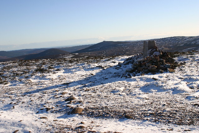
Peter Hill is a prominent landmark located in Aberdeenshire, Scotland. Rising to a height of approximately 1,275 feet (388 meters), it is categorized as a hill rather than a mountain due to its elevation. Situated within the Cairngorms National Park, Peter Hill offers breathtaking views of the surrounding countryside and is a popular destination for hikers and nature enthusiasts.
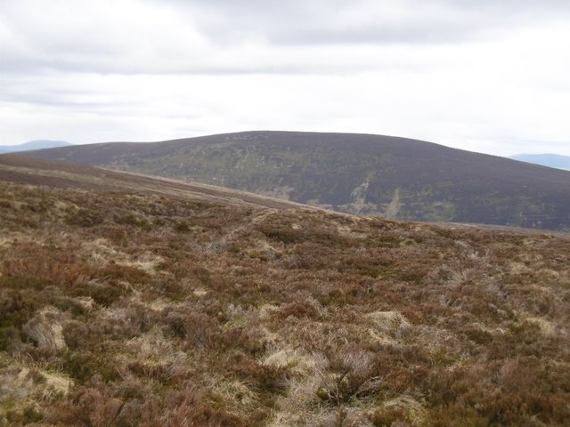
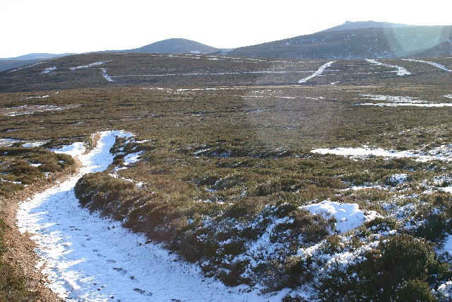
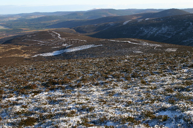
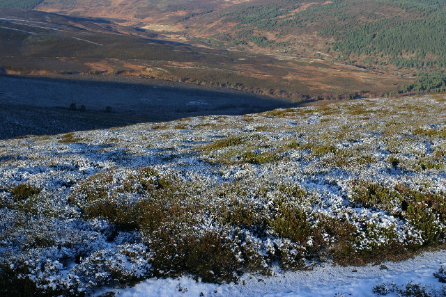
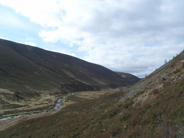
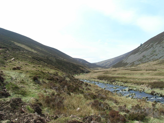
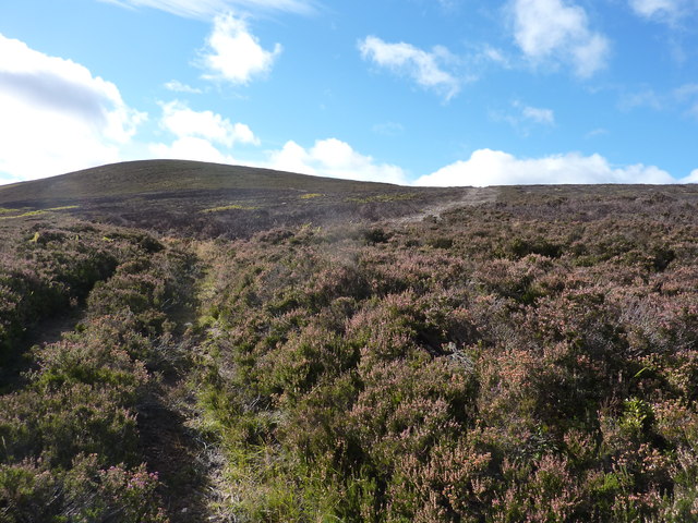
The hill is characterized by its gently sloping terrain and is covered in rich heather moorland, which adds a vibrant purple hue to the landscape during the summer months. It is also home to a variety of wildlife, including red deer, grouse, and various bird species, making it a haven for birdwatchers.
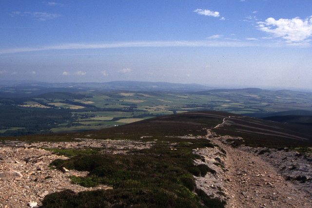
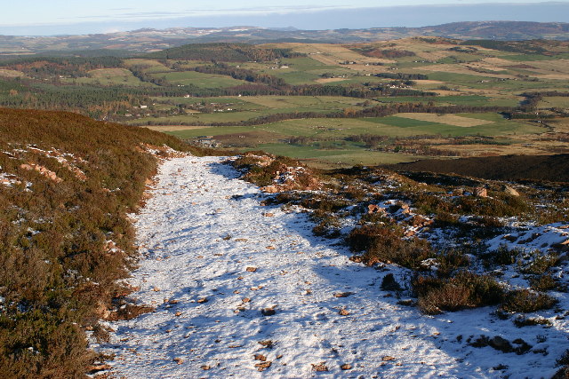
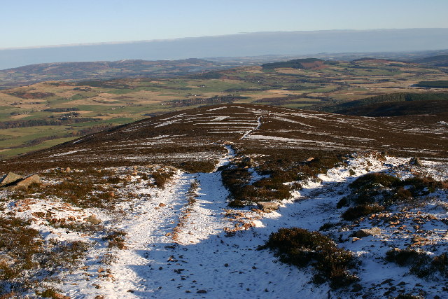
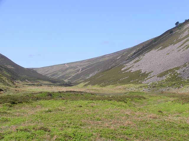
Access to Peter Hill is relatively easy, with several well-marked trails leading to the summit. The most popular route starts from the nearby village of Tarland, where visitors can find ample parking and amenities. The ascent takes approximately two to three hours, depending on fitness levels, and offers picturesque views of the surrounding countryside throughout the journey.
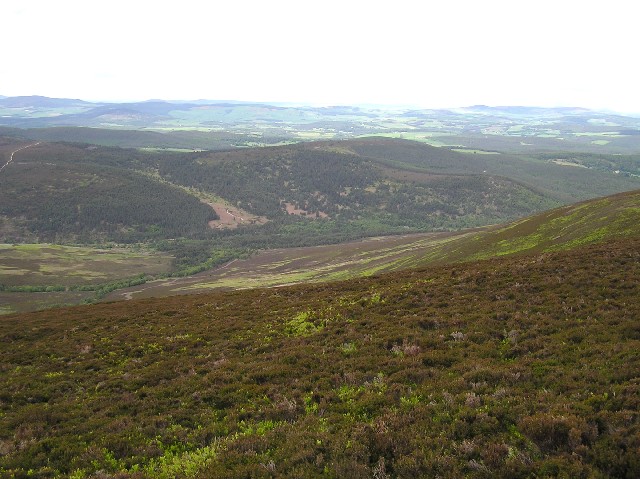
Once at the top, visitors are rewarded with panoramic vistas that stretch across Aberdeenshire, encompassing rolling hills, tranquil lochs, and distant mountains. On clear days, it is even possible to catch a glimpse of the North Sea shimmering in the distance.
Peter Hill, Aberdeenshire, is an idyllic destination for those seeking a peaceful and scenic outdoor experience. Its accessibility, diverse wildlife, and stunning views make it a must-visit location for anyone exploring the Cairngorms National Park.
If you have any feedback on the listing, please let us know in the comments section below.
Peter Hill Images
Images are sourced within 2km of 56.986563/-2.6967619 or Grid Reference NO5788. Thanks to Geograph Open Source API. All images are credited.


Peter Hill is located at Grid Ref: NO5788 (Lat: 56.986563, Lng: -2.6967619)
Unitary Authority: Aberdeenshire
Police Authority: North East
What 3 Words
///weaned.voltage.scripted. Near Aboyne, Aberdeenshire
Nearby Locations
Related Wikis

Clachnaben
Clachnaben (archaically "Cloch-na'bain"; Scottish Gaelic: "Clach na Beinne") is a 589-metre hill in Glen Dye, Aberdeenshire, Scotland. It is a distinctive...

Easter Clune Castle
Easter Clune Castle is a ruined 16th-century tower house, about 6 miles (9.7 km) south-west of Banchory, Aberdeenshire, Scotland, and south of the Water...

Forest of Birse
The Forest of Birse is a remote upland area in the upper catchment of the Water of Feugh, which forms the south-western portion of the Parish of Birse...

Mount Battock
Mount Battock (778 m) is a mountain in the Mounth on the eastern edge of the Scottish Highlands, on the border between Aberdeenshire and Angus. A rounded...
Nearby Amenities
Located within 500m of 56.986563,-2.6967619Have you been to Peter Hill?
Leave your review of Peter Hill below (or comments, questions and feedback).