Barren Hill
Hill, Mountain in Roxburghshire
Scotland
Barren Hill

Barren Hill, located in Roxburghshire, is a prominent hill/mountain in the southern part of Scotland. Standing at an elevation of approximately 459 meters (1,506 feet), it offers breathtaking views of the surrounding countryside. The hill is situated in the Cheviot Hills, a range that straddles the border between Scotland and England.
Barren Hill is known for its rugged and wild beauty, characterized by its rocky terrain and sparse vegetation. The hill is largely devoid of trees, hence its name, which reflects its barren appearance. Despite its lack of vegetation, the hill is home to various species of wildlife, including birds of prey like buzzards and kestrels, as well as sheep and deer.
The summit of Barren Hill provides a panoramic vista of the rolling hills and valleys that stretch for miles around. On clear days, it is possible to spot other notable landmarks in the distance, such as the Eildon Hills and the River Tweed.
The hill is a popular destination for hikers and nature enthusiasts, who are drawn to its challenging trails and the opportunity to immerse themselves in the unspoiled Scottish countryside. The ascent to the summit can be demanding, particularly in adverse weather conditions, but the reward of the breathtaking views makes the effort worthwhile.
Whether visited for its scenic beauty, wildlife, or as a challenging hiking destination, Barren Hill offers a unique opportunity to experience the untamed natural landscape of Roxburghshire.
If you have any feedback on the listing, please let us know in the comments section below.
Barren Hill Images
Images are sourced within 2km of 55.28789/-2.6665165 or Grid Reference NY5799. Thanks to Geograph Open Source API. All images are credited.


Barren Hill is located at Grid Ref: NY5799 (Lat: 55.28789, Lng: -2.6665165)
Unitary Authority: The Scottish Borders
Police Authority: The Lothians and Scottish Borders
What 3 Words
///skinning.attends.drilled. Near Hawick, Scottish Borders
Nearby Locations
Related Wikis
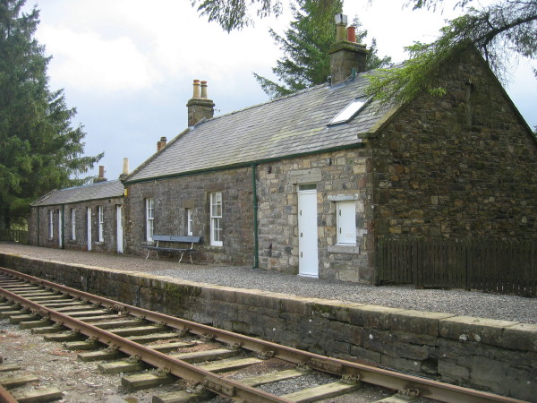
Saughtree railway station
Saughtree railway station is a closed railway station situated a mile north of the hamlet of Saughtree and two miles from the border with England. ��2...
Saughtree
Saughtree is a hamlet in the Scottish Borders at the junction of the B6357 and an unnamed road from Kielder village in Northumberland, England. It is at...

Wauchope Forest
Wauchope Forest is a forest on the Rule Water, in the Scottish Borders area of Scotland, south of Hawick, and including the A6088, the A68 and the B6357...
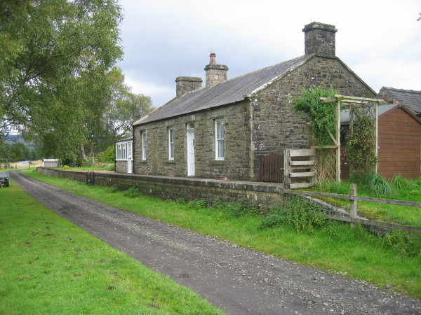
Deadwater railway station
Deadwater railway station is a closed railway station situated on the border between England and Scotland at the head of the North Tyne River. The station...
Nearby Amenities
Located within 500m of 55.28789,-2.6665165Have you been to Barren Hill?
Leave your review of Barren Hill below (or comments, questions and feedback).