Pike Hill
Hill, Mountain in Cumberland Carlisle
England
Pike Hill

Pike Hill is a prominent geographical feature located in the town of Cumberland, Rhode Island, in the United States. It is classified as both a hill and a mountain, with an elevation of approximately 600 feet (183 meters) above sea level. The hill is part of the larger geographic region known as the Cumberland Hills.
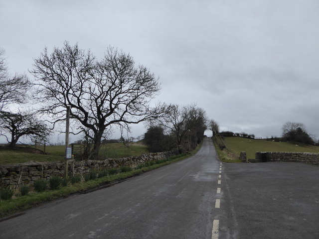
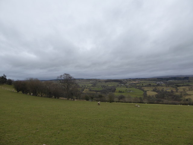
Situated in the northeastern part of the town, Pike Hill offers stunning panoramic views of the surrounding landscape. Its location makes it a popular destination for hikers, nature enthusiasts, and outdoor adventurers alike. The hill is covered in lush green vegetation, with a mix of deciduous and evergreen trees, providing a picturesque backdrop for visitors.
At the summit of Pike Hill, there is an observation area that allows visitors to take in the breathtaking vistas of the Blackstone River Valley and the nearby Massachusetts border. On clear days, it is even possible to see as far as the Boston skyline.
In addition to its natural beauty, Pike Hill also holds historical significance. It is said that during the American Revolutionary War, General Nathanael Greene used the hill as a vantage point to monitor British troop movements in the area.
Overall, Pike Hill in Cumberland, Rhode Island, is a remarkable geographical feature that offers both natural beauty and historical significance. It attracts visitors with its stunning views, diverse flora, and opportunities for outdoor exploration.
If you have any feedback on the listing, please let us know in the comments section below.
Pike Hill Images
Images are sourced within 2km of 54.975928/-2.6629624 or Grid Reference NY5764. Thanks to Geograph Open Source API. All images are credited.


Pike Hill is located at Grid Ref: NY5764 (Lat: 54.975928, Lng: -2.6629624)
Administrative County: Cumbria
District: Carlisle
Police Authority: Cumbria
What 3 Words
///code.workroom.resonated. Near Brampton, Cumbria
Nearby Locations
Related Wikis
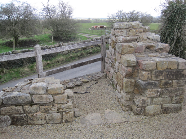
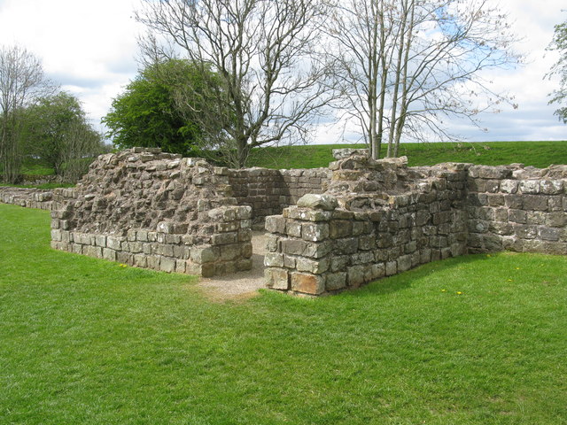
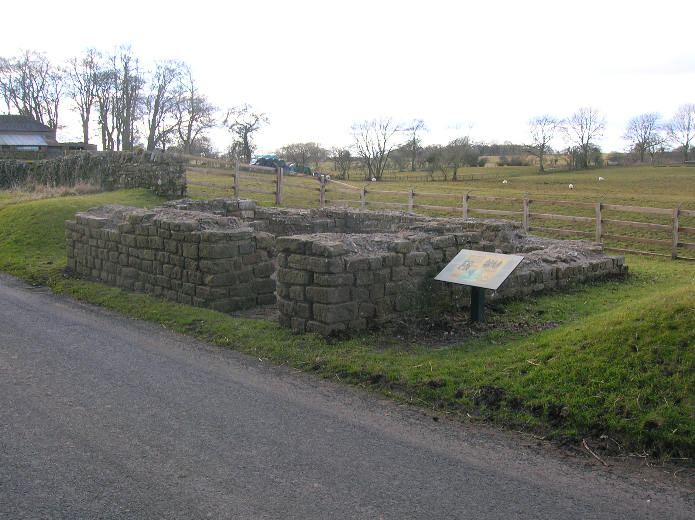
Pike Hill Signal Tower
Pike Hill Signal Tower was one of a number of signal stations that were built on high ground overlooking the line of the Roman Stanegate road in northern...

Milecastle 52
Milecastle 52 (Bankshead) was a milecastle on Hadrian's Wall (grid reference NY57946490). == Description == Milecastle 52 is west of Birdoswald fort. It...

Banks, Cumbria
Banks is a village in Cumbria, England, astride the course of Hadrian's Wall, 3 mile (5 km) NE of the market town of Brampton. The historic Lanercost Priory...
Leahill Turret, Hadrian's Wall
Leahill Turret is a typical example of one of the lookout towers located between the milecastles on Hadrian's Wall in Cumbria; located on the Lanercost...
Nearby Amenities
Located within 500m of 54.975928,-2.6629624Have you been to Pike Hill?
Leave your review of Pike Hill below (or comments, questions and feedback).