Whitelaw Hill

Hill, Mountain in East Lothian

Scotland

Whitelaw Hill

Footpath near Garvald Mains Leading ultiamtely to Chesters near Baro.
Footpath near Garvald Mains Credit: James Denham

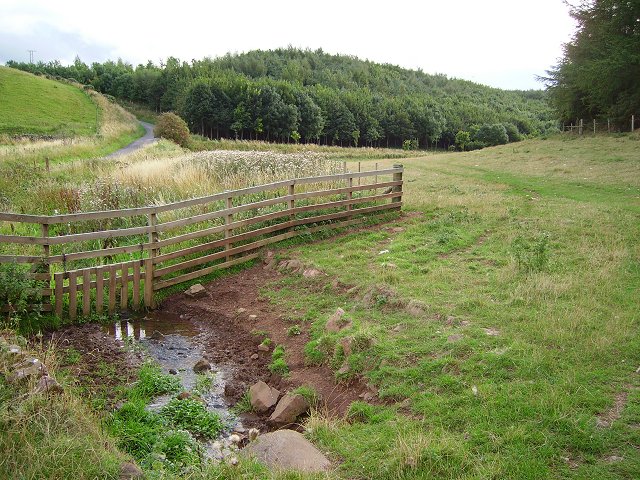
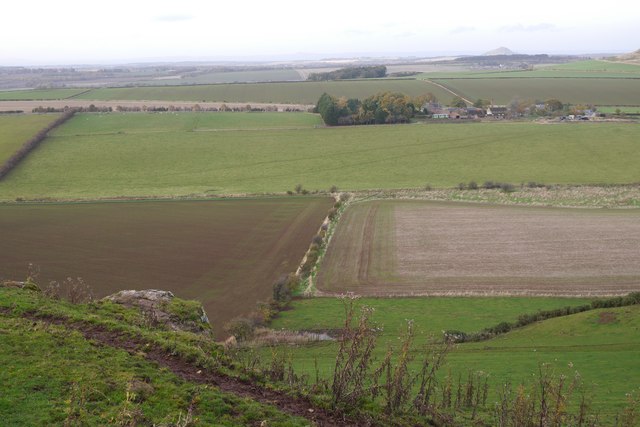
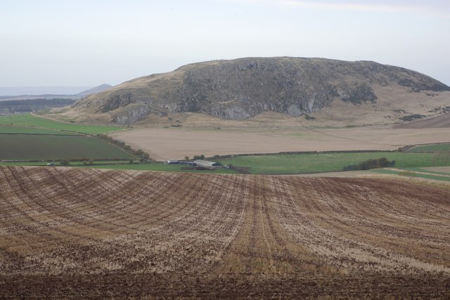
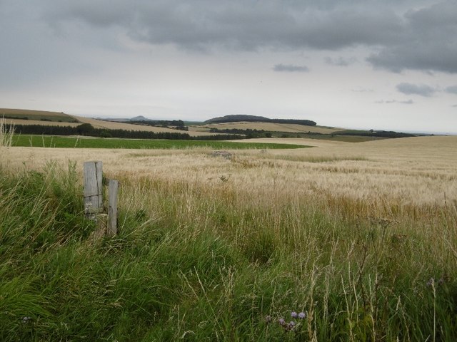
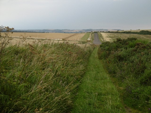
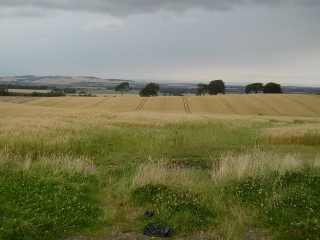
Whitelaw Hill is a prominent hill located in East Lothian, Scotland. Standing at an elevation of 210 meters (689 feet), it offers stunning panoramic views of the surrounding countryside and coastline. Situated near the village of Dunbar, the hill is easily accessible and attracts both locals and tourists alike.

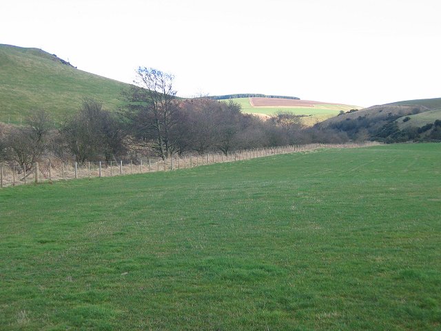
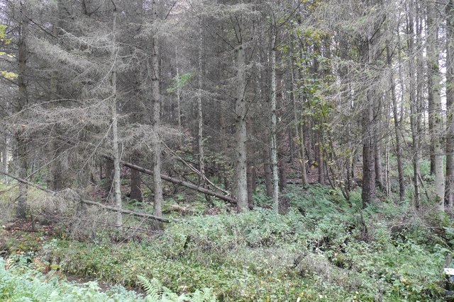
The hill is primarily composed of sedimentary rocks, such as sandstone and shale, which were formed millions of years ago during the Carboniferous period. These rocks have been eroded over time, creating a gently sloping landscape with grassy slopes and rocky outcrops.

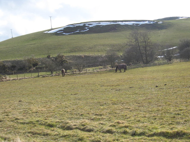
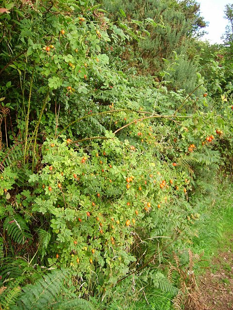
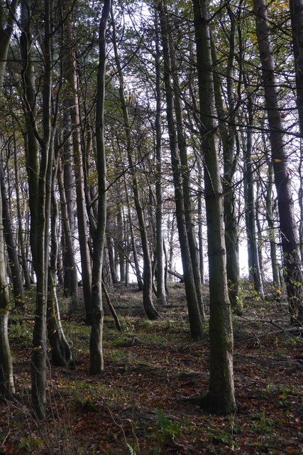
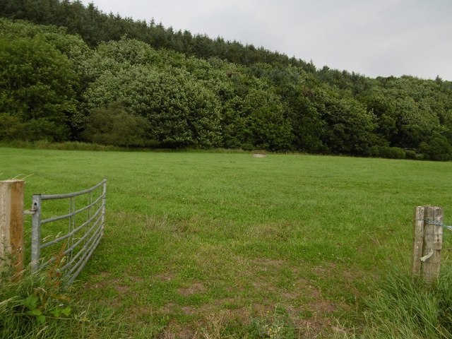
Whitelaw Hill is known for its diverse flora and fauna. The open grasslands provide a favorable habitat for a variety of wildflowers, including harebells, meadow buttercups, and orchids. The hill is also home to numerous bird species, such as skylarks, meadow pipits, and kestrels, which can be spotted soaring above the hillside.

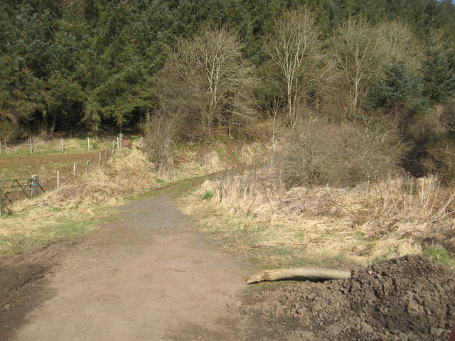
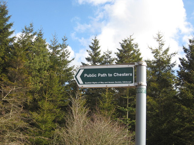
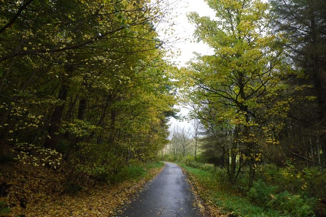
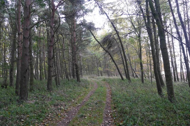
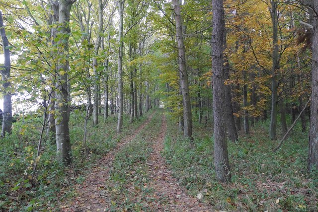
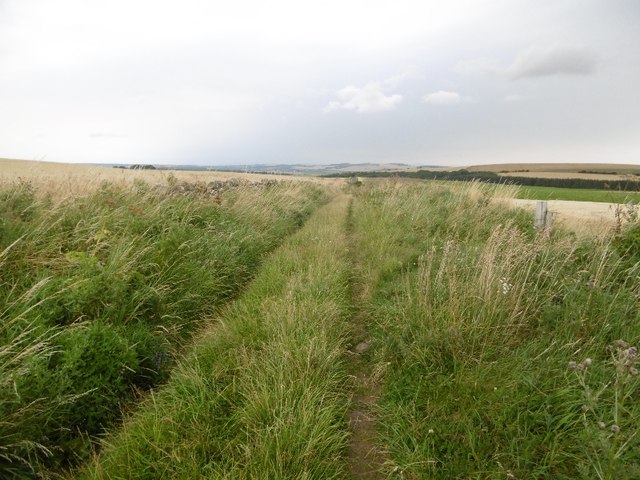
The hill offers several walking trails that cater to different levels of fitness and interest. A popular route is the circular path that leads to the summit, providing breathtaking views of the North Sea and the surrounding East Lothian countryside. The hill is also a favorite spot for paragliding enthusiasts, who take advantage of the strong coastal winds to launch their flights.

Whitelaw Hill holds historical significance as well. On its slopes, there are remnants of an Iron Age fort, which once served as a defensive settlement. This archaeological site attracts history enthusiasts and offers a glimpse into the region's ancient past.

Overall, Whitelaw Hill is a picturesque and historically significant hill, offering visitors a chance to immerse themselves in the natural beauty and rich heritage of East Lothian.

If you have any feedback on the listing, please let us know in the comments section below.

Whitelaw Hill Images

Images are sourced within 2km of 55.935235/-2.6853712 or Grid Reference NT5771. Thanks to Geograph Open Source API. All images are credited.

Footpath near Garvald Mains Leading ultiamtely to Chesters near Baro.
Footpath near Garvald Mains
Leading ultiamtely to Chesters near Baro.
The way to Chesters A sign post below Garvald Mains.
The way to Chesters
A sign post below Garvald Mains.
Grazing lands at Garvald Mains in East Lothian Horses grazing on thinly cover lands in the cold Spring sunshine.
Grazing lands at Garvald Mains in East Lothian
Horses grazing on thinly cover lands in the cold Spring sunshine.
Donolly Burn. Looking up the glen of the Donolly Burn.
Donolly Burn.
Looking up the glen of the Donolly Burn.
Sounding Burn Mixed grazing and woodland near Gifford. The field contained a flock of sheep at the time (Cheviots).
Sounding Burn
Mixed grazing and woodland near Gifford. The field contained a flock of sheep at the time (Cheviots).
Rose hips Fruit of the wild rose (Rosa canina) alongside a track to Donolly Reservoir.
Rose hips
Fruit of the wild rose (Rosa canina) alongside a track to Donolly Reservoir.
Black Knowe Plantation A small wood on steep ground.
Black Knowe Plantation
A small wood on steep ground.
Woodland lane, East Lothian Between two woods on steep slopes.
Woodland lane, East Lothian
Between two woods on steep slopes.
View from Blaikie Heugh Top of one of the numerous basalt crags found along the south shore of the Firth of Forth.
View from Blaikie Heugh
Top of one of the numerous basalt crags found along the south shore of the Firth of Forth.
Lawhead Plantation Mixed woodland on Lawhead Hill.
Lawhead Plantation
Mixed woodland on Lawhead Hill.
Track, Lawhead Hill A strip of woodland on the north side of Lawhead Hill, East Lothian.
Track, Lawhead Hill
A strip of woodland on the north side of Lawhead Hill, East Lothian.
Track on Lawhead Hill Near the summit.
Track on Lawhead Hill
Near the summit.
Stubble, Lawhead Hill View northwards from the edge of Lawhead Plantation towards Traprain Law.
Stubble, Lawhead Hill
View northwards from the edge of Lawhead Plantation towards Traprain Law.
Field under Sled Wood A road, now overgrown and part of the core path network, runs through the wood along the obvious vegetation boundary.
Field under Sled Wood
A road, now overgrown and part of the core path network, runs through the wood along the obvious vegetation boundary.
Road on Sled Hill Shown on 1920s mapping as a motorable road and it still has a good surface beneath the grass.
Road on Sled Hill
Shown on 1920s mapping as a motorable road and it still has a good surface beneath the grass.
ROC post, Sled Hill Remained in good condition until recently discovered by neds who trashed the place.
ROC post, Sled Hill
Remained in good condition until recently discovered by neds who trashed the place.
Road, Sled Hill Once marked on maps as a motorable road, now a well surfaced farm track.
Road, Sled Hill
Once marked on maps as a motorable road, now a well surfaced farm track.
Barley between Baro and Chesters Harvest time in East Lothian.
Barley between Baro and Chesters
Harvest time in East Lothian.
Show me another place!

Whitelaw Hill is located at Grid Ref: NT5771 (Lat: 55.935235, Lng: -2.6853712)

Unitary Authority: East Lothian

Police Authority: The Lothians and Scottish Borders

What 3 Words

///diplomas.carting.vibrates. Near East Linton, East Lothian

Related Wikis

Garvald, East Lothian

Garvald is a village south-east of Haddington in East Lothian, Scotland. It lies on the Papana Water south of the B6370, east of Gifford. The combined...

Morham

Morham, East Lothian, sometimes spelt Moram, Morum, or Morhame in old records, is the smallest (agricultural) parish in Scotland, sandwiched between five...

Bara, East Lothian

Bara, anciently spelt Baro, is an agricultural parish in East Lothian, Scotland, which adjoins the parish of Garvald to the east, and Lauder across the...

Stoneypath Tower

Stoneypath Tower, is an L-plan tower house dating from the late sixteenth century, about 3.5 miles (5.6 km) south of East Linton, and east of the Whittinghame...

Nearby Amenities

Located within 500m of 55.935235,-2.6853712
Whitelaw Hill
Place: locality
Source: OSODSM
Lat/Long: 55.9347143/-2.6862579
The data included in this document is from www.openstreetmap.org. The data is made available under ODbL.

Have you been to Whitelaw Hill?

Leave your review of Whitelaw Hill below (or comments, questions and feedback).