Craggle Hill
Hill, Mountain in Cumberland Carlisle
England
Craggle Hill
Craggle Hill, located in Cumberland, is a prominent hill or mountain in the region. Standing at an elevation of approximately 1,500 feet, it is one of the tallest peaks in the area, offering breathtaking panoramic views of the surrounding landscape. The hill is part of the larger Cumberland Mountain range, which stretches across several counties in the region.
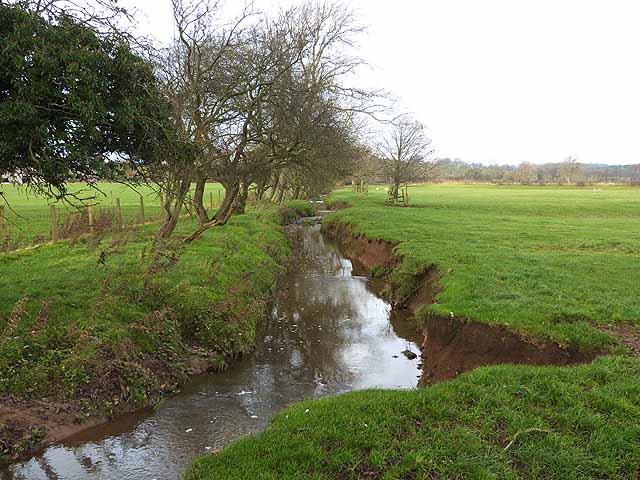
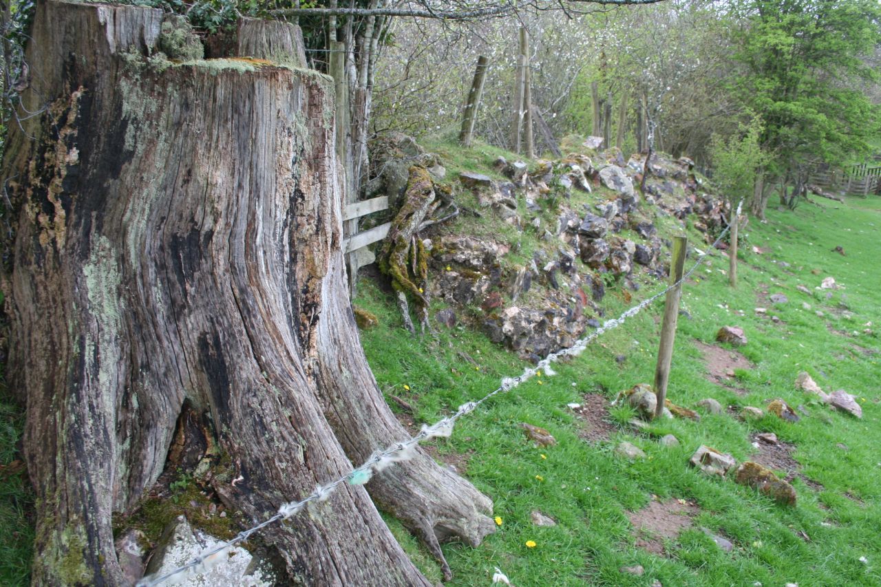
Craggle Hill is characterized by its rugged terrain and rocky slopes, making it a popular destination for hikers and outdoor enthusiasts. The hill is covered by a diverse range of vegetation, including dense forests of oak, maple, and pine trees. The lower slopes are home to various wildlife species, including deer, foxes, and a variety of bird species.
One of the notable features of Craggle Hill is its unique rock formations, which have been formed over millions of years through geological processes. These formations provide a glimpse into the area's geological history and are often a point of interest for geologists and nature lovers alike.
Access to Craggle Hill is facilitated by a network of hiking trails that wind through the surrounding countryside. These trails offer varying degrees of difficulty, catering to both casual walkers and experienced climbers. Visitors to Craggle Hill can enjoy a range of recreational activities, including hiking, camping, and nature photography.
Overall, Craggle Hill in Cumberland is a natural landmark that offers stunning vistas, diverse wildlife, and a chance to explore the beauty of the Cumberland Mountain range.
If you have any feedback on the listing, please let us know in the comments section below.
Craggle Hill Images
Images are sourced within 2km of 54.974366/-2.6886046 or Grid Reference NY5664. Thanks to Geograph Open Source API. All images are credited.

Craggle Hill is located at Grid Ref: NY5664 (Lat: 54.974366, Lng: -2.6886046)
Administrative County: Cumbria
District: Carlisle
Police Authority: Cumbria
What 3 Words
///starlight.broth.dorm. Near Brampton, Cumbria
Nearby Locations
Related Wikis

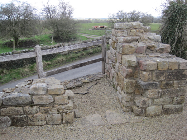
Milecastle 53
Milecastle 53 (Banks Burn) was a milecastle on Hadrian's Wall (grid reference NY56486460). == Description == Milecastle 53 is west of the hamlet of Banks...
Burtholme
Burtholme refers to any of a civil parish in Cumbria, England, a hamlet within that parish or a family name originally linked to the place. It also appears...
Milecastle 54
Milecastle 54 (Randylands) was a milecastle on Hadrian's Wall (grid reference NY55066444). == Description == Milecastle 54 is on a west-facing hill-slope...

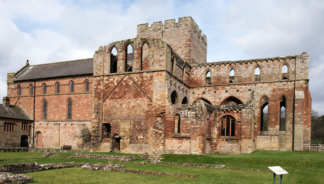
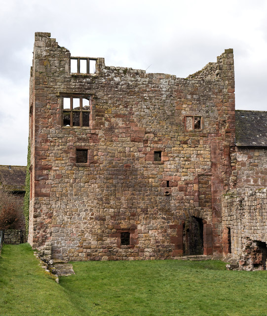
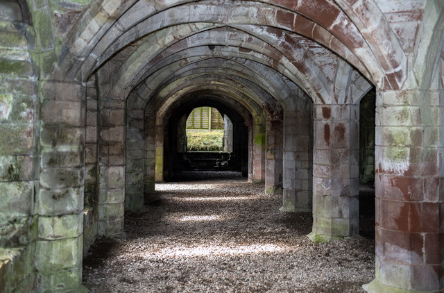
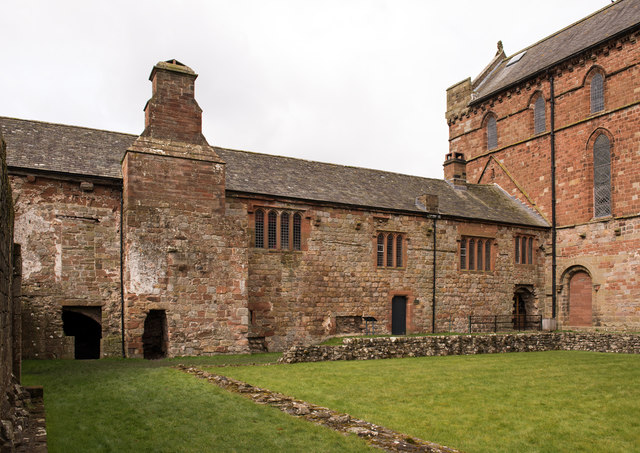
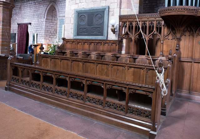
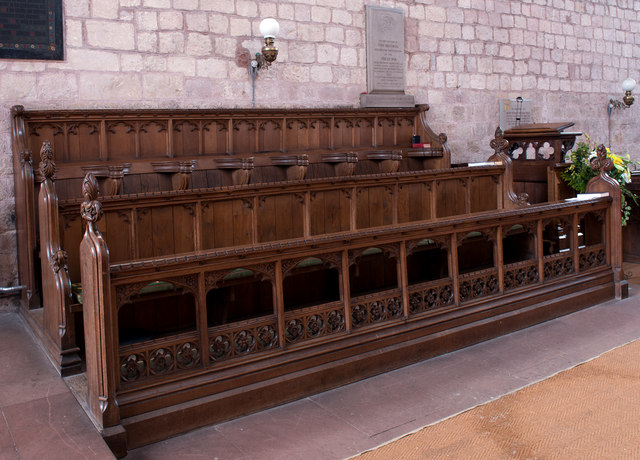
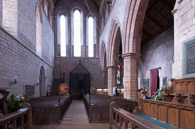
Lanercost Priory
Lanercost Priory was founded by Robert de Vaux between 1165 and 1174, the most likely date being 1169, to house Augustinian canons. The priory is situated...

Banks, Cumbria
Banks is a village in Cumbria, England, astride the course of Hadrian's Wall, 3 mile (5 km) NE of the market town of Brampton. The historic Lanercost Priory...

Lanercost
Lanercost is a village in the northern part of Cumbria, England. The settlement is in the civil parish of Burtholme, in the City of Carlisle local government...
Pike Hill Signal Tower
Pike Hill Signal Tower was one of a number of signal stations that were built on high ground overlooking the line of the Roman Stanegate road in northern...

Milecastle 52
Milecastle 52 (Bankshead) was a milecastle on Hadrian's Wall (grid reference NY57946490). == Description == Milecastle 52 is west of Birdoswald fort. It...
Nearby Amenities
Located within 500m of 54.974366,-2.6886046Have you been to Craggle Hill?
Leave your review of Craggle Hill below (or comments, questions and feedback).