Banks

Settlement in Cumberland Carlisle

England

Banks

Lanercost Priory - March 2016 (1) Tomb of Elizabeth Dacre Howard (detail). See also: <a href="https://www.geograph.org.uk/photo/3190932">NY5563 : Child's Tomb, Lanercost Priory</a> .
Lanercost Priory - March 2016 (1) Credit: The Carlisle Kid

Banks, Cumberland is a small rural village located in the county of Cumberland, England. Situated about 3 miles southwest of the town of Brampton, Banks is nestled in a picturesque countryside setting, surrounded by rolling green hills and farmland.

The village is home to a close-knit community of around 300 residents, who enjoy the tranquility and charm that Banks has to offer. The architecture in the area is predominantly traditional, with a mix of stone-built cottages and farmhouses, giving the village a timeless and idyllic feel.

Despite its small size, Banks has a number of amenities to cater to the needs of its residents. The village boasts a primary school, providing education for local children, as well as a village hall that serves as a community hub for various events and gatherings.

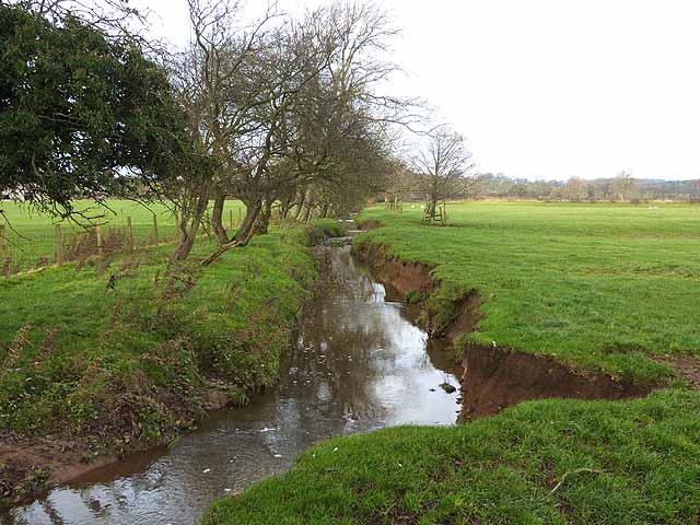
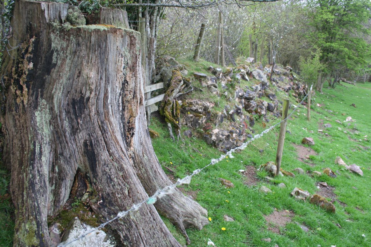
The surrounding area offers plenty of opportunities for outdoor activities and exploration. The nearby River Irthing provides a peaceful spot for fishing and leisurely walks along its banks. Additionally, Banks is conveniently located near the stunning North Pennines Area of Outstanding Natural Beauty, offering breathtaking landscapes and opportunities for hiking, cycling, and wildlife spotting.

Transport links to and from Banks are relatively limited, with the village being served by local bus services. However, the nearby town of Brampton provides additional amenities and access to the A69 road, connecting the area to larger towns and cities.

Overall, Banks, Cumberland is a charming and peaceful village, offering a close-knit community and beautiful natural surroundings for those seeking a rural lifestyle.

If you have any feedback on the listing, please let us know in the comments section below.
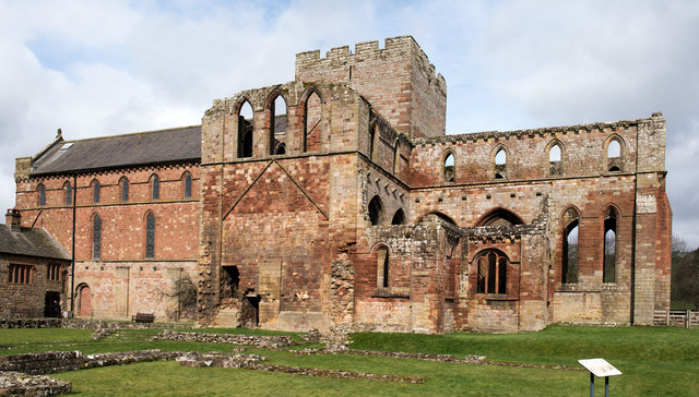
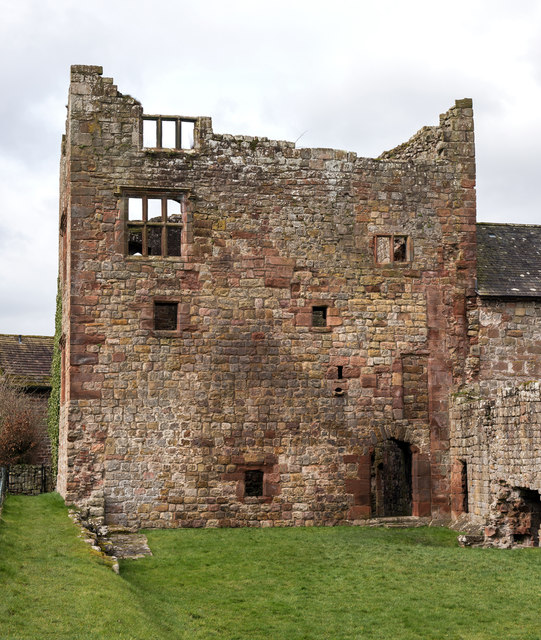
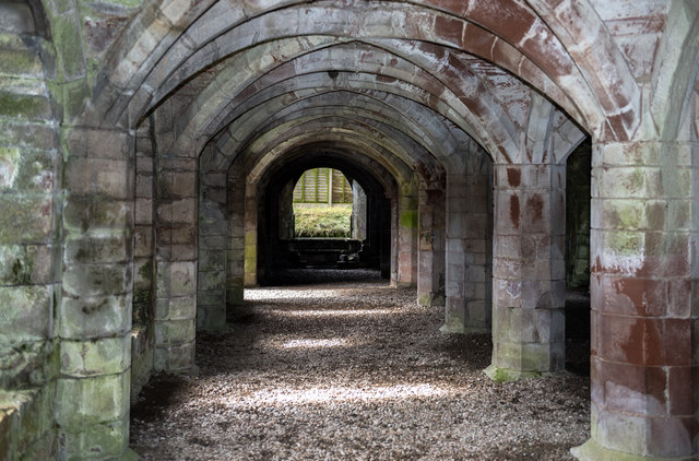
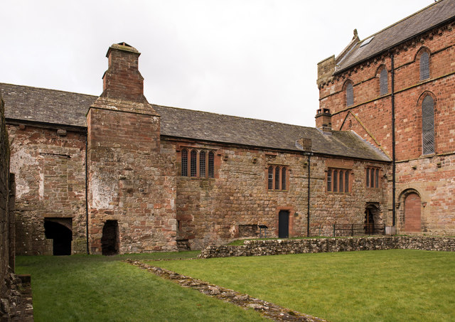
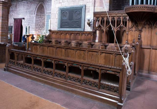
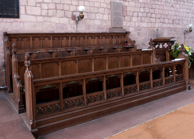
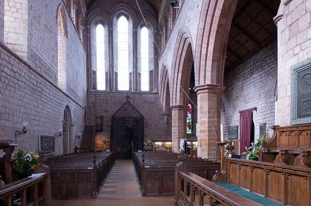
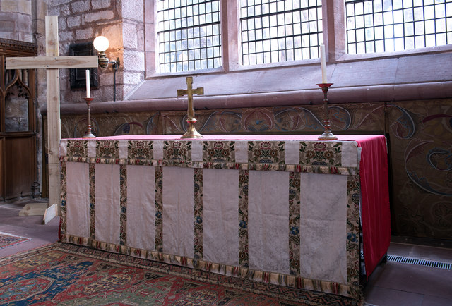
Banks Images

Images are sourced within 2km of 54.973689/-2.678917 or Grid Reference NY5664. Thanks to Geograph Open Source API. All images are credited.

Lanercost Priory - March 2016 (1) Tomb of Elizabeth Dacre Howard (detail). See also: <a href="https://www.geograph.org.uk/photo/3190932">NY5563 : Child's Tomb, Lanercost Priory</a> .
Lanercost Priory - March 2016 (1)
Tomb of Elizabeth Dacre Howard (detail). See also: NY5563 : Child's Tomb, Lanercost Priory .
Lanercost Priory - March 2016 (2) Tomb of Sir Humphrey & Lady Mabel Dacre.
Lanercost Priory - March 2016 (2)
Tomb of Sir Humphrey & Lady Mabel Dacre.
Lanercost Priory - March 2016 (3) Tomb of Sir Humphrey & Lady Mabel Dacre and part of the North Transept.
Lanercost Priory - March 2016 (3)
Tomb of Sir Humphrey & Lady Mabel Dacre and part of the North Transept.
Lanercost Priory - March 2016 (4) Remains of the east window.
Lanercost Priory - March 2016 (4)
Remains of the east window.
Lanercost Priory - March 2016 (5) The ruined east end with (to left) the Priory Church of St Mary Magdalene - see also: <a href="https://www.geograph.org.uk/photo/445357">NY5563 : Lanercost Priory, ruined chancel</a> .
Lanercost Priory - March 2016 (5)
The ruined east end with (to left) the Priory Church of St Mary Magdalene - see also: NY5563 : Lanercost Priory, ruined chancel .
Lanercost Priory - March 2016 (6) Remains of monk's dining room - the arched doorway gives access to the undercroft.
Lanercost Priory - March 2016 (6)
Remains of monk's dining room - the arched doorway gives access to the undercroft.
Lanercost Priory - March 2016 (7) Lands adjoining the Priory are still used as a working farm.
Lanercost Priory - March 2016 (7)
Lands adjoining the Priory are still used as a working farm.
Lanercost Priory - March 2016 (8) Dacre tower- part of the family residence created by Thomas Dacre after dissolution of the Priory in 1538.
Lanercost Priory - March 2016 (8)
Dacre tower- part of the family residence created by Thomas Dacre after dissolution of the Priory in 1538.
Lanercost Priory - March 2016 (9) The undercroft - see also: <a href="https://www.geograph.org.uk/photo/3190829">NY5563 : Lanercost Priory Refectory Undercroft</a> .
Lanercost Priory - March 2016 (9)
The undercroft - see also: NY5563 : Lanercost Priory Refectory Undercroft .
Lanercost Priory - March 2016 (10) Dacre Hall - east wall. A residence built by the Dacre family from the former monastic west range. Now in use as the village hall.
Lanercost Priory - March 2016 (10)
Dacre Hall - east wall. A residence built by the Dacre family from the former monastic west range. Now in use as the village hall.
Lanercost Priory - March 2016 (11) Priory Church of St Mary Magdalene (1) - north choir pews. Above the pews can be seen the memorial to Charles Howard (see: <a href="https://www.geograph.org.uk/photo/3190777">NY5563 : Lanercost Priory Church, Memorial to Charles Howard</a> ).
Lanercost Priory - March 2016 (11)
Priory Church of St Mary Magdalene (1) - north choir pews. Above the pews can be seen the memorial to Charles Howard (see: NY5563 : Lanercost Priory Church, Memorial to Charles Howard ).
Lanercost Priory - March 2016 (12) Priory Church of St Mary Magdalene (2) - south choir pews.
Lanercost Priory - March 2016 (12)
Priory Church of St Mary Magdalene (2) - south choir pews.
Lanercost Priory - March 2016 (13) Priory Church of St Mary Magdalene (3) - view down the nave to the west door. For a view to the east window, see: <a href="https://www.geograph.org.uk/photo/3190753">NY5563 : Lanercost Priory Church (Nave and East Window)</a> .
Lanercost Priory - March 2016 (13)
Priory Church of St Mary Magdalene (3) - view down the nave to the west door. For a view to the east window, see: NY5563 : Lanercost Priory Church (Nave and East Window) .
Lanercost Priory - March 2016 (14) Priory Church of St Mary Magdalene (4) - altar and William Morris designed dossal. Commissioned by the 9th Earl of Carlisle from his friend and arts & crafts artist William Morris, the dossal was hung on Easter Day 1887.
Lanercost Priory - March 2016 (14)
Priory Church of St Mary Magdalene (4) - altar and William Morris designed dossal. Commissioned by the 9th Earl of Carlisle from his friend and arts & crafts artist William Morris, the dossal was hung on Easter Day 1887.
Lanercost Priory - March 2016 (15) Priory Church of St Mary Magdalene (5) - detail from the William Morris dossal.
Lanercost Priory - March 2016 (15)
Priory Church of St Mary Magdalene (5) - detail from the William Morris dossal.
Lanercost Priory - March 2016 (16) Priory Church of St Mary Magdalene (6) - nave and north side pews.
Lanercost Priory - March 2016 (16)
Priory Church of St Mary Magdalene (6) - nave and north side pews.
Lanercost Priory - March 2016 (17) Priory Church of St Mary Magdalene (7) - memorial to the Charlton brothers. Memorial to the two sons (and only children) of the artist John Charlton and his wife, Kate J M Charlton. Lt Hugh Vaughan Clarlton, killed on 24 June 1916 and his younger brother, Cpt John Macfarlan Charlton, killed on the first day of the Somme, 1 July 1916.

For information on the artist John Charlton, see: <span class="nowrap"><a title="https://en.wikipedia.org/wiki/John_Charlton_(artist)" rel="nofollow ugc noopener" href="https://en.wikipedia.org/wiki/John_Charlton_(artist)">Link</a><img style="margin-left:2px;" alt="External link" title="External link - shift click to open in new window" src="https://s1.geograph.org.uk/img/external.png" width="10" height="10"/></span>
Lanercost Priory - March 2016 (17)
Priory Church of St Mary Magdalene (7) - memorial to the Charlton brothers. Memorial to the two sons (and only children) of the artist John Charlton and his wife, Kate J M Charlton. Lt Hugh Vaughan Clarlton, killed on 24 June 1916 and his younger brother, Cpt John Macfarlan Charlton, killed on the first day of the Somme, 1 July 1916. For information on the artist John Charlton, see: LinkExternal link
Lanercost Priory - March 2016 (18) Priory Church of St Mary Magdalene (8) -  Cecilia Roberts Memorial Window. Designed by the Irish artist Evie Hone, additional information can be found: <a href="https://www.geograph.org.uk/photo/3190793">NY5563 : Lanercost Priory Church, Cecilia Roberts Memorial Stained Glass Window</a> .
Lanercost Priory - March 2016 (18)
Priory Church of St Mary Magdalene (8) - Cecilia Roberts Memorial Window. Designed by the Irish artist Evie Hone, additional information can be found: NY5563 : Lanercost Priory Church, Cecilia Roberts Memorial Stained Glass Window .
Show me another place!

Banks is located at Grid Ref: NY5664 (Lat: 54.973689, Lng: -2.678917)

Administrative County: Cumbria

District: Carlisle

Police Authority: Cumbria

What 3 Words

///burst.compiled.lunge. Near Brampton, Cumbria

Related Wikis

Nearby Amenities

Located within 500m of 54.973689,-2.678917
Post Box
Collection Times: Mo-Fr 16:00; Sa 11:30
Operator: Royal Mail
Operator Wikidata: Q638098
Post Box Type: lamp
Ref: CA8 121
Royal Cypher: EIIR
Royal Cypher Wikidata: Q33102113
Lat/Long: 54.9739328/-2.6719502
Information: map
Tourism: information
Lat/Long: 54.9739701/-2.6718877
Banks
Place: hamlet
Wikidata: Q4856468
Lat/Long: 54.9771394/-2.6819412
Mile Castle 53
Historic: archaeological_site
Is In County: Cumberland
Source: NLS-OS-1st_Series
Lat/Long: 54.9742374/-2.6814535
Board Type: history
Information: board
Tourism: information
Lat/Long: 54.9742913/-2.6823626
Bench
Lat/Long: 54.9739113/-2.6719134
Bench
Lat/Long: 54.9738733/-2.6718776
Power: pole
Lat/Long: 54.970357/-2.6804911
Power: pole
Lat/Long: 54.9710135/-2.6796617
Power: pole
Lat/Long: 54.9718889/-2.6792871
Power: pole
Lat/Long: 54.9725035/-2.6790291
Power: pole
Lat/Long: 54.9736154/-2.6785624
Power: pole
Lat/Long: 54.9744715/-2.6781901
Power: pole
Lat/Long: 54.9751703/-2.6785758
Power: pole
Lat/Long: 54.9759957/-2.6790307
Power: pole
Lat/Long: 54.9766675/-2.6795056
Power: pole
Lat/Long: 54.9773201/-2.6799582
Power: pole
Lat/Long: 54.977832/-2.680723
Power: pole
Lat/Long: 54.9706859/-2.6791912
Power: pole
Lat/Long: 54.9710583/-2.6776638
Power: pole
Lat/Long: 54.9713629/-2.6763817
Power: pole
Lat/Long: 54.9716803/-2.6751108
Power: pole
Lat/Long: 54.9722562/-2.6740583
Power: pole
Lat/Long: 54.9728565/-2.6729613
Power: pole
Lat/Long: 54.9732801/-2.6722344
Power: pole
Lat/Long: 54.9726069/-2.674482
Power: pole
Lat/Long: 54.9724431/-2.6797955
Power: pole
Lat/Long: 54.9778582/-2.677314
Power: pole
Lat/Long: 54.9772163/-2.6785147
The data included in this document is from www.openstreetmap.org. The data is made available under ODbL.

Have you been to Banks?

Leave your review of Banks below (or comments, questions and feedback).