Cockshoot Hill

Hill, Mountain in Gloucestershire Forest of Dean

England

Cockshoot Hill

B4228 at Hewelsfield Cross
B4228 at Hewelsfield Cross Credit: Colin Pyle

Cockshoot Hill, located in Gloucestershire, England, is a prominent hill that forms part of the Cotswold Hills range. Standing at an elevation of approximately 305 meters (1,001 feet), it offers breathtaking panoramic views of the surrounding countryside.

Situated near the village of Cheltenham, the hill is easily accessible by road, with a well-maintained path leading to its summit. The area surrounding Cockshoot Hill is known for its rich biodiversity, with diverse plant and animal species inhabiting its slopes. The hill is covered in lush greenery, including small woodlands and open fields, offering a picturesque landscape for visitors to explore.

At the top of Cockshoot Hill, visitors are rewarded with stunning vistas stretching across the Gloucestershire countryside. On a clear day, one can see the rolling hills, charming villages, and even glimpse the distant Malvern Hills. The summit provides an ideal spot for picnics, photography, or simply enjoying the tranquility and beauty of the natural surroundings.

Cockshoot Hill also holds historical significance. It was once the site of an Iron Age hillfort, evidencing human settlement in the area hundreds of years ago. Archaeological discoveries have revealed remnants of ancient structures and artifacts, providing insights into the hill's past.

Due to its natural beauty, accessibility, and historical importance, Cockshoot Hill attracts both locals and tourists alike. Whether one is seeking a peaceful hike, a glimpse into the region's history, or a spot to appreciate the stunning vistas, Cockshoot Hill offers a memorable experience for all who visit.

If you have any feedback on the listing, please let us know in the comments section below.

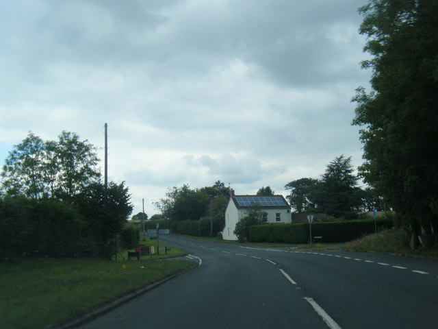
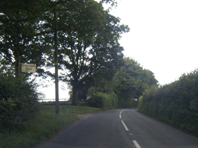
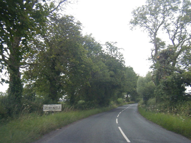
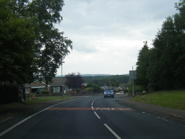
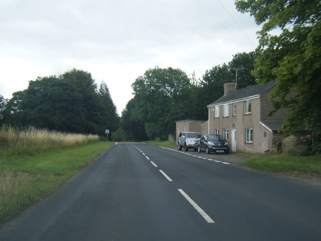
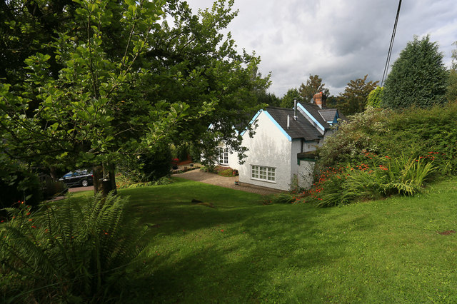
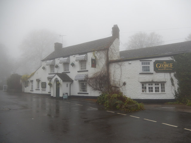
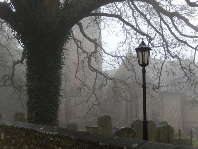
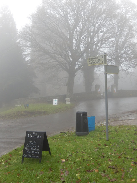
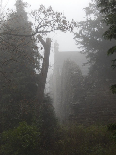
Cockshoot Hill Images

Images are sourced within 2km of 51.731053/-2.6446404 or Grid Reference SO5503. Thanks to Geograph Open Source API. All images are credited.

B4228 at Hewelsfield Cross
B4228 at Ghyll House Farm
B4228 at St Briavels village boundary
B4228 Barrowell Lane in St Briavels
B4228 north-east of St Briavels
St. Margaret's Cottage, St. Briavels Opposite a wood called St. Margaret's Grove is the appropriately named St. Margaret's cottage, a secluded holiday home in an area called "The Fence" just outside the village of St. Briavels. Offa's Dyke Path and the River Wye are within walking distance.
St. Margaret's Cottage, St. Briavels
Opposite a wood called St. Margaret's Grove is the appropriately named St. Margaret's cottage, a secluded holiday home in an area called "The Fence" just outside the village of St. Briavels. Offa's Dyke Path and the River Wye are within walking distance.
The George Inn, St Briavels Seen here on a day when the village was shrouded in fog, the George Inn dates from the 16th century and is now a Wadworth's pub. It offers bed and breakfast.
The George Inn, St Briavels
Seen here on a day when the village was shrouded in fog, the George Inn dates from the 16th century and is now a Wadworth's pub. It offers bed and breakfast.
St Briavels Church On a very gloomy morning, with the village shrouded in damp fog, the church of St Mary the Virgin is barely visible from Church Street.
St Briavels Church
On a very gloomy morning, with the village shrouded in damp fog, the church of St Mary the Virgin is barely visible from Church Street.
St Briavels The sign points down the hill to Bigsweir, the Wye Valley and Monmouth. In the background the tower of St Mary the Virgin's church is barely visible in the damp fog and in the foreground a sign advertises a village shop. Unsurprisingly in this weather the area seemed deserted.
St Briavels
The sign points down the hill to Bigsweir, the Wye Valley and Monmouth. In the background the tower of St Mary the Virgin's church is barely visible in the damp fog and in the foreground a sign advertises a village shop. Unsurprisingly in this weather the area seemed deserted.
St Briavels Castle St Briavels Castle was once a royal hunting lodge, used by King John, but is now a youth hostel. In these foggy conditions it looks suitably atmospheric.
St Briavels Castle
St Briavels Castle was once a royal hunting lodge, used by King John, but is now a youth hostel. In these foggy conditions it looks suitably atmospheric.
Maize stubble on Oakleaze Pitch Maize stubble on Oakleaze Pitch to the east of St Briavels.  The Sugar Loaf near Abergavenny, its shape unmistakable can be seen in the far distance to the left of centre.
Maize stubble on Oakleaze Pitch
Maize stubble on Oakleaze Pitch to the east of St Briavels. The Sugar Loaf near Abergavenny, its shape unmistakable can be seen in the far distance to the left of centre.
Oakleaze Pitch Maize stubble on Oakleaze Pitch to the east of St Briavels.
Oakleaze Pitch
Maize stubble on Oakleaze Pitch to the east of St Briavels.
Wheat field near Severn View Farm Wheat field near Severn View Farm to the east of St Briavels.
Wheat field near Severn View Farm
Wheat field near Severn View Farm to the east of St Briavels.
Farmland for sale A traditional land agent auctioneers sign advertising an auction of land near St Briavels.  The auction was dated 12 April, it's now August so presumably the land has been sold by now.
Farmland for sale
A traditional land agent auctioneers sign advertising an auction of land near St Briavels. The auction was dated 12 April, it's now August so presumably the land has been sold by now.
Road junction in St Briavels The junction of Bream Road with Barrowell Lane in St Briavels.
Road junction in St Briavels
The junction of Bream Road with Barrowell Lane in St Briavels.
Harpfield near St Briavels Harpfield to the south of the village of St Briavels.
Harpfield near St Briavels
Harpfield to the south of the village of St Briavels.
Bus shelter near St Briavels Bus shelter on the B4228 just south of St Briavels.
Bus shelter near St Briavels
Bus shelter on the B4228 just south of St Briavels.
Stubble field near Hewelsfield A stubble field after the crop of oilseed rape has been harvested.  A wind turbine near Severn View Farm can be seen in the distance.
Stubble field near Hewelsfield
A stubble field after the crop of oilseed rape has been harvested. A wind turbine near Severn View Farm can be seen in the distance.
Show me another place!

Cockshoot Hill is located at Grid Ref: SO5503 (Lat: 51.731053, Lng: -2.6446404)

Administrative County: Gloucestershire

District: Forest of Dean

Police Authority: Gloucestershire

What 3 Words

///wishes.speeded.mental. Near Tintern, Monmouthshire

Nearby Locations

Cockshoot Hill Coldharbour

Related Wikis

St Briavels

St Briavels (pronounced Brevels, once known as 'Ledenia Parva' (Little Lydney)), is a medium-sized village and civil parish in the Royal Forest of Dean...
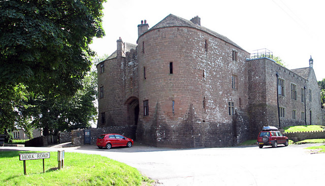
St Briavels Castle

St Briavels Castle is a moated Norman castle at St Briavels in the English county of Gloucestershire. The castle is noted for its huge Edwardian gatehouse...

Hewelsfield and Brockweir

Hewelsfield and Brockweir is a civil parish in Forest of Dean District, Gloucestershire. The parish was called Hewelsfield until 1994. It contains two...
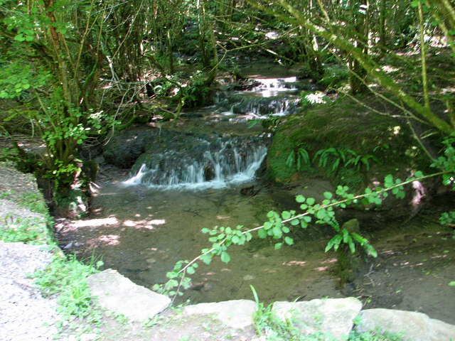
Slade Brook

Slade Brook (grid reference SO564055) is a 3.63-hectare (9.0-acre) biological and geological Site of Special Scientific Interest in Gloucestershire, notified...

Nearby Amenities

Located within 500m of 51.731053,-2.6446404
Coldharbour
Is In: Gloucestershire, UK
Place: hamlet
Lat/Long: 51.7295823/-2.6445257
Give Way
Direction: forward
Lat/Long: 51.7327289/-2.6406537
Bus Stop
Horsepool Ln
Naptan AtcoCode: 1600GLF603
Naptan Bearing: S
Naptan CommonName: Horsepool Ln
Naptan Indicator: Opp
Naptan NaptanCode: gloadjmg
Naptan Street: B4228
Naptan Verified: no
Source: naptan_import
Lat/Long: 51.7328373/-2.6405754
Bus Stop
Horsepool Ln
Naptan AtcoCode: 1600GLF604
Naptan Bearing: N
Naptan CommonName: Horsepool Ln
Naptan NaptanCode: gloadjma
Naptan Street: B4228
Naptan Verified: no
Source: naptan_import
Lat/Long: 51.7328006/-2.6407053
Bus Stop
Sandy Lane
Naptan AtcoCode: 1600GLF605
Naptan Bearing: W
Naptan CommonName: Sandy Lane
Naptan NaptanCode: gloadjad
Naptan Street: Coldharbour Rd
Naptan Verified: no
Source: naptan_import
Lat/Long: 51.7302778/-2.6465774
Sandy Lane
Naptan AtcoCode: 1600GLF606
Naptan Bearing: E
Naptan BusStopType: CUS
Naptan CommonName: Sandy Lane
Naptan Indicator: Opp
Naptan NaptanCode: gloadgwt
Naptan Street: Coldharbour Rd
Naptan Verified: no
Source: naptan_import
Lat/Long: 51.7303219/-2.6467373
Bus Stop
Hazeldene
Naptan AtcoCode: 1600GLF633
Naptan Bearing: S
Naptan CommonName: Hazeldene
Naptan Indicator: Opp
Naptan NaptanCode: gloadjam
Naptan Street: Chickadee
Naptan Verified: no
Source: naptan_import
Lat/Long: 51.7327515/-2.646381
Bus Stop
Hazeldene
Naptan AtcoCode: 1600GLF634
Naptan Bearing: N
Naptan CommonName: Hazeldene
Naptan NaptanCode: gloadjap
Naptan Street: Chickadee
Naptan Verified: no
Source: naptan_import
Lat/Long: 51.7329134/-2.6463833
Bus Stop
Petty Marsh
Naptan AtcoCode: 1600GLF739
Naptan Bearing: S
Naptan CommonName: Petty Marsh
Naptan Indicator: Opp
Naptan NaptanCode: gloadjmd
Naptan Street: B4228
Naptan Verified: no
Source: naptan_import
Lat/Long: 51.7301756/-2.6406102
Bus Stop
Petty Marsh
Naptan AtcoCode: 1600GLF740
Naptan Bearing: N
Naptan CommonName: Petty Marsh
Naptan NaptanCode: gloadjgw
Naptan Street: B4228
Naptan Verified: no
Source: naptan_import
Lat/Long: 51.730319/-2.6406991
Barrier: stile
Lat/Long: 51.7320772/-2.6439504
Give Way
Direction: forward
Lat/Long: 51.7302359/-2.6406918
The data included in this document is from www.openstreetmap.org. The data is made available under ODbL.

Have you been to Cockshoot Hill?

Leave your review of Cockshoot Hill below (or comments, questions and feedback).