Coldharbour

Settlement in Gloucestershire Forest of Dean

England

Coldharbour

B4228 at Hewelsfield Cross
B4228 at Hewelsfield Cross Credit: Colin Pyle

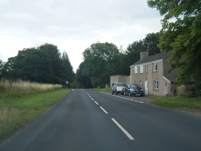
Coldharbour is a small village located in Gloucestershire, England. Situated approximately 5 miles northwest of the market town of Stroud, Coldharbour is nestled in the picturesque Cotswold Hills. The village is surrounded by rolling countryside, offering residents and visitors breathtaking views and a tranquil atmosphere.

The history of Coldharbour dates back centuries, with evidence of human habitation in the area since the Roman times. The village itself is characterized by traditional Cotswold stone buildings, giving it a charming and timeless appeal. It is primarily a residential area, with a close-knit community that takes pride in preserving its rural character.

Despite its small size, Coldharbour offers a range of amenities to its residents. These include a village hall, a local pub serving delicious food and beverages, and a primary school catering to the educational needs of the younger population. The village is also well-connected, with good transportation links to nearby towns and cities.

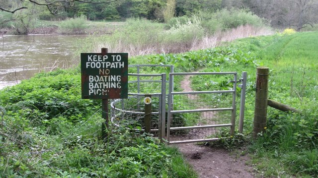
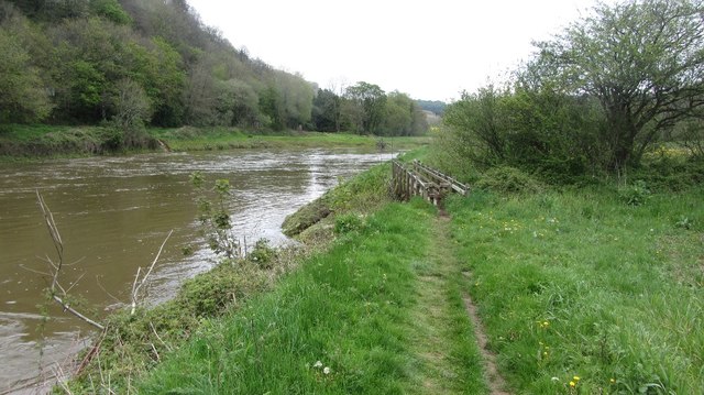
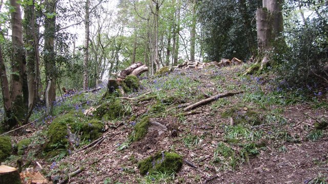
The surrounding countryside provides ample opportunities for outdoor activities such as hiking, cycling, and horse riding. Coldharbour is also within a short distance of several notable attractions, including the historic city of Gloucester, the market town of Cheltenham, and the picturesque Cotswold villages of Bourton-on-the-Water and Bibury.

In summary, Coldharbour, Gloucestershire is a charming village with a rich history and stunning natural beauty. Its idyllic location and close-knit community make it a desirable place to live or visit for those seeking a peaceful and picturesque English countryside experience.

If you have any feedback on the listing, please let us know in the comments section below.
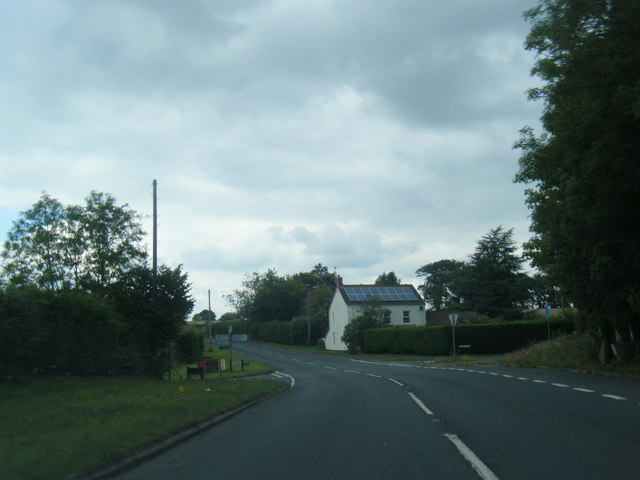
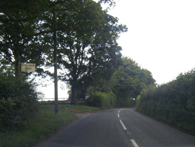
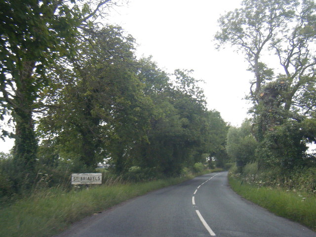
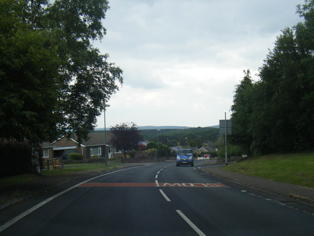
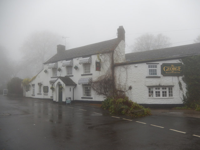
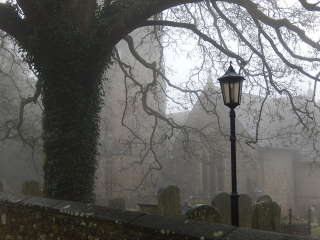
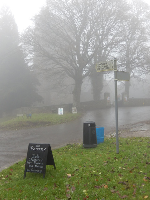
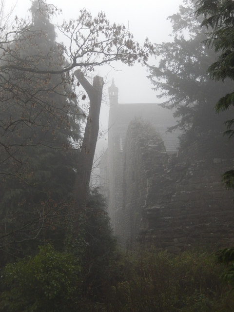
Coldharbour Images

Images are sourced within 2km of 51.728911/-2.650083 or Grid Reference SO5503. Thanks to Geograph Open Source API. All images are credited.

B4228 at Hewelsfield Cross
B4228 at Ghyll House Farm
B4228 at St Briavels village boundary
B4228 Barrowell Lane in St Briavels
B4228 north-east of St Briavels
No,no,no More everyday activities prohibited. Yet another of those horrid signs which litter the English countryside.

A reminder to us in Scotland that freedom requires eternal vigilance.
No,no,no
More everyday activities prohibited. Yet another of those horrid signs which litter the English countryside. A reminder to us in Scotland that freedom requires eternal vigilance.
River Wye below Bigsweir Bridge The footbridge crosses the Mork Brook.
River Wye below Bigsweir Bridge
The footbridge crosses the Mork Brook.
Clearing, Great Park Coniger At the start of the long climb out of the Wye Valley.
Clearing, Great Park Coniger
At the start of the long climb out of the Wye Valley.
The George Inn, St Briavels Seen here on a day when the village was shrouded in fog, the George Inn dates from the 16th century and is now a Wadworth's pub. It offers bed and breakfast.
The George Inn, St Briavels
Seen here on a day when the village was shrouded in fog, the George Inn dates from the 16th century and is now a Wadworth's pub. It offers bed and breakfast.
St Briavels Church On a very gloomy morning, with the village shrouded in damp fog, the church of St Mary the Virgin is barely visible from Church Street.
St Briavels Church
On a very gloomy morning, with the village shrouded in damp fog, the church of St Mary the Virgin is barely visible from Church Street.
St Briavels The sign points down the hill to Bigsweir, the Wye Valley and Monmouth. In the background the tower of St Mary the Virgin's church is barely visible in the damp fog and in the foreground a sign advertises a village shop. Unsurprisingly in this weather the area seemed deserted.
St Briavels
The sign points down the hill to Bigsweir, the Wye Valley and Monmouth. In the background the tower of St Mary the Virgin's church is barely visible in the damp fog and in the foreground a sign advertises a village shop. Unsurprisingly in this weather the area seemed deserted.
St Briavels Castle St Briavels Castle was once a royal hunting lodge, used by King John, but is now a youth hostel. In these foggy conditions it looks suitably atmospheric.
St Briavels Castle
St Briavels Castle was once a royal hunting lodge, used by King John, but is now a youth hostel. In these foggy conditions it looks suitably atmospheric.
Wheat field near Severn View Farm Wheat field near Severn View Farm to the east of St Briavels.
Wheat field near Severn View Farm
Wheat field near Severn View Farm to the east of St Briavels.
Farmland for sale A traditional land agent auctioneers sign advertising an auction of land near St Briavels.  The auction was dated 12 April, it's now August so presumably the land has been sold by now.
Farmland for sale
A traditional land agent auctioneers sign advertising an auction of land near St Briavels. The auction was dated 12 April, it's now August so presumably the land has been sold by now.
Road junction in St Briavels The junction of Bream Road with Barrowell Lane in St Briavels.
Road junction in St Briavels
The junction of Bream Road with Barrowell Lane in St Briavels.
Harpfield near St Briavels Harpfield to the south of the village of St Briavels.
Harpfield near St Briavels
Harpfield to the south of the village of St Briavels.
Bus shelter near St Briavels Bus shelter on the B4228 just south of St Briavels.
Bus shelter near St Briavels
Bus shelter on the B4228 just south of St Briavels.
Stubble field near Hewelsfield A stubble field after the crop of oilseed rape has been harvested.  A wind turbine near Severn View Farm can be seen in the distance.
Stubble field near Hewelsfield
A stubble field after the crop of oilseed rape has been harvested. A wind turbine near Severn View Farm can be seen in the distance.
Show me another place!

Coldharbour is located at Grid Ref: SO5503 (Lat: 51.728911, Lng: -2.650083)

Administrative County: Gloucestershire

District: Forest of Dean

Police Authority: Gloucestershire

What 3 Words

///stored.frail.project. Near Tintern, Monmouthshire

Nearby Locations

Coldharbour Cockshoot Hill

Related Wikis

St Briavels

St Briavels (pronounced Brevels, once known as 'Ledenia Parva' (Little Lydney)), is a medium-sized village and civil parish in the Royal Forest of Dean...
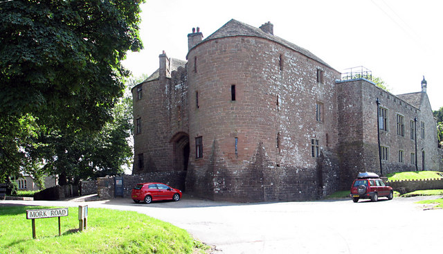
St Briavels Castle

St Briavels Castle is a moated Norman castle at St Briavels in the English county of Gloucestershire. The castle is noted for its huge Edwardian gatehouse...

Hewelsfield and Brockweir

Hewelsfield and Brockweir is a civil parish in Forest of Dean District, Gloucestershire. The parish was called Hewelsfield until 1994. It contains two...

The Hudnalls

The Hudnalls (SO533030 & SO540042 & SO545046 ) is a 94.4-hectare (233-acre) biological Site of Special Scientific Interest in Gloucestershire, notified...

Nearby Amenities

Located within 500m of 51.728911,-2.650083
Coldharbour
Is In: Gloucestershire, UK
Place: hamlet
Lat/Long: 51.7295823/-2.6445257
Bus Stop
Sandy Lane
Naptan AtcoCode: 1600GLF605
Naptan Bearing: W
Naptan CommonName: Sandy Lane
Naptan NaptanCode: gloadjad
Naptan Street: Coldharbour Rd
Naptan Verified: no
Source: naptan_import
Lat/Long: 51.7302778/-2.6465774
Sandy Lane
Naptan AtcoCode: 1600GLF606
Naptan Bearing: E
Naptan BusStopType: CUS
Naptan CommonName: Sandy Lane
Naptan Indicator: Opp
Naptan NaptanCode: gloadgwt
Naptan Street: Coldharbour Rd
Naptan Verified: no
Source: naptan_import
Lat/Long: 51.7303219/-2.6467373
Bus Stop
Hazeldene
Naptan AtcoCode: 1600GLF633
Naptan Bearing: S
Naptan CommonName: Hazeldene
Naptan Indicator: Opp
Naptan NaptanCode: gloadjam
Naptan Street: Chickadee
Naptan Verified: no
Source: naptan_import
Lat/Long: 51.7327515/-2.646381
Bus Stop
Rocks Bungalow
Naptan AtcoCode: 1600GLF636
Naptan Bearing: E
Naptan CommonName: Rocks Bungalow
Naptan NaptanCode: gloadgta
Naptan Street: Coldharbour
Naptan Verified: no
Source: naptan_import
Lat/Long: 51.7300941/-2.6521639
Ford: yes
Lat/Long: 51.7317012/-2.6536825
The data included in this document is from www.openstreetmap.org. The data is made available under ODbL.

Have you been to Coldharbour?

Leave your review of Coldharbour below (or comments, questions and feedback).