Blelack Hill
Hill, Mountain in Aberdeenshire
Scotland
Blelack Hill

Blelack Hill is a prominent hill located in Aberdeenshire, Scotland. Situated approximately 20 miles west of Aberdeen, it stands at an elevation of 468 meters (1,535 feet) above sea level. The hill is part of the larger range known as the Grampian Mountains, which span across the Scottish Highlands.
The summit of Blelack Hill offers breathtaking panoramic views of the surrounding countryside, including the River Dee valley to the east and the Cairngorms National Park to the west. It is a popular destination for hikers and outdoor enthusiasts who are drawn to its natural beauty and challenging trails.
The hill is covered in heather moorland and scattered with granite outcrops, giving it a rugged and wild appearance. It is also home to a variety of wildlife, including red grouse, mountain hares, and golden eagles, making it a haven for nature lovers and birdwatchers.
Blelack Hill is easily accessible by road, with a car park located at the base of the hill. From there, several trails lead to the summit, varying in difficulty and length. The hill is best visited during the summer months when the weather is more favorable, although caution should be exercised as conditions can change quickly.
Overall, Blelack Hill offers a fantastic opportunity to experience the beauty of the Scottish Highlands and enjoy a challenging hike with stunning views.
If you have any feedback on the listing, please let us know in the comments section below.
Blelack Hill Images
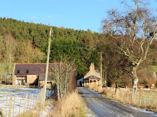
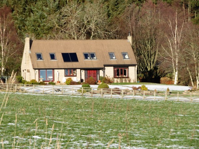
Images are sourced within 2km of 57.136867/-2.7356194 or Grid Reference NJ5505. Thanks to Geograph Open Source API. All images are credited.


Blelack Hill is located at Grid Ref: NJ5505 (Lat: 57.136867, Lng: -2.7356194)
Unitary Authority: Aberdeenshire
Police Authority: North East
What 3 Words
///thrillers.oiled.daunting. Near Aboyne, Aberdeenshire
Nearby Locations
Related Wikis

A980 road
The A980 road is a relatively short 20.6-mile (33.2 km) main road in north-east Scotland. The A980 connects the A944 road with the trunk A93 road. ��2...
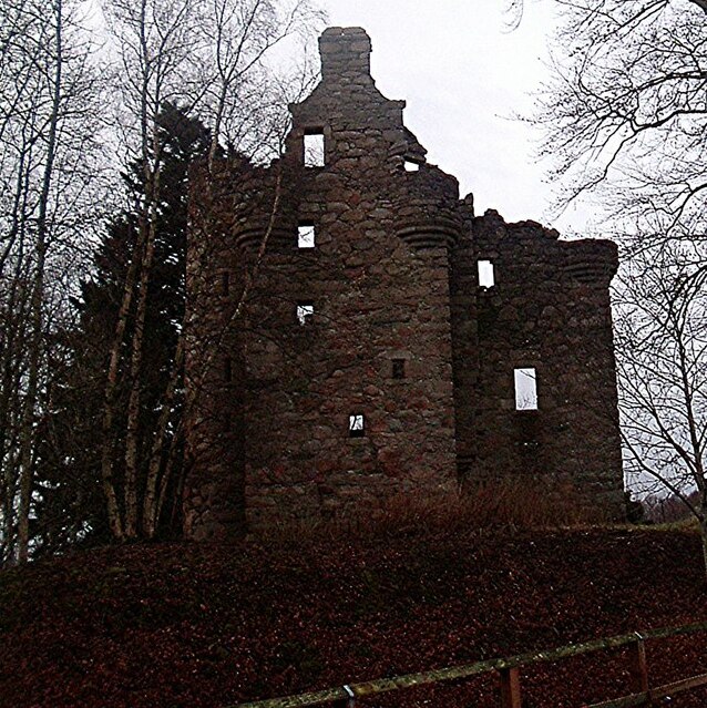
Corse Castle
Corse Castle near Lumphanan in Aberdeenshire, now ruined, was a fortress and centre of a landed estate in the north-east of Scotland. The present castle...

Peel of Lumphanan
The Peel of Lumphanan, also known as the Peel Ring or Peel Bog of Lumphanan, is a defensive structure dating back to the 13th century. It is located near...

Battle of Lumphanan
The Battle of Lumphanan was fought on 15 August 1057, between Macbeth, King of Scots, and the future King Malcolm III. Macbeth would die from wounds sustained...
Have you been to Blelack Hill?
Leave your review of Blelack Hill below (or comments, questions and feedback).