Hart Hill

Hill, Mountain in Gloucestershire Forest of Dean

England

Hart Hill

B4228 northbound near Cowshill Farm
B4228 northbound near Cowshill Farm Credit: Colin Pyle

Hart Hill is a prominent geographical feature located in Gloucestershire, England. Situated in the Cotswold Hills, it is a stunning hill that offers panoramic views of the surrounding countryside. Rising to an elevation of approximately 250 meters (820 feet), it is considered a significant landmark in the area.

The hill is characterized by its gentle slopes and lush green vegetation, making it a popular destination for hikers, nature enthusiasts, and photographers. Its strategic location offers breathtaking vistas of the rolling hills, picturesque villages, and meandering rivers that define the Gloucestershire landscape.

Hart Hill is home to a diverse range of flora and fauna, including a variety of wildflowers, birds, and small mammals. It provides a habitat for species such as rabbits, foxes, and various bird species, making it an ideal spot for wildlife observation.

A network of well-maintained footpaths and trails crisscrosses the hill, allowing visitors to explore and appreciate its natural beauty. The pathways are suitable for walkers of all abilities, and some are even wheelchair-accessible, ensuring that everyone can enjoy the hill's charm.

The hill also holds historical significance, as it is believed to have been a site of human settlement dating back to the Iron Age. Archaeological remains, including ancient burial mounds, have been discovered on its slopes, adding to its cultural and historical importance.

Overall, Hart Hill in Gloucestershire is a captivating destination that combines natural beauty, recreational opportunities, and a rich historical heritage. It is a place that truly showcases the diverse and enchanting aspects of the English countryside.

If you have any feedback on the listing, please let us know in the comments section below.
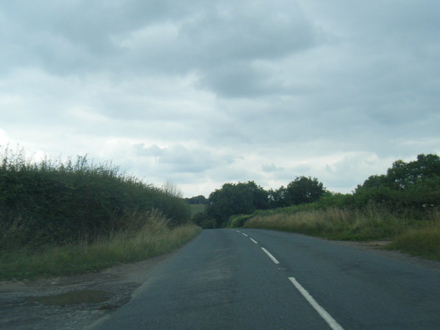
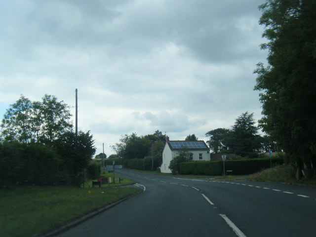
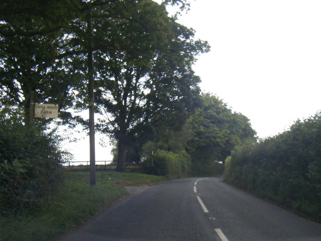
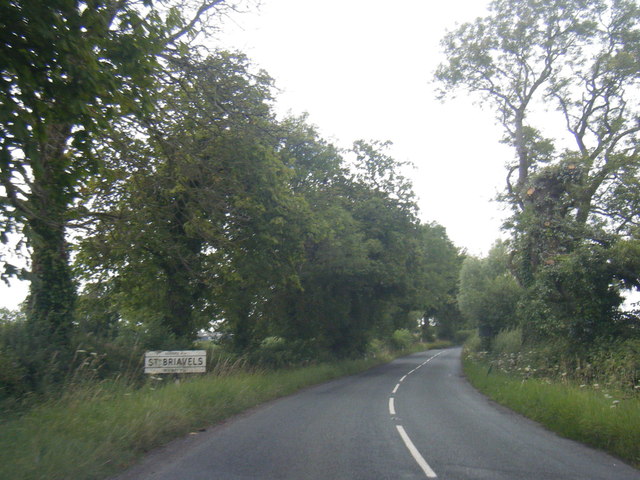
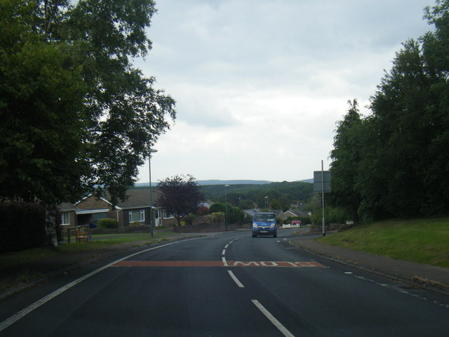
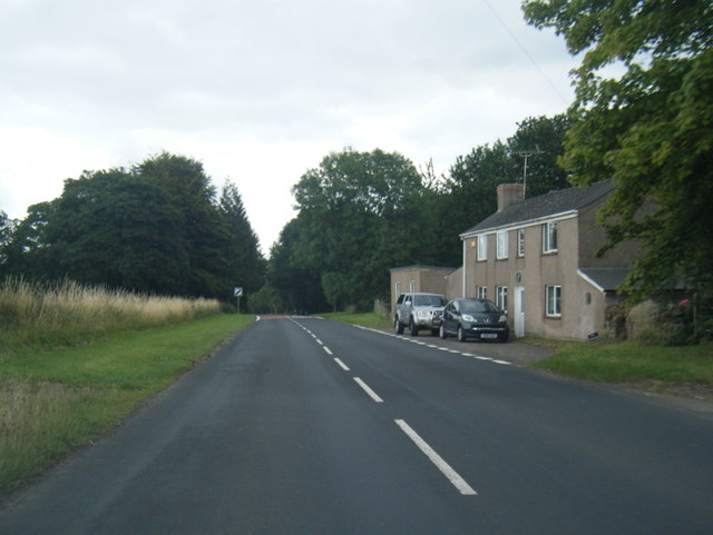
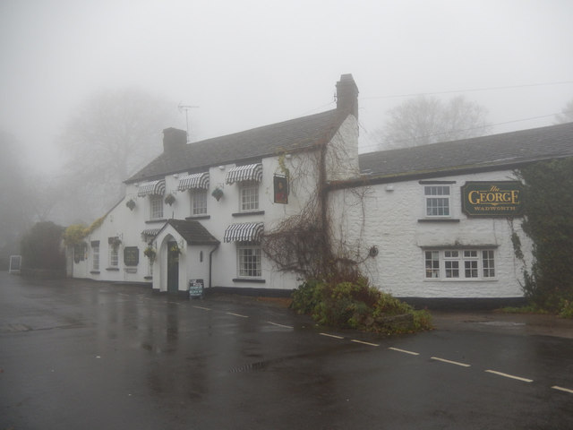
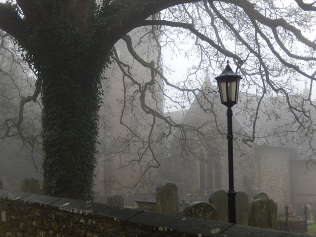
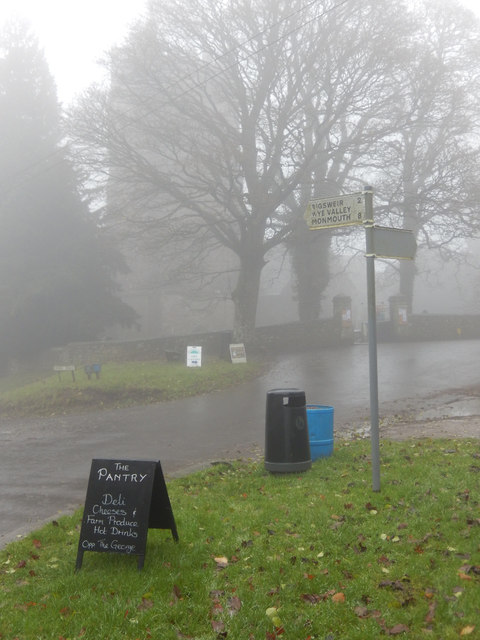
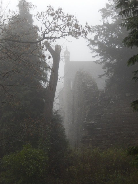
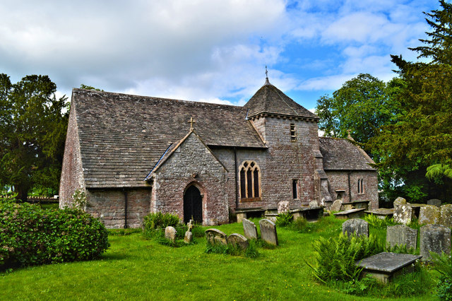
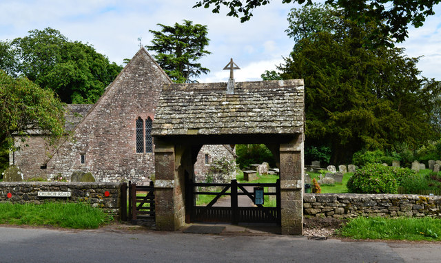
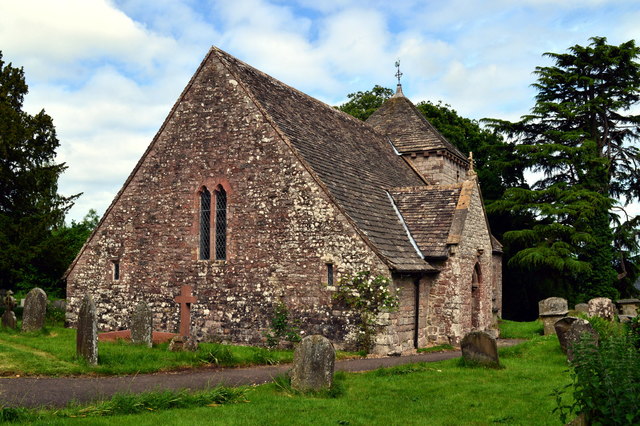
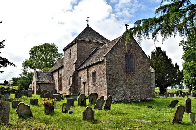
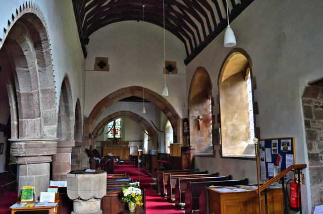
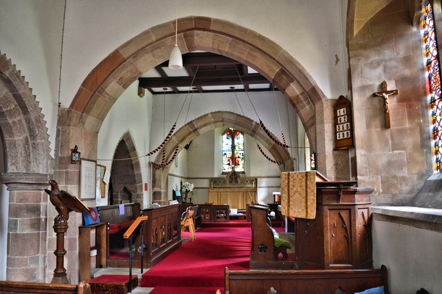
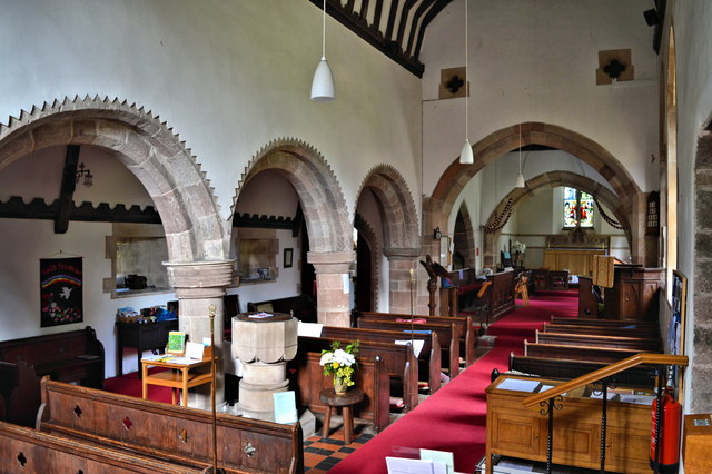
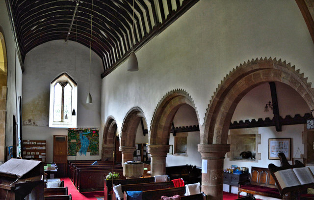
Hart Hill Images

Images are sourced within 2km of 51.723455/-2.6446626 or Grid Reference SO5502. Thanks to Geograph Open Source API. All images are credited.

B4228 northbound near Cowshill Farm
B4228 at Hewelsfield Cross
B4228 at Ghyll House Farm
B4228 at St Briavels village boundary
B4228 Barrowell Lane in St Briavels
B4228 north-east of St Briavels
The George Inn, St Briavels Seen here on a day when the village was shrouded in fog, the George Inn dates from the 16th century and is now a Wadworth's pub. It offers bed and breakfast.
The George Inn, St Briavels
Seen here on a day when the village was shrouded in fog, the George Inn dates from the 16th century and is now a Wadworth's pub. It offers bed and breakfast.
St Briavels Church On a very gloomy morning, with the village shrouded in damp fog, the church of St Mary the Virgin is barely visible from Church Street.
St Briavels Church
On a very gloomy morning, with the village shrouded in damp fog, the church of St Mary the Virgin is barely visible from Church Street.
St Briavels The sign points down the hill to Bigsweir, the Wye Valley and Monmouth. In the background the tower of St Mary the Virgin's church is barely visible in the damp fog and in the foreground a sign advertises a village shop. Unsurprisingly in this weather the area seemed deserted.
St Briavels
The sign points down the hill to Bigsweir, the Wye Valley and Monmouth. In the background the tower of St Mary the Virgin's church is barely visible in the damp fog and in the foreground a sign advertises a village shop. Unsurprisingly in this weather the area seemed deserted.
St Briavels Castle St Briavels Castle was once a royal hunting lodge, used by King John, but is now a youth hostel. In these foggy conditions it looks suitably atmospheric.
St Briavels Castle
St Briavels Castle was once a royal hunting lodge, used by King John, but is now a youth hostel. In these foggy conditions it looks suitably atmospheric.
St Mary Magdalene, Hewelsfield Set in a circular churchyard containing some venerable yews, one of which was 350 years old at the Conquest, St Mary Magdalene dates from the late 12th century in its present form. It was restored by William Butterfield 1863-7, who showed considerable restraint and sensitivity. All of the main roofs and furnishings are by him and the whole place is a delight for admirers of his work.
St Mary Magdalene, Hewelsfield
Set in a circular churchyard containing some venerable yews, one of which was 350 years old at the Conquest, St Mary Magdalene dates from the late 12th century in its present form. It was restored by William Butterfield 1863-7, who showed considerable restraint and sensitivity. All of the main roofs and furnishings are by him and the whole place is a delight for admirers of his work.
St Mary Magdalene, Hewelsfield The lychgate is the work of William Butterfield, who restored the church between 1863 and 1867.
St Mary Magdalene, Hewelsfield
The lychgate is the work of William Butterfield, who restored the church between 1863 and 1867.
St Mary Magdalene, Hewelsfield A delightful village church in a sublime setting. The circular churchyard suggests an ancient site - the veteran yew trees in it confirm it. The church was sensitively restored by William Butterfield in 1863-7 and contains fine examples of his work.
St Mary Magdalene, Hewelsfield
A delightful village church in a sublime setting. The circular churchyard suggests an ancient site - the veteran yew trees in it confirm it. The church was sensitively restored by William Butterfield in 1863-7 and contains fine examples of his work.
St Mary Magdalene, Hewelsfield The interior looking East, showing the 12th century origins. Much of the present appearance is due to the work of William Butterfield in 1863-7.
St Mary Magdalene, Hewelsfield
The interior looking East, showing the 12th century origins. Much of the present appearance is due to the work of William Butterfield in 1863-7.
St Mary Magdalene, Hewelsfield Looking East.
St Mary Magdalene, Hewelsfield
Looking East.
St Mary Magdalene, Hewelsfield The interior looking East, showing with the nave arcade the 12th century origins. The William Butterfield restoration of 1863-7 was sensitive. The current furnishings are all Butterfield's work.
St Mary Magdalene, Hewelsfield
The interior looking East, showing with the nave arcade the 12th century origins. The William Butterfield restoration of 1863-7 was sensitive. The current furnishings are all Butterfield's work.
St Mary Magdalene, Hewelsfield The nave, showing the Transitional arcade and the roof, the work of William Butterfield, 1863-70.
St Mary Magdalene, Hewelsfield
The nave, showing the Transitional arcade and the roof, the work of William Butterfield, 1863-70.
Show me another place!

Hart Hill is located at Grid Ref: SO5502 (Lat: 51.723455, Lng: -2.6446626)

Administrative County: Gloucestershire

District: Forest of Dean

Police Authority: Gloucestershire

What 3 Words

///lightens.dean.resorting. Near Tintern, Monmouthshire

Related Wikis

Hewelsfield and Brockweir

Hewelsfield and Brockweir is a civil parish in Forest of Dean District, Gloucestershire. The parish was called Hewelsfield until 1994. It contains two...

Hewelsfield Motte

The Hewelsfield Motte is a roughly circular mound, in Hewelsfield, Gloucestershire, England. It is thought to be a castle motte dating from the period...

Hewelsfield

Hewelsfield is a village in Hewelsfield and Brockweir civil parish, in the Forest of Dean district of Gloucestershire, England. The village is located...

St Briavels

St Briavels (pronounced Brevels, once known as 'Ledenia Parva' (Little Lydney)), is a medium-sized village and civil parish in the Royal Forest of Dean...

Nearby Amenities

Located within 500m of 51.723455,-2.6446626
Hart Hill
Ele: 246
Natural: peak
Source: NPE
Lat/Long: 51.7231804/-2.6449047
The data included in this document is from www.openstreetmap.org. The data is made available under ODbL.

Have you been to Hart Hill?

Leave your review of Hart Hill below (or comments, questions and feedback).