Tithe Barn Hillock
Hill, Mountain in Lancashire
England
Tithe Barn Hillock
Tithe Barn Hillock is a prominent hill located in the county of Lancashire in northwest England. Situated near the town of Clitheroe, it is part of the Ribble Valley and is known for its picturesque landscape and historical significance.
Rising to an elevation of approximately 200 meters (656 feet), Tithe Barn Hillock offers breathtaking panoramic views of the surrounding countryside. Its summit is adorned with lush greenery, with patches of heather and wildflowers adding vibrant colors to the landscape. The hill is primarily composed of gritstone, reflecting the geological heritage of the region.
The name "Tithe Barn Hillock" is derived from a historical reference to a tithe barn that once stood on the hill. Tithes were a form of taxation during medieval times, where a portion of agricultural produce was given to the church. The barn would have been used to store and distribute these tithes.
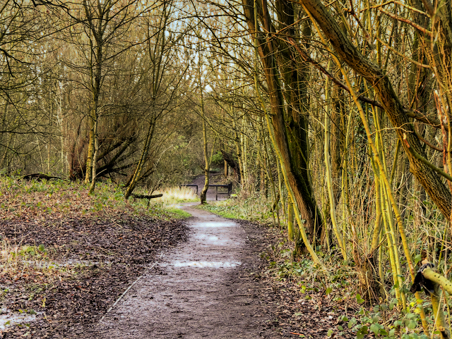
Today, Tithe Barn Hillock serves as a popular destination for hikers, walkers, and nature enthusiasts. Its well-maintained footpaths and trails make it accessible to visitors of all abilities. The hill's location within the Forest of Bowland Area of Outstanding Natural Beauty further enhances its appeal.
Visitors to Tithe Barn Hillock can enjoy a tranquil and peaceful environment, escaping the hustle and bustle of urban life. The hill offers a haven for wildlife, with various species of birds, mammals, and insects calling it home. Nature lovers can spot red grouse, hares, and even the occasional red deer in the area.
In summary, Tithe Barn Hillock is a stunning hill in Lancashire that offers breathtaking views, historical significance, and a haven for nature enthusiasts.
If you have any feedback on the listing, please let us know in the comments section below.
Tithe Barn Hillock Images
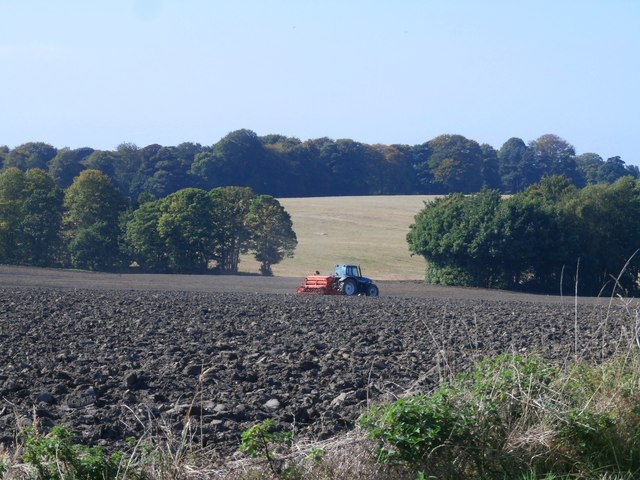
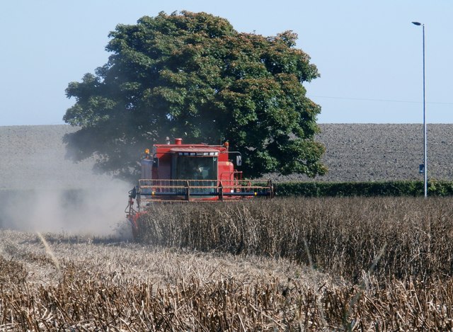
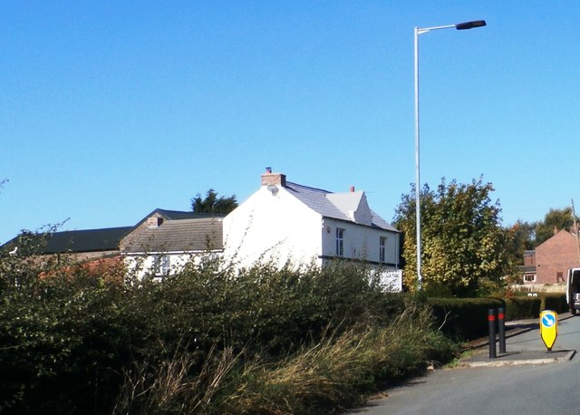
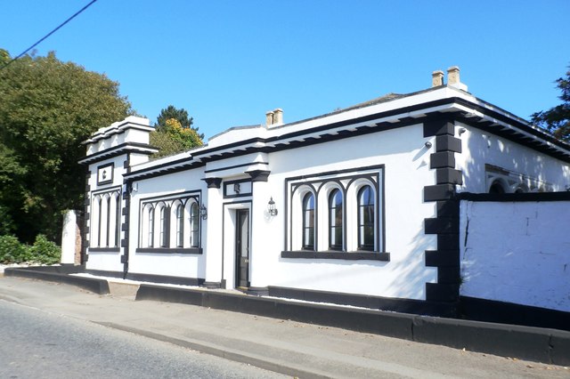
Images are sourced within 2km of 53.485912/-2.6720933 or Grid Reference SJ5599. Thanks to Geograph Open Source API. All images are credited.


Tithe Barn Hillock is located at Grid Ref: SJ5599 (Lat: 53.485912, Lng: -2.6720933)
Unitary Authority: St. Helens
Police Authority: Merseyside
What 3 Words
///seat.loses.office. Near Ashton in Makerfield, Manchester
Nearby Locations
Related Wikis

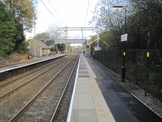
Garswood railway station
Garswood railway station serves the village of Garswood in the Metropolitan Borough of St Helens, Merseyside, England. It is situated on the electrified...
Garswood
Garswood is a village in the Metropolitan Borough of St. Helens, Merseyside, England. The village is within the civil parish of Seneley Green. The parish...

Garswood United A.F.C.
Garswood United Association Football Club is an English football club based in Garswood, near St Helens, in the ceremonial county of Merseyside and traditional...

Bryn, Greater Manchester
Bryn is a suburb of Ashton-in-Makerfield in the Metropolitan Borough of Wigan in Greater Manchester, England. The population of the suburb at the 2011...
Nearby Amenities
Located within 500m of 53.485912,-2.6720933Have you been to Tithe Barn Hillock?
Leave your review of Tithe Barn Hillock below (or comments, questions and feedback).