Seneley Green
Civil Parish in Lancashire St. Helens
England
Seneley Green
Seneley Green is a civil parish located in the county of Lancashire, England. It is situated in the metropolitan borough of St Helens and lies approximately 2.5 miles east of the town center. The parish covers a total area of about 2.5 square miles and is home to a population of around 3,000 residents.
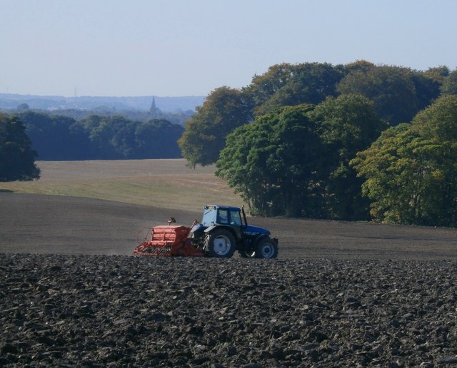
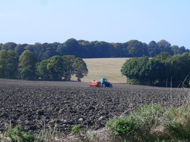
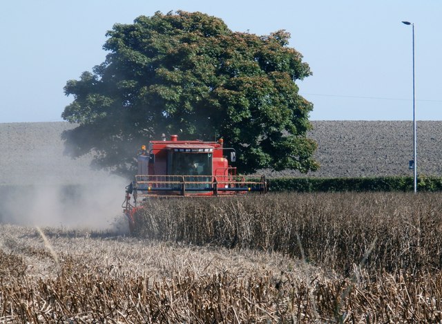
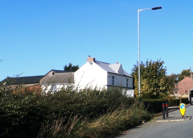
The area is primarily residential, with a mix of housing types including detached and semi-detached houses, as well as a few apartment complexes. Seneley Green is known for its peaceful and scenic surroundings, with fields and farmland surrounding the village.
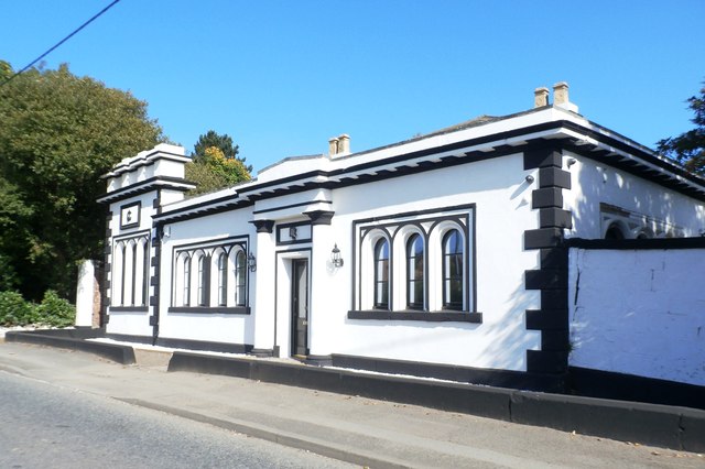
There are a few amenities within the parish, including a local convenience store and a post office. The nearest primary school is within walking distance, providing education for children aged 4 to 11. For secondary education, students typically attend schools in neighboring towns.
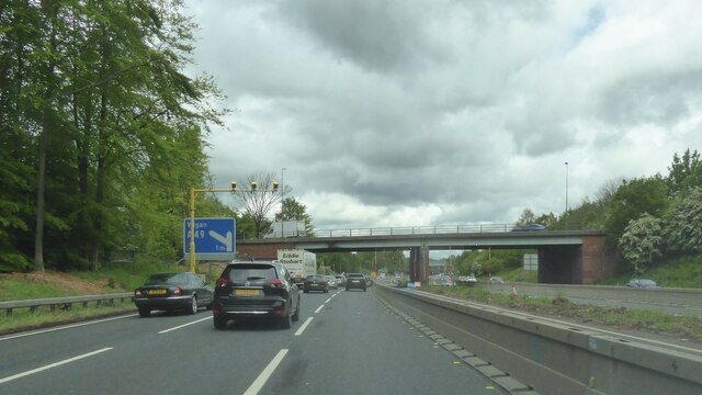
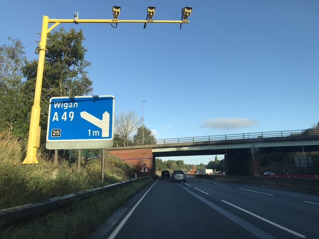
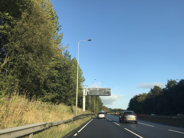
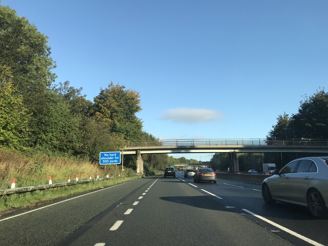
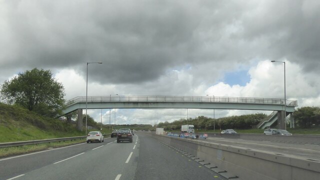
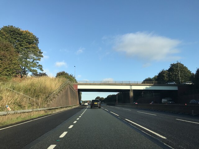
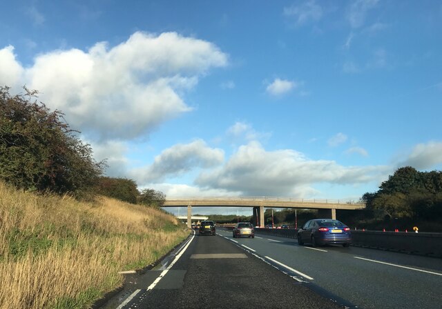
Seneley Green is well-connected to nearby areas through a network of roads, including the A580 East Lancashire Road, which provides easy access to Liverpool and Manchester. Public transportation options include regular bus services that connect the village to surrounding towns and cities.
In terms of recreational activities, the parish is surrounded by green spaces and countryside, making it ideal for outdoor pursuits such as walking, cycling, and picnicking. The nearby St Helens town center offers a range of amenities and leisure facilities, including shopping centers, restaurants, and entertainment venues.
Overall, Seneley Green offers a peaceful and rural lifestyle within close proximity to larger towns and cities, making it an attractive place to live for those seeking a balance between tranquility and urban amenities.
If you have any feedback on the listing, please let us know in the comments section below.
Seneley Green Images
Images are sourced within 2km of 53.49289/-2.675208 or Grid Reference SJ5599. Thanks to Geograph Open Source API. All images are credited.


Seneley Green is located at Grid Ref: SJ5599 (Lat: 53.49289, Lng: -2.675208)
Administrative County: Merseyside
District: St. Helens
Police Authority: Merseyside
What 3 Words
///cover.desk.early. Near Ashton in Makerfield, Manchester
Nearby Locations
Related Wikis

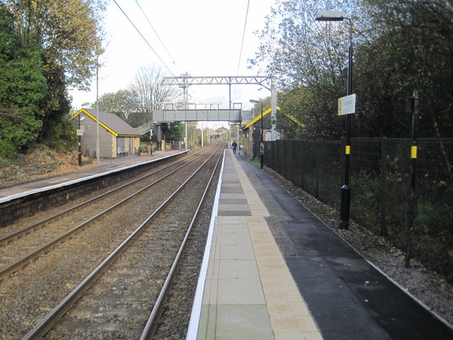
Garswood railway station
Garswood railway station serves the village of Garswood in the Metropolitan Borough of St Helens, Merseyside, England. It is situated on the electrified...
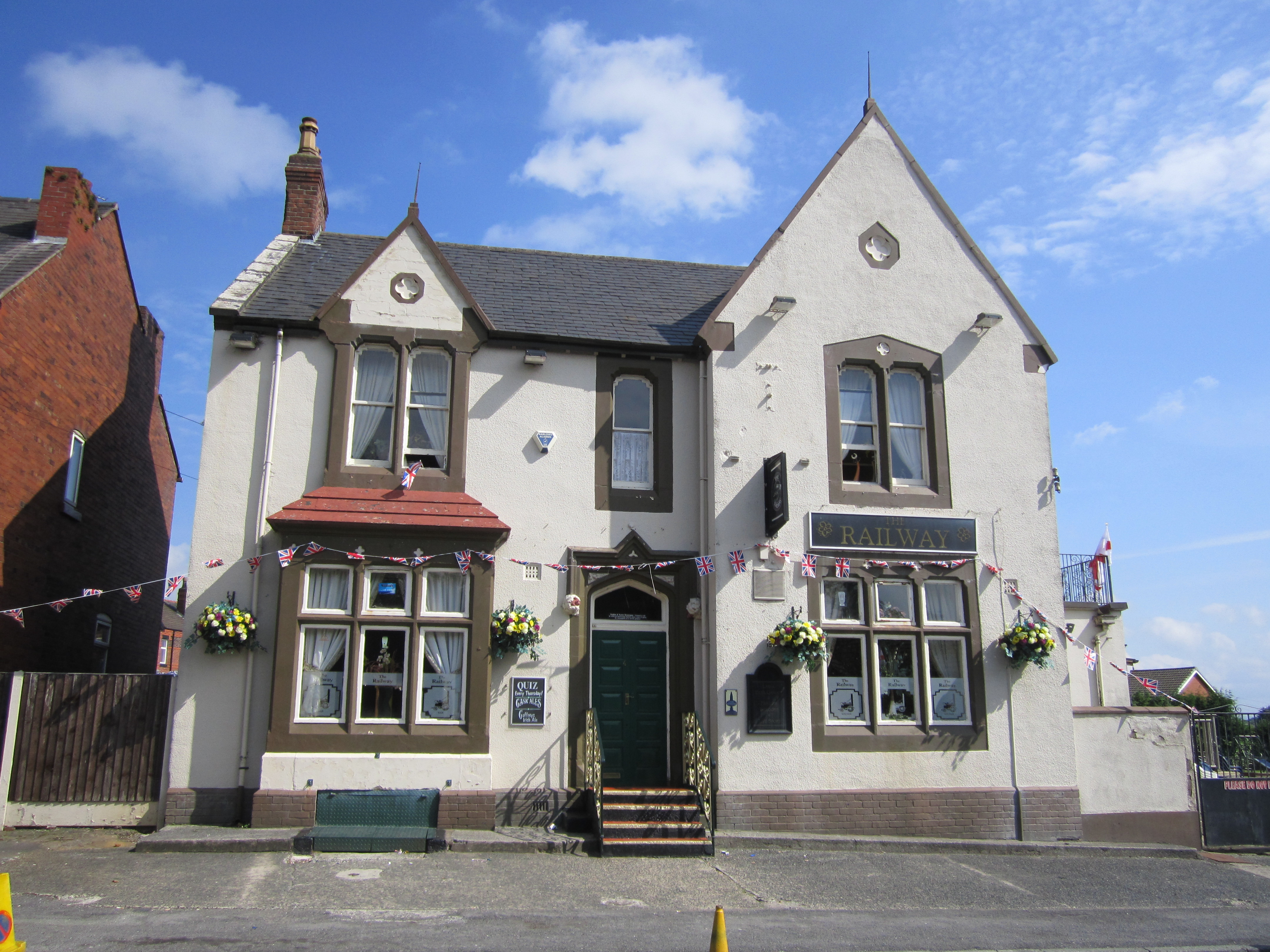
Garswood
Garswood is a village in the Metropolitan Borough of St. Helens, Merseyside, England. The village is within the civil parish of Seneley Green. The parish...

Garswood United A.F.C.
Garswood United Association Football Club is an English football club based in Garswood, near St Helens, in the ceremonial county of Merseyside and traditional...

Bryn, Greater Manchester
Bryn is a suburb of Ashton-in-Makerfield in the Metropolitan Borough of Wigan in Greater Manchester, England. The population of the suburb at the 2011...
Nearby Amenities
Located within 500m of 53.49289,-2.675208Have you been to Seneley Green?
Leave your review of Seneley Green below (or comments, questions and feedback).