Barbreack

Settlement in Argyllshire

Scotland

Barbreack

Part of Auchoshin deserted settlement Deserted settlement at Salean na h'Airde
Part of Auchoshin deserted settlement Credit: Dutyhog

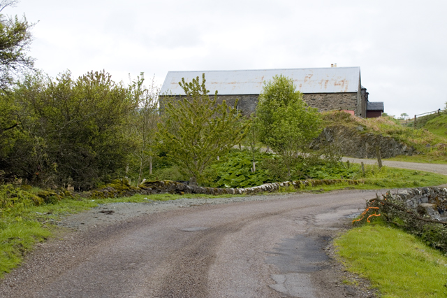
Barbreack is a small village located in Argyllshire, a historic county in western Scotland. Situated amidst the picturesque landscapes of the Scottish Highlands, this quaint settlement offers a tranquil and idyllic retreat for visitors seeking an escape from the hustle and bustle of city life.

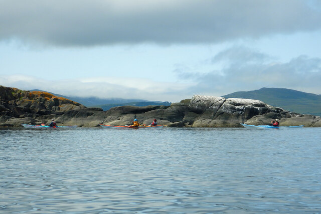
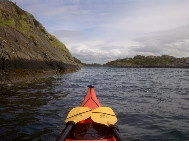
The village is nestled along the banks of the River Arbreck, which meanders through the surrounding lush countryside, providing a stunning backdrop for outdoor enthusiasts. The area is renowned for its rugged beauty, with rolling hills, dense forests, and cascading waterfalls that attract hikers, nature lovers, and photographers.

Barbreack itself is a tight-knit community, with a population of approximately 200 residents. The village features a charming mix of traditional Scottish architecture, including stone cottages and historic buildings, which lend it an air of authenticity and heritage.

While Barbreack may be small in size, it boasts a strong sense of community spirit and offers essential amenities to its residents. A local grocery store, a post office, and a pub serve as gathering points for both locals and visitors, fostering a warm and welcoming atmosphere.

For those interested in history, the nearby ruins of an ancient castle provide a glimpse into the area's rich past. Additionally, the surrounding countryside offers ample opportunities for outdoor activities such as fishing, hiking, and wildlife spotting.

Overall, Barbreack offers a serene and charming escape for those seeking a peaceful retreat amidst Scotland's natural beauty.

If you have any feedback on the listing, please let us know in the comments section below.

Barbreack Images

Images are sourced within 2km of 56.003092/-5.6744726 or Grid Reference NR7185. Thanks to Geograph Open Source API. All images are credited.

Part of Auchoshin deserted settlement Deserted settlement at Salean na h'Airde
Part of Auchoshin deserted settlement
Deserted settlement at Salean na h'Airde
Part of Auchoshin deserted settlement Deserted settlement at Salean na h'Airde
Part of Auchoshin deserted settlement
Deserted settlement at Salean na h'Airde
Bridge and road near Barrhormid
Landscape view of Sailean na h'-Aide Tricky navigation to anchor in this beautiful isolated bay on East coast of Sound of Jura, about 3 knots south of Carsaig Bay.

There is a colony of seals on the southerly point of the bay which get extremely noisy at night. 

Dolphins seen  in sound of Jura to the West.
Landscape view of Sailean na h'-Aide
Tricky navigation to anchor in this beautiful isolated bay on East coast of Sound of Jura, about 3 knots south of Carsaig Bay. There is a colony of seals on the southerly point of the bay which get extremely noisy at night. Dolphins seen in sound of Jura to the West.
Port an Sgadain Rocky inlet near derelict hamlet of North Ardbeg, with Island of Jura in background.
Port an Sgadain
Rocky inlet near derelict hamlet of North Ardbeg, with Island of Jura in background.
North Ardbeg Part of a derelict hamlet of about 4 buildings
North Ardbeg
Part of a derelict hamlet of about 4 buildings
Dun Mhuirich An ancient fort by the side of the loch.
Dun Mhuirich
An ancient fort by the side of the loch.
The northern tip of Eilean nan Coinean The group is paddling from Crinan down the Sound of Jura towards a camp on Danna, and because visibility earlier in the day was very poor, we've got into the habit of sticking quite close inshore. This has led us to the channel between Eilean nan Coinean and Eilean Fraoich. That's all very fine and scenic, but we were using the ebb tide to assist us on our southward journey and it soon became clear that staying inside the island has put us in an eddy with the tidal flow against us. Out there in the Sound, nearer to Jura (now just peeking out from its earlier cloud cap) we'd have made much faster progress.
The northern tip of Eilean nan Coinean
The group is paddling from Crinan down the Sound of Jura towards a camp on Danna, and because visibility earlier in the day was very poor, we've got into the habit of sticking quite close inshore. This has led us to the channel between Eilean nan Coinean and Eilean Fraoich. That's all very fine and scenic, but we were using the ebb tide to assist us on our southward journey and it soon became clear that staying inside the island has put us in an eddy with the tidal flow against us. Out there in the Sound, nearer to Jura (now just peeking out from its earlier cloud cap) we'd have made much faster progress.
Rocky outcrop on the SE shore of Eilean nan Coinean Stopping for a photograph in the channel between Eilean nan Coinean and Eilean Fraoich, it quickly became apparent by my drift back the way I'd come, that we were out of the main ebb tide which was meant to be making life easy by assisting us in our southward journey, and into an eddy which was making paddling gratuitously more effort than if we'd gone down the exposed side of the island out in the main Sound of Jura. It's not as if we needed to be close inshore as we felt necessary earlier in the day when the visibility was poor and threatening to get worse - now the sun has come out and we could be a bit bolder !
Rocky outcrop on the SE shore of Eilean nan Coinean
Stopping for a photograph in the channel between Eilean nan Coinean and Eilean Fraoich, it quickly became apparent by my drift back the way I'd come, that we were out of the main ebb tide which was meant to be making life easy by assisting us in our southward journey, and into an eddy which was making paddling gratuitously more effort than if we'd gone down the exposed side of the island out in the main Sound of Jura. It's not as if we needed to be close inshore as we felt necessary earlier in the day when the visibility was poor and threatening to get worse - now the sun has come out and we could be a bit bolder !
The northern end of Leth Sgeir This is the second Leth Sgeir we've passed within a couple of hours, the first being the other side of Carsaig Bay <a href="https://www.geograph.org.uk/photo/7009802">NR7389 : Carsaig Island and a weedy skerry by Leth Sgeir</a>, but this one is in a square no part of which is accessible without a boat. The rocks have been very well worn down by the big glacier that came down the Sound of Jura, but has left barely sufficient to remain above sea level after the end of the ice age raised sea levels, but isostatic rebound brought the land upwards somewhat - just enough !
The northern end of Leth Sgeir
This is the second Leth Sgeir we've passed within a couple of hours, the first being the other side of Carsaig Bay NR7389 : Carsaig Island and a weedy skerry by Leth Sgeir, but this one is in a square no part of which is accessible without a boat. The rocks have been very well worn down by the big glacier that came down the Sound of Jura, but has left barely sufficient to remain above sea level after the end of the ice age raised sea levels, but isostatic rebound brought the land upwards somewhat - just enough !
Channel between Eilean nan Coinean and Eilean Fraoich Looking North east through the channel between Eilean nan Coinean and Eilean Fraoich with the rock face on the south east point of Eilean nan Coinean in the foreground.
Channel between Eilean nan Coinean and Eilean Fraoich
Looking North east through the channel between Eilean nan Coinean and Eilean Fraoich with the rock face on the south east point of Eilean nan Coinean in the foreground.
Old Milestone by the B8025, south of Barrahormid, North Knapdale Parish By the B8025, in parish of North Knapdale (Argyll & Bute District), South of Barrahormid, in front of stone wall.

Inscription once read:
(Lochgilphead)
(14)

Surveyed

Milestone Society National ID: AB_LGKM14.
Old Milestone by the B8025, south of Barrahormid, North Knapdale Parish
By the B8025, in parish of North Knapdale (Argyll & Bute District), South of Barrahormid, in front of stone wall. Inscription once read: (Lochgilphead) (14) Surveyed Milestone Society National ID: AB_LGKM14.
Wet pasture, Barrahormid Knapdale, south of Tayvallich.
Wet pasture, Barrahormid
Knapdale, south of Tayvallich.
B8025, Barrahormid
B8025, Barrahormid
Track to Druimnagall Wind sculpted trees in an exposed place south of Tayvallich.
Track to Druimnagall
Wind sculpted trees in an exposed place south of Tayvallich.
Wetland, Tayvullin Beside Linne Mhuirich, the inlet to the west of Taynish.
Wetland, Tayvullin
Beside Linne Mhuirich, the inlet to the west of Taynish.
B8025, Tayvullin
B8025, Tayvullin
Rough pastureland on Barr Thormaid
Show me another place!

Barbreack is located at Grid Ref: NR7185 (Lat: 56.003092, Lng: -5.6744726)

Unitary Authority: Argyll and Bute

Police Authority: Argyll and West Dunbartonshire

What 3 Words

///quibble.asserts.regal. Near Ardrishaig, Argyll & Bute

Related Wikis

Taynish National Nature Reserve

Taynish National Nature Reserve (Scottish Gaelic: Tèarmann Nàdair Nàiseanta Taighnis) is situated southwest of the village of Tayvallich in the council...

Loch Sween

Loch Sween (Scottish Gaelic: Loch Suain or Loch Suibhne) is a sea loch located near Lochgilphead, Argyll and Bute, Scotland. Castle Sween is located on...

Tayvallich

Tayvallich (pronounced TAY-vee-AL-ich; Scottish Gaelic: Taigh a' Bhealaich [t̪ʰɤj ə ˈvjal̪ˠɪç]) is a small village in the Knapdale area of Argyll and Bute...

Eilean Loain

Eilean Loain is a small island in Loch Sween and one of the Inner Hebrides of Scotland. It is about 2 kilometres (1 mi) west of the settlement of Kilmichael...

Nearby Amenities

Located within 500m of 56.003092,-5.6744726
Port Bealach nan Gall
Natural: bay
Lat/Long: 56.005436/-5.671134
The data included in this document is from www.openstreetmap.org. The data is made available under ODbL.

Have you been to Barbreack?

Leave your review of Barbreack below (or comments, questions and feedback).