Barbourne

Settlement in Worcestershire Worcester

England

Barbourne

River Severn at Worcester Narrowboats moored up at the National Waterways Festival in Worcester in 1999.
River Severn at Worcester Credit: David Stowell

The requested URL returned error: 429 Too Many Requests

If you have any feedback on the listing, please let us know in the comments section below.
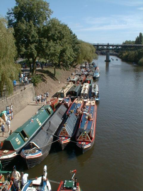
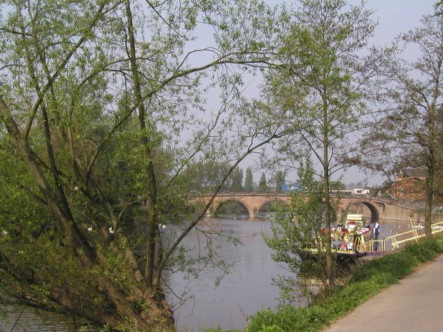
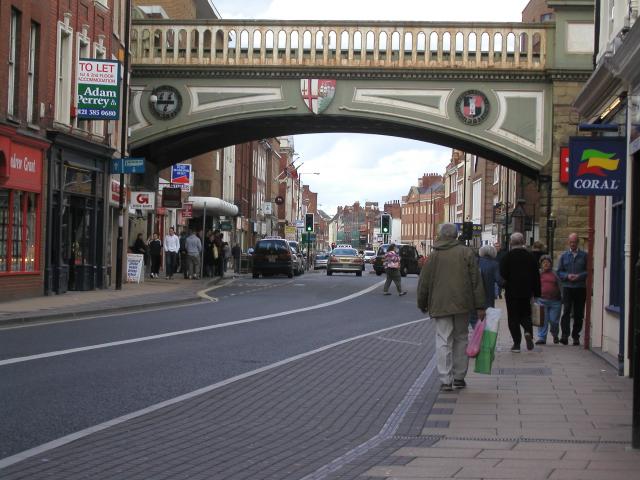
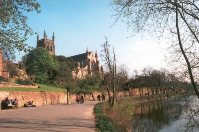
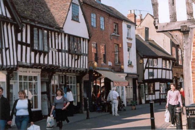
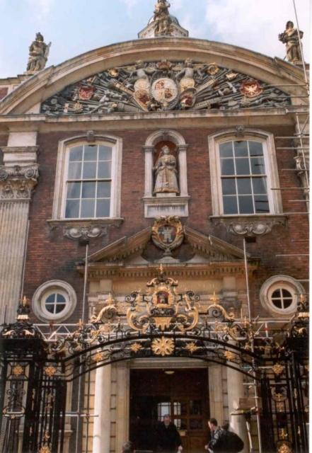
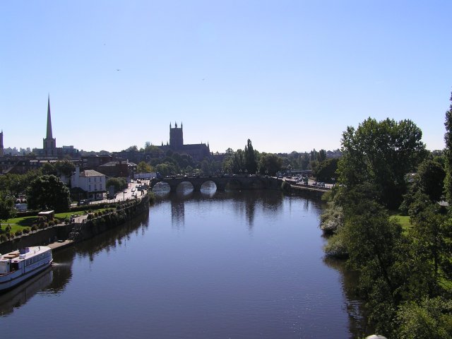
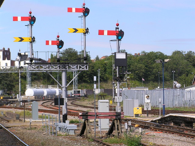
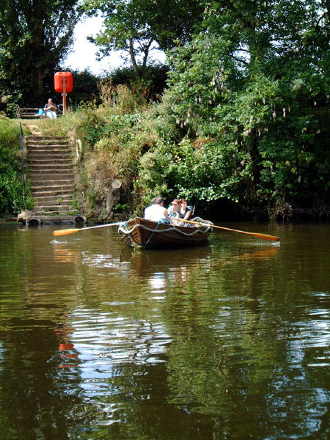
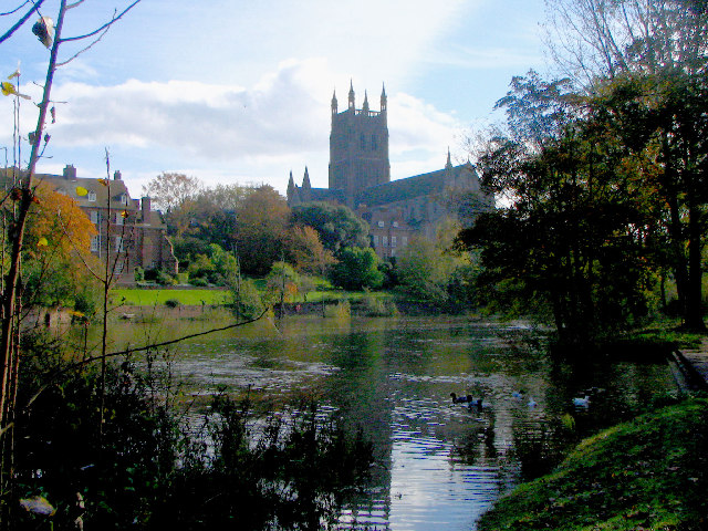
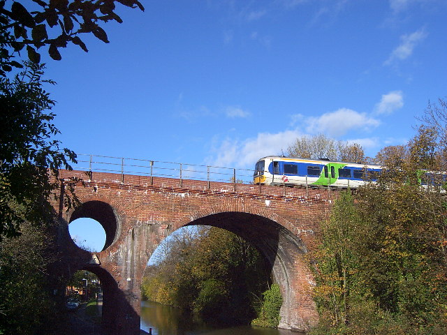
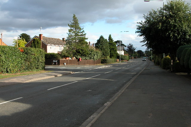
Barbourne Images

Images are sourced within 2km of 52.206022/-2.22679 or Grid Reference SO8456. Thanks to Geograph Open Source API. All images are credited.

River Severn at Worcester Narrowboats moored up at the National Waterways Festival in Worcester in 1999.
River Severn at Worcester
Narrowboats moored up at the National Waterways Festival in Worcester in 1999.
River Severn at Worcester Photo taken while standing next to the cathedral.
River Severn at Worcester
Photo taken while standing next to the cathedral.
Foregate Street railway bridge Looking towards The Tything
Foregate Street railway bridge
Looking towards The Tything
Worcester Cathedral From the river walkway
Worcester Cathedral
From the river walkway
Friar Street, Worcester Medieval street front.
Friar Street, Worcester
Medieval street front.
Worcester Guildhall Tourist office in this building as well as a cafe.
Worcester Guildhall
Tourist office in this building as well as a cafe.
Worcester Cathedral and river Severn Taken from on railway viaduct (legally I might add!)
Worcester Cathedral and river Severn
Taken from on railway viaduct (legally I might add!)
Worcester Shrub Hill Station. Array of semaphore signals at the Birmingham end of Shrub Hill station, Worcester Light maintenance depot in the background.
Worcester Shrub Hill Station.
Array of semaphore signals at the Birmingham end of Shrub Hill station, Worcester Light maintenance depot in the background.
Cathedral Ferry, Worcester Still operated by volunteers during the summer months, it takes passengers across the River Severn behind the Cathedral.
Cathedral Ferry, Worcester
Still operated by volunteers during the summer months, it takes passengers across the River Severn behind the Cathedral.
Worcester Cathedral from the River Severn
Westbury Street Bridge, Worcester The bridge takes the Birmingham to Hereford railway over the Worcester and Birmingham Canal and Westbury Street, near the centre of Worcester. The bridge featured on a postage stamp for the 150 years of railways celebration. Various stories exist about the hole in the bridge, from dragon nests (fanciful) and civil war cannonballs (implausible) to engineering considerations (possible) and saving bricks (boring).
Westbury Street Bridge, Worcester
The bridge takes the Birmingham to Hereford railway over the Worcester and Birmingham Canal and Westbury Street, near the centre of Worcester. The bridge featured on a postage stamp for the 150 years of railways celebration. Various stories exist about the hole in the bridge, from dragon nests (fanciful) and civil war cannonballs (implausible) to engineering considerations (possible) and saving bricks (boring).
Bromwich Promenade: Worcester The Bromwich Promenade runs along the western bank of the River Severn and provides interesting views of the city centre and buildings. This view looks more or less east across the river towards the church in the north eastern section of the square.
Bromwich Promenade: Worcester
The Bromwich Promenade runs along the western bank of the River Severn and provides interesting views of the city centre and buildings. This view looks more or less east across the river towards the church in the north eastern section of the square.
Bridge over the River Severn at Worcester The bridge as viewed from the south west side. The picture was taken in a torrential downpour.
Bridge over the River Severn at Worcester
The bridge as viewed from the south west side. The picture was taken in a torrential downpour.
St Andrews Spire, Worcester St Andrew's Spire viewed from the Quayhead Fountain, complete with passing pigeons.
St Andrews Spire, Worcester
St Andrew's Spire viewed from the Quayhead Fountain, complete with passing pigeons.
St Andrews Spire, Worcester The spire of St Andrews is also known as 'Glover's Needle', it was built in 1751 and is 245ft high. The church was demolished in the 1940s.
St Andrews Spire, Worcester
The spire of St Andrews is also known as 'Glover's Needle', it was built in 1751 and is 245ft high. The church was demolished in the 1940s.
Hallow Road, Worcester The A443 Hallow Road, approaching Worcester from the north-west
Hallow Road, Worcester
The A443 Hallow Road, approaching Worcester from the north-west
University of Worcester The entrance to the University of Worcester.  Formerly it was Worcester College of Higher Education, in the late 1990s it became University College Worcester, and in September 2005 it became the University of Worcester
University of Worcester
The entrance to the University of Worcester. Formerly it was Worcester College of Higher Education, in the late 1990s it became University College Worcester, and in September 2005 it became the University of Worcester
Worcester City Football Ground The Worcester and Birmingham canal passes alongside the Worcester City football ground.  On the left is the Cavalier public house.
Worcester City Football Ground
The Worcester and Birmingham canal passes alongside the Worcester City football ground. On the left is the Cavalier public house.
Show me another place!

Barbourne is located at Grid Ref: SO8456 (Lat: 52.206022, Lng: -2.22679)

Administrative County: Worcestershire

District: Worcester

Police Authority: West Mercia

What 3 Words

///test.good.agreed. Near Worcester, Worcestershire

Nearby Locations

Barbourne

Related Wikis

Gheluvelt Park, Worcester

Gheluvelt Park is a public park in Worcester, England, which opened on 17 June 1922 to commemorate the Worcestershire Regiment's 2nd Battalion after their...

The Alice Ottley School

The Alice Ottley School was an independent all-girls' school in Worcester that existed under this name – referencing its first headmistress – between 1883...

Royal Grammar School Worcester

The Royal Grammar School Worcester (also known as RGS Worcester or RGSW) is an eleven-eighteen mixed, private day school and sixth form in Worcester, Worcestershire...

Bishop Perowne Church of England College

Bishop Perowne CE College is a Church of England secondary school with academy status located in Worcester, Worcestershire, England. It is a co-educational...

Nearby Amenities

Located within 500m of 52.206022,-2.22679
Bus Stop
Park Avenue
Bench: no
Bin: no
Bus: yes
Lit: yes
Naptan AtcoCode: 2000G004036
Naptan Bearing: N
Naptan CommonName: Park Avenue
Naptan Indicator: Adj
Naptan Landmark: Park Avenue
Naptan NaptanCode: wocgdpgw
Naptan PlusbusZoneRef: WORCSFS
Naptan Street: Ombersley Road
Naptan Verified: no
Public Transport: platform
Shelter: no
Source: naptan_import
Tactile Paving: no
Lat/Long: 52.2079021/-2.2270968
Bus Stop
Park Avenue
Bench: no
Bin: no
Bus: yes
Lit: yes
Naptan AtcoCode: 2000G004037
Naptan Bearing: S
Naptan CommonName: Park Avenue
Naptan Indicator: Opp
Naptan Landmark: Park Avenue
Naptan NaptanCode: wocgdpja
Naptan PlusbusZoneRef: WORCSFS
Naptan Street: Ombersley Road
Naptan Verified: no
Public Transport: platform
Shelter: no
Source: naptan_import
Tactile Paving: no
Lat/Long: 52.2081184/-2.2268491
Bus Stop
Co-Op Store
Bench: yes
Bin: yes
Bus: yes
Naptan AtcoCode: 2000G004038
Naptan Bearing: S
Naptan CommonName: Co-Op Store
Naptan Indicator: Adj
Naptan Landmark: Supermarket
Naptan NaptanCode: wocgdpjd
Naptan PlusbusZoneRef: WORCSFS
Naptan Street: Ombersley Road
Naptan Verified: no
Public Transport: platform
Shelter: yes
Source: naptan_import
Tactile Paving: no
Lat/Long: 52.2102673/-2.2267429
Bus Stop
St George's Square
Bench: yes
Bin: yes
Bus: yes
Lit: no
Mapillary: 4314244635286184
Naptan AtcoCode: 2000G004056
Naptan Bearing: S
Naptan CommonName: St George's Square
Naptan Crossing: St George's Square
Naptan Indicator: adj
Naptan NaptanCode: wocgdpmj
Naptan PlusbusZoneRef: WORCSFS
Naptan Street: Barbourne Road
Naptan Verified: no
Public Transport: platform
Shelter: yes
Source: naptan_import
Survey Date: 2020-07-04
Tactile Paving: no
Lat/Long: 52.2038213/-2.2265784
Bus Stop
St George's Square
Bench: yes
Bin: no
Bus: yes
Lit: no
Mapillary: 2008862605919839
Naptan AtcoCode: 2000G004057
Naptan Bearing: N
Naptan CommonName: St George's Square
Naptan Indicator: opp
Naptan Landmark: Worcester
Naptan NaptanCode: wocgdpmp
Naptan PlusbusZoneRef: WORCSFS
Naptan Street: Barbourne Road
Naptan Verified: no
Public Transport: platform
Shelter: yes
Source: naptan_import
Survey Date: 2020-07-04
Tactile Paving: no
Lat/Long: 52.2034346/-2.226635
Bus Stop
Gheluvelt Park
Bench: yes
Bin: yes
Bus: yes
Mapillary: 826061164677495
Naptan AtcoCode: 2000G004058
Naptan Bearing: S
Naptan CommonName: Barbourne Brook
Naptan Indicator: Adj Swan Inn
Naptan Landmark: Swan Inn
Naptan NaptanCode: wocgdpmt
Naptan PlusbusZoneRef: WORCSFS
Naptan Street: Barbourne Road
Note: Not quite sure why names are different OTG versus Naptan
Public Transport: platform
Shelter: yes
Source: naptan_import;survey
Survey Date: 2020-07-04
Lat/Long: 52.2055702/-2.2271707
Bus Stop
Barbourne Brook
Bench: no
Bin: yes
Bus: yes
Mapillary: 783247429054271
Naptan AtcoCode: 2000G004059
Naptan Bearing: N
Naptan CommonName: Barbourne Brook
Naptan Indicator: opp Swan Inn
Naptan Landmark: Swan Inn
Naptan NaptanCode: wocgdpmw
Naptan PlusbusZoneRef: WORCSFS
Naptan Street: Barbourne Road
Naptan Verified: no
Public Transport: platform
Shelter: yes
Source: naptan_import
Survey Date: 2020-07-04
Lat/Long: 52.2054741/-2.2273478
Bus Stop
St. Stephens Church
Bench: yes
Bin: yes
Bus: yes
Lit: yes
Mapillary: 216427983335525
Naptan AtcoCode: 2000G205000
Naptan Bearing: N
Naptan CommonName: St. Stephens Church
Naptan Indicator: Adj
Naptan Landmark: St Stephens Church
Naptan NaptanCode: wocgjgdp
Naptan PlusbusZoneRef: WORCSFS
Naptan Street: Droitwich Road
Naptan Verified: no
Public Transport: platform
Shelter: yes
Source: naptan_import
Survey Date: 2020-07-04
Tactile Paving: no
Lat/Long: 52.209836/-2.2246392
Bus Stop
Saint Georges Lane North
Bench: no
Bin: no
Bus: yes
Lit: yes
Naptan AtcoCode: 2000G501994
Naptan Bearing: SE
Naptan CommonName: Saint Georges Lane North
Naptan Indicator: East Bound
Naptan Landmark: Flag Meadow Walk
Naptan NaptanCode: wocdpmpd
Naptan PlusbusZoneRef: WORCSFS
Naptan Street: Saint Georges Lane North
Naptan Verified: no
Public Transport: platform
Shelter: no
Source: naptan_import
Tactile Paving: no
Lat/Long: 52.2044299/-2.2233476
Bus Stop
Saint Georges Lane North
Bench: no
Bin: no
Bus: yes
Lit: yes
Naptan AtcoCode: 2000G501995
Naptan Bearing: NW
Naptan CommonName: Saint Georges Lane North
Naptan Crossing: Flag Meadow Walk
Naptan Indicator: West Bound
Naptan NaptanCode: wocdpmpg
Naptan PlusbusZoneRef: WORCSFS
Naptan Street: Saint Georges Lane North
Naptan Verified: no
Public Transport: platform
Shelter: no
Source: naptan_import
Tactile Paving: no
Lat/Long: 52.2044735/-2.2240502
Bus Stop
Wentworth Court
Bench: no
Bin: no
Bus: yes
Lit: yes
Mapillary: 199422478690263
Naptan AtcoCode: 2000G502011
Naptan Bearing: NE
Naptan CommonName: Wentworth Court
Naptan Indicator: Adj
Naptan Landmark: Wentworth Court
Naptan NaptanCode: wocgdmtj
Naptan PlusbusZoneRef: WORCSFS
Naptan Street: Droitwich Road
Naptan Verified: no
Public Transport: platform
Shelter: no
Source: naptan_import
Survey Date: 2020-07-04
Tactile Paving: no
Lat/Long: 52.2078835/-2.2260748
Bus Stop
St Stephens Church
Bench: yes
Bin: no
Bus: yes
Lit: yes
Mapillary: 784724479071938
Naptan AtcoCode: 2000G502012
Naptan Bearing: SW
Naptan CommonName: St Stephens Church
Naptan Indicator: opp
Naptan Landmark: by Deer's Leap Inn
Naptan NaptanCode: wocgdmtm
Naptan PlusbusZoneRef: WORCSFS
Naptan Street: Droitwich Road
Naptan Verified: no
Public Transport: platform
Shelter: yes
Source: naptan_import
Survey Date: 2020-07-04
Tactile Paving: no
Lat/Long: 52.208973/-2.2249763
Seamark Type: gate
Waterway: lock_gate
Lat/Long: 52.2072796/-2.2198232
Fixme: There is a two-way traffic sign here as one leaves Summer Street SB, but can't establish where the one-way is !
Lat/Long: 52.2090131/-2.2218987
Fixme: Don't know how far weight restrn extends
Lat/Long: 52.209867/-2.2232289
Traffic Signals
Source: bing
Lat/Long: 52.2070338/-2.2271739
Traffic Signals
Source: bing
Lat/Long: 52.2071745/-2.2267684
Post Box
Post Box Type: lamp
Ref: WR3 204
Lat/Long: 52.2087514/-2.2298723
Post Box
Post Box Type: wall
Ref: WR1 205
Lat/Long: 52.2059917/-2.2310432
Post Box
Collection Plate: CP1
Collection Times: Mo-Fr 09:00; Sa 07:00
Description: Bizarrely, this postbox has WR2 (not WR1) 389 on its label. Having a postbox out-of-area is not unusual, but this one is so blatantly wrong, I've decided to go with the FOI list and give it its WR1 number.
Historic Operator: Post Office
Post Box Type: pillar
Ref: WR1 389
Royal Cypher: EIIR
Royal Cypher Wikidata: Q33102113
Lat/Long: 52.2060281/-2.2271313
Post Box
Post Box Type: pillar
Ref: WR1 121
Lat/Long: 52.2032907/-2.2223586
Post Box
Collection Times: Mo-Fr 09:00; Sa 07:00
Post Box Type: wall
Ref: WR1 102
Royal Cypher: EIIR
Royal Cypher Wikidata: Q33102113
Lat/Long: 52.2037002/-2.2288106
Post Box
Collection Plate: CP7
Collection Times: Mo-Fr 09:00; Sa 07:00
Historic Operator: Post Office
Post Box Type: lamp
Ref: WR3 19
Royal Cypher: EIIR
Royal Cypher Wikidata: Q33102113
Lat/Long: 52.2099901/-2.224623
Post Box
Collection Plate: CP1
Collection Times: Mo-Fr 16:00; Sa 11:30
Historic Operator: Post Office
Post Box Type: pillar
Ref: WR1 429
Royal Cypher: EIIR
Royal Cypher Wikidata: Q33102113
Lat/Long: 52.2037215/-2.2265215
Crossing
Button Operated: yes
Crossing: traffic_signals
Crossing Island: no
Crossing Ref: pelican
Tactile Paving: yes
Traffic Signals Sound: yes
Lat/Long: 52.2033064/-2.226509
Barbourne
Place: suburb
Lat/Long: 52.2066069/-2.2245159
Barbourne Bicycles
Shop: bicycle
Lat/Long: 52.2043939/-2.2271181
Addr City: Worcester
Addr Postcode: WR1 3EZ
Addr Street: Waterworks Road
Disused Shop: yes
Source Addr: FHRS Open Data
Lat/Long: 52.2067243/-2.2340387
Severn Laun-dir
Shop: laundry
Lat/Long: 52.2018768/-2.2254587
Pub
The Swan
Addr City: Worcester
Addr Housenumber: 78
Addr Postcode: WR1 1JE
Addr Street: Barbourne Road
Fhrs Id: 837404
Source Addr: FHRS Open Data
Lat/Long: 52.2054217/-2.2270132
Treasure Trove
Shop: antiques
Lat/Long: 52.2044625/-2.2267557
Telephone
Booth: K6
Covered: booth
Listed Status: Grade II
Operator: BT
Operator Wikidata: Q593786
Phone: +44 1905 28799
Lat/Long: 52.2037248/-2.2264758
Historic: memorial
Lat/Long: 52.2061485/-2.2275448
Bicycle Parking
Bicycle Parking: wall_loops
Capacity: 8
Covered: no
Lat/Long: 52.2067171/-2.233702
Pub
The Alma Tavern
Addr City: Worcester
Addr Housenumber: 74
Addr Postcode: WR3 7HT
Addr Street: Droitwich Road
Fhrs Id: 674661
Source Addr: FHRS Open Data
Lat/Long: 52.2099263/-2.2243026
Bicycle Parking
Bicycle Parking: stands
Capacity: 6
Covered: no
Lat/Long: 52.2091229/-2.224522
Leisure: fitness_station
Sport: fitness
Lat/Long: 52.2067485/-2.2330006
Leisure: fitness_station
Sport: fitness
Lat/Long: 52.2068683/-2.2337313
Leisure: fitness_station
Sport: fitness
Lat/Long: 52.2069767/-2.2321239
Leisure: fitness_station
Sport: fitness
Lat/Long: 52.2071343/-2.2311041
Leisure: fitness_station
Sport: fitness
Lat/Long: 52.2076974/-2.2332239
Waste Basket
Check Date: 2022-03-31
Ref: Dog waste bin
Waste: dog_excrement
Lat/Long: 52.206629/-2.2332604
Waste Basket
Check Date: 2022-03-31
Ref: Dog waste bin
Waste: dog_excrement
Lat/Long: 52.2077945/-2.2330972
Waste Basket
Check Date: 2022-03-31
Ref: Dog waste bin
Waste: dog_excrement
Lat/Long: 52.2069613/-2.2316236
Waste Basket
Check Date: 2022-03-31
Ref: Dog waste bin
Waste: dog_excrement
Lat/Long: 52.2068495/-2.2274056
Waste Basket
Check Date: 2022-03-31
Ref: Dog waste bin
Waste: dog_excrement
Lat/Long: 52.2060645/-2.2274685
Waste Basket
Lat/Long: 52.2045934/-2.2244351
Waste Basket
Check Date: 2022-05-20
Ref: Dog waste bin
Waste: dog_excrement
Lat/Long: 52.2076351/-2.2232196
Waste Basket
Check Date: 2022-03-31
Ref: Dog waste bin
Waste: dog_excrement
Lat/Long: 52.2075922/-2.2213602
Waste Basket
Check Date: 2022-03-31
Ref: dog waste bin
Waste: dog_excrement
Lat/Long: 52.2072867/-2.2203653
Waste Basket
Waste: dog_excrement
Lat/Long: 52.2021872/-2.2283021
Waste Basket
Check Date: 2022-02-07
Ref: Dog waste bin
Waste: dog_excrement
Lat/Long: 52.2048455/-2.2211253
Sainsbury's Local
Addr City: Worcester
Addr Housenumber: 46-48
Addr Postcode: WR1 1HU
Addr Street: Barbourne Road
Brand: Sainsbury's Local
Brand Wikidata: Q13218434
Brand Wikipedia: en:Sainsbury's Local
Fhrs Id: 730860
Opening Hours: Mo-Su 07:00-23:00
Shop: convenience
Source Addr: FHRS Open Data
Website: https://stores.sainsburys.co.uk/4557/worcester-barbourne-road-local
Lat/Long: 52.2042301/-2.226662
Crossing
Crossing: traffic_signals
Crossing Island: no
Kerb: lowered
Tactile Paving: yes
Lat/Long: 52.2048249/-2.2271495
Defibrillator
Defibrillator Location: On the outside wall of the building by the steps
Emergency: defibrillator
Indoor: no
Source: survey
Lat/Long: 52.2067271/-2.233834
Generator Method: photovoltaic
Generator Output Electricity: yes
Generator Source: solar
Generator Type: solar_photovoltaic_panel
Location: roof
Power: generator
Lat/Long: 52.2054468/-2.2285911
Generator Method: photovoltaic
Generator Output Electricity: yes
Generator Source: solar
Generator Type: solar_photovoltaic_panel
Location: roof
Power: generator
Lat/Long: 52.2075837/-2.2223336
Waste Basket
Waste: dog_excrement
Lat/Long: 52.203347/-2.2225622
Dentist
Epworth House Dental Surgery
Addr City: Worcester
Addr Housenumber: 15
Addr Postcode: WR1 1QN
Addr Street: Shrubbery Avenue
Healthcare: dentist
Lat/Long: 52.2030427/-2.2240119
Generator Method: photovoltaic
Generator Output Electricity: yes
Generator Source: solar
Generator Type: solar_photovoltaic_panel
Location: roof
Power: generator
Lat/Long: 52.2083414/-2.2314665
Generator Method: photovoltaic
Generator Output Electricity: yes
Generator Source: solar
Generator Type: solar_photovoltaic_panel
Location: roof
Power: generator
Lat/Long: 52.208274/-2.2310051
Generator Method: photovoltaic
Generator Output Electricity: yes
Generator Source: solar
Generator Type: solar_photovoltaic_panel
Location: roof
Power: generator
Lat/Long: 52.208984/-2.2231704
Generator Method: photovoltaic
Generator Output Electricity: yes
Generator Source: solar
Generator Type: solar_photovoltaic_panel
Location: roof
Power: generator
Lat/Long: 52.2089972/-2.2232589
Traffic Signals
Source: bing
Lat/Long: 52.2069985/-2.2269657
Generator Method: photovoltaic
Generator Output Electricity: yes
Generator Source: solar
Generator Type: solar_photovoltaic_panel
Location: roof
Power: generator
Lat/Long: 52.202751/-2.2282411
Generator Method: photovoltaic
Generator Output Electricity: yes
Generator Source: solar
Generator Type: solar_photovoltaic_panel
Location: roof
Power: generator
Lat/Long: 52.2099538/-2.2273439
Generator Method: photovoltaic
Generator Output Electricity: yes
Generator Source: solar
Generator Type: solar_photovoltaic_panel
Location: roof
Power: generator
Lat/Long: 52.2048913/-2.2309662
Generator Method: photovoltaic
Generator Output Electricity: yes
Generator Source: solar
Generator Type: solar_photovoltaic_panel
Location: roof
Power: generator
Lat/Long: 52.2039058/-2.2316556
Generator Method: photovoltaic
Generator Output Electricity: yes
Generator Source: solar
Generator Type: solar_photovoltaic_panel
Location: roof
Power: generator
Lat/Long: 52.208449/-2.2302152
Generator Method: photovoltaic
Generator Output Electricity: yes
Generator Source: solar
Generator Type: solar_photovoltaic_panel
Location: roof
Power: generator
Lat/Long: 52.2088205/-2.2309716
Generator Method: photovoltaic
Generator Output Electricity: yes
Generator Source: solar
Generator Type: solar_photovoltaic_panel
Location: roof
Power: generator
Lat/Long: 52.2048387/-2.221372
Generator Method: photovoltaic
Generator Output Electricity: yes
Generator Source: solar
Generator Type: solar_photovoltaic_panel
Location: roof
Power: generator
Lat/Long: 52.2048502/-2.221313
Generator Method: photovoltaic
Generator Output Electricity: yes
Generator Source: solar
Generator Type: solar_photovoltaic_panel
Location: roof
Power: generator
Lat/Long: 52.2058972/-2.2244123
Generator Method: photovoltaic
Generator Output Electricity: yes
Generator Source: solar
Generator Type: solar_photovoltaic_panel
Location: roof
Power: generator
Lat/Long: 52.2058808/-2.2243264
Barrier: bollard
Bollard: fixed
Lat/Long: 52.2059076/-2.2209505
Toilets
Fee: no
Unisex: yes
Wheelchair: yes
Lat/Long: 52.2075368/-2.2295983
Bicycle Parking
Bicycle Parking: stands
Capacity: 8
Covered: no
Lat/Long: 52.2060098/-2.227702
In memory of Colin
Natural: wood
Lat/Long: 52.2048984/-2.2281368
35 The Lane
Tourism: attraction
Lat/Long: 52.2051766/-2.2222778
Crossing
Button Operated: yes
Crossing: traffic_signals
Crossing Island: no
Kerb: lowered
Tactile Paving: yes
Traffic Signals Sound: yes
Traffic Signals Vibration: no
Lat/Long: 52.2095802/-2.2247108
Crossing
Crossing: unmarked
Crossing Island: yes
Crossing Markings: no
Kerb: lowered
Tactile Paving: yes
Lat/Long: 52.2091581/-2.2249494
Crossing
Button Operated: yes
Crossing: traffic_signals
Crossing Island: no
Kerb: lowered
Tactile Paving: yes
Traffic Signals Sound: yes
Traffic Signals Vibration: yes
Lat/Long: 52.2099747/-2.2268664
Crossing
Crossing: marked
Crossing Island: no
Crossing Markings: yes
Tactile Paving: yes
Lat/Long: 52.2046403/-2.224941
Barrier: bollard
Bollard: fixed
Material: concrete
Lat/Long: 52.2072206/-2.2203728
Crossing
Crossing: uncontrolled
Crossing Markings: yes
Tactile Paving: yes
Lat/Long: 52.2070818/-2.2271652
Crossing
Crossing: uncontrolled
Crossing Markings: yes
Tactile Paving: yes
Lat/Long: 52.2071234/-2.2270415
Bench
Backrest: yes
Lat/Long: 52.2072145/-2.2197922
Waste Basket
Lat/Long: 52.2072438/-2.2197399
Traffic Signals
Traffic Signals: signal
Lat/Long: 52.2071578/-2.2270989
Cafe
The Splash Pad
Addr City: Worcester
Addr Housenumber: 69
Addr Postcode: WR1 3EY
Addr Street: Waterworks Road
Cuisine: ice_cream;drinks;snackbar
Outdoor Seating: no
Website: https://littlealskitchen.co.uk/the-splash-pad/
Lat/Long: 52.2075175/-2.2296326
The data included in this document is from www.openstreetmap.org. The data is made available under ODbL.

Have you been to Barbourne?

Leave your review of Barbourne below (or comments, questions and feedback).