Angus Hill
Hill, Mountain in Angus
Scotland
Angus Hill
Angus Hill, also known as Angus Mountain, is a prominent geographical feature located in the southern region of Scotland. It is part of the Angus Glens, an area renowned for its stunning natural landscapes and rich history.
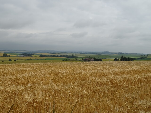
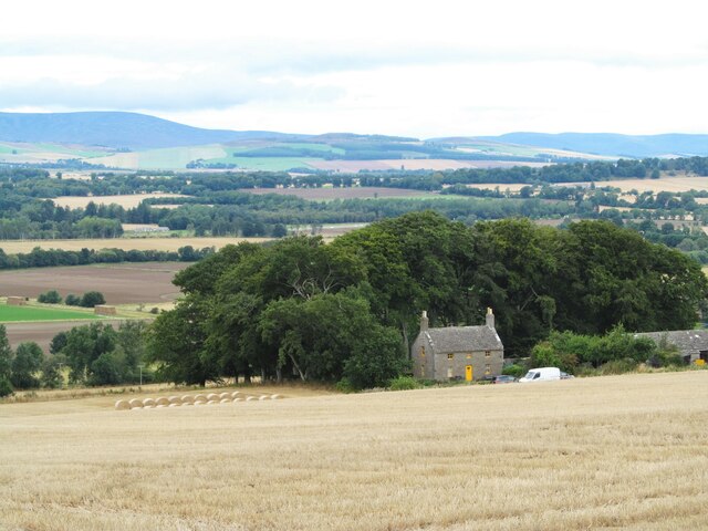
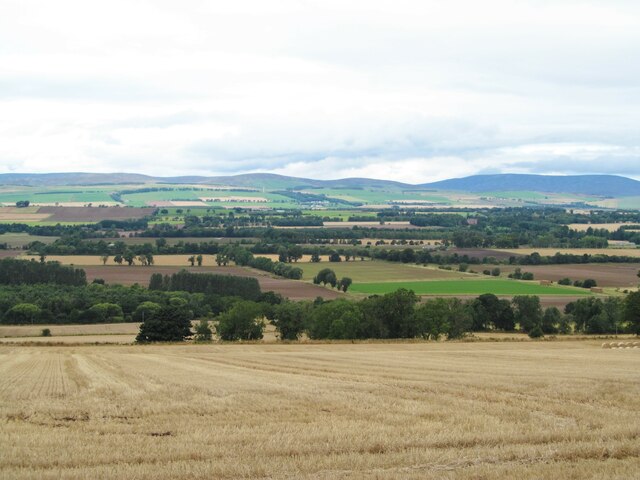
Standing at an elevation of approximately 2,309 feet (704 meters), Angus Hill offers breathtaking panoramic views of the surrounding countryside. The hill is characterized by its gentle slopes, distinct summit, and a diverse range of flora and fauna. It forms an integral part of the Cairngorms National Park, one of Scotland's most cherished protected areas.
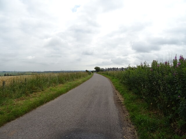
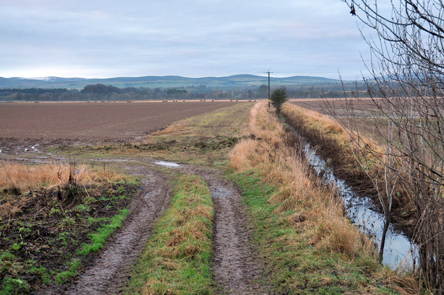
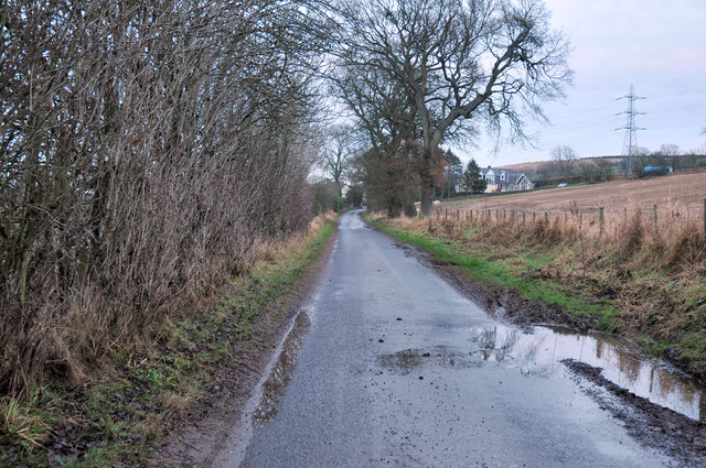
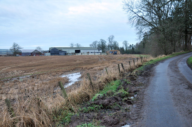
Angus Hill is a popular destination for outdoor enthusiasts, hikers, and nature lovers. Numerous trails and paths crisscross the hill, allowing visitors to explore its beauty at their own pace. The ascent to the summit is relatively moderate, making it accessible to individuals of various fitness levels.
The hill's location within the Angus Glens provides ample opportunities for wildlife spotting, with red deer, mountain hares, and various bird species being commonly sighted. Nature enthusiasts can also marvel at the vibrant display of wildflowers during the warmer months.
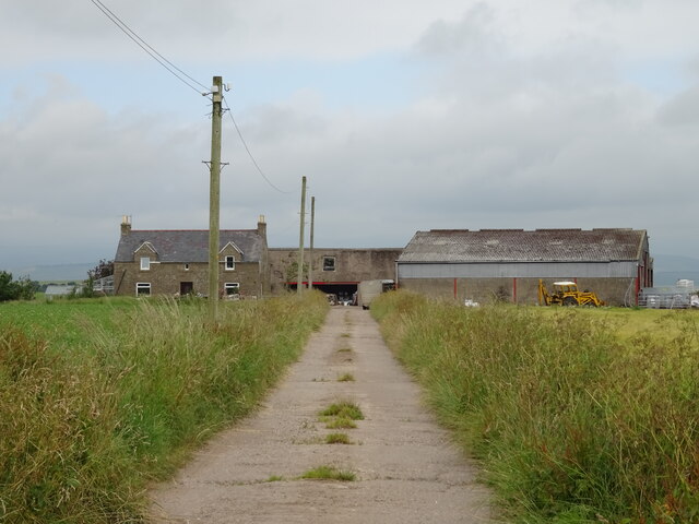
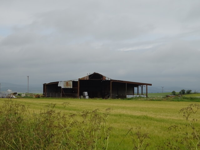
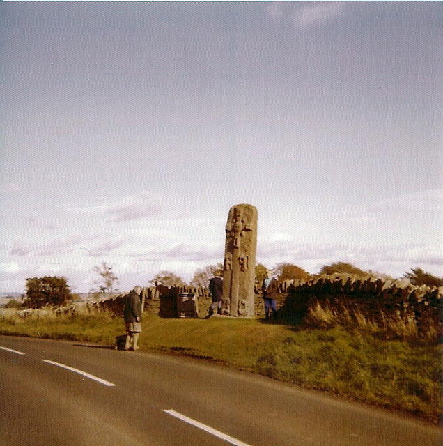
Aside from its natural allure, Angus Hill holds historical significance. The region has witnessed human habitation for centuries, and remnants of ancient settlements and stone circles can be found nearby. The hill's strategic position made it an important vantage point during historic conflicts, and the remnants of hillforts and defensive structures still dot the landscape.
Overall, Angus Hill offers a captivating combination of natural beauty, recreational opportunities, and historical importance, making it a must-visit destination for those exploring the Angus Glens region.
If you have any feedback on the listing, please let us know in the comments section below.
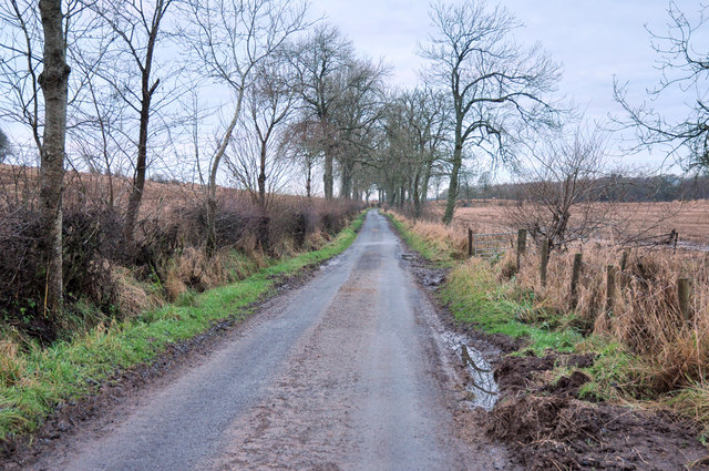
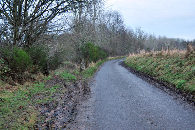
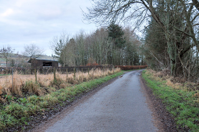
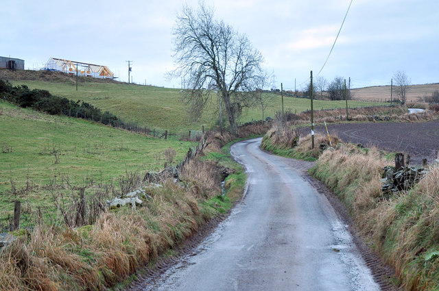
Angus Hill Images
Images are sourced within 2km of 56.701091/-2.7534029 or Grid Reference NO5356. Thanks to Geograph Open Source API. All images are credited.
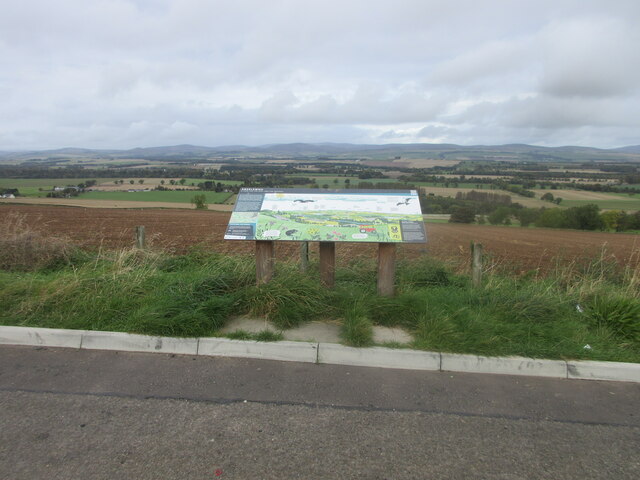
Angus Hill is located at Grid Ref: NO5356 (Lat: 56.701091, Lng: -2.7534029)
Unitary Authority: Angus
Police Authority: Tayside
What 3 Words
///taxi.crusaders.sensibly. Near Brechin, Angus
Nearby Locations
Related Wikis

Melgund Castle
Melgund Castle, lying around two kilometres (1.2 mi) due east of Aberlemno in Angus, Scotland, is a 16th-century L-plan castle which has been partially...

Aberlemno
Aberlemno (Scottish Gaelic: Obar Leamhnach, IPA:[ˈopəɾˈʎɛunəx]) is a parish and small village in the Scottish council area of Angus. It is noted for three...

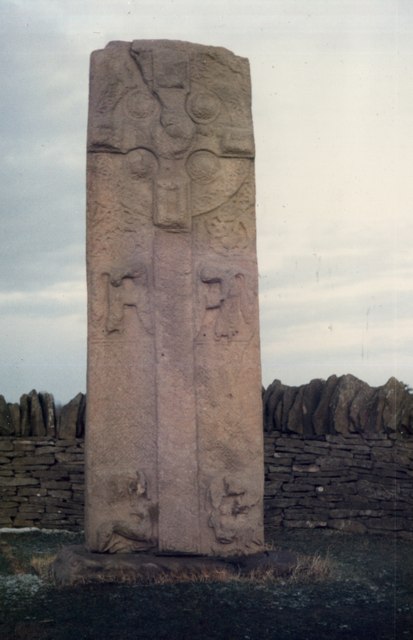
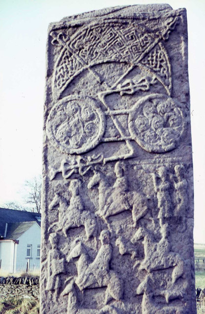
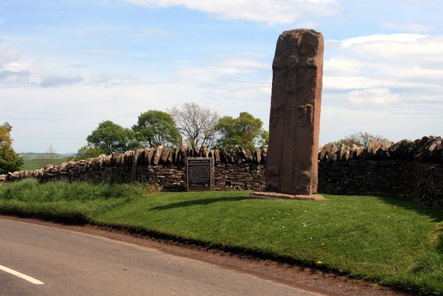
Aberlemno Sculptured Stones
The Aberlemno Sculptured Stones are a series of Pictish standing stones originating in and around the village of Aberlemno, Angus, Scotland. Three are...

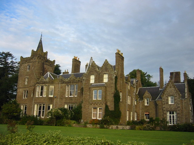
Careston Castle
Careston Castle, also known as Caraldston Castle, is an L-plan tower house dating from the 16th century, on a 1,528-acre estate, in Careston parish, Angus...
Careston
Careston is a hamlet in Angus, Scotland that is in the parish of the same name, 5 miles west of Brechin. The parish and hamlet supposedly took their name...

Careston railway station
Careston railway station served the hamlet of Careston, Angus, Scotland, from 1895 to 1964 on the Forfar and Brechin Railway. == History == The station...
Finavon
Finavon is a small settlement in Angus, Scotland. Its Ordnance Survey grid reference is NO4957. == References ==
Finavon Castle
Finavon Castle lies on the River South Esk, about a quarter of a mile south of Milton of Finavon village and five miles to the north-east of Forfar in...
Nearby Amenities
Located within 500m of 56.701091,-2.7534029Have you been to Angus Hill?
Leave your review of Angus Hill below (or comments, questions and feedback).