Ettley Hill
Hill, Mountain in Cheshire
England
Ettley Hill

Ettley Hill, located in Cheshire, England, is a prominent hill that offers breathtaking views of the surrounding countryside. Rising to a height of approximately 200 meters (656 feet), it is categorized as a hill rather than a mountain due to its modest elevation. Situated in close proximity to the village of Ettley, the hill is a popular destination for locals and tourists alike.
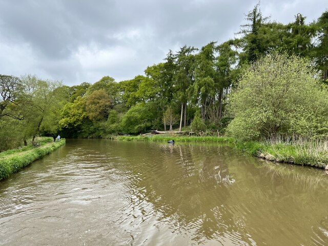
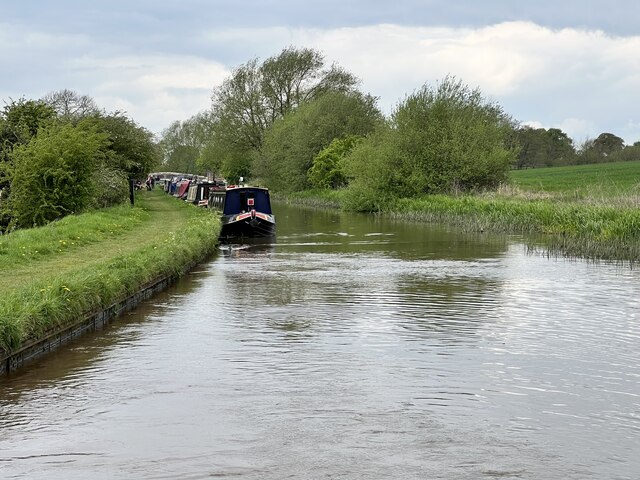
Covered in lush green vegetation, Ettley Hill boasts a diverse range of flora and fauna, making it an ideal location for nature lovers. The hill's slopes are adorned with a mix of deciduous and coniferous trees, creating a picturesque landscape throughout the seasons. Spring brings an explosion of vibrant wildflowers, while autumn paints the hillside in a stunning array of golden hues.
The summit of Ettley Hill offers panoramic views that stretch for miles, encompassing the rolling hills and valleys of Cheshire. Visitors can enjoy a peaceful walk along the well-maintained footpaths that wind their way to the top, taking in the tranquil surroundings and immersing themselves in nature. On clear days, it is possible to catch a glimpse of the distant Welsh mountains to the west.
Ettley Hill is also noted for its historical significance. The area is dotted with ancient burial mounds and archaeological sites, dating back to the Bronze Age. These remnants of the past offer a fascinating glimpse into the region's rich heritage.
Overall, Ettley Hill is a place of natural beauty and historical interest, providing a serene escape from the hustle and bustle of everyday life. Whether it's a leisurely stroll, a picnic with loved ones, or an exploration of ancient history, this Cheshire landmark has something to offer for everyone.
If you have any feedback on the listing, please let us know in the comments section below.
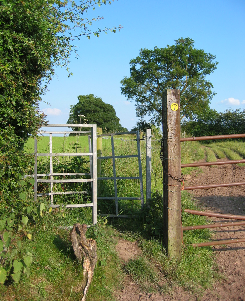
Ettley Hill Images
Images are sourced within 2km of 53.125494/-2.6894688 or Grid Reference SJ5358. Thanks to Geograph Open Source API. All images are credited.


![Railway embankment in the Gowy valley Somewhat straighter than the River Gowy [in the foreground].](https://s0.geograph.org.uk/geophotos/07/51/92/7519280_9f792766.jpg)


Ettley Hill is located at Grid Ref: SJ5358 (Lat: 53.125494, Lng: -2.6894688)
Unitary Authority: Cheshire West and Chester
Police Authority: Cheshire
What 3 Words
///another.goofy.uppermost. Near Beeston, Cheshire
Nearby Locations
Related Wikis

Beeston Castle
Beeston Castle is a former Royal castle in Beeston, Cheshire, England (grid reference SJ537593), perched on a rocky sandstone crag 350 feet (107 m) above...

Beeston, Cheshire
Beeston is a village and civil parish in the unitary authority of Cheshire West and Chester, which itself is in the ceremonial county of Cheshire in the...
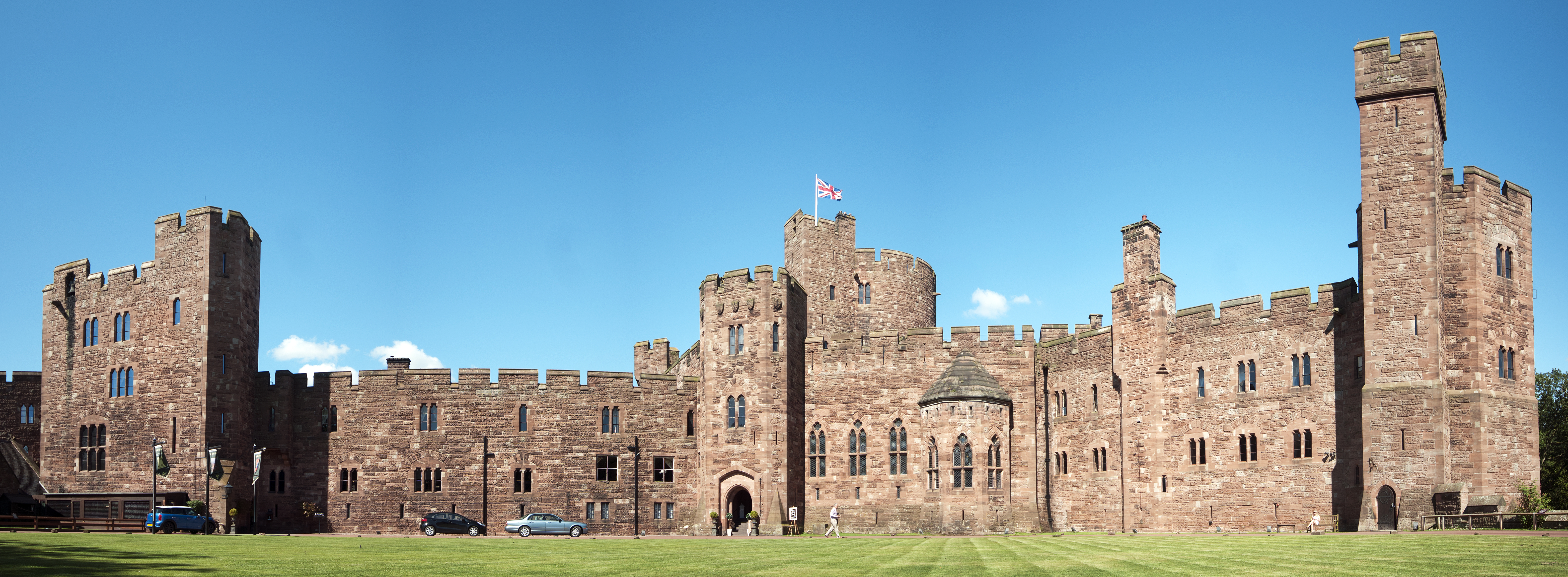
Peckforton Castle
Peckforton Castle is a Victorian country house built in the style of a medieval castle. It stands in woodland at the north end of Peckforton Hills one...
Sandstone Trail
The Sandstone Trail is a 55-kilometre (34 mi) long-distance walkers' path, following sandstone ridges running north–south from Frodsham in central Cheshire...
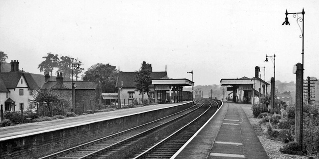
Beeston Castle and Tarporley railway station
Beeston Castle and Tarporley railway station was a railway station serving the villages of Tarporley, Tiverton, and Beeston in Cheshire, England. The station...
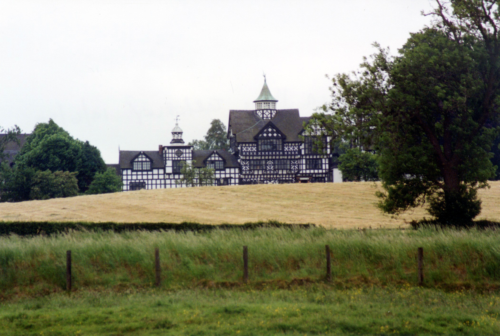
Beeston Towers
Beeston Towers (later the Wild Boar Hotel) is a former country house near the village of Beeston, Cheshire, England. It stands on the A49 road some 1 mile...
Brassey Green
Brassey Green is a small rural village near Tarporley, in Tiverton and Tilstone Fearnall civil parish, within the unitary authority of Cheshire West and...

Haycroft, Cheshire
Haycroft is a deserted village in the civil parish of Spurstow, in Cheshire, England, located at SJ5553157178, immediately east of Haycroft farm. Aerial...
Nearby Amenities
Located within 500m of 53.125494,-2.6894688Have you been to Ettley Hill?
Leave your review of Ettley Hill below (or comments, questions and feedback).