Berryfell Hill

Hill, Mountain in Roxburghshire

Scotland

Berryfell Hill

Shankend Viaduct This carried the Edinburgh to Carlisle Waverley line over the Langside Burn south of Hawick. It was opened in 1862, closed in 1969. A feasibility study is in progress to assess the case for extending the Borders Railway from Tweedbank to Hawick and Carlisle.
Shankend Viaduct Credit: Jim Barton

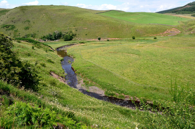
Berryfell Hill is a prominent hill located in the county of Roxburghshire, Scotland. Situated in the southern part of the country, it forms part of the beautiful landscape of the Scottish Borders region. With an elevation of 556 meters (1,824 feet), it is considered a relatively modest hill, yet it offers stunning panoramic views of the surrounding countryside.

The hill is characterized by its gently sloping sides, covered in lush green vegetation, which is a result of the region's abundant rainfall. Berryfell Hill is renowned for its rich flora and fauna, with a variety of plant species, including heather and grasses, covering its slopes. These attract a diverse range of wildlife, such as birds, rabbits, and even deer, making it a popular spot for nature enthusiasts and photographers.

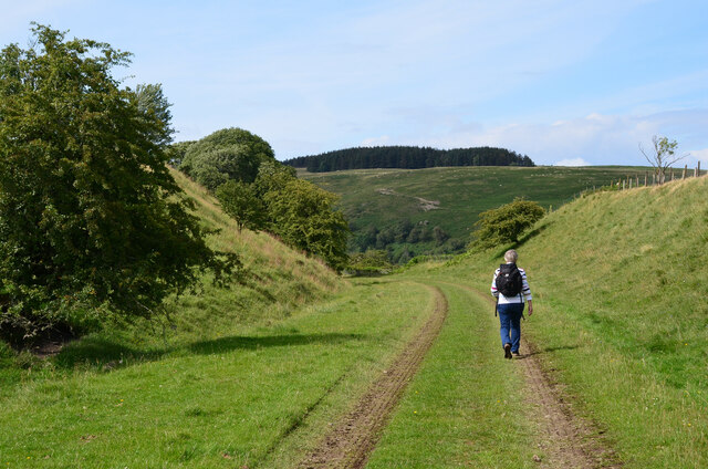
A network of well-maintained footpaths and trails allows visitors to explore Berryfell Hill and its surroundings. These paths provide easy access to the hill's summit, offering breathtaking vistas of the rolling hills, valleys, and rivers that stretch out in all directions. On a clear day, it is possible to see as far as the Cheviot Hills in Northumberland, England.

Berryfell Hill is also steeped in history, with evidence of human presence dating back thousands of years. Archaeological remains, including ancient burial mounds and stone circles, can be found scattered across the hillside, adding to its allure and intrigue.

Overall, Berryfell Hill provides a tranquil and picturesque escape for visitors seeking natural beauty and a connection to Scotland's rich cultural heritage.

If you have any feedback on the listing, please let us know in the comments section below.

Berryfell Hill Images

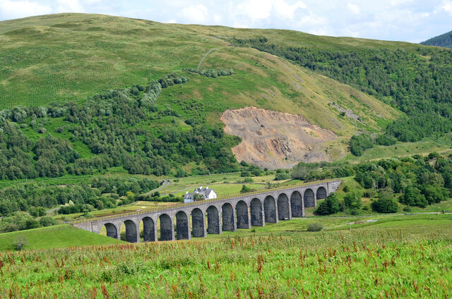
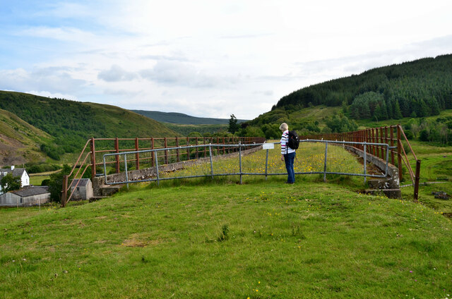
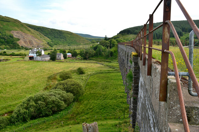
Images are sourced within 2km of 55.357979/-2.7341787 or Grid Reference NT5307. Thanks to Geograph Open Source API. All images are credited.

Shankend Viaduct This carried the Edinburgh to Carlisle Waverley line over the Langside Burn south of Hawick. It was opened in 1862, closed in 1969. A feasibility study is in progress to assess the case for extending the Borders Railway from Tweedbank to Hawick and Carlisle.
Shankend Viaduct
This carried the Edinburgh to Carlisle Waverley line over the Langside Burn south of Hawick. It was opened in 1862, closed in 1969. A feasibility study is in progress to assess the case for extending the Borders Railway from Tweedbank to Hawick and Carlisle.
Northern end of Shankend Viaduct On the Waverley Line route from Edinburgh to Carlisle, about to cross the Langside Burn en route for Whitrope Tunnel, Riccarton Junction and Newcastleton. The notice reads

'Highways Act 1980
The British Railways Board hereby give notice that this way is not dedicated to the public'
Northern end of Shankend Viaduct
On the Waverley Line route from Edinburgh to Carlisle, about to cross the Langside Burn en route for Whitrope Tunnel, Riccarton Junction and Newcastleton. The notice reads 'Highways Act 1980 The British Railways Board hereby give notice that this way is not dedicated to the public'
East side of the Shankend Viaduct The viaduct carried the Waverley Line across the Langside Burn. It has 15 arches and was opened in 1862 and the line closed in 1969. See also the Canmore website entry at <span class="nowrap"><a title="https://canmore.org.uk/site/55168/shankend-viaduct" rel="nofollow ugc noopener" href="https://canmore.org.uk/site/55168/shankend-viaduct">Link</a><img style="margin-left:2px;" alt="External link" title="External link - shift click to open in new window" src="https://s1.geograph.org.uk/img/external.png" width="10" height="10"/></span>.
East side of the Shankend Viaduct
The viaduct carried the Waverley Line across the Langside Burn. It has 15 arches and was opened in 1862 and the line closed in 1969. See also the Canmore website entry at LinkExternal link.
Cutting, Waverley Line Easy walking on smooth level grass on the trackbed in this area.
Cutting, Waverley Line
Easy walking on smooth level grass on the trackbed in this area.
The Slitrig Water The Slitrig gathers several burns from an expanse of moorland and forestry to flow north to join the Teviot at Hawick.
The Slitrig Water
The Slitrig gathers several burns from an expanse of moorland and forestry to flow north to join the Teviot at Hawick.
Shankend Viaduct
Shankend Viaduct
Shankend Viaduct
Shankend Viaduct
View east off the B6399
View north-east off the B6399
Langside Burn valley and Shankend Viaduct from the B6399 Shankend Viaduct lies on the disused "Waverley" Route from Carlisle to Edinburgh, one of the most-lamented closures of the Beeching Report.
Langside Burn valley and Shankend Viaduct from the B6399
Shankend Viaduct lies on the disused "Waverley" Route from Carlisle to Edinburgh, one of the most-lamented closures of the Beeching Report.
View from B6399 towards Maiden Paps Maiden Paps are the distinctively-shaped hills on the skyline.  In the foreground, Shankend Viaduct passes behind Shankend Farm.
Shankend Viaduct lies on the disused "Waverley" Route from Carlisle to Edinburgh, one of the most-lamented closures of the Beeching Report.
View from B6399 towards Maiden Paps
Maiden Paps are the distinctively-shaped hills on the skyline. In the foreground, Shankend Viaduct passes behind Shankend Farm. Shankend Viaduct lies on the disused "Waverley" Route from Carlisle to Edinburgh, one of the most-lamented closures of the Beeching Report.
The Langside Burn and Shankend Viaduct The 15-arched masonry viaduct formed part of the Waverley Railway route from Edinburgh to Carlisle. The line was opened in 1862 and closed in 1969.
The Langside Burn and Shankend Viaduct
The 15-arched masonry viaduct formed part of the Waverley Railway route from Edinburgh to Carlisle. The line was opened in 1862 and closed in 1969.
The Shankend Viaduct To have such a sizable viaduct, this must have been an important railway line.
The Shankend Viaduct
To have such a sizable viaduct, this must have been an important railway line.
Valley of the Cogsmill Burn The Cogsmill Burn is a tributary of the Slitrig Water which in turn is a tributary of the River Teviot in Hawick.
Valley of the Cogsmill Burn
The Cogsmill Burn is a tributary of the Slitrig Water which in turn is a tributary of the River Teviot in Hawick.
Shankend Viaduct Built in 1862 and Category B listed, the 15 arch Shankend Viaduct formerly carried the Edinburgh to Carlisle main line of the North British Railway, the Waverley route. The line closed on 6th January 1969
Shankend Viaduct
Built in 1862 and Category B listed, the 15 arch Shankend Viaduct formerly carried the Edinburgh to Carlisle main line of the North British Railway, the Waverley route. The line closed on 6th January 1969
South Berryfell Farm from the air South Berryfell Farm is in the centre of the photo.
South Berryfell Farm from the air
South Berryfell Farm is in the centre of the photo.
Looking from the B6399 towards the Shankend Viaduct
Cattle grid on the B6399 There are several such grids on this road though some have been tarmacked over.
Cattle grid on the B6399
There are several such grids on this road though some have been tarmacked over.
Show me another place!

Berryfell Hill is located at Grid Ref: NT5307 (Lat: 55.357979, Lng: -2.7341787)

Unitary Authority: The Scottish Borders

Police Authority: The Lothians and Scottish Borders

What 3 Words

///flickers.yesterday.tripped. Near Hawick, Scottish Borders

Related Wikis

Shankend

Shankend Manor was a sixteenth-century mansion located some six miles (ten kilometres) south of Hawick, close to Whitrope Siding in Scotland. It was constructed...

Shankend railway station

Shankend railway station served the hamlet of Shankend, Scottish Borders, Scotland from 1862 to 1969 on the Border Union Railway. == History == The station...

Stobs railway station

Stobs railway station served the hamlet of Barnes, Scottish Borders, Scotland from 1862 to 1969 on the Border Union Railway. == History == The station...

Stobs Military Camp

Stobs Camp is a military and internment camp located just outside Hawick in the Scottish Borders. It is an internationally important site due to its level...

Have you been to Berryfell Hill?

Leave your review of Berryfell Hill below (or comments, questions and feedback).