Hare Hill
Hill, Mountain in Roxburghshire
Scotland
Hare Hill
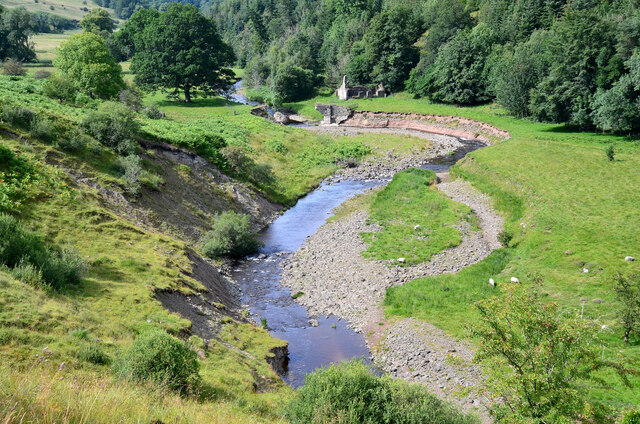
Hare Hill is a prominent hill located in Roxburghshire, a historic county in the Scottish Borders region of Scotland. Situated near the small village of Harehope, the hill offers breathtaking views of the surrounding countryside and is a popular destination for outdoor enthusiasts and nature lovers.
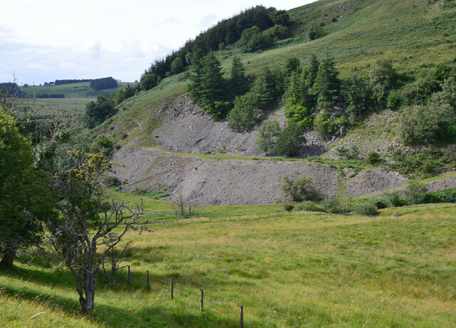
Standing at an elevation of approximately 372 meters (1,220 feet), Hare Hill is not classified as a mountain but rather a hill. However, its height and commanding position make it a prominent feature in the landscape. The hill is part of the larger Cheviot Hills range, which stretches across the border between Scotland and England.
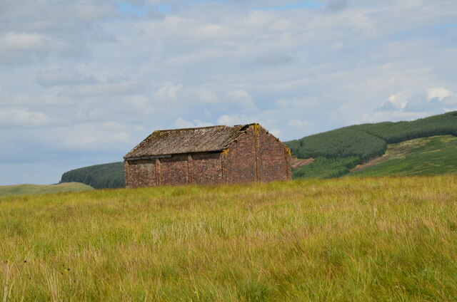
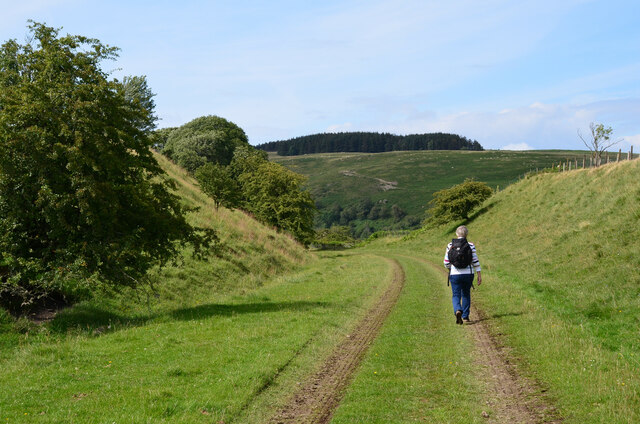
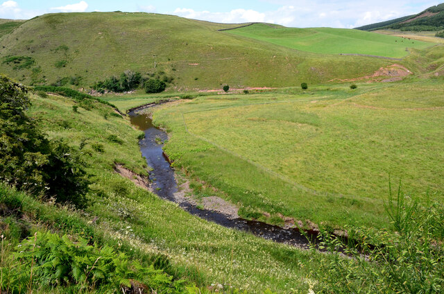
Hare Hill is covered in lush green vegetation, with heather, grasses, and scattered trees dotting its slopes. The hill's diverse flora supports a variety of wildlife, including birds, small mammals, and insects. Visitors may catch a glimpse of red grouse, curlews, or even the elusive mountain hare, from which the hill derives its name.
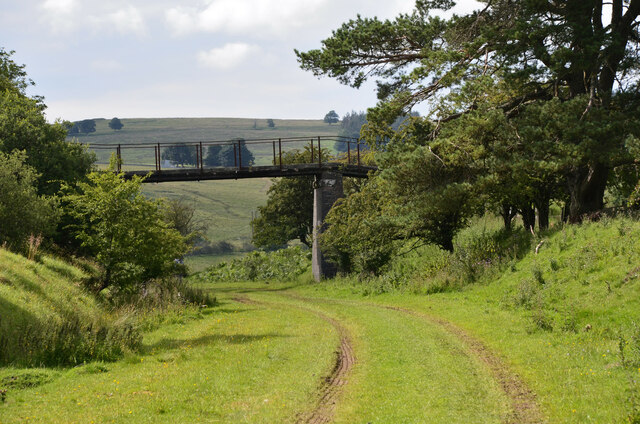
There are several walking trails that lead to the summit of Hare Hill, offering visitors the opportunity to explore its natural beauty. The routes can vary in difficulty, catering to both casual strollers and more experienced hikers. Along the way, walkers may encounter babbling streams, rocky outcrops, and picturesque viewpoints.
Whether it's for a leisurely stroll or a challenging hike, a visit to Hare Hill provides a chance to immerse oneself in the stunning landscape of Roxburghshire and appreciate the tranquility and natural beauty of this enchanting hill.
If you have any feedback on the listing, please let us know in the comments section below.
Hare Hill Images
Images are sourced within 2km of 55.355161/-2.7410348 or Grid Reference NT5307. Thanks to Geograph Open Source API. All images are credited.


Hare Hill is located at Grid Ref: NT5307 (Lat: 55.355161, Lng: -2.7410348)
Unitary Authority: The Scottish Borders
Police Authority: The Lothians and Scottish Borders
What 3 Words
///tilts.hood.method. Near Hawick, Scottish Borders
Nearby Locations
Related Wikis

Shankend
Shankend Manor was a sixteenth-century mansion located some six miles (ten kilometres) south of Hawick, close to Whitrope Siding in Scotland. It was constructed...

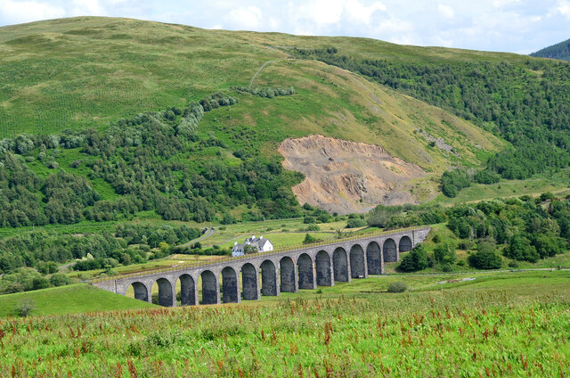
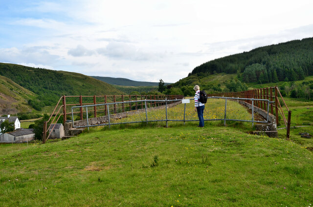
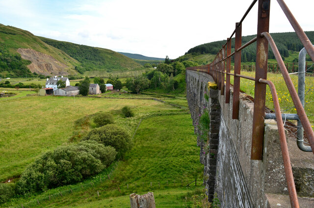
Shankend railway station
Shankend railway station served the hamlet of Shankend, Scottish Borders, Scotland from 1862 to 1969 on the Border Union Railway. == History == The station...
Stobs railway station
Stobs railway station served the hamlet of Barnes, Scottish Borders, Scotland from 1862 to 1969 on the Border Union Railway. == History == The station...

Stobs Military Camp
Stobs Camp is a military and internment camp located just outside Hawick in the Scottish Borders. It is an internationally important site due to its level...

Wauchope, Scottish Borders
Wauchope is a hamlet in the Scottish Borders council area of Scotland, near Southdean. Wauchope House was demolished in 1932. == See also == Wauchope Forest...

Maiden Paps (Hawick)
The Maiden Paps are twin hills near Hawick, in the Scottish Borders of the south east of Scotland, so named because they have the shape of human breasts...
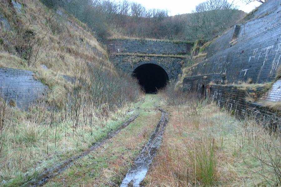
Whitrope Tunnel
The Whitrope Tunnel is a disused railway tunnel in the Scottish Borders, situated 12 miles (19 km) south of Hawick on the Waverley Route, close to Whitrope...
Whitrope
Whitrope is a densely forested, but sparsely populated area, high in the Southern Upland hills in the south central Scottish Borders in the former county...
Nearby Amenities
Located within 500m of 55.355161,-2.7410348Have you been to Hare Hill?
Leave your review of Hare Hill below (or comments, questions and feedback).