Arnton Fell
Hill, Mountain in Roxburghshire
Scotland
Arnton Fell
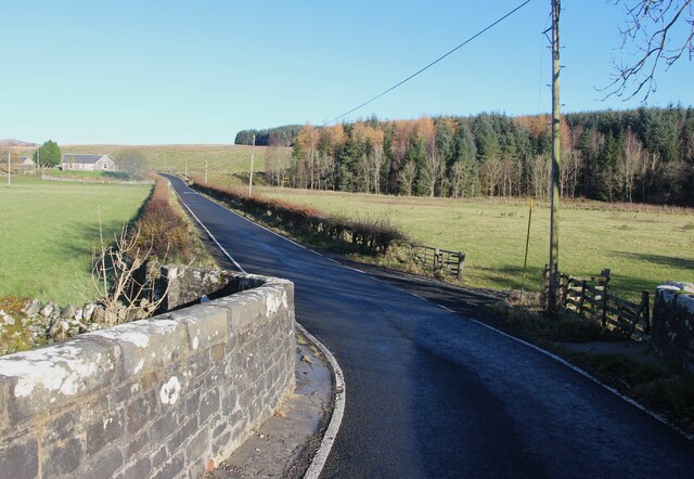
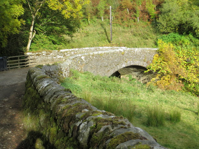
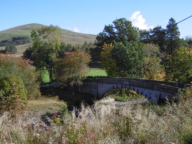
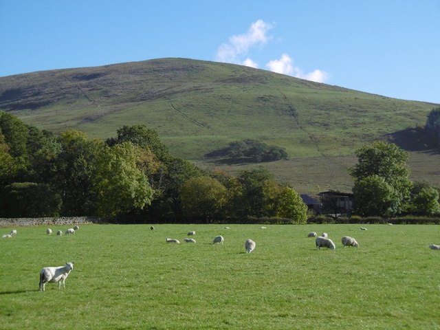
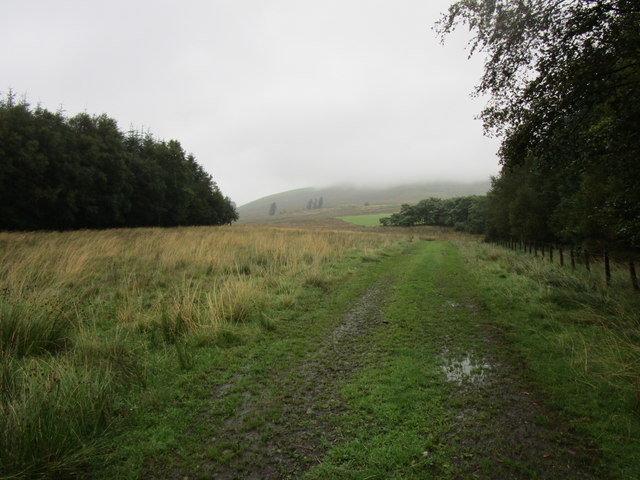
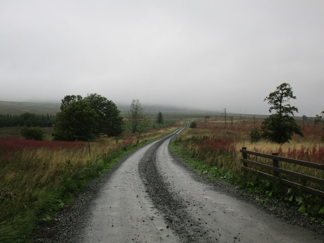
Arnton Fell is a prominent hill located in the county of Roxburghshire, Scotland. Rising to an elevation of approximately 400 meters (1,312 feet), it is known for its breathtaking views and picturesque landscapes. Situated in the southern part of the county, Arnton Fell is a popular destination for hikers, nature enthusiasts, and adventure seekers.
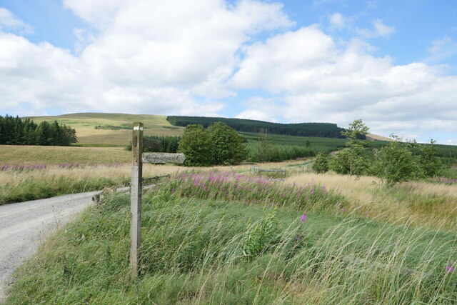
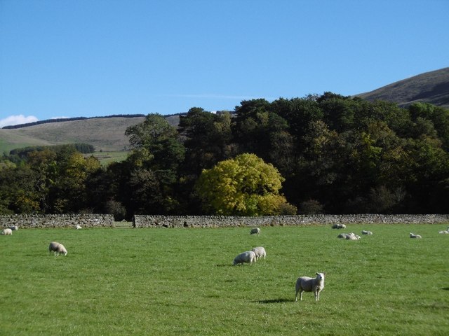
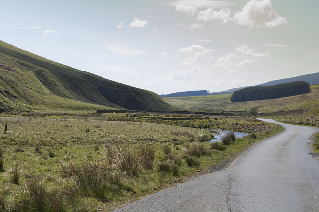
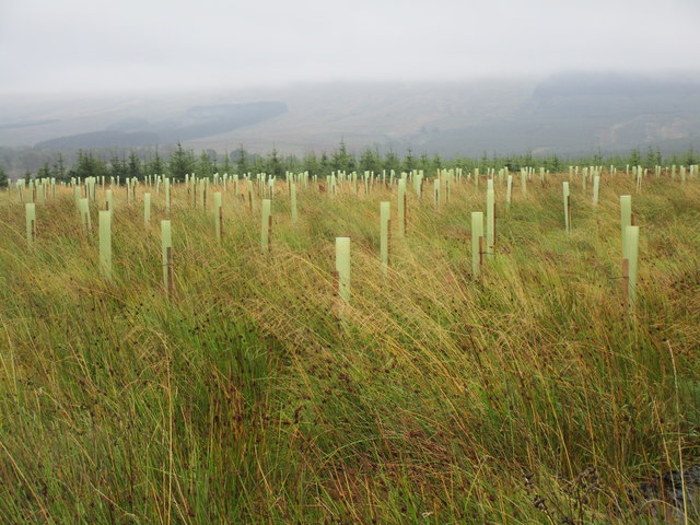
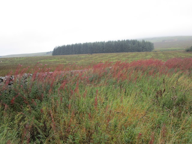
The hill is characterized by its rolling slopes and rugged terrain, covered in a patchwork of heather, grasses, and scattered rocks. Its summit offers panoramic views of the surrounding countryside, including the nearby Cheviot Hills to the south and the Eildon Hills to the north. On clear days, it is even possible to see as far as the Northumberland coast.
Arnton Fell is home to a diverse range of flora and fauna, with various bird species, wildflowers, and mosses thriving in its unique ecosystem. The hill is also known for its historical significance, with traces of ancient settlements and archaeological sites scattered throughout its slopes.
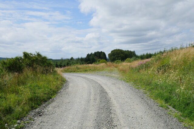
Access to Arnton Fell is primarily via footpaths and trails that wind their way up the hill. The ascent can be challenging at times, but the rewarding views and tranquil atmosphere make it a worthwhile endeavor. Visitors are advised to wear appropriate footwear and carry essential provisions, as the hill can be exposed and subject to changeable weather conditions.
In conclusion, Arnton Fell is a captivating hill in Roxburghshire that offers both natural beauty and historical intrigue. Its towering presence and mesmerizing vistas make it a must-visit destination for those seeking an escape into the Scottish wilderness.
If you have any feedback on the listing, please let us know in the comments section below.
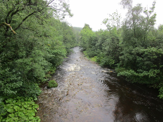
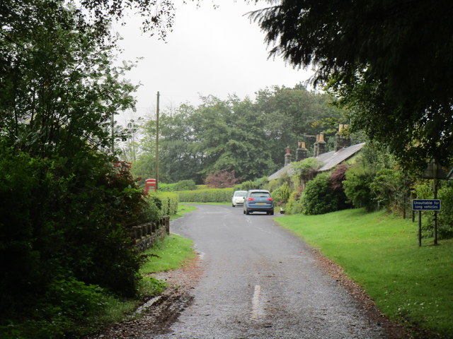
Arnton Fell Images
Images are sourced within 2km of 55.247448/-2.7495837 or Grid Reference NY5295. Thanks to Geograph Open Source API. All images are credited.
Arnton Fell is located at Grid Ref: NY5295 (Lat: 55.247448, Lng: -2.7495837)
Unitary Authority: The Scottish Borders
Police Authority: The Lothians and Scottish Borders
What 3 Words
///watch.circulate.probing. Near Teviothead, Scottish Borders
Nearby Locations
Related Wikis

Hermitage Water
The Hermitage Water is a river in Liddesdale, in the Scottish Borders area of Scotland. Among its many feeder burns are Braidley Burn, Dinley Burn, Gorrenberry...

Steele Road railway station
Steele Road railway station served the hamlet of Steele Road, Scottish Borders, Scotland, from 1862 to 1969 on the Border Union Railway. == History... ==
Hermitage, Scottish Borders
Hermitage is a village near Newcastleton, on the B6399, in the Scottish Borders area of Scotland. == See also == List of places in the Scottish Borders...

Ninestane Rig
Ninestane Rig (English: Nine Stone Ridge) is a small stone circle in Scotland near the English border. Located in Roxburghshire, near to Hermitage Castle...

Hermitage Castle
Hermitage Castle is a semi-ruined castle in the border region of Scotland. It is under the care of Historic Scotland. The castle has a reputation, both...

Riccarton Junction railway station
Riccarton Junction, in the county of Roxburghshire in the Scottish Borders, was a railway village and station. In its heyday it had 118 residents and its...
Dinlabyre
Dinlabyre is a village on the B6357 in Liddesdale, on the edge of the Newcastleton Forest, close to Castleton, in the Scottish Borders area of Scotland...
Saughtree
Saughtree is a hamlet in the Scottish Borders at the junction of the B6357 and an unnamed road from Kielder village in Northumberland, England. It is at...
Have you been to Arnton Fell?
Leave your review of Arnton Fell below (or comments, questions and feedback).