Breda Hill

Hill, Mountain in Aberdeenshire

Scotland

Breda Hill

Access road for Littlewood Park Littlewood Park is a large house <a title="https://www.geograph.org.uk/photo/649151" href="https://www.geograph.org.uk/photo/649151">Link</a> in a minor valley feeding into the River Don. It's approached from the A944 by the long drive seen here; the house is behind the camera, by some way!
Access road for Littlewood Park Credit: Trevor Littlewood

Breda Hill is a prominent landmark located in Aberdeenshire, Scotland. Standing at an elevation of 635 meters (2,083 feet), it is classified as a hill rather than a mountain. It is situated in the eastern part of the Cairngorms National Park and is surrounded by stunning natural beauty.

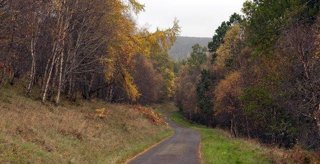
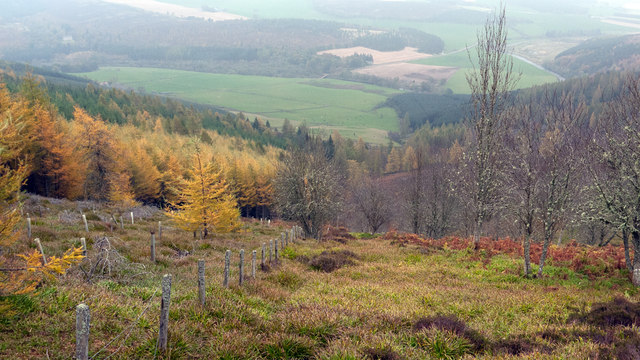
The hill offers breathtaking panoramic views of the surrounding landscape, including the nearby Morven Hills and the rolling Aberdeenshire countryside. Its distinct shape and prominent position make it a popular destination for hikers, nature enthusiasts, and photographers.

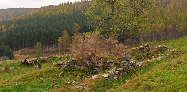
Breda Hill is known for its diverse flora and fauna, with various species of birds, mammals, and plants calling it home. The hill is covered with heather and grass, providing a rich and vibrant habitat for wildlife. Birdwatchers often spot species such as red grouse and merlin, while occasional sightings of deer and hares are not unusual.

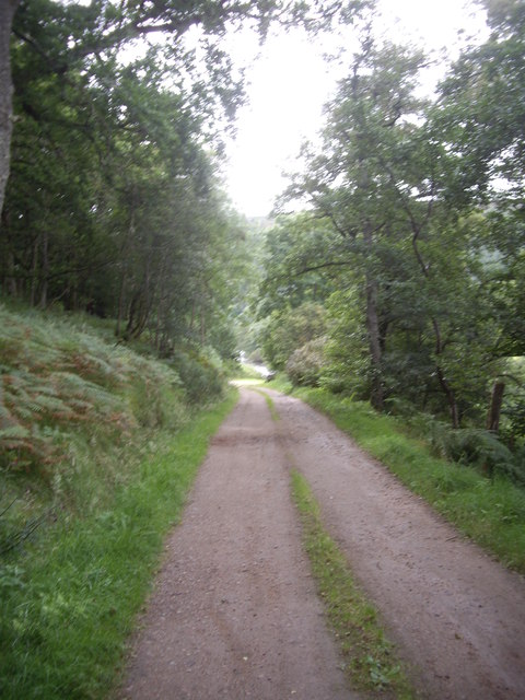
Access to Breda Hill is relatively easy, with several well-marked trails leading to the summit. The most popular route starts from the nearby village of Rhynie, where visitors can park their vehicles and embark on a scenic hike. The path is well-maintained but can be steep in certain sections, making it suitable for moderately experienced hikers.

Overall, Breda Hill offers a fantastic opportunity to immerse oneself in the natural wonders of Aberdeenshire. With its stunning views, abundant wildlife, and accessible trails, it is a must-visit destination for anyone seeking a memorable outdoor experience in the region.

If you have any feedback on the listing, please let us know in the comments section below.
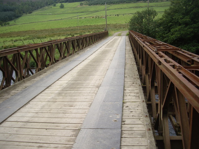
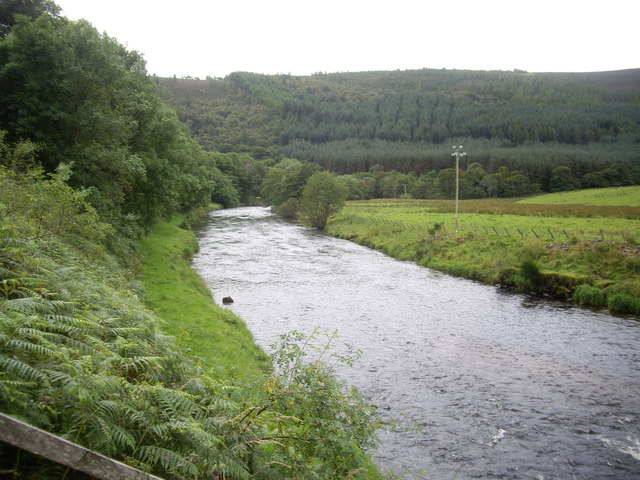
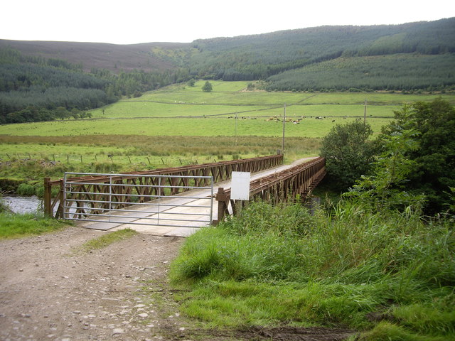
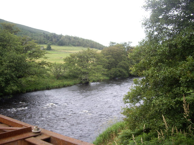
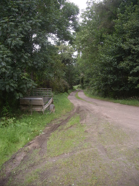
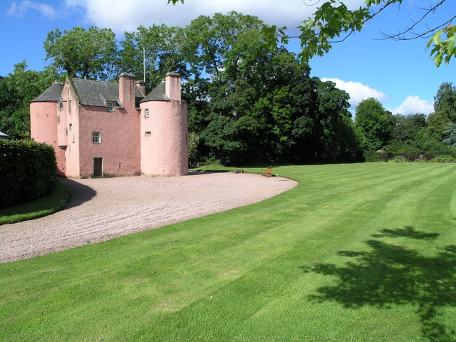
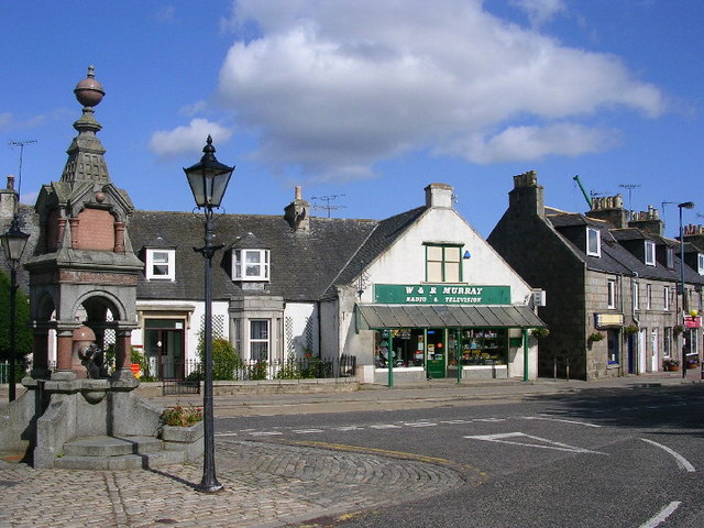
Breda Hill Images

Images are sourced within 2km of 57.233513/-2.7897908 or Grid Reference NJ5216. Thanks to Geograph Open Source API. All images are credited.

Access road for Littlewood Park Littlewood Park is a large house <a title="https://www.geograph.org.uk/photo/649151" href="https://www.geograph.org.uk/photo/649151">Link</a> in a minor valley feeding into the River Don. It's approached from the A944 by the long drive seen here; the house is behind the camera, by some way!
Access road for Littlewood Park
Littlewood Park is a large house Link in a minor valley feeding into the River Don. It's approached from the A944 by the long drive seen here; the house is behind the camera, by some way!
Ruined building in field south of Bithnie On the lower eastern slopes of Coiliochbhar Hill, below the forestry there, is this ruin, one of at least two; no name can be found on OS maps.
Ruined building in field south of Bithnie
On the lower eastern slopes of Coiliochbhar Hill, below the forestry there, is this ruin, one of at least two; no name can be found on OS maps.
Forest edge on east side of Coiliochbhar Hill Plantation trees are to the left of the fence, those to the right are presumably regenerating naturally. The valley of the River Don lies below.
Forest edge on east side of Coiliochbhar Hill
Plantation trees are to the left of the fence, those to the right are presumably regenerating naturally. The valley of the River Don lies below.
Scattered conifers on Coiliochbhar Hill Coiliochbhar Hill is forested on its eastern side right up to the summit ridge and in places across the ridge onto the western side. Where there are trees across the ridge they are well spaced and progress can be made through them with ease. The view here is to the south-west as the tree cover begins to run out and heather takes over. The hill's summit lies behind the camera.
Scattered conifers on Coiliochbhar Hill
Coiliochbhar Hill is forested on its eastern side right up to the summit ridge and in places across the ridge onto the western side. Where there are trees across the ridge they are well spaced and progress can be made through them with ease. The view here is to the south-west as the tree cover begins to run out and heather takes over. The hill's summit lies behind the camera.
Track from Bithnie Bridge to A97
Bithnie Bridge Over the River Don near Littlewood Park.
Bithnie Bridge
Over the River Don near Littlewood Park.
Downstream River Don From Bithnie Bridge.
Downstream River Don
From Bithnie Bridge.
Gated-track to Bithnie farm Crossing the Don, via a bridge with a lockable gate.
Gated-track to Bithnie farm
Crossing the Don, via a bridge with a lockable gate.
Fishermen's steps to the River Don On the downstream side of Bithnie Bridge.
Fishermen's steps to the River Don
On the downstream side of Bithnie Bridge.
Upstream River Don From Bithnie Bridge.
Upstream River Don
From Bithnie Bridge.
A farm trailer Parked by Bithnie Bridge.
A farm trailer
Parked by Bithnie Bridge.
Moorland, Coiliochbhar Hill An unwelcome and malign growth on the slopes of delightful Coiliochbhar Hill - an anemometer mast.  Enjoy this wonderful wee hill while you can - Last chance to see!
Moorland, Coiliochbhar Hill
An unwelcome and malign growth on the slopes of delightful Coiliochbhar Hill - an anemometer mast. Enjoy this wonderful wee hill while you can - Last chance to see!
Scattered old trees, Coiliochbhar Hill
Moorland, Coiliochbhar Hill A path runs up a vague ridge from the south.
Moorland, Coiliochbhar Hill
A path runs up a vague ridge from the south.
Coiliochbhar Hill View to the larch plantation by the summit.
Coiliochbhar Hill
View to the larch plantation by the summit.
A bad sign Something you never want to see on a lovely hill like Coiliochbhar, an anemometer mast.
A bad sign
Something you never want to see on a lovely hill like Coiliochbhar, an anemometer mast.
Larch wood, Coiliochbhar Hill A larch wood almost surrounds the summit of Coiliochbhar Hill.
Larch wood, Coiliochbhar Hill
A larch wood almost surrounds the summit of Coiliochbhar Hill.
Larch wood, Coiliochbhar Hill The edge of the old plantation near the summit of Coiliochbhar Hill.
Larch wood, Coiliochbhar Hill
The edge of the old plantation near the summit of Coiliochbhar Hill.
Show me another place!

Breda Hill is located at Grid Ref: NJ5216 (Lat: 57.233513, Lng: -2.7897908)

Unitary Authority: Aberdeenshire

Police Authority: North East

What 3 Words

///dentures.bronzer.sour. Near Alford, Aberdeenshire

Nearby Locations

Breda Hill

Related Wikis

Nearby Amenities

Located within 500m of 57.233513,-2.7897908
Breda Hill
Ele: 349
Natural: peak
Lat/Long: 57.2332708/-2.7893313
The data included in this document is from www.openstreetmap.org. The data is made available under ODbL.

Have you been to Breda Hill?

Leave your review of Breda Hill below (or comments, questions and feedback).