Boodie's Law
Hill, Mountain in Roxburghshire
Scotland
Boodie's Law
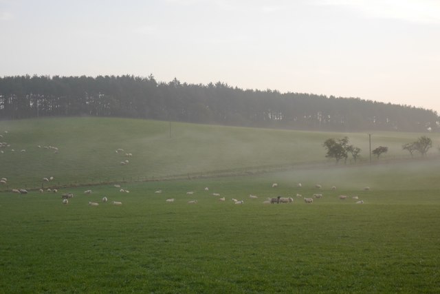
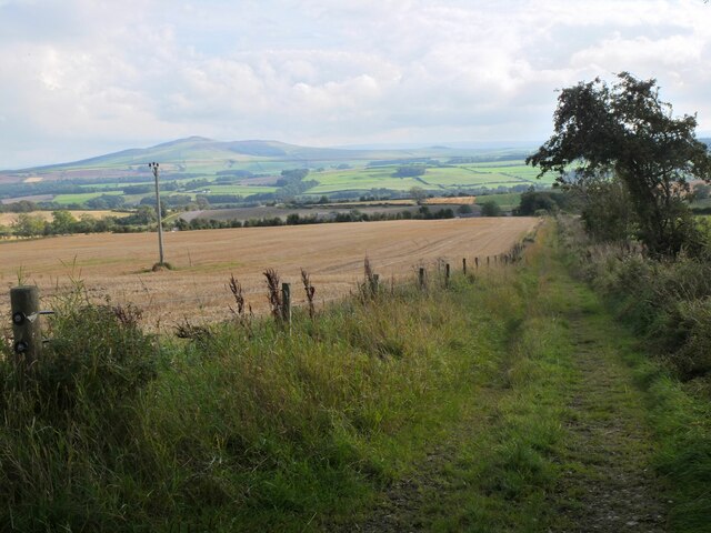
Boodie's Law is a prominent hill located in Roxburghshire, a historic county in the Scottish Borders region of Scotland. Situated about 4 miles west of the town of Hawick, Boodie's Law is part of the Cheviot Hills range, which extends across the border between Scotland and England.
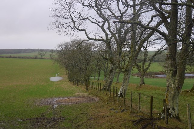
Standing at an elevation of 1,282 feet (391 meters), Boodie's Law offers stunning panoramic views of the surrounding countryside. The hill is characterized by its gently sloping grassy terrain, which makes it accessible to hikers and walkers of various abilities.
The summit of Boodie's Law is marked by a cairn, a man-made pile of stones traditionally used as a marker or memorial. This cairn not only serves as a navigational aid but also adds to the hill's scenic beauty.
Boodie's Law is a popular destination for outdoor enthusiasts, attracting both locals and tourists alike. Its easily accessible location, coupled with its breathtaking views, make it an ideal spot for activities such as hillwalking, birdwatching, and nature photography.
The hill is also home to a diverse range of flora and fauna. Its grassy slopes are dotted with heather, wildflowers, and various species of grasses, providing a habitat for a variety of wildlife including birds, rabbits, and deer.
Overall, Boodie's Law offers visitors a chance to experience the natural beauty and tranquility of the Scottish Borders, making it a must-visit destination for nature lovers and outdoor enthusiasts.
If you have any feedback on the listing, please let us know in the comments section below.
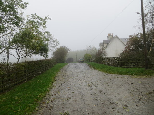
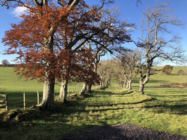
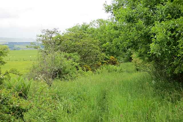
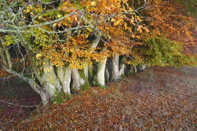
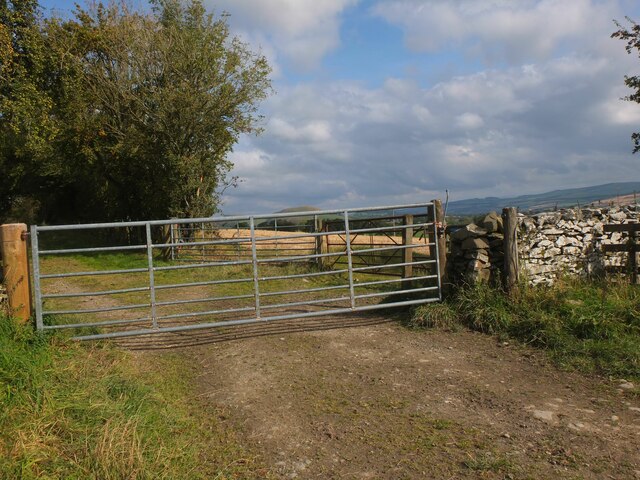
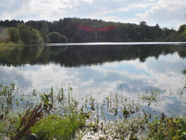
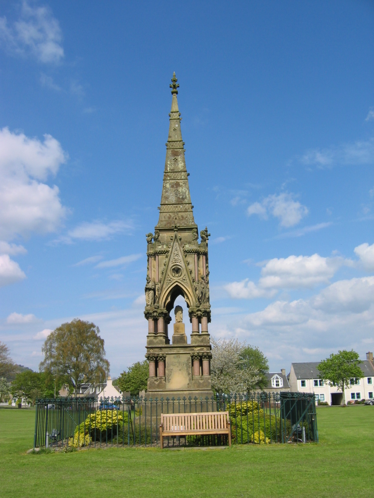
Boodie's Law Images
Images are sourced within 2km of 55.471953/-2.7537603 or Grid Reference NT5220. Thanks to Geograph Open Source API. All images are credited.


Boodie's Law is located at Grid Ref: NT5220 (Lat: 55.471953, Lng: -2.7537603)
Unitary Authority: The Scottish Borders
Police Authority: The Lothians and Scottish Borders
What 3 Words
///trade.mastering.branching. Near Hawick, Scottish Borders
Nearby Locations
Related Wikis

Hassendean, Scottish Borders
Hassendean is a hamlet in the Scottish Borders south of Edinburgh, Scotland. The stream is the Hassendean Burn which flows down to the River Teviot five...

Hassendean railway station
Hassendean railway station served the village of Hassendean, Scottish Borders, Scotland from 1850 to 1969 on the Waverley Route. == History == The station...

Bowismiln
Bowismiln is a village in the Scottish Borders area of Scotland. == See also == List of places in the Scottish Borders List of places in Scotland ��2...

Appletreehall
Appletreehall is a village in the Scottish Borders area of Scotland, 2 miles north-east of Hawick, in the historic county of Roxburghshire. Nearby are...
Burnfoot, Hawick
Burnfoot (Scottish Gaelic: Bun na h-Aibhne, Scots: Burnfit) is a housing estate just east of the A7, in the northern part of Hawick, by the Boonraw Burn...
Minto, Scottish Borders
Minto is a village and parish in the Scottish Borders area of Scotland in Roxburghshire county. It is located 6 miles (10 kilometres) north-east of Hawick...
Mansfield Park, Hawick
Mansfield Park is a rugby union ground in Hawick, Scotland, with a capacity of approximately 5,000. It is the home of Hawick Rugby Football Club, who currently...
Denholm
Denholm is a small village located between Jedburgh and Hawick in the Scottish Borders region of Scotland, UK. The estimated population of Denholm is 600...
Nearby Amenities
Located within 500m of 55.471953,-2.7537603Have you been to Boodie's Law?
Leave your review of Boodie's Law below (or comments, questions and feedback).