Harry's Hill
Hill, Mountain in Cumberland Carlisle
England
Harry's Hill
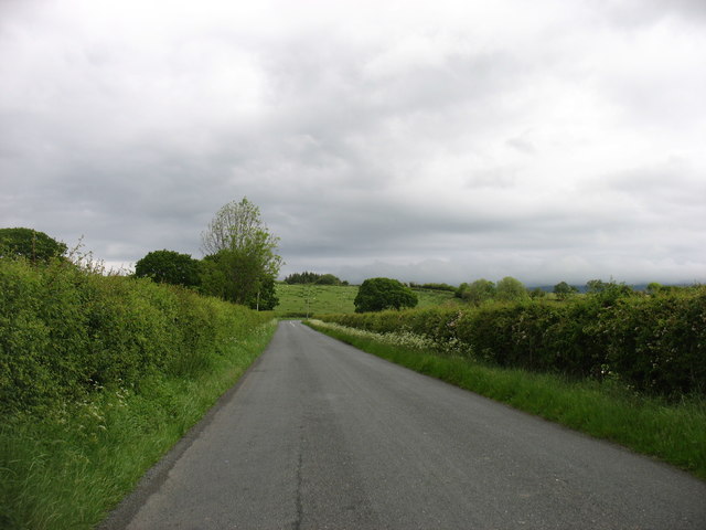
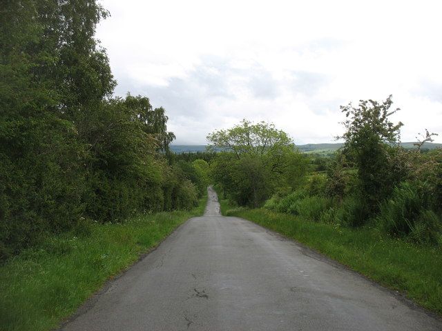
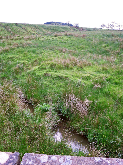
Harry's Hill is a prominent geographical feature located in the county of Cumberland, England. Situated near the town of Keswick, it is part of the picturesque Lake District National Park.
This hill, also referred to as Harry's Mountain, is characterized by its distinctive shape and lush green surroundings. Rising to an elevation of approximately 734 meters (2,408 feet), it offers breathtaking panoramic views of the surrounding valleys and peaks, including the nearby Skiddaw Mountain.
Harry's Hill is a popular destination for outdoor enthusiasts, hikers, and nature lovers. Its well-maintained trails and footpaths make it accessible to both experienced trekkers and casual walkers, providing a range of routes catering to different abilities. The ascent to the summit can be challenging, but the stunning vistas that await at the top make it a worthwhile endeavor.
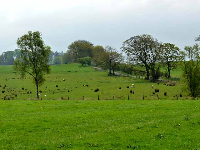
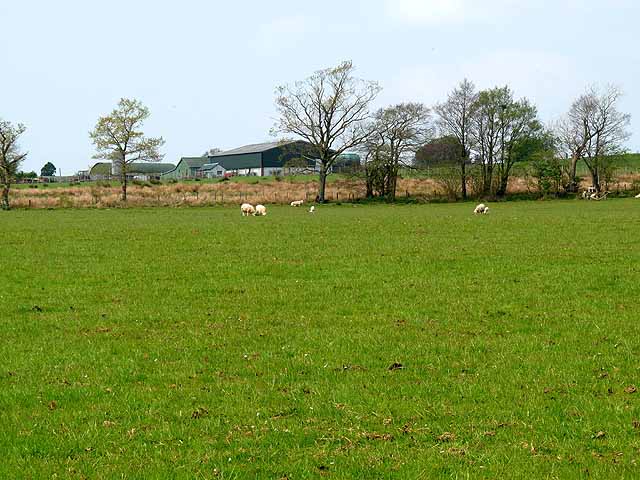
The hill is known for its diverse flora and fauna, with a variety of plant species and wildlife inhabiting its slopes. Visitors may encounter native birds, such as peregrine falcons and red grouse, as well as occasional glimpses of larger mammals like deer and foxes.
Harry's Hill also holds historical significance, with evidence of ancient settlements and megalithic structures found in the vicinity. These archaeological remnants add an extra layer of intrigue to the area, attracting history enthusiasts and researchers alike.
Overall, Harry's Hill in Cumberland offers a picturesque setting, challenging hikes, and a rich natural and cultural heritage, making it a must-visit destination for those exploring the stunning landscapes of the Lake District National Park.
If you have any feedback on the listing, please let us know in the comments section below.
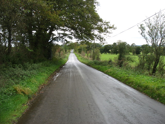
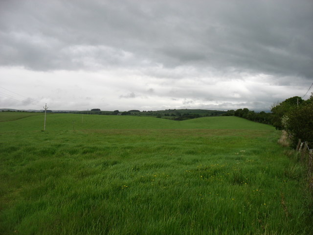
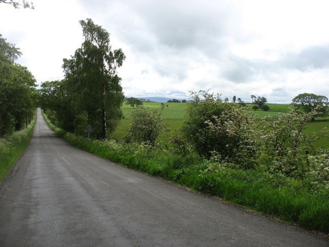
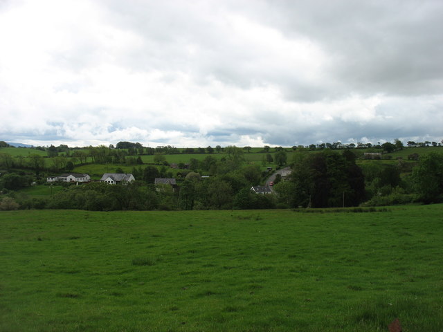
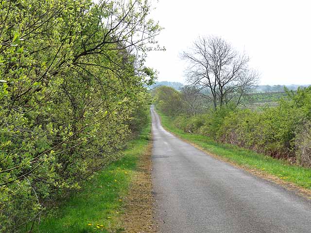
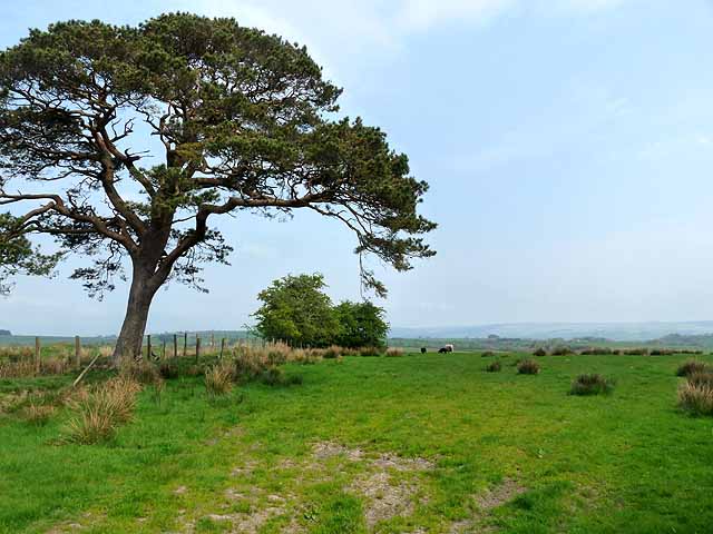
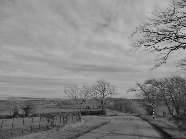
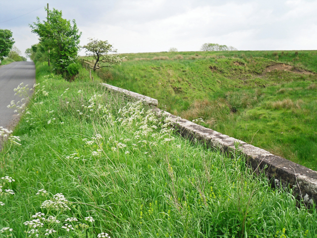
Harry's Hill Images
Images are sourced within 2km of 55.043124/-2.7532425 or Grid Reference NY5172. Thanks to Geograph Open Source API. All images are credited.
Harry's Hill is located at Grid Ref: NY5172 (Lat: 55.043124, Lng: -2.7532425)
Administrative County: Cumbria
District: Carlisle
Police Authority: Cumbria
What 3 Words
///hits.brain.obviously. Near Brampton, Cumbria
Nearby Locations
Related Wikis
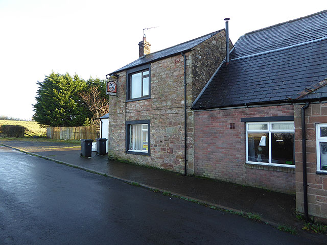
Stapleton, Cumbria
Stapleton is a village and civil parish in the City of Carlisle district, in the county of Cumbria, in the North West of England. It falls under the jurisdiction...

Askerton Castle
Askerton Castle is a medieval fortified manor house in Cumbria, England. == History == Askerton Castle was built in the parish of Askerton in Cumbria around...

Askerton
Askerton is a civil parish in the City of Carlisle district of Cumbria, England. It has a population of 162 according to the 2001 census, decreasing to...

Bewcastle Roman Fort
Bewcastle Roman Fort was built to the north of Hadrian's Wall as an outpost fort possibly intended for scouting and intelligence. The remains of the fort...
Bewcastle
Bewcastle is a large civil parish in the Cumberland unitary authority area of Cumbria, England. It is in the historic county of Cumberland. According to...

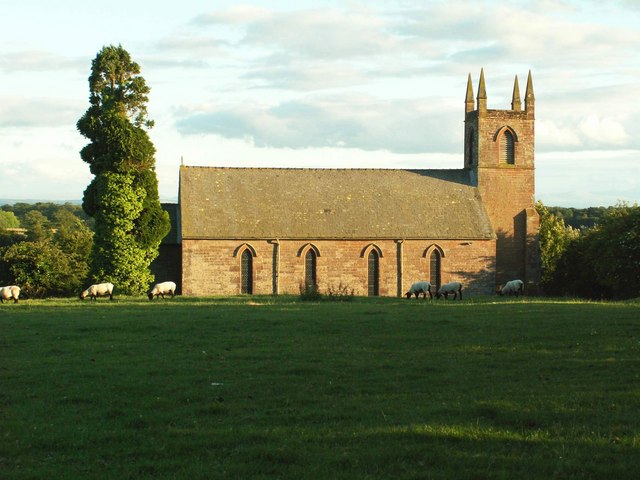
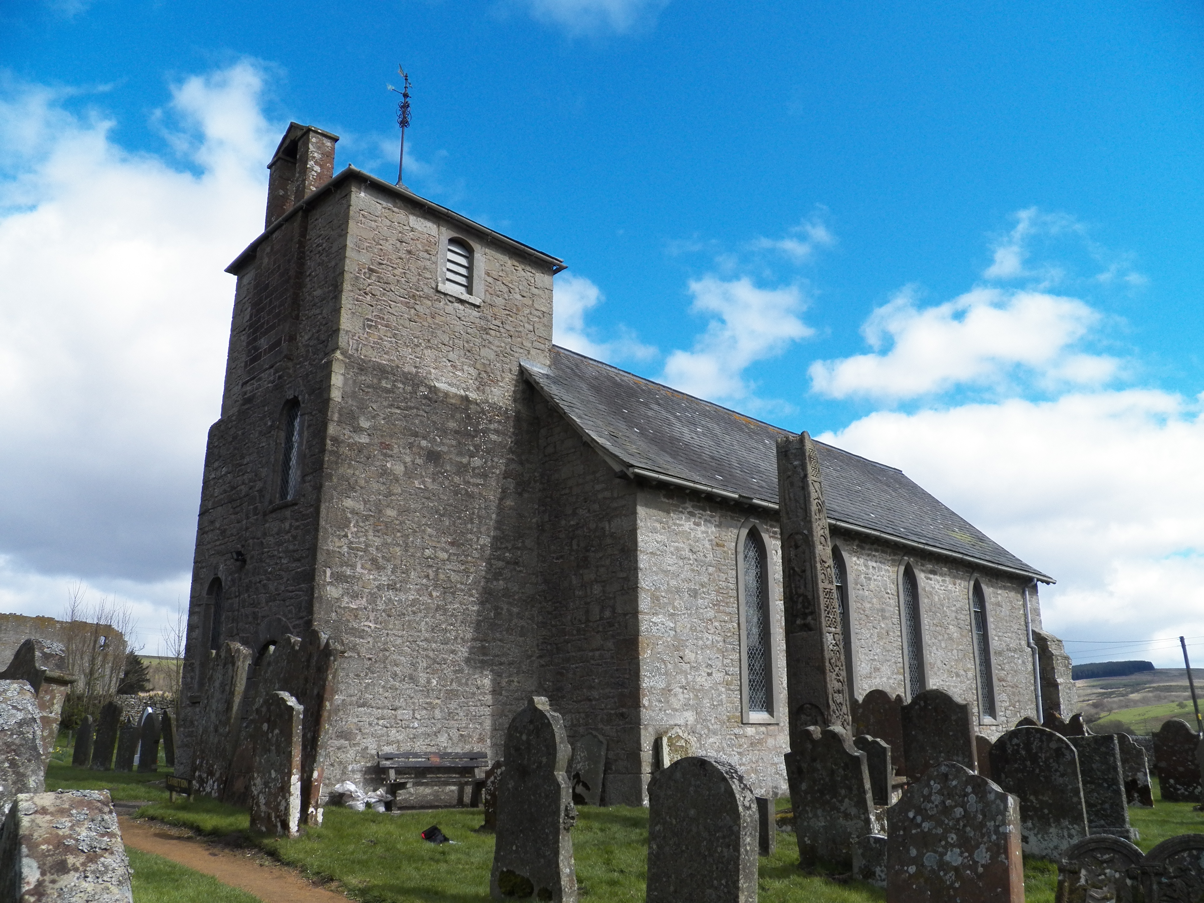
Bewcastle Cross
The Bewcastle Cross is an Anglo-Saxon cross which is still in its original position within the churchyard of St Cuthbert's church at Bewcastle, in the...

Bewcastle Castle
Bewcastle Castle is a ruined castle in the parish of Bewcastle in the English county of Cumbria, a few miles from the Scottish border. == History == The...

Solport
Solport is a civil parish in City of Carlisle district, Cumbria, England. In the 2011 UK Census it had a population of 166.It shares a parish council with...
Nearby Amenities
Located within 500m of 55.043124,-2.7532425Have you been to Harry's Hill?
Leave your review of Harry's Hill below (or comments, questions and feedback).