Badingair Hill

Hill, Mountain in Aberdeenshire

Scotland

Badingair Hill

Trig Point Trig Point at NJ514232 taken from the path just below it to the west. The hill is un-named on the OS Explorer 420.
Trig Point Credit: Alan Batty

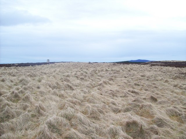
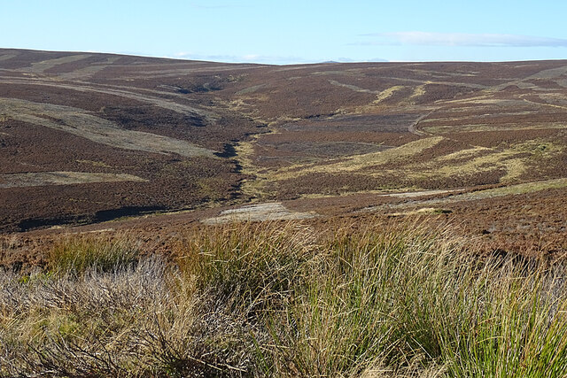
Badingair Hill is a prominent hill located in Aberdeenshire, Scotland. Situated near the village of Tarland, it is part of the rolling landscape of the Cairngorms National Park. With an elevation of approximately 550 meters (1,804 feet), Badingair Hill offers stunning panoramic views of the surrounding countryside.

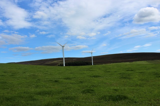
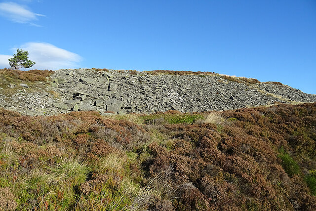
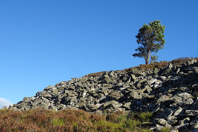
The hill is characterized by its distinctive shape, with a broad grassy slope leading up to a rocky summit. It is a popular destination for hikers and outdoor enthusiasts, attracting both locals and tourists alike. The ascent to the summit can be challenging, particularly in inclement weather, but the rewarding views make it well worth the effort.

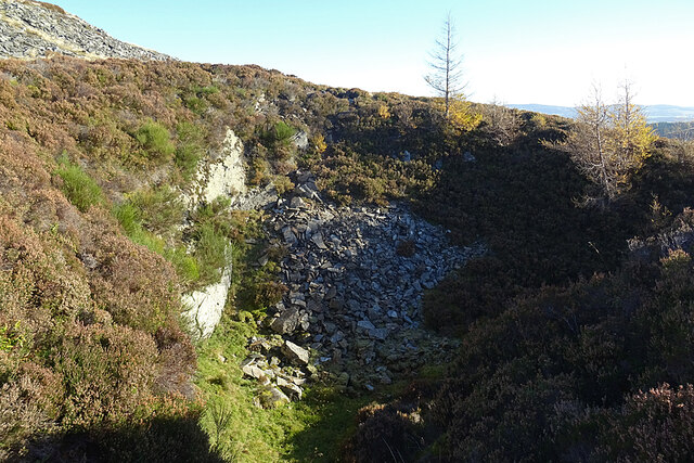
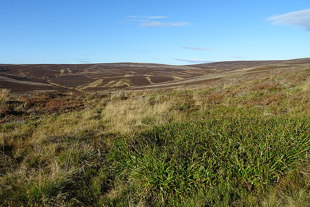
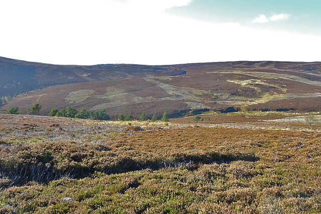
The hill is known for its diverse flora and fauna. Its lower slopes are covered in heather and grasses, while the higher regions are home to hardy alpine plants. Wildlife such as red deer and mountain hares can often be spotted on the hillside, adding to the natural beauty of the area.

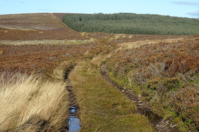
Badingair Hill is easily accessible, with several walking routes leading to its summit. The most popular trail starts in Tarland and follows a well-marked path that steadily ascends the hill. Along the way, walkers can enjoy the peacefulness of the countryside and the serenity of the surrounding landscape.

Overall, Badingair Hill is a picturesque and challenging hill that offers breathtaking views and a chance to immerse oneself in the beauty of Aberdeenshire's natural surroundings. Whether for a leisurely hike or a more strenuous climb, this hill is a must-visit destination for outdoor enthusiasts seeking an adventure in the Scottish Highlands.

If you have any feedback on the listing, please let us know in the comments section below.

Badingair Hill Images

Images are sourced within 2km of 57.29097/-2.8191772 or Grid Reference NJ5022. Thanks to Geograph Open Source API. All images are credited.

Trig Point Trig Point at NJ514232 taken from the path just below it to the west. The hill is un-named on the OS Explorer 420.
Trig Point
Trig Point at NJ514232 taken from the path just below it to the west. The hill is un-named on the OS Explorer 420.
Turbines at Cairnmore The two southerly wind turbines at Cairnmore with the Coreen hills behind.
Turbines at Cairnmore
The two southerly wind turbines at Cairnmore with the Coreen hills behind.
Correen Quarry This is one of the holes from which the stone was quarried. Further spoil heaps can be seen at a higher level.
Correen Quarry
This is one of the holes from which the stone was quarried. Further spoil heaps can be seen at a higher level.
Correen Quarry This is the smallest of the holes excavated by the quarriers, and it looks rather awkward of access.
Correen Quarry
This is the smallest of the holes excavated by the quarriers, and it looks rather awkward of access.
Correen Quarry These are some of the spoil heaps at Correen Quarry. They include some fairly large slabs.
Correen Quarry
These are some of the spoil heaps at Correen Quarry. They include some fairly large slabs.
Correen Quarry There are remains of dykes here, so perhaps these are the remains of the quarrymaster's house.
Correen Quarry
There are remains of dykes here, so perhaps these are the remains of the quarrymaster's house.
Hut in Correen Quarry We don't think that the hut dates from the days when this was an active quarry. It's more likely to have been installed for shooting parties to shelter in.
Hut in Correen Quarry
We don't think that the hut dates from the days when this was an active quarry. It's more likely to have been installed for shooting parties to shelter in.
Hut in Correen Quarry The hut isn't locked, and we were glad to see that shelter is available for walkers and others, even though we had no need of it on a mild sunny day that was more like spring than November.
Hut in Correen Quarry
The hut isn't locked, and we were glad to see that shelter is available for walkers and others, even though we had no need of it on a mild sunny day that was more like spring than November.
Lollipops This jar stands on the table inside the hut in Correen Quarry. We don't know who Cerys and Elliot are, but we salute them for their kindness.
Lollipops
This jar stands on the table inside the hut in Correen Quarry. We don't know who Cerys and Elliot are, but we salute them for their kindness.
Correen Quarry This is a piece of hewn rock abandoned by the quarrymen. The top surface has the characteristic sheen of mica-schist or phyllite that results from the formation of platy micas during metamorphosis of the pelite.
Correen Quarry
This is a piece of hewn rock abandoned by the quarrymen. The top surface has the characteristic sheen of mica-schist or phyllite that results from the formation of platy micas during metamorphosis of the pelite.
Correen Quarry A piece of hewn rock, showing the rough surface that made it so suitable for floors and pavements where a non-slip surface was desirable.
Correen Quarry
A piece of hewn rock, showing the rough surface that made it so suitable for floors and pavements where a non-slip surface was desirable.
Correen Quarry This is a cut block of stone. The holes are where crystals of less resistant minerals, possibly cordierite, have weathered out of the stone.
Correen Quarry
This is a cut block of stone. The holes are where crystals of less resistant minerals, possibly cordierite, have weathered out of the stone.
Correen Quarry Having lunched in the sunshine, and sheltered from the wind, we sallied forth through what must have been the main access to the quarry.
Correen Quarry
Having lunched in the sunshine, and sheltered from the wind, we sallied forth through what must have been the main access to the quarry.
Correen Quarry Spoil heaps on the north side of the Quarry, surmounted by a solitary Scots Pine.
Correen Quarry
Spoil heaps on the north side of the Quarry, surmounted by a solitary Scots Pine.
The View from the Path The path stays on the level above the shallow bowl drained by the Blacklatch Burn and its tributary the Badingair Burn, whose course descends from upper left towards the foot of Baingair Hill. The slightly higher hill to the right isn't named on the maps, but is the possessor of a triangulation pillar at 487 metres above sea level.
The View from the Path
The path stays on the level above the shallow bowl drained by the Blacklatch Burn and its tributary the Badingair Burn, whose course descends from upper left towards the foot of Baingair Hill. The slightly higher hill to the right isn't named on the maps, but is the possessor of a triangulation pillar at 487 metres above sea level.
Limer Shank The heathery ridge between the two burns is Limer Shank. Limestone occurs here but it is not of good enough quality to be much worked.
Limer Shank
The heathery ridge between the two burns is Limer Shank. Limestone occurs here but it is not of good enough quality to be much worked.
Wet Ruts There was water in several stretches of the road on the top of the ridge, but it was easy enough to avoid by taking to the heather. The bald patch to the right of the forest fence beyond the trees is the Mire of Midgates.
Wet Ruts
There was water in several stretches of the road on the top of the ridge, but it was easy enough to avoid by taking to the heather. The bald patch to the right of the forest fence beyond the trees is the Mire of Midgates.
Badingair Burn The burn drains the shallow bowl between Correen Quarry and the ridge made up of Brux Hill and Badingair Hill. There is a glimpse of The Buck in the distance above the headwaters of the Badingair Burn.
Badingair Burn
The burn drains the shallow bowl between Correen Quarry and the ridge made up of Brux Hill and Badingair Hill. There is a glimpse of The Buck in the distance above the headwaters of the Badingair Burn.
Show me another place!

Badingair Hill is located at Grid Ref: NJ5022 (Lat: 57.29097, Lng: -2.8191772)

Unitary Authority: Aberdeenshire

Police Authority: North East

What 3 Words

///stuffing.pass.positives. Near Alford, Aberdeenshire

Nearby Locations

Badingair Hill Peat Moss

Related Wikis

Lumsden, Aberdeenshire

Lumsden is an inland village in Aberdeenshire, Scotland on the A97 road. == Location == It crowns a rising-ground 227 m (745 ft) above sea level amid a...

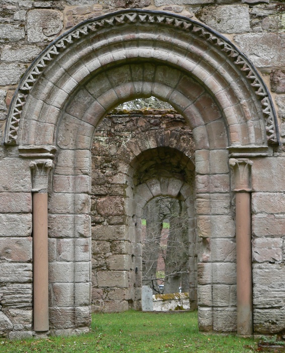
St Mary's Kirk, Auchindoir

St Mary's Kirk at Auchindoir, between Rhynie and Lumsden, in Aberdeenshire, Scotland, is one of the country's finest surviving medieval parish kirks. The...

Druminnor Castle

Druminnor Castle is an L-plan castle, dating from the early 15th century, about two miles east of Rhynnie, in a steep valley by the Keron burn, in Aberdeenshire...

Mossat

Mossat is a settlement in Aberdeenshire, Scotland on the A97 road near Glenkindie and Lumsden, between Bridge of Alford and Strathdon, and is situated...

Nearby Amenities

Located within 500m of 57.29097,-2.8191772
Badingair Hill
Ele: 474
Natural: peak
Lat/Long: 57.2911027/-2.8193649
The data included in this document is from www.openstreetmap.org. The data is made available under ODbL.

Have you been to Badingair Hill?

Leave your review of Badingair Hill below (or comments, questions and feedback).