Hardie's Hill
Hill, Mountain in Roxburghshire
Scotland
Hardie's Hill
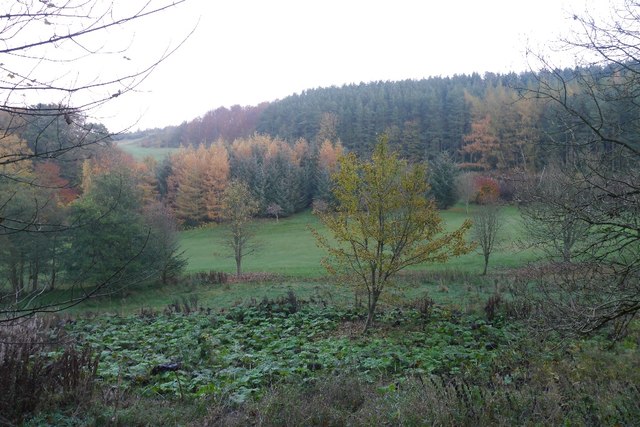
Hardie's Hill is a prominent landmark located in the region of Roxburghshire, Scotland. This hill is situated near the picturesque town of Jedburgh and is part of the renowned Cheviot Hills, which straddle the border between Scotland and England. Standing at an elevation of approximately 1,750 feet (533 meters), Hardie's Hill offers breathtaking panoramic views of the surrounding countryside.
The hill is characterized by its rugged terrain, covered in a mix of heather, grass, and sparse woodland. Its slopes are moderately steep, making it a popular destination for hikers, nature enthusiasts, and outdoor adventurers. The ascent to the summit is not overly challenging, making it accessible to individuals of varying fitness levels.
At the top of Hardie's Hill, visitors are rewarded with stunning vistas of rolling hills, meandering rivers, and the patchwork fields of Roxburghshire. On clear days, it is even possible to catch glimpses of the distant Northumberland National Park in England. The hill's strategic location also provides excellent opportunities for birdwatching, as it attracts a variety of avian species.
Hardie's Hill is deeply rooted in local history and folklore. Legend has it that the hill was named after a mythical figure who once roamed its slopes. The area surrounding the hill is scattered with ancient ruins, including the remains of a medieval castle and a nearby abbey, adding to its historical significance.
Overall, Hardie's Hill offers visitors a chance to immerse themselves in the natural beauty and rich heritage of Roxburghshire, making it a must-visit destination for anyone exploring this enchanting region of Scotland.
If you have any feedback on the listing, please let us know in the comments section below.
Hardie's Hill Images
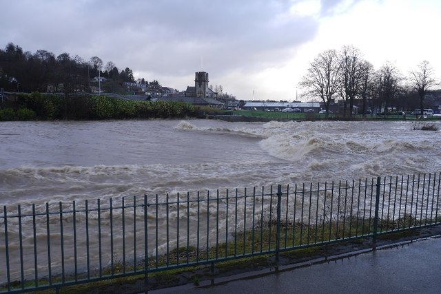
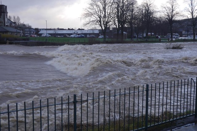
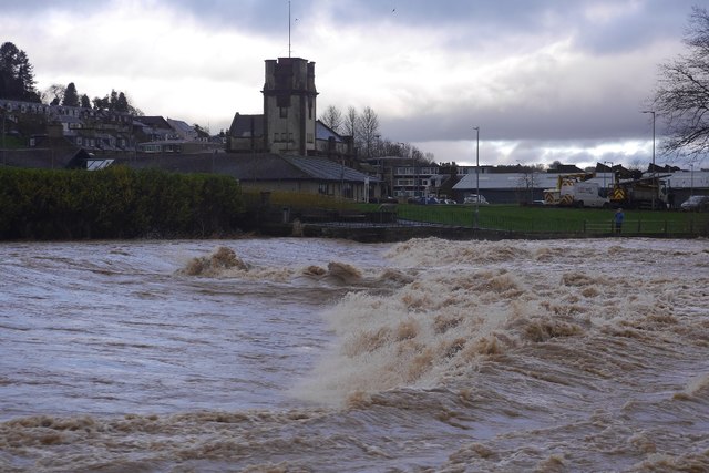
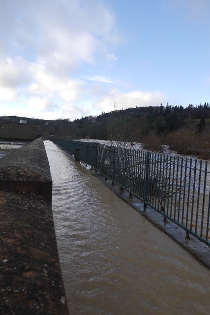
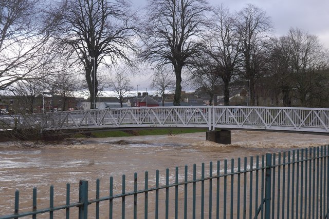
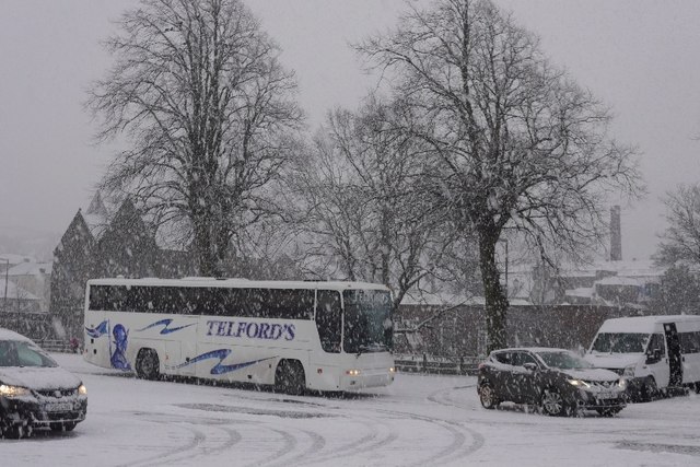
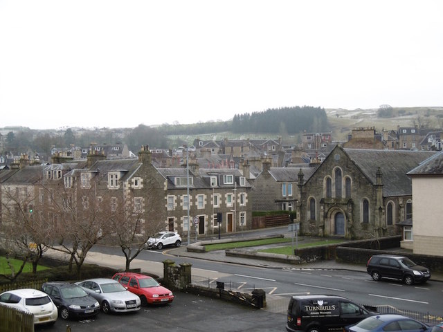
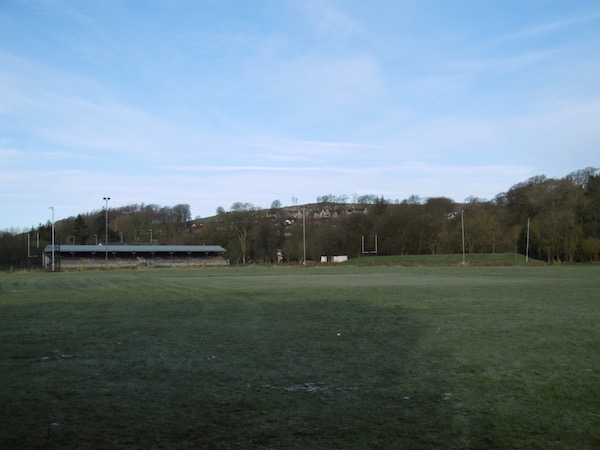
Images are sourced within 2km of 55.414664/-2.7844662 or Grid Reference NT5013. Thanks to Geograph Open Source API. All images are credited.

Hardie's Hill is located at Grid Ref: NT5013 (Lat: 55.414664, Lng: -2.7844662)
Unitary Authority: The Scottish Borders
Police Authority: The Lothians and Scottish Borders
What 3 Words
///apart.streamers.copycat. Near Hawick, Scottish Borders
Nearby Locations
Related Wikis

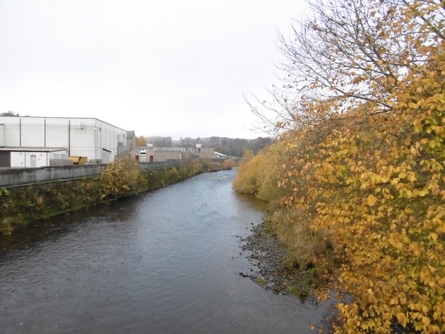
Slitrig Water
Slitrig Water (archaic Scots: Slitterick Waiter; current Southern Scots: Slitrig Witter), also known as the River Slitrig, is a river in the Scottish Borders...

Hawick
Hawick ( HOYK; Scots: Haaick; Scottish Gaelic: Hamhaig) is a town in the Scottish Borders council area and historic county of Roxburghshire in the east...

Hawick Town Hall
Hawick Town Hall is a municipal building in the High Street, Hawick, Scotland. The structure, which served as the meeting place of Hawick Burgh Council...

Hawick High School
Hawick High School is a non-denominational secondary school in Hawick, in the Scottish Borders. As well as serving the town, it also takes in pupils from...
Nearby Amenities
Located within 500m of 55.414664,-2.7844662Have you been to Hardie's Hill?
Leave your review of Hardie's Hill below (or comments, questions and feedback).