Worley Hill
Hill, Mountain in Somerset South Somerset
England
Worley Hill
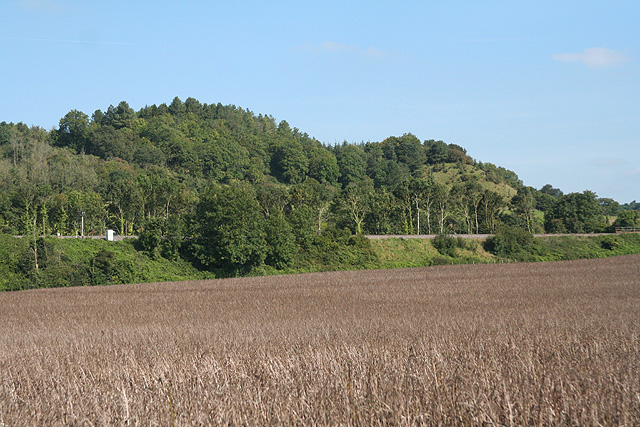
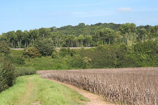
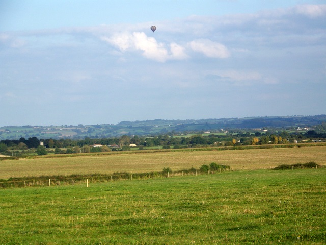
Worley Hill is a small hill located in the county of Somerset, England. With an elevation of approximately 200 meters (656 feet), it is not classified as a mountain but rather falls under the category of a hill. Situated in the southwestern part of England, Worley Hill is part of the picturesque landscape that characterizes the region.
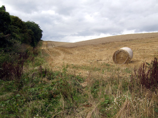
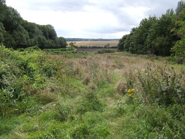
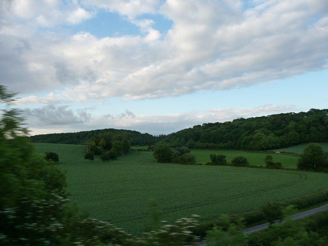
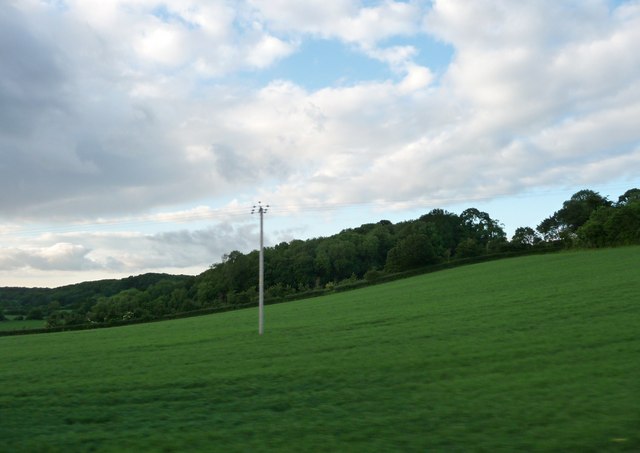
The hill is surrounded by lush greenery and offers stunning panoramic views of the surrounding countryside. It is covered in a variety of vegetation, including grasses, wildflowers, and some scattered trees. The terrain is relatively gentle, making it accessible for hikers and nature enthusiasts of all levels.
Worley Hill is a popular destination for outdoor activities such as hiking, birdwatching, and nature walks. It provides an excellent opportunity for visitors to immerse themselves in the natural beauty of Somerset. The hill is also home to a rich diversity of wildlife, including various species of birds, small mammals, and insects.
Due to its relatively low elevation, Worley Hill does not experience extreme weather conditions. However, like the rest of Somerset, it can be subject to rainfall throughout the year, which contributes to the lushness of its vegetation.
Overall, Worley Hill offers a tranquil and picturesque retreat for those seeking to escape the hustle and bustle of urban life. With its stunning views and diverse flora and fauna, it is a delightful destination for nature lovers and outdoor enthusiasts alike.
If you have any feedback on the listing, please let us know in the comments section below.
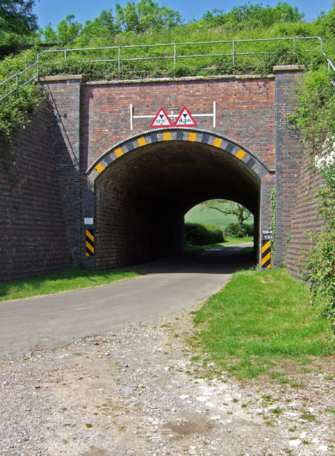
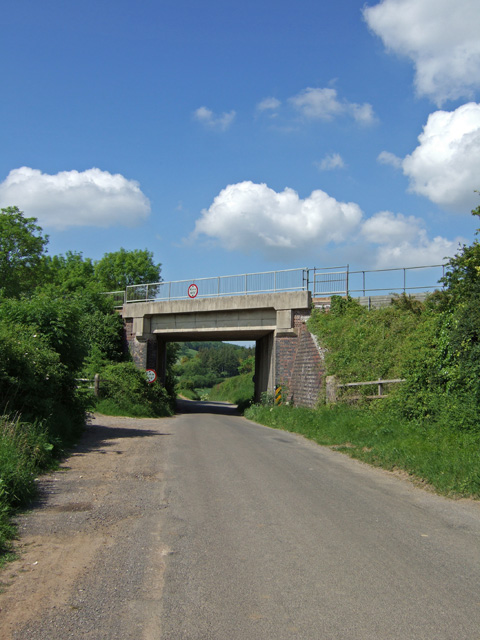
Worley Hill Images
Images are sourced within 2km of 51.072989/-2.7088733 or Grid Reference ST5030. Thanks to Geograph Open Source API. All images are credited.


Worley Hill is located at Grid Ref: ST5030 (Lat: 51.072989, Lng: -2.7088733)
Administrative County: Somerset
District: South Somerset
Police Authority: Avon and Somerset
What 3 Words
///green.hardening.solves. Near Street, Somerset
Nearby Locations
Related Wikis

Hurcott Farm
Hurcott Farm (grid reference ST511295) is a 26.3 hectare geological Site of Special Scientific Interest in Somerset, notified in 1993. At this site heavily...

Great Breach and Copley Woods
Great Breach and Copley Woods (grid reference ST500320) is a 64.8 hectare (160 acre) biological Site of Special Scientific Interest 1 km south of Compton...

Wessex (ward)
Wessex is an electoral ward of South Somerset District Council in Somerset, England. It is one of the wards that makes up the parliamentary constituency...

Somerton Viaduct
The Somerton Viaduct is a historic railway viaduct in the town of Somerton in Somerset, England. It is situated on the Langport and Castle Cary Railway...

Church of All Saints, Kingweston
The Anglican Church of All Saints in Kingweston, Somerset, England was rebuilt between 1852 and 1855 by Charles Edmund Giles. It is a Grade II* listed...
Kingweston
Kingweston is a village and civil parish in Somerset, England, situated on Combe Hill, 3 miles (4.8 km) north east of Somerton in the South Somerset district...

Church of St Michael and All Angels, Somerton
The Church of St Michael and All Angels in Somerton, Somerset, England dates from the 13th century and has been designated as a Grade I listed building...
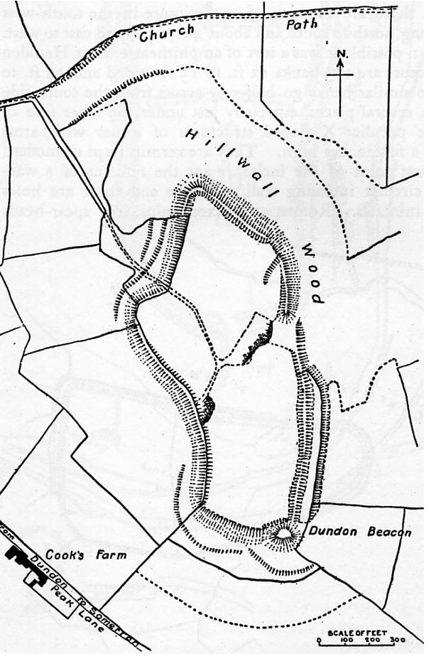
Dundon Hill Hillfort
Dundon Hill Hillfort is an Iron Age hillfort in Compton Dundon, Somerset, England. It has been designated as a Scheduled Ancient Monument. South east of...
Nearby Amenities
Located within 500m of 51.072989,-2.7088733Have you been to Worley Hill?
Leave your review of Worley Hill below (or comments, questions and feedback).