Copley Wood
Wood, Forest in Somerset Mendip
England
Copley Wood
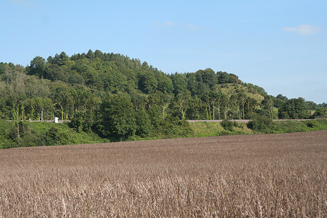
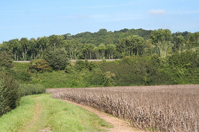
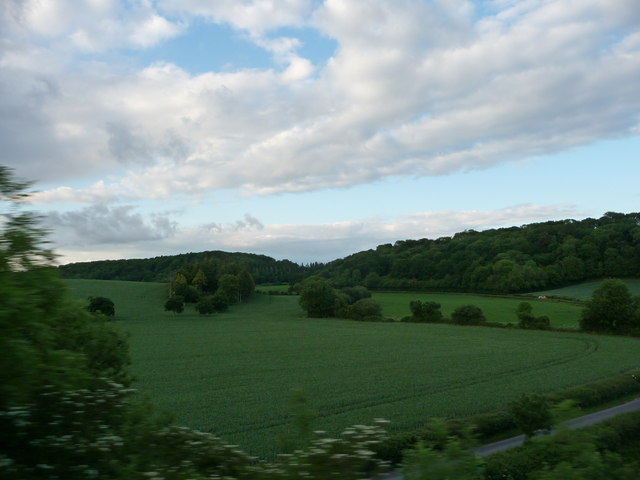
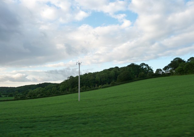
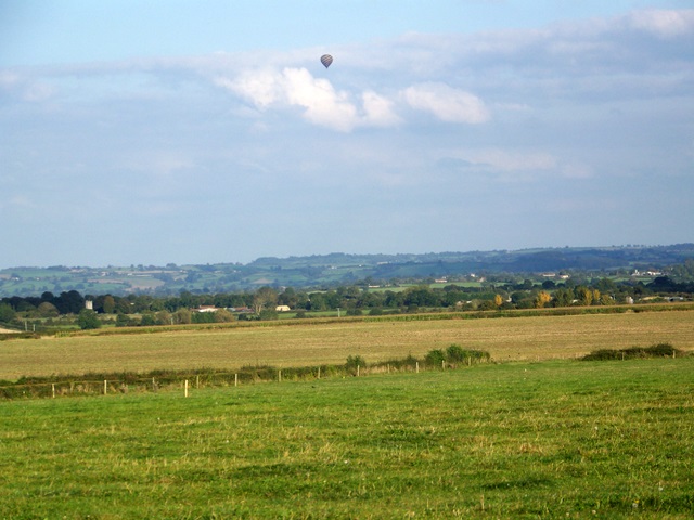
Copley Wood is a picturesque woodland area located in the county of Somerset, England. Situated near the village of Copley, it covers an expansive area of lush greenery and is known for its tranquil and serene atmosphere. The wood is a popular destination for nature lovers and outdoor enthusiasts, offering a range of activities and sights to explore.
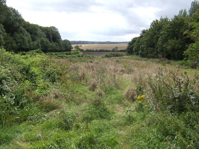
The woodland is predominantly composed of deciduous trees, including oak, beech, and ash, which create a vibrant and diverse ecosystem. The forest floor is adorned with a rich carpet of wildflowers and ferns, adding to the beauty of the surroundings. Copley Wood is home to a variety of wildlife, including deer, badgers, and numerous bird species that can be spotted by keen observers.
There are several well-maintained walking trails that wind through the wood, allowing visitors to fully immerse themselves in the natural beauty of the area. These trails offer different levels of difficulty, catering to both casual strollers and more experienced hikers. Along the way, visitors can enjoy breathtaking views of the surrounding countryside and may even stumble upon hidden streams and small ponds.
Copley Wood is a designated Site of Special Scientific Interest (SSSI), recognizing its ecological importance and the need for its preservation. As such, visitors are encouraged to respect the environment and adhere to any guidelines or restrictions in place to protect the wildlife and maintain the natural balance of the woodland.
Overall, Copley Wood offers a peaceful retreat from the hustle and bustle of everyday life, providing a haven for those seeking a connection with nature in the heart of Somerset.
If you have any feedback on the listing, please let us know in the comments section below.
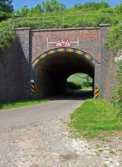
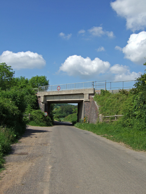
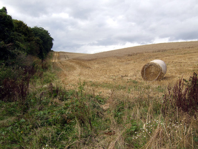
Copley Wood Images
Images are sourced within 2km of 51.073888/-2.7059752 or Grid Reference ST5030. Thanks to Geograph Open Source API. All images are credited.


Copley Wood is located at Grid Ref: ST5030 (Lat: 51.073888, Lng: -2.7059752)
Administrative County: Somerset
District: Mendip
Police Authority: Avon and Somerset
What 3 Words
///answers.trim.trickled. Near Street, Somerset
Nearby Locations
Related Wikis

Hurcott Farm
Hurcott Farm (grid reference ST511295) is a 26.3 hectare geological Site of Special Scientific Interest in Somerset, notified in 1993. At this site heavily...

Great Breach and Copley Woods
Great Breach and Copley Woods (grid reference ST500320) is a 64.8 hectare (160 acre) biological Site of Special Scientific Interest 1 km south of Compton...

Wessex (ward)
Wessex is an electoral ward of South Somerset District Council in Somerset, England. It is one of the wards that makes up the parliamentary constituency...

Church of All Saints, Kingweston
The Anglican Church of All Saints in Kingweston, Somerset, England was rebuilt between 1852 and 1855 by Charles Edmund Giles. It is a Grade II* listed...
Kingweston
Kingweston is a village and civil parish in Somerset, England, situated on Combe Hill, 3 miles (4.8 km) north east of Somerton in the South Somerset district...

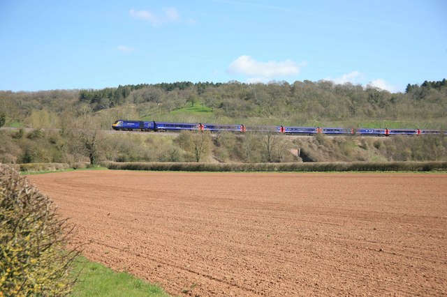
Somerton Viaduct
The Somerton Viaduct is a historic railway viaduct in the town of Somerton in Somerset, England. It is situated on the Langport and Castle Cary Railway...

New Ditch
New Ditch is a linear earthwork of possible Iron Age or Medieval construction. It partially crosses the Polden Hills in woodlands approximately 1.1 miles...
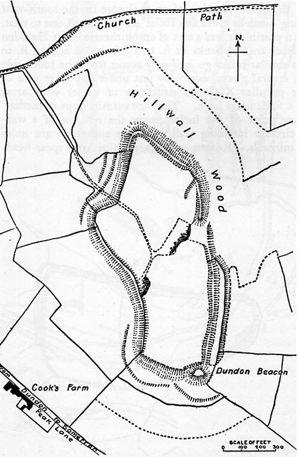
Dundon Hill Hillfort
Dundon Hill Hillfort is an Iron Age hillfort in Compton Dundon, Somerset, England. It has been designated as a Scheduled Ancient Monument. South east of...
Nearby Amenities
Located within 500m of 51.073888,-2.7059752Have you been to Copley Wood?
Leave your review of Copley Wood below (or comments, questions and feedback).