Aikieside Hill
Hill, Mountain in East Lothian
Scotland
Aikieside Hill
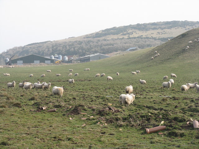
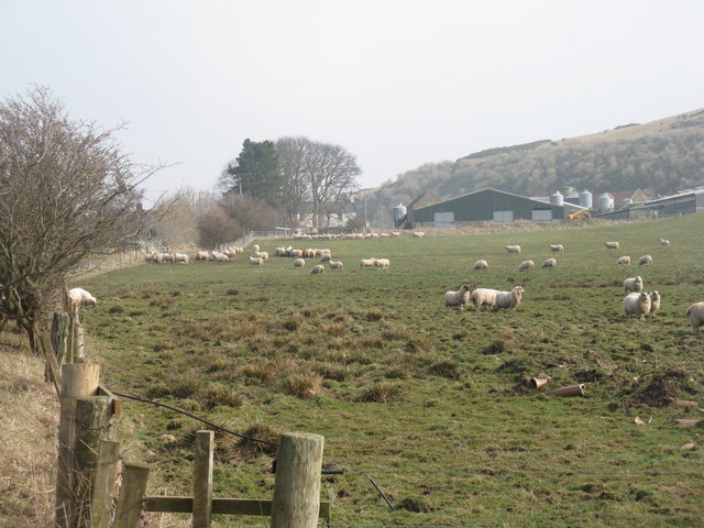
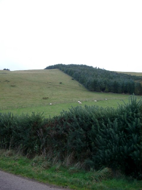
Aikieside Hill is a prominent hill located in East Lothian, Scotland. Situated in the southern area of the county, it is part of the Lammermuir Hills range, known for its picturesque landscapes and rolling hills. Aikieside Hill stands at an elevation of approximately 405 meters (1,328 feet), making it a notable landmark in the region.
The hill offers breathtaking panoramic views of the surrounding countryside, with its summit providing an ideal vantage point for nature enthusiasts and hikers alike. The terrain consists of a mixture of grassy slopes and heather-covered moorland, contributing to the area's natural beauty and biodiversity.
Aikieside Hill is a popular destination for outdoor activities such as hill walking, birdwatching, and photography. The diverse fauna and flora found in the vicinity make it an attractive spot for nature lovers, with sightings of various bird species including grouse and skylarks being common.
Access to the hill is mainly through well-maintained footpaths and trails, ensuring a safe and enjoyable experience for visitors. The surrounding countryside offers ample parking facilities and picnic areas, making it an ideal location for day trips or longer hikes.
Overall, Aikieside Hill in East Lothian is a stunning natural landmark that showcases the beauty of the Scottish countryside. With its panoramic views, varied wildlife, and accessible trails, it is a must-visit destination for those seeking outdoor exploration and a connection with nature.
If you have any feedback on the listing, please let us know in the comments section below.
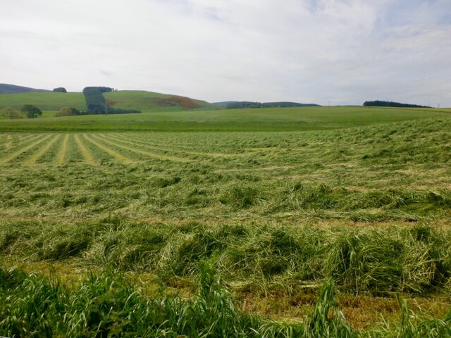
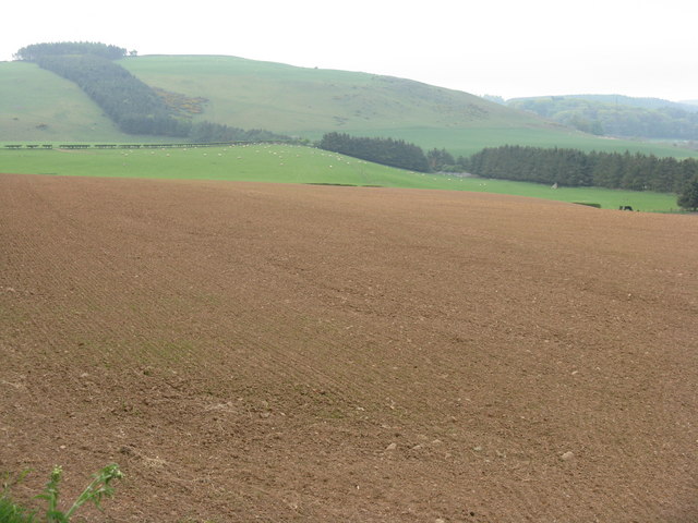
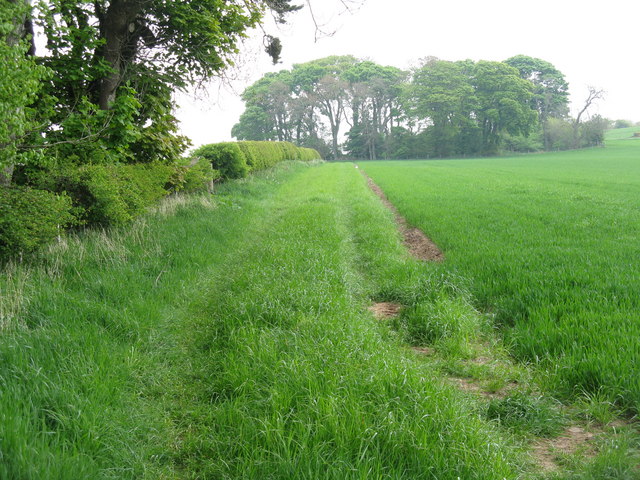
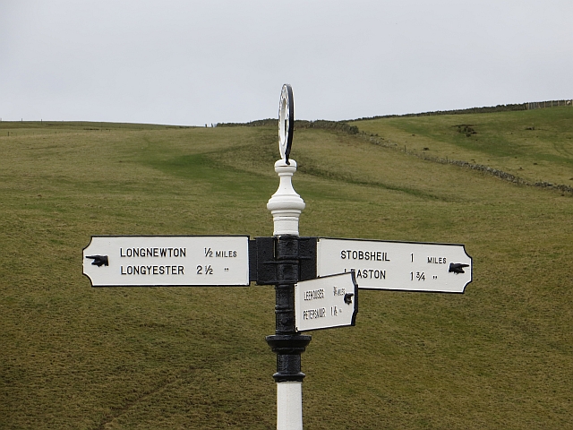
Aikieside Hill Images
Images are sourced within 2km of 55.861755/-2.7958831 or Grid Reference NT5063. Thanks to Geograph Open Source API. All images are credited.


Aikieside Hill is located at Grid Ref: NT5063 (Lat: 55.861755, Lng: -2.7958831)
Unitary Authority: East Lothian
Police Authority: The Lothians and Scottish Borders
What 3 Words
///expand.dampen.mows. Near Pencaitland, East Lothian
Nearby Locations
Related Wikis

Humbie railway station
Humbie railway station served the civil parish of Humbie, East Lothian, Scotland, from 1901 to 1933 on the Macmerry Branch. == History == The station was...
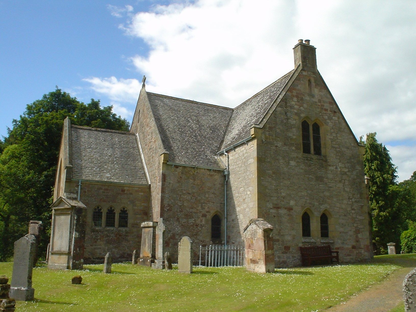
Humbie Parish Church
Humbie Parish Church is a church in the small village of Humbie, East Lothian, Scotland. It is part of the Church of Scotland, and is a linked charge which...

Humbie
Humbie is a hamlet and rural parish in East Lothian, Scotland lying in south-east of the county, approximately 10 miles (16 km) south-west of Haddington...

Hopes Reservoir
Hopes Reservoir is a small reservoir in East Lothian, Scotland, in the Lammermuir Hills. It is located in the parish of Yester, 6 km (3.7 mi) south of...
Nearby Amenities
Located within 500m of 55.861755,-2.7958831Have you been to Aikieside Hill?
Leave your review of Aikieside Hill below (or comments, questions and feedback).