Aikieside Wood
Wood, Forest in East Lothian
Scotland
Aikieside Wood
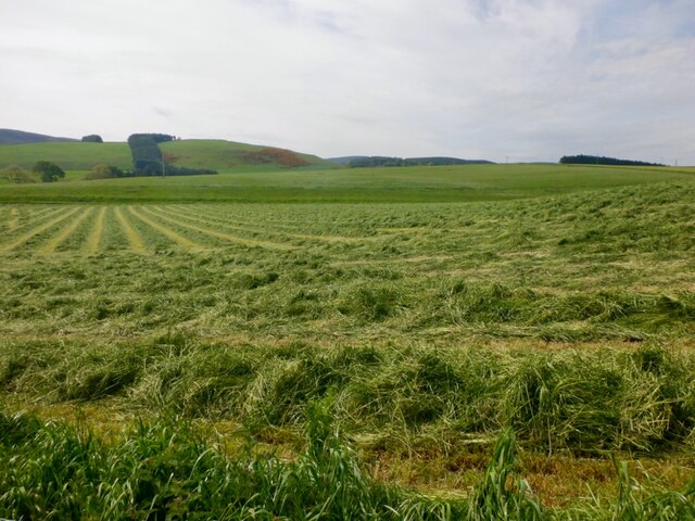
Aikieside Wood is a picturesque woodland located in East Lothian, Scotland. Covering an area of approximately 100 hectares, this enchanting forest is renowned for its diverse array of flora and fauna, making it a popular destination for nature enthusiasts and hikers alike.
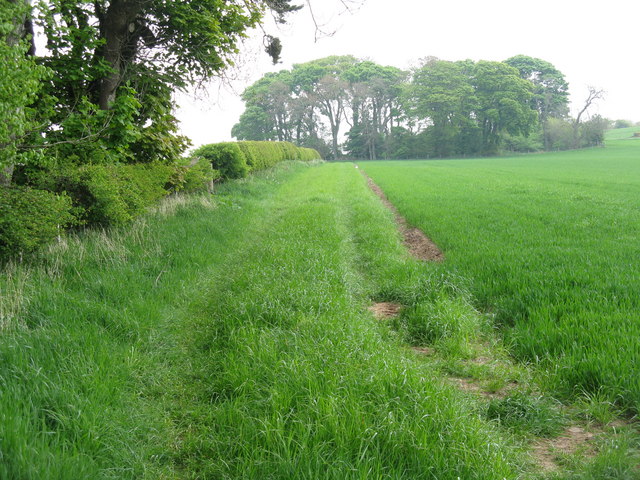
The woodland is predominantly made up of native broadleaf trees, including oak, ash, and beech, which create a stunning canopy overhead. These trees provide a habitat for various bird species, such as woodpeckers and owls, as well as small mammals like squirrels and deer.
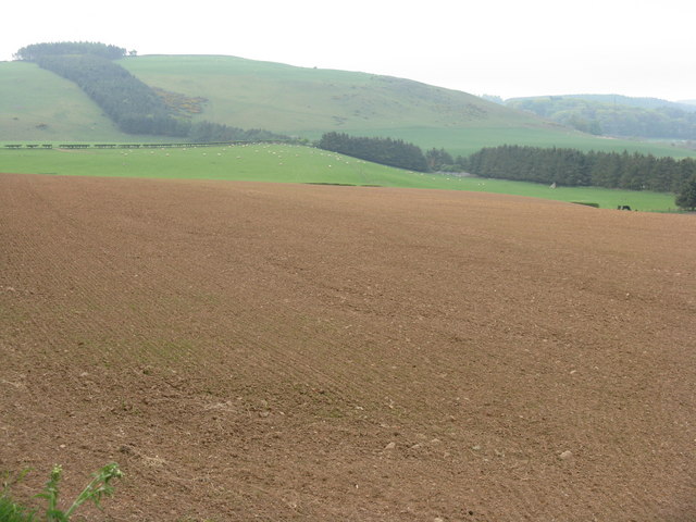
A network of well-maintained trails winds its way through Aikieside Wood, offering visitors the opportunity to explore its tranquil surroundings. The paths range in difficulty, catering to both casual strollers and experienced hikers. Along the way, walkers are treated to breathtaking views of the surrounding countryside and the nearby Lammermuir Hills.
In addition to its natural beauty, Aikieside Wood also holds historical significance. The wood was once used as a timber resource and evidence of old sawpits can still be found scattered throughout the area. Furthermore, remnants of an ancient hill fort, known as the Aikieside Fort, can be discovered within the woodland, providing visitors with a glimpse into the region's rich past.
Overall, Aikieside Wood is a captivating destination that offers a harmonious blend of natural beauty, recreational opportunities, and historical intrigue. Whether one seeks solitude in nature, a peaceful stroll, or an exploration of the area's heritage, this woodland provides a fulfilling experience for all who visit.
If you have any feedback on the listing, please let us know in the comments section below.
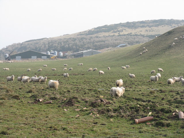
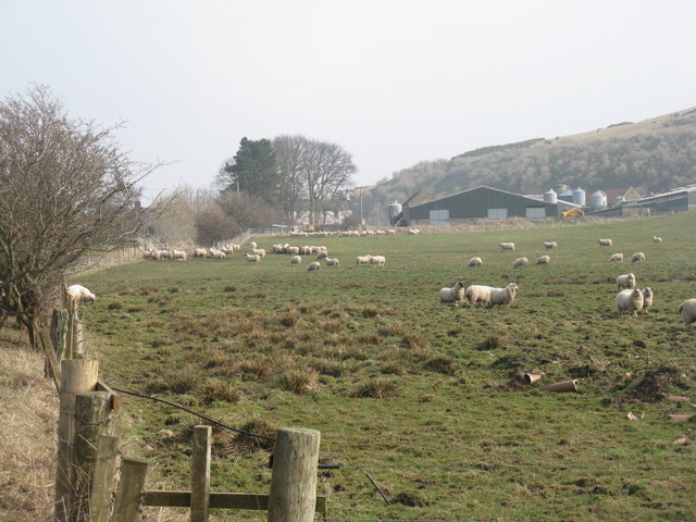
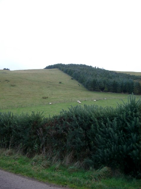
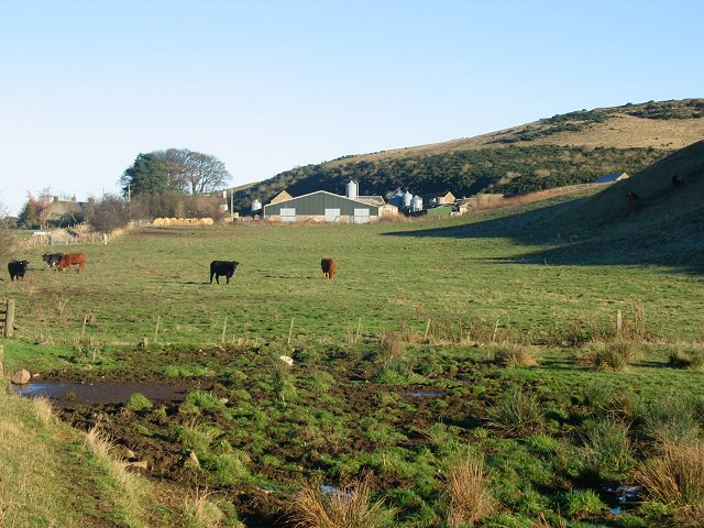
Aikieside Wood Images
Images are sourced within 2km of 55.860579/-2.7998213 or Grid Reference NT5063. Thanks to Geograph Open Source API. All images are credited.


Aikieside Wood is located at Grid Ref: NT5063 (Lat: 55.860579, Lng: -2.7998213)
Unitary Authority: East Lothian
Police Authority: The Lothians and Scottish Borders
What 3 Words
///varieties.hulk.depending. Near Pencaitland, East Lothian
Nearby Locations
Related Wikis

Humbie railway station
Humbie railway station served the civil parish of Humbie, East Lothian, Scotland, from 1901 to 1933 on the Macmerry Branch. == History == The station was...
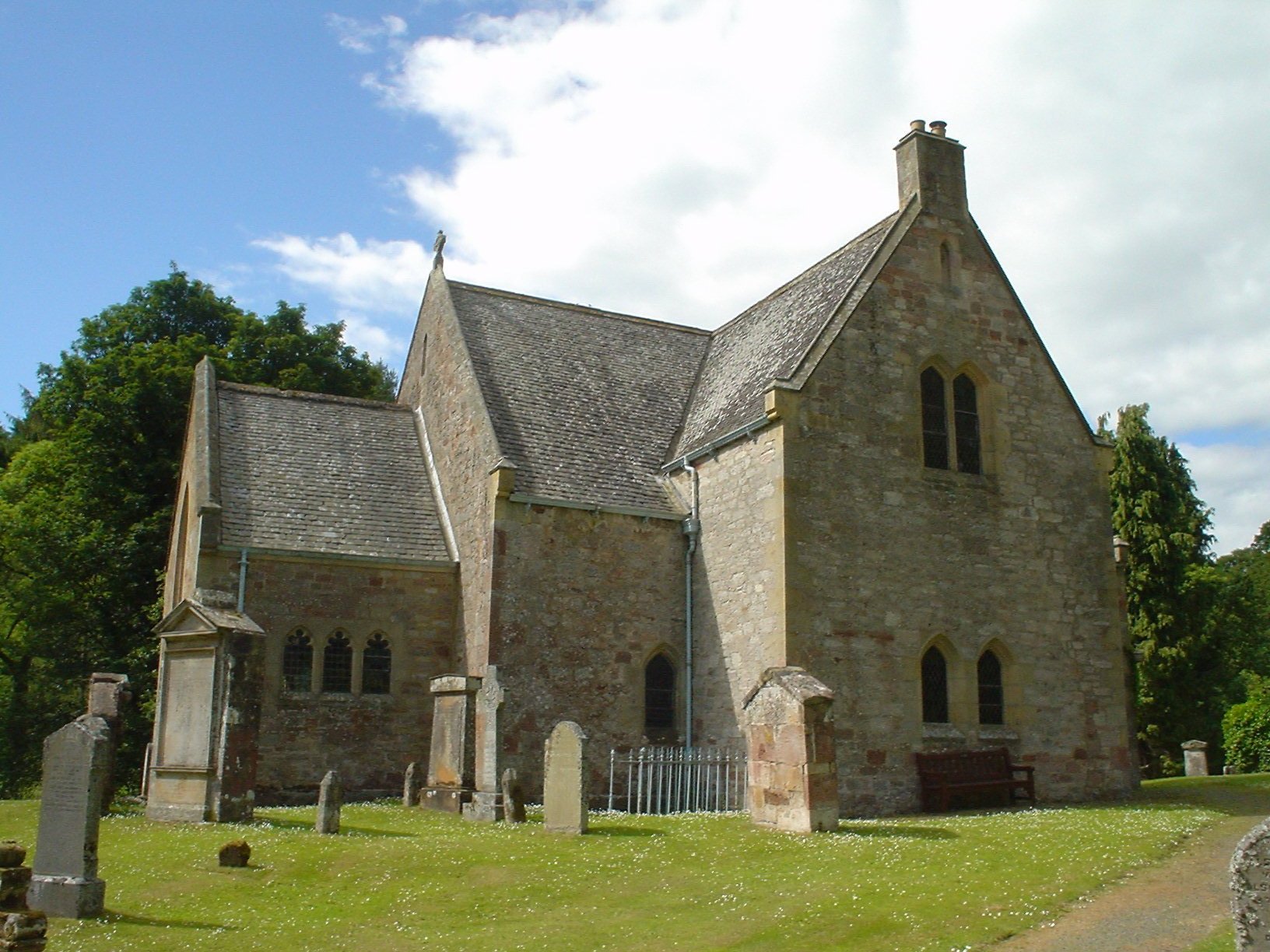
Humbie Parish Church
Humbie Parish Church is a church in the small village of Humbie, East Lothian, Scotland. It is part of the Church of Scotland, and is a linked charge which...

Humbie
Humbie is a hamlet and rural parish in East Lothian, Scotland lying in south-east of the county, approximately 10 miles (16 km) south-west of Haddington...

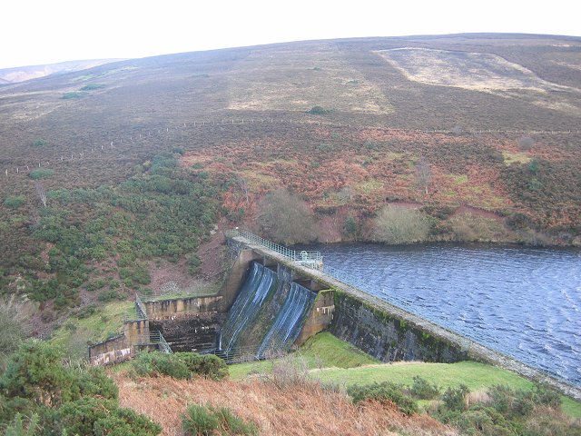
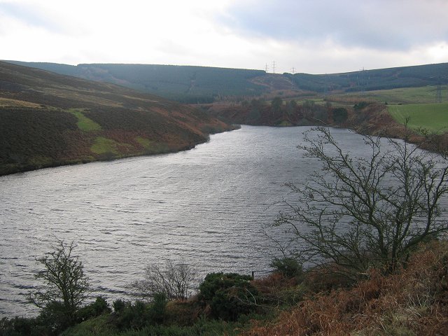
Hopes Reservoir
Hopes Reservoir is a small reservoir in East Lothian, Scotland, in the Lammermuir Hills. It is located in the parish of Yester, 6 km (3.7 mi) south of...

Lammermuir Hills
The Lammermuirs are a range of hills in southern Scotland, forming a natural boundary between East Lothian and the Borders. The name "Lammermuir" comes...

Saltoun Parish Church
Saltoun Parish Church is a church in East Saltoun, East Lothian, Scotland. It is part of the Church of Scotland, and (along with Yester Church and Bolton...
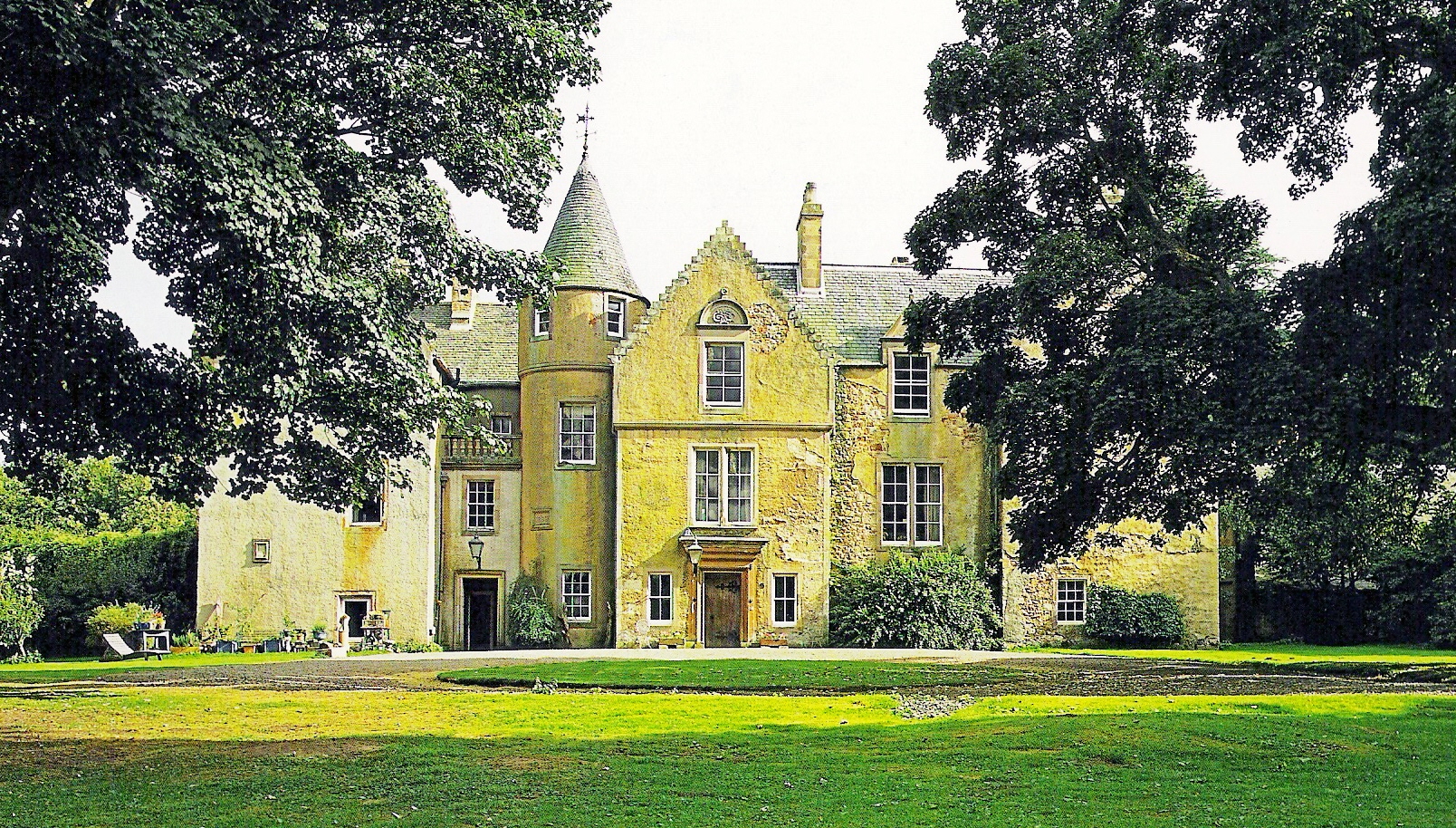
Keith Marischal
Keith Marischal is a Scottish Baronial Country house lying in the parish of Humbie, East Lothian, Scotland. The original building was an "L-shaped" Tower...

East Saltoun and West Saltoun
East Saltoun and West Saltoun are separate villages in East Lothian, Scotland, about 5 miles (8.0 kilometres) south-west of Haddington and 20 miles (32...
Nearby Amenities
Located within 500m of 55.860579,-2.7998213Have you been to Aikieside Wood?
Leave your review of Aikieside Wood below (or comments, questions and feedback).