Ancrow Brow

Hill, Mountain in Westmorland South Lakeland

England

Ancrow Brow

Moorland below Ancrow Brow Seen from the Bannisdale Horseshoe, which creeps into hectad NY40 by just a few metres.
Moorland below Ancrow Brow Credit: David Purchase

Ancrow Brow is a prominent hill located in the county of Westmorland, England. Situated in the Lake District National Park, it offers breathtaking views of the surrounding countryside and is a popular destination for hikers and nature enthusiasts.

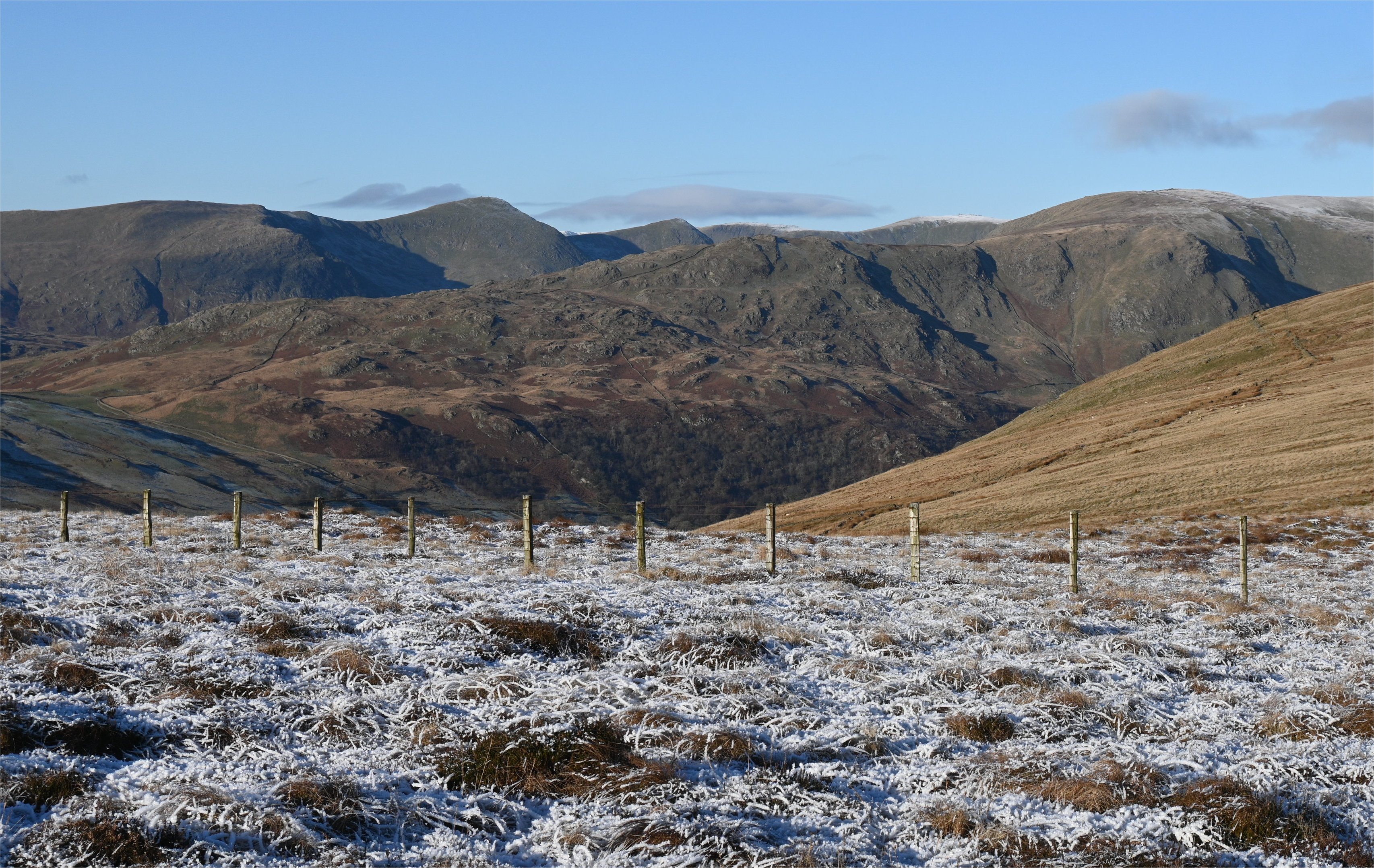
Rising to an elevation of approximately 520 meters (1,706 feet), Ancrow Brow is classified as a hill rather than a mountain, but its impressive height and rugged terrain make it a challenging climb nonetheless. The hill is part of the larger range known as the Eastern Fells, which includes several other notable peaks such as Place Fell and Angletarn Pikes.

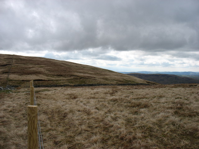
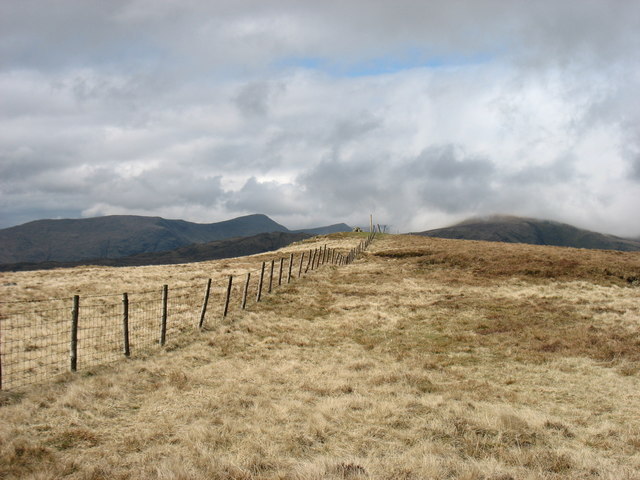
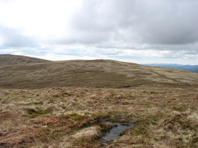
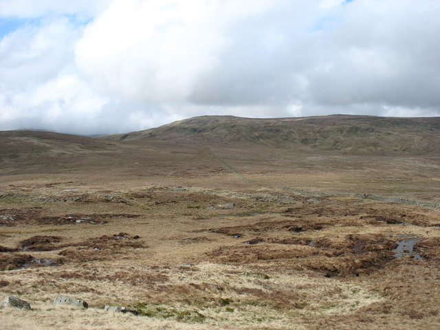
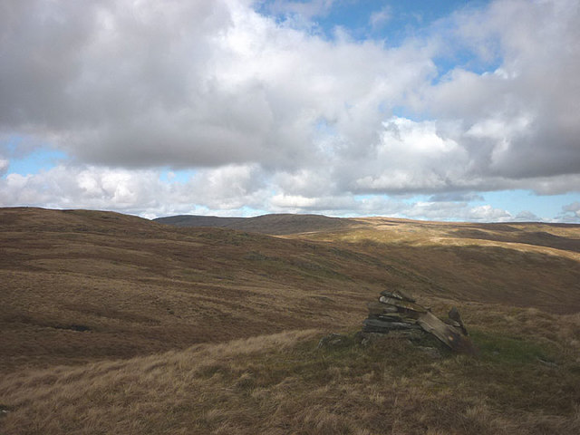
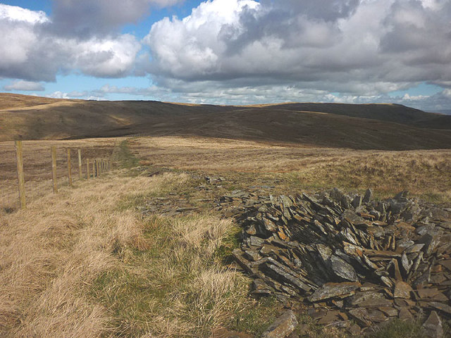
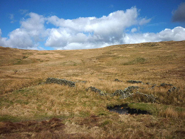
Ancrow Brow is characterized by its steep slopes, covered in a patchwork of heather, grasses, and rocky outcrops. The terrain is relatively wild and untamed, with no designated paths or trails, adding to its allure for those seeking a more rugged hiking experience. However, due to its challenging nature, it is recommended that hikers be properly equipped and experienced before attempting the ascent.

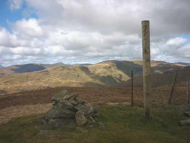
From the summit of Ancrow Brow, visitors are rewarded with panoramic views of the surrounding landscape, including the picturesque Ullswater Lake to the east and the dramatic Helvellyn range to the west. On clear days, it is even possible to see as far as the Solway Firth and the Scottish border.

Ancrow Brow is a true gem within the Lake District, offering a memorable outdoor experience for those who venture to its summit.

If you have any feedback on the listing, please let us know in the comments section below.
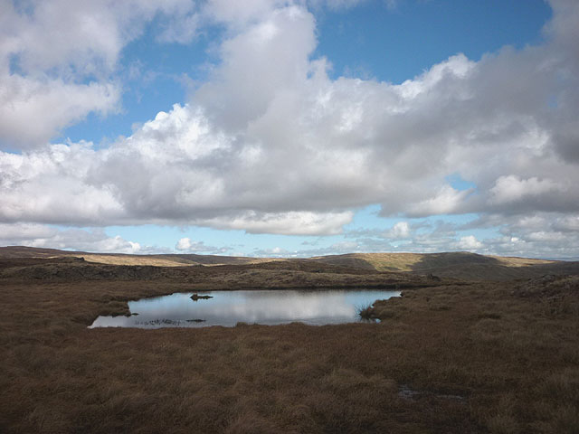
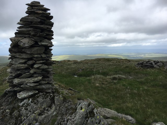
Ancrow Brow Images

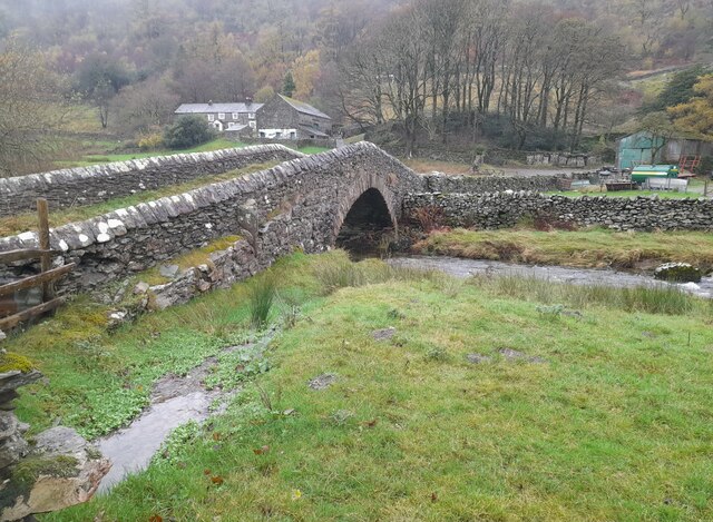
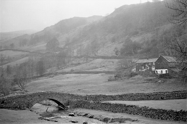
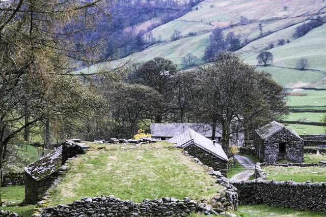
Images are sourced within 2km of 54.44619/-2.7681799 or Grid Reference NY5005. Thanks to Geograph Open Source API. All images are credited.

Moorland below Ancrow Brow Seen from the Bannisdale Horseshoe, which creeps into hectad NY40 by just a few metres.
Moorland below Ancrow Brow
Seen from the Bannisdale Horseshoe, which creeps into hectad NY40 by just a few metres.
Sadgill Bridge Sadgill Bridge over the River Sprint.
Sadgill Bridge
Sadgill Bridge over the River Sprint.
Sadgill Bridge The bridge spans the River Sprint. Low Sadghyll is on the right.
Sadgill Bridge
The bridge spans the River Sprint. Low Sadghyll is on the right.
Lime kiln and other buildings in Stockdale The view is across the top of the disused kiln towards other buildings in the small settlement of Stockdale in Longsleddale.
Lime kiln and other buildings in Stockdale
The view is across the top of the disused kiln towards other buildings in the small settlement of Stockdale in Longsleddale.
On Lord's Seat Looking down Borrowdale
On Lord's Seat
Looking down Borrowdale
Swinklebank Crag Top The highest point on the Bannisdale Horseshoe.
Swinklebank Crag Top
The highest point on the Bannisdale Horseshoe.
Ancrow Brow from its North top Swinklebank Crag Top is to the left. The Bannisdale Horseshoe crosses all these hills.
Ancrow Brow from its North top
Swinklebank Crag Top is to the left. The Bannisdale Horseshoe crosses all these hills.
Borrowdale Moss from Long Crag Sleddale Fell is on the horizon. This photo is taken from the spot that Wainwright identified as Long Crag on the Bannisdale Horseshoe, not the 493m point which is the highest point of Bannisdale Fell.
Borrowdale Moss from Long Crag
Sleddale Fell is on the horizon. This photo is taken from the spot that Wainwright identified as Long Crag on the Bannisdale Horseshoe, not the 493m point which is the highest point of Bannisdale Fell.
Harrop Pike
Harrop Pike
Small cairn on minor top south of Swinklebank Crag An anonymous pile on an anonymous knoll.
Small cairn on minor top south of Swinklebank Crag
An anonymous pile on an anonymous knoll.
Unnamed tarn on Swinklebank Crag Needless to say, the ground here is very boggy unlike the drier going over the summit just to the north.
Unnamed tarn on Swinklebank Crag
Needless to say, the ground here is very boggy unlike the drier going over the summit just to the north.
Summit of Swinklebank Crag A sturdy new fence post adorns the top suggesting that a new fence may be in the offing? The summit gives a good view of the more rugged fells around the heads of Longsleddale and Kentmere.
Summit of Swinklebank Crag
A sturdy new fence post adorns the top suggesting that a new fence may be in the offing? The summit gives a good view of the more rugged fells around the heads of Longsleddale and Kentmere.
Fence and old wall, Ancrow Brow If the wall ever stood upright it has been virtually obliterated now.
Fence and old wall, Ancrow Brow
If the wall ever stood upright it has been virtually obliterated now.
Ruined fold, Bannisdale Beck Judging by its location beside the beck it would appear to have been a washfold.
Ruined fold, Bannisdale Beck
Judging by its location beside the beck it would appear to have been a washfold.
Harrop Pike Summit Cairn of Harrop Pike
Harrop Pike
Summit Cairn of Harrop Pike
Walls on Bannisdale Fell
Mere Crag
Mere Crag
Ancient wall near Ancrow Brow
Show me another place!

Ancrow Brow is located at Grid Ref: NY5005 (Lat: 54.44619, Lng: -2.7681799)

Administrative County: Cumbria

District: South Lakeland

Police Authority: Cumbria

What 3 Words

///boarding.examples.detergent. Near Staveley, Cumbria

Nearby Locations

Ancrow Brow

Related Wikis

Nearby Amenities

Located within 500m of 54.44619,-2.7681799
Mere Crag
Place: locality
Lat/Long: 54.4476071/-2.7690387
The data included in this document is from www.openstreetmap.org. The data is made available under ODbL.

Have you been to Ancrow Brow?

Leave your review of Ancrow Brow below (or comments, questions and feedback).