Hurcot Hill
Hill, Mountain in Somerset South Somerset
England
Hurcot Hill
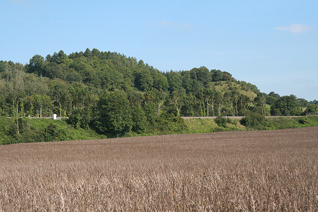
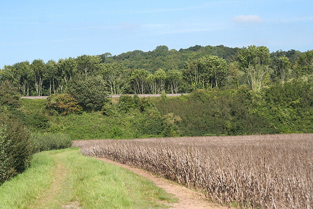
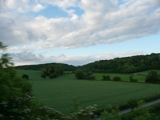
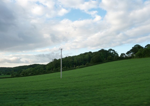
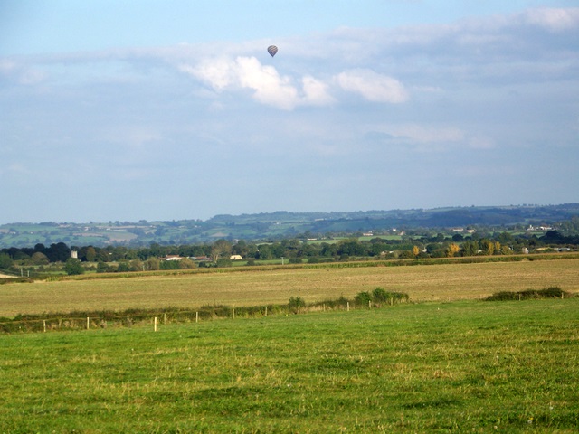
Hurcot Hill is a prominent hill located in Somerset, England. Situated in the Mendip Hills Area of Outstanding Natural Beauty, it offers breathtaking panoramic views of the surrounding countryside. With an elevation of approximately 200 meters, it stands as one of the notable peaks in the region.
The hill is characterized by its lush green slopes, which are covered in a variety of vegetation, including grass, shrubs, and trees. The rich biodiversity of the area attracts a range of wildlife, making it a popular spot for nature enthusiasts and photographers.
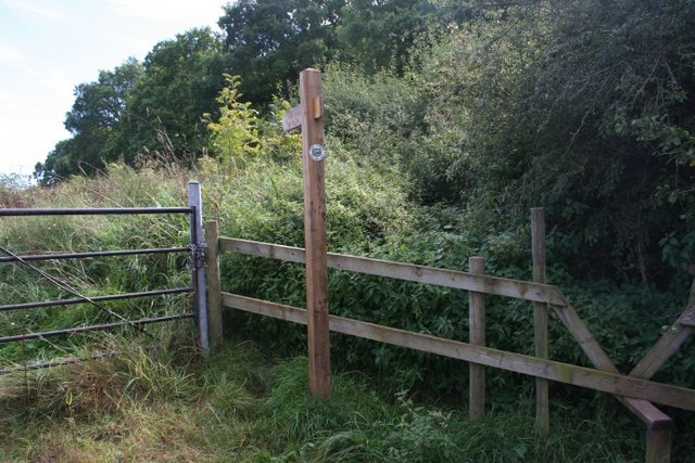
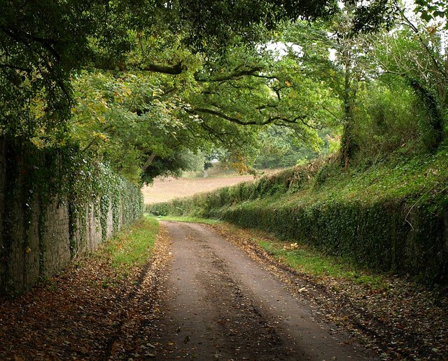
Hurcot Hill is easily accessible, with several footpaths and trails leading to its summit. These paths provide visitors with the opportunity to explore the area and enjoy its natural beauty. At the top of the hill, there is a designated viewpoint that offers stunning vistas of the Somerset Levels, the Bristol Channel, and the rolling hills of the Mendips.
The hill also has historical significance, with evidence of human activity dating back to the Neolithic period. Archaeological finds, such as flint tools and burial mounds, have been discovered in the vicinity, adding to its cultural importance.
For those seeking outdoor activities, Hurcot Hill provides ample opportunities for walking, hiking, and picnicking. Its picturesque setting and tranquil atmosphere make it an ideal destination for those looking to escape the hustle and bustle of everyday life.
Overall, Hurcot Hill is a beautiful and historically significant landmark in Somerset, offering visitors a chance to immerse themselves in nature and admire the stunning vistas it provides.
If you have any feedback on the listing, please let us know in the comments section below.
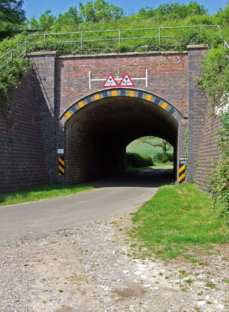
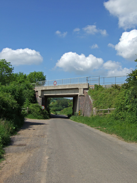
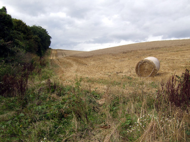
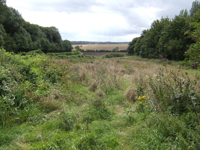
Hurcot Hill Images
Images are sourced within 2km of 51.065554/-2.7115282 or Grid Reference ST5029. Thanks to Geograph Open Source API. All images are credited.


Hurcot Hill is located at Grid Ref: ST5029 (Lat: 51.065554, Lng: -2.7115282)
Administrative County: Somerset
District: South Somerset
Police Authority: Avon and Somerset
What 3 Words
///underway.intention.bared. Near Street, Somerset
Nearby Locations
Related Wikis

Hurcott Farm
Hurcott Farm (grid reference ST511295) is a 26.3 hectare geological Site of Special Scientific Interest in Somerset, notified in 1993. At this site heavily...

Somerton Viaduct
The Somerton Viaduct is a historic railway viaduct in the town of Somerton in Somerset, England. It is situated on the Langport and Castle Cary Railway...

Wessex (ward)
Wessex is an electoral ward of South Somerset District Council in Somerset, England. It is one of the wards that makes up the parliamentary constituency...

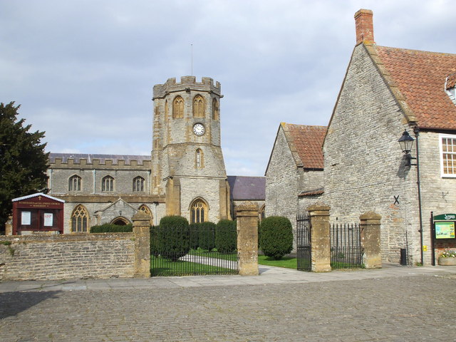
Church of St Michael and All Angels, Somerton
The Church of St Michael and All Angels in Somerton, Somerset, England dates from the 13th century and has been designated as a Grade I listed building...

Old Town Hall, Somerton
The Old Town Hall is a municipal building in the Market Place in Somerton, Somerset, England. The building, which is used as an arts centre, is a Grade...
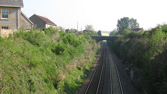
Somerton railway station
Somerton railway station (not to be confused with Fritwell & Somerton) was a railway station situated on the Great Western Railway's Langport and Castle...
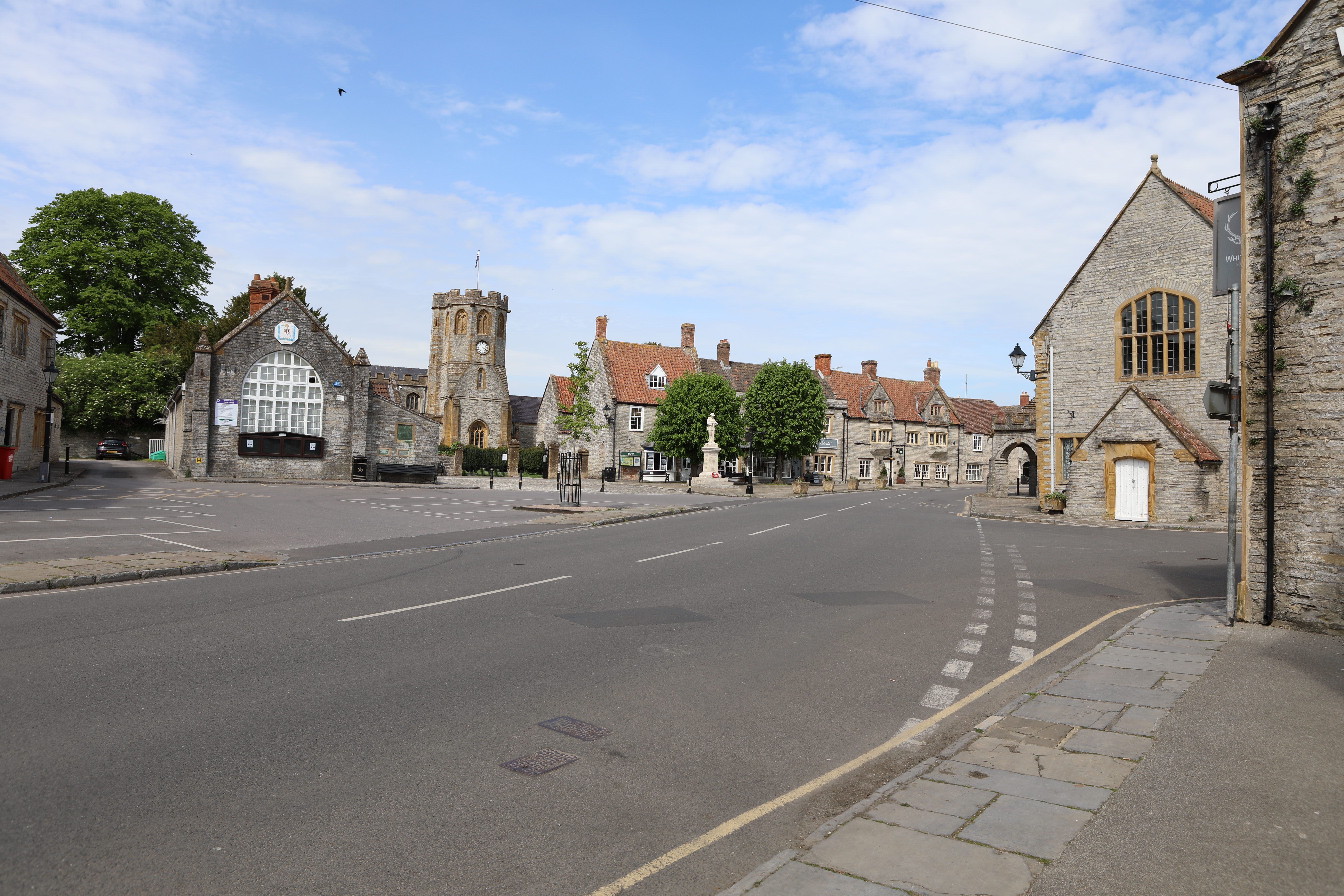
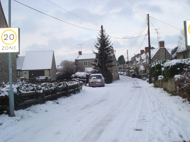
Somerton, Somerset
Somerton ( SUM-ər-tən) is a town and civil parish in the English county of Somerset. It gave its name to the county and was briefly, around the start of...

Great Breach and Copley Woods
Great Breach and Copley Woods (grid reference ST500320) is a 64.8 hectare (160 acre) biological Site of Special Scientific Interest 1 km south of Compton...
Nearby Amenities
Located within 500m of 51.065554,-2.7115282Have you been to Hurcot Hill?
Leave your review of Hurcot Hill below (or comments, questions and feedback).