Balnagowan Hill
Hill, Mountain in Aberdeenshire
Scotland
Balnagowan Hill

Balnagowan Hill is a prominent landmark located in Aberdeenshire, Scotland. It is situated near the village of Kildrummy, approximately 40 miles west of Aberdeen. Rising to an elevation of 417 meters (1,368 feet), Balnagowan Hill is classified as a hill rather than a mountain.
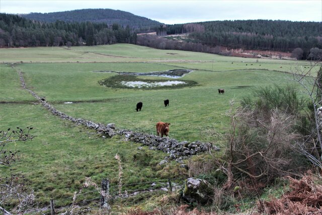
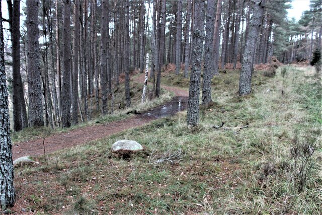
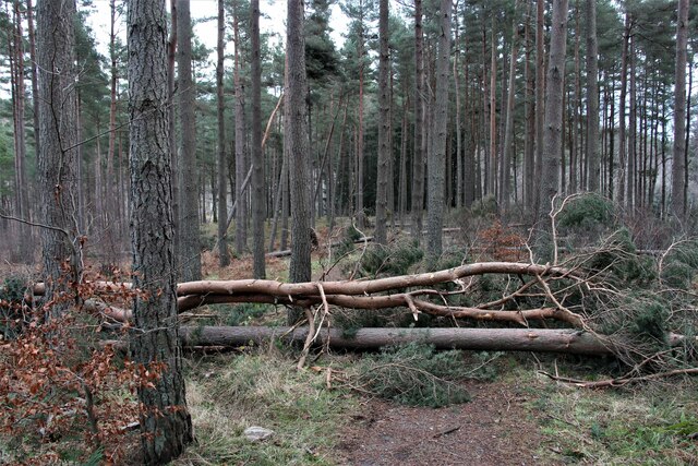
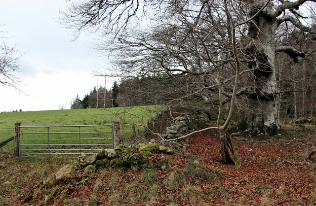
The hill is known for its distinctive conical shape, with a gentle slope on one side and a steeper incline on the other. It is covered in heather, grass, and scattered patches of woodland, creating a picturesque landscape throughout the year. The hill offers breathtaking panoramic views of the surrounding countryside, including the Grampian Mountains and the River Don Valley.
Balnagowan Hill is a popular destination for outdoor enthusiasts and nature lovers. It provides various opportunities for recreational activities such as hiking, walking, and birdwatching. The hill is home to a diverse range of wildlife, including red deer, hares, and numerous bird species.
At the foot of the hill, there is a car park and a designated walking trail that leads to the summit. The trail is well-marked and suitable for all levels of fitness, although the steeper sections require some effort. Along the way, visitors can enjoy the peaceful atmosphere and observe the flora and fauna that thrive in this natural habitat.
Balnagowan Hill offers a tranquil escape from the hustle and bustle of urban life, allowing visitors to connect with nature and enjoy the beauty of the Aberdeenshire countryside.
If you have any feedback on the listing, please let us know in the comments section below.
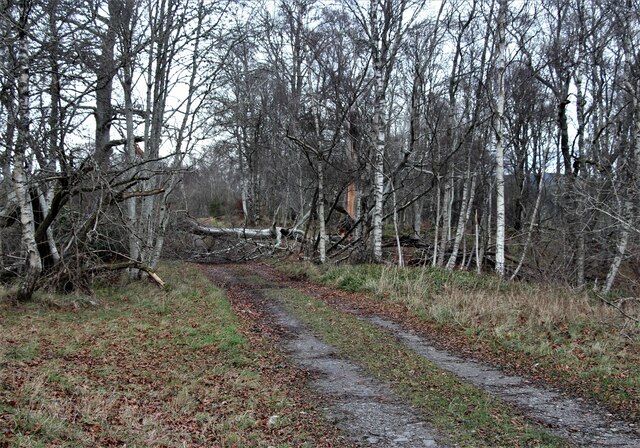
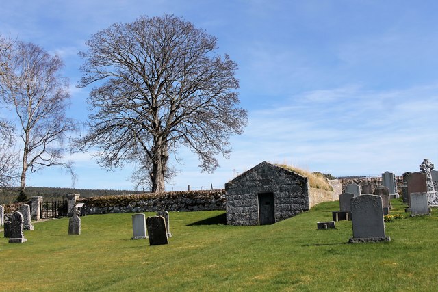
Balnagowan Hill Images
Images are sourced within 2km of 57.095127/-2.8228398 or Grid Reference NJ5000. Thanks to Geograph Open Source API. All images are credited.


Balnagowan Hill is located at Grid Ref: NJ5000 (Lat: 57.095127, Lng: -2.8228398)
Unitary Authority: Aberdeenshire
Police Authority: North East
What 3 Words
///wealth.rips.headlines. Near Aboyne, Aberdeenshire
Nearby Locations
Related Wikis

Coull Castle
Coull Castle was a 13th-century castle to the south of Coull, Aberdeenshire, Scotland. == History == The castle occupies an important and commanding position...
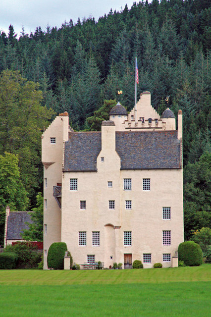
Aboyne Castle
Aboyne Castle is a 13th-century castle in Aberdeenshire, Scotland 0.75 mi (1.21 km) north of the town of Aboyne (Grid Reference NO5299). The location...

Aboyne Academy
Aboyne Academy is a secondary school in Aboyne, Aberdeenshire, Scotland. The school is located on the Western side of the village and serves many other...

Tomnaverie stone circle
Tomnaverie stone circle is a recumbent stone circle set on the top of a small hill in lowland northeast Scotland. Construction started from about 2500...
Related Videos

Coull Kirk in The Howe of Cromar, Aberdeenshire
A visit to the historic kirk at Coull. This is an updated version of our original film and includes film of the interior of the church.
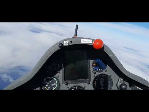
Diamond Height in my ASW-20L G-CHEO (FU)
Attaining My Diamond Height in my ASW-20L G-CHEO (FU). From Deeside Gliding Club, Aboyne, Scotland.

Flight Over Royal Deeside In My ASW-20L G-CHEO (FU)
Flight Over Royal Deeside In My ASW-20L G-CHEO (FU) From Deeside Gliding Club, Aboyne, Scotland.
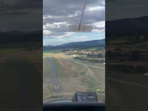
Something sweet about landings
Glider flight landing Aboyne Scotland - Deeside Gliding club Instrutor flight. #flight #aviation #scotland #afro.
Nearby Amenities
Located within 500m of 57.095127,-2.8228398Have you been to Balnagowan Hill?
Leave your review of Balnagowan Hill below (or comments, questions and feedback).