Hurcot

Settlement in Somerset South Somerset

England

Hurcot

Hurcott Cottage Railway Bridge - Hurcott
Hurcott Cottage Railway Bridge - Hurcott Credit: Mike Searle

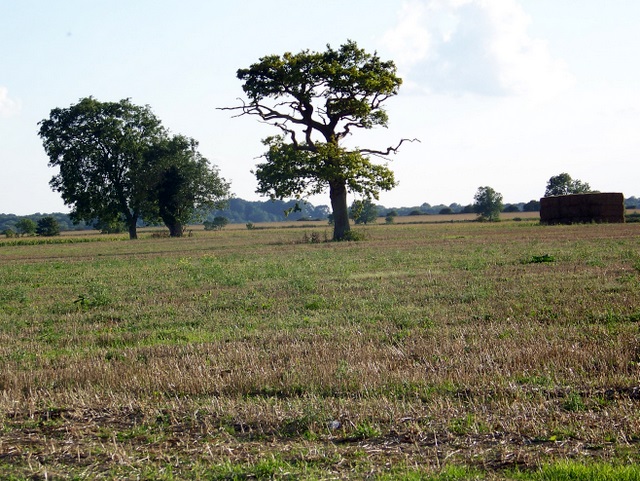
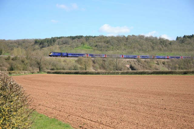
Hurcot is a small village located in the county of Somerset, England. Situated approximately 3 miles southwest of the town of Langport, it falls within the civil parish of High Ham. The village lies in the picturesque Somerset Levels, surrounded by beautiful countryside and farmland.

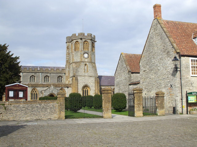
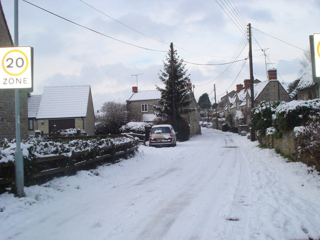
Historically, Hurcot was a farming community, and it still retains its rural character to this day. The village is known for its quaint and charming atmosphere, with a small collection of traditional stone cottages and farmhouses dotting the landscape. The centerpiece of the village is the St. Andrew's Church, a beautiful medieval building that serves as a place of worship for the local community.

Despite its small size, Hurcot offers a range of amenities to its residents and visitors. The village has a community hall, which hosts various events and gatherings, fostering a sense of community spirit. Additionally, there are several walking and cycling paths that crisscross the surrounding countryside, providing opportunities for outdoor activities and exploration.

For those seeking a taste of Somerset's natural beauty, Hurcot is conveniently located near the Somerset Levels and Moors, a designated Area of Outstanding Natural Beauty. Here, visitors can enjoy stunning landscapes, diverse wildlife, and a peaceful escape from the hustle and bustle of urban life.

In conclusion, Hurcot is a charming village in Somerset, known for its rural character, historic church, and proximity to the beautiful Somerset Levels. It offers a peaceful and idyllic setting for residents and visitors alike.

If you have any feedback on the listing, please let us know in the comments section below.
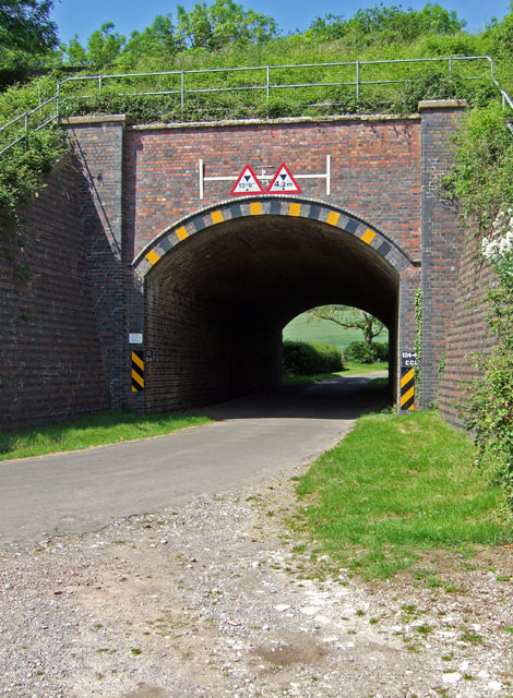
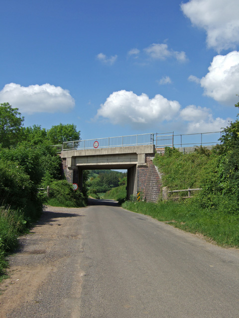
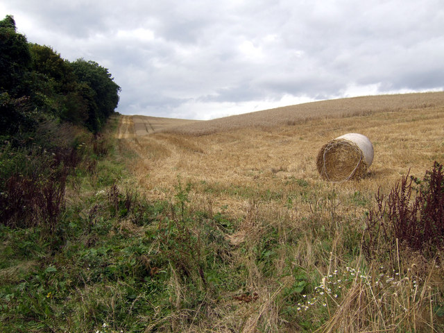
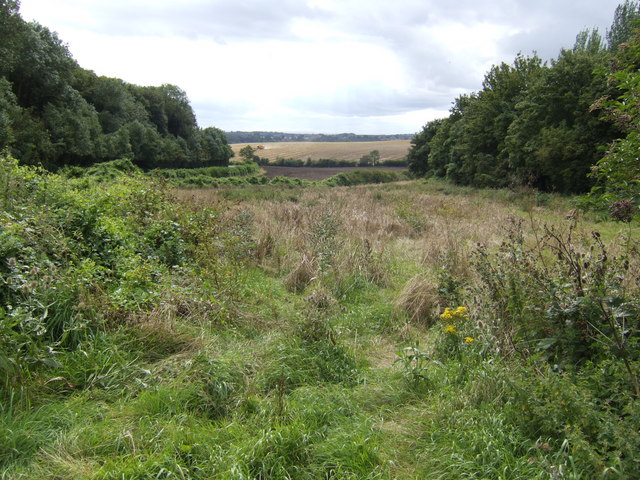
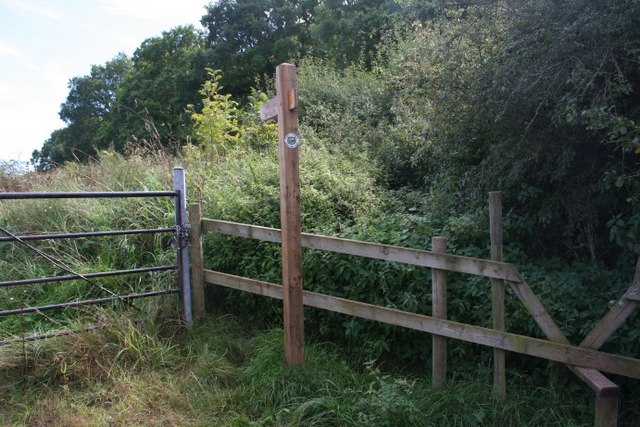
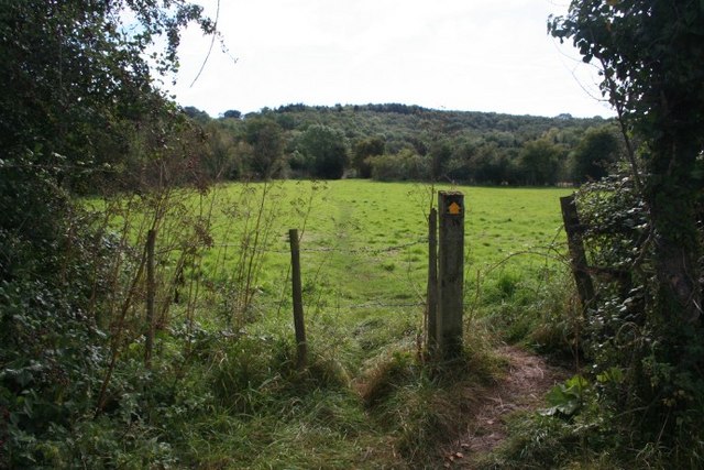
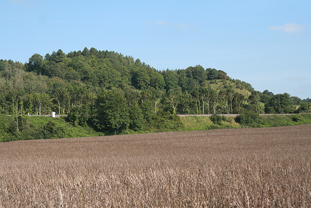
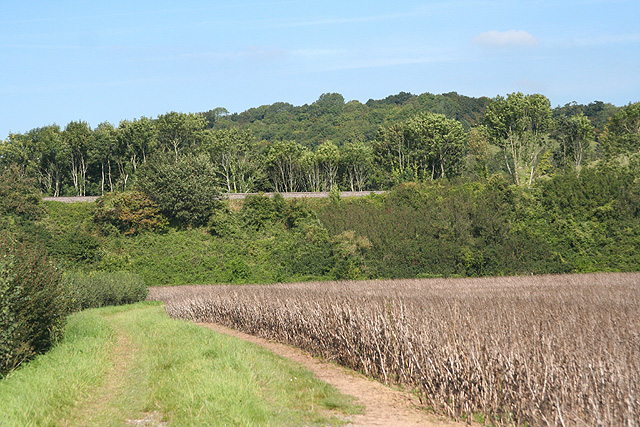
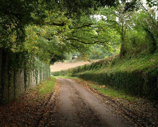
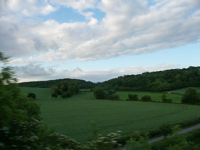
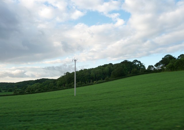
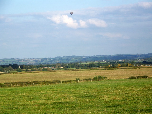
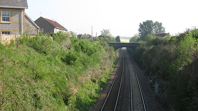
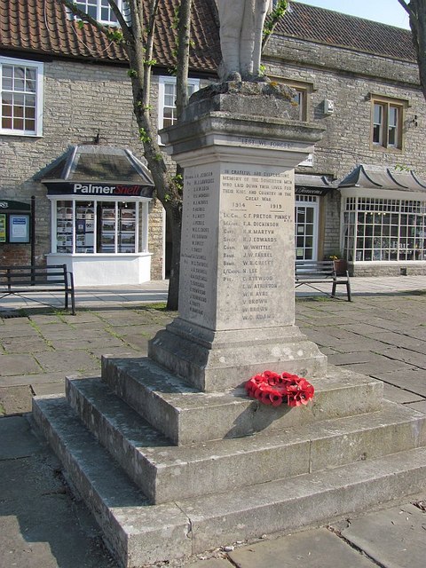
Hurcot Images

Images are sourced within 2km of 51.063173/-2.7067112 or Grid Reference ST5029. Thanks to Geograph Open Source API. All images are credited.

Hurcott Cottage Railway Bridge - Hurcott
Welham Railway Bridge - Welham
Harvested field on Windmill Hill The woodland is Caleb's Plantation viewed north from the B3153.
Harvested field on Windmill Hill
The woodland is Caleb's Plantation viewed north from the B3153.
View down Windmill Hill Parallel to the B3153 looking towards Somerton. A combine harvester is at work in the distance.
View down Windmill Hill
Parallel to the B3153 looking towards Somerton. A combine harvester is at work in the distance.
Over the stile, into the nettles This footpath takes off south from Huish Road, a track that is part of the Macmillan Way footpath. The stile does not look as if many people use it.
Over the stile, into the nettles
This footpath takes off south from Huish Road, a track that is part of the Macmillan Way footpath. The stile does not look as if many people use it.
Across the fields and into the woods From a crossroads of paths, this route heads south-west to Somerton Wood.
Across the fields and into the woods
From a crossroads of paths, this route heads south-west to Somerton Wood.
Somerton: towards Hurcot The Paddington-Penzance railway line runs on embankment here. This section of line was constructed by the Great Western Railway – between Castle Cary and a point just west of Langport – and opened in 1906, and enabled the company to provide a direct route from London to the west country to compete with the London & South Western Railway’s line between Waterloo and Exeter. Previously passengers from London Paddington to the west country had to travel via Bristol - the Great Way Round
Somerton: towards Hurcot
The Paddington-Penzance railway line runs on embankment here. This section of line was constructed by the Great Western Railway – between Castle Cary and a point just west of Langport – and opened in 1906, and enabled the company to provide a direct route from London to the west country to compete with the London & South Western Railway’s line between Waterloo and Exeter. Previously passengers from London Paddington to the west country had to travel via Bristol - the Great Way Round
Somerton: the Paddington-Penzance railway line Near Hurcot. This section of railway was constructed by the Great Western Railway – between Castle Cary and a point just west of Langport – and opened in 1906, and enabled the company to provide a direct route from London to the west country to compete with the London & South Western Railway’s line between Waterloo and Exeter
Somerton: the Paddington-Penzance railway line
Near Hurcot. This section of railway was constructed by the Great Western Railway – between Castle Cary and a point just west of Langport – and opened in 1906, and enabled the company to provide a direct route from London to the west country to compete with the London & South Western Railway’s line between Waterloo and Exeter
Huish Road This no through lane (for vehicles) is followed by the Macmillan Way as it winds along the Cary valley.
Huish Road
This no through lane (for vehicles) is followed by the Macmillan Way as it winds along the Cary valley.
South Somerset : Grassy Field & Scenery
South Somerset : Grassy Field & Hillside
Arable fields near Charlton Mackrell Small fields surround the village in this rich farming area.
Arable fields near Charlton Mackrell
Small fields surround the village in this rich farming area.
Stubble field near Charlton Mackrell The dropped grain has started to sprout as the field is still waiting to be ploughed for the next crop.
Stubble field near Charlton Mackrell
The dropped grain has started to sprout as the field is still waiting to be ploughed for the next crop.
A Penzance To Paddington train on the embankment
St Michael & All Angels, Somerton
Pesters Lane A photograph of Pesters Lane in the snow taken in January 2010
Pesters Lane
A photograph of Pesters Lane in the snow taken in January 2010
Railway, Somerton The railway between Westbury and Taunton goes right through the middle of Somerton. Sadly there is no station now.
Railway, Somerton
The railway between Westbury and Taunton goes right through the middle of Somerton. Sadly there is no station now.
War memorial, Somerton
Show me another place!

Hurcot is located at Grid Ref: ST5029 (Lat: 51.063173, Lng: -2.7067112)

Administrative County: Somerset

District: South Somerset

Police Authority: Avon and Somerset

Also known as: Hurcott

What 3 Words

///activates.alright.trick. Near Ilchester, Somerset

Nearby Locations

Hurcot Hill Hurcot Hurcott

Related Wikis

Hurcott Farm

Hurcott Farm (grid reference ST511295) is a 26.3 hectare geological Site of Special Scientific Interest in Somerset, notified in 1993. At this site heavily...

Somerton Viaduct

The Somerton Viaduct is a historic railway viaduct in the town of Somerton in Somerset, England. It is situated on the Langport and Castle Cary Railway...

Church of St Michael and All Angels, Somerton

The Church of St Michael and All Angels in Somerton, Somerset, England dates from the 13th century and has been designated as a Grade I listed building...

Wessex (ward)

Wessex is an electoral ward of South Somerset District Council in Somerset, England. It is one of the wards that makes up the parliamentary constituency...

Nearby Amenities

Located within 500m of 51.063173,-2.7067112
Hurcott
Is In: Somerton
Place: hamlet
Lat/Long: 51.0642703/-2.7081939
The data included in this document is from www.openstreetmap.org. The data is made available under ODbL.

Have you been to Hurcot?

Leave your review of Hurcot below (or comments, questions and feedback).