Hallow Hill
Hill, Mountain in Fife
Scotland
Hallow Hill

Hallow Hill is a prominent landmark located in Fife, Scotland. Standing at an elevation of approximately 209 meters (686 feet), it is classified as a hill rather than a mountain. Situated near the village of Freuchie, Hallow Hill is easily recognizable due to its distinctive conical shape and commanding position in the landscape.
This hill holds significant historical and cultural importance to the local community. It is believed to have been a site of ancient settlement, with remnants of prehistoric structures discovered in the area. Archaeological excavations have revealed the presence of a fort on the summit, indicating its use as a defensive stronghold during ancient times.
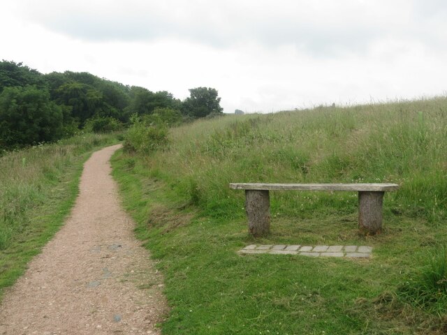
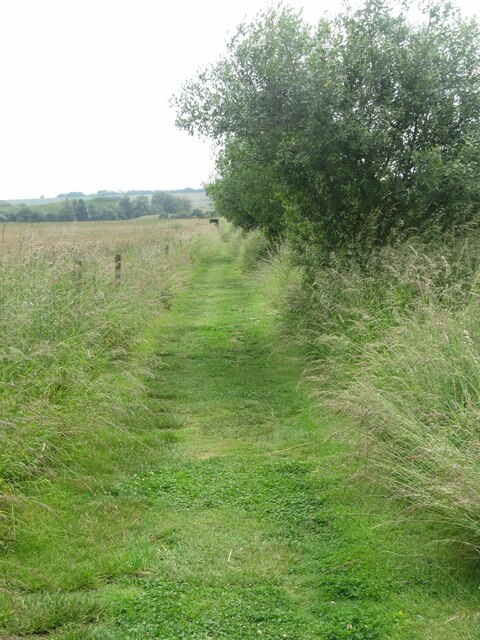
From the summit of Hallow Hill, visitors can enjoy breathtaking panoramic views of the surrounding countryside. On clear days, it is possible to see the Lomond Hills to the north, the Firth of Forth to the south, and even glimpses of Edinburgh in the distance.
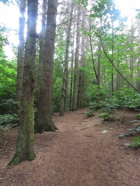
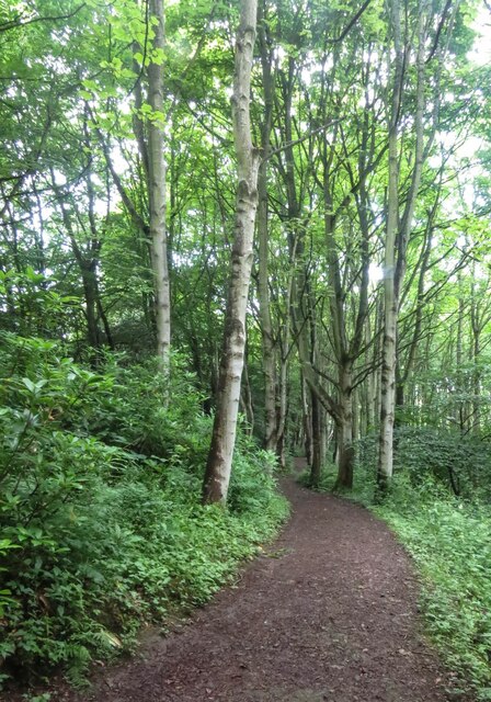
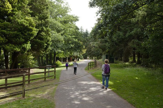
The hill is accessible via a network of well-maintained trails, making it a popular destination for hikers and nature enthusiasts. The hike to the summit is relatively moderate, with occasional steep sections, offering a rewarding challenge for those seeking outdoor adventure.
Hallow Hill is also known for its rich biodiversity. The hillside is covered in a variety of plant species, including heather, gorse, and wildflowers, providing a vibrant and colorful landscape. It is home to a diverse range of wildlife, such as rabbits, pheasants, and various bird species, making it an ideal spot for wildlife observation.
Overall, Hallow Hill is an iconic landmark in Fife, offering a combination of historical significance, stunning views, and natural beauty, making it a must-visit destination for both locals and tourists alike.
If you have any feedback on the listing, please let us know in the comments section below.
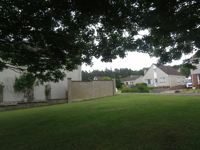
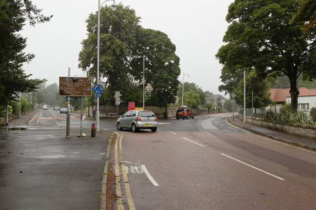
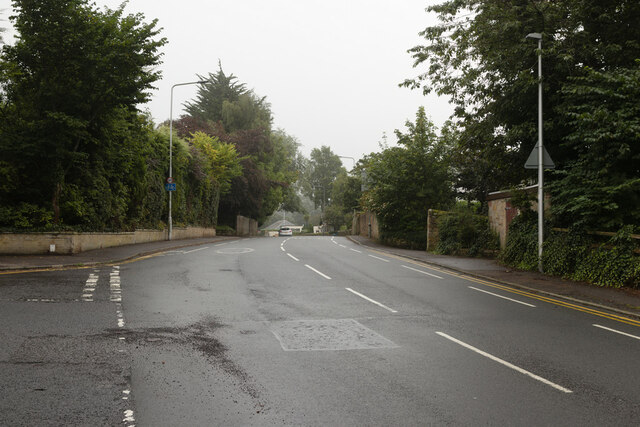
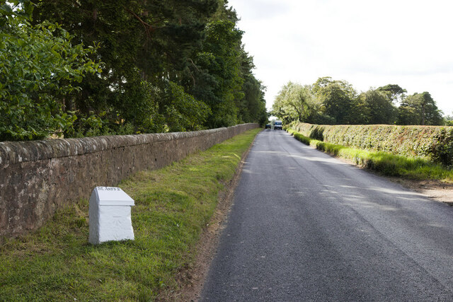
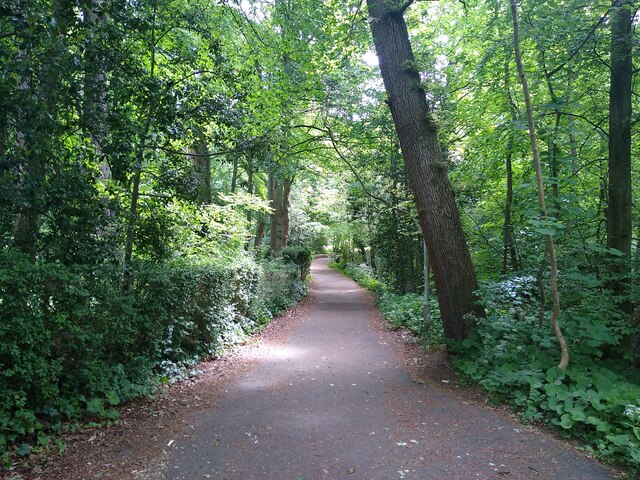
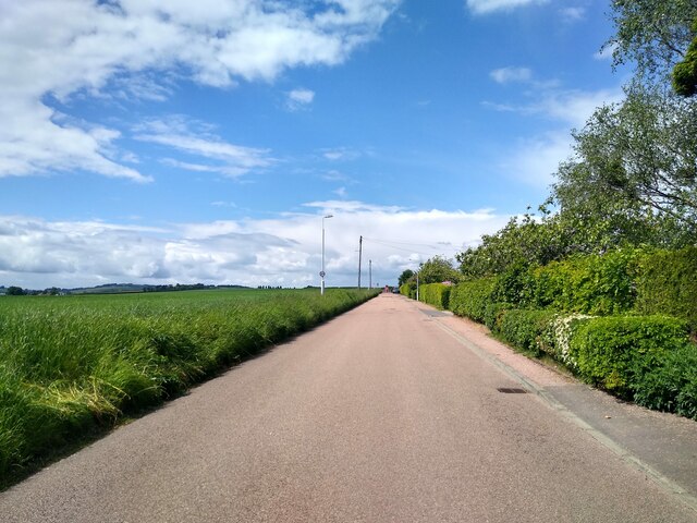
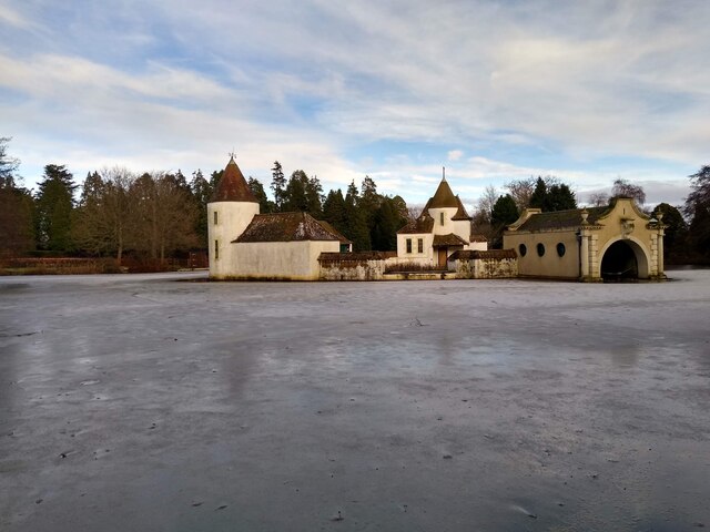
Hallow Hill Images
Images are sourced within 2km of 56.330409/-2.8214611 or Grid Reference NO4915. Thanks to Geograph Open Source API. All images are credited.

Hallow Hill is located at Grid Ref: NO4915 (Lat: 56.330409, Lng: -2.8214611)
Unitary Authority: Fife
Police Authority: Fife
What 3 Words
///chipper.successes.disengage. Near St Andrews, Fife
Nearby Locations
Related Wikis

Bogward Dovecot
Bogward Doocot is a rare early beehive-type doocot, or dovecote, in the Scottish town of St Andrews, Fife. In 1971, it was designated as a Category A listed...

New Park School
New Park School was an independent preparatory school in St Andrews, Fife, Scotland. The school was founded in 1933 by Cuthbert Dixon, previously a teacher...
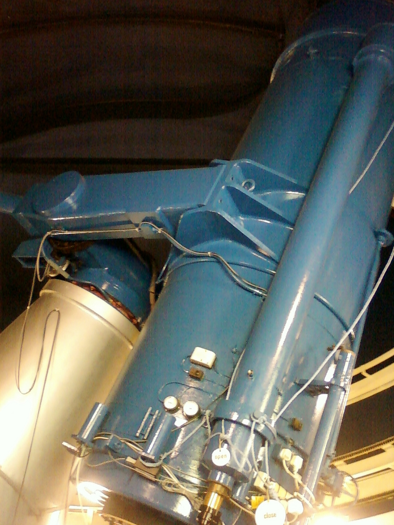
James Gregory Telescope
The James Gregory Telescope was constructed in 1962 by the University of St Andrews. It is of a Schmidt-Cassegrain design and is fitted with a CCD camera...
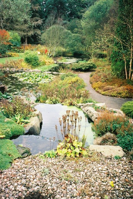
St Andrews Botanic Garden
The St Andrews Botanic Garden is an 18-acre botanical garden in the university town of St Andrews in Fife, Scotland. It is located on the banks of the...
St Andrews Community Hospital
St Andrews Community Hospital is a small hospital to the south of the university town of St Andrews in Fife, Scotland. The hospital serves the town of...
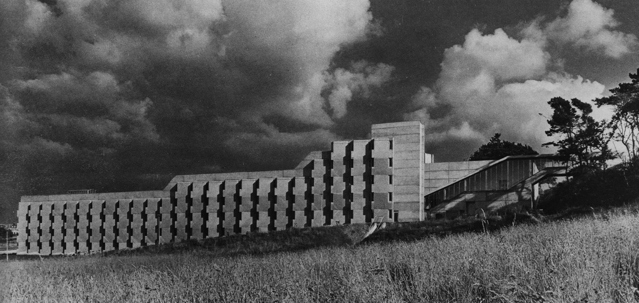
Andrew Melville Hall
Andrew Melville Hall is a student hall of residence of the University of St Andrews located in St Andrews, Fife, Scotland. It was built in 1967 in the...

Agnes Blackadder Hall
Agnes Blackadder Hall (formerly New Hall) is the largest single-building Hall of Residence owned by the University of St Andrews. It was opened in 1993...
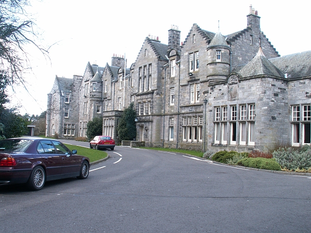
University Hall (University of St Andrews)
University Hall is a student hall of residence at the University of St Andrews in St Andrews, Fife, Scotland. When it opened in 1896 it was the first...
Nearby Amenities
Located within 500m of 56.330409,-2.8214611Have you been to Hallow Hill?
Leave your review of Hallow Hill below (or comments, questions and feedback).