Chalcroft Hill

Hill, Mountain in Somerset Mendip

England

Chalcroft Hill

River Axe The river, fringed by himalayan balsam, cuts across the northeast edge of the square. Not very big, but then there is a Lower River Axe running a mile to the south, the two having separated at Wookey. The lane is heading from Knowle Bridge to Bleadney.
River Axe Credit: Derek Harper

Chalcroft Hill, located in Somerset, England, is a prominent hill with an elevation of approximately 230 meters (750 feet) above sea level. It is situated near the village of Cheddon Fitzpaine, about 5 kilometers (3 miles) to the west of the town of Taunton. The hill is part of the Quantock Hills Area of Outstanding Natural Beauty, a designated protected landscape in the county.

Chalcroft Hill offers stunning panoramic views of the surrounding countryside, including the lush green fields, woodlands, and picturesque villages. On clear days, it is possible to see as far as the Bristol Channel and even the distant Welsh mountains. The hill is a popular destination for outdoor enthusiasts, hikers, and nature lovers, who can enjoy the peacefulness and tranquility of the area.

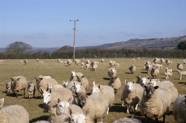
The hill is covered in a mix of grassland, heathland, and woodland, providing a diverse habitat for a variety of flora and fauna. It is home to several species of birds, butterflies, and other wildlife, making it an attractive spot for birdwatching and nature photography. Additionally, the area is rich in archaeological sites, with evidence of ancient settlements and hillforts scattered throughout the landscape.

Access to Chalcroft Hill is available via footpaths and bridleways, allowing visitors to explore the surrounding countryside and enjoy the natural beauty of the area. The hill provides a peaceful retreat away from the bustling town of Taunton, offering a chance to connect with nature and enjoy breathtaking views of the Somerset countryside.

If you have any feedback on the listing, please let us know in the comments section below.

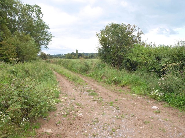
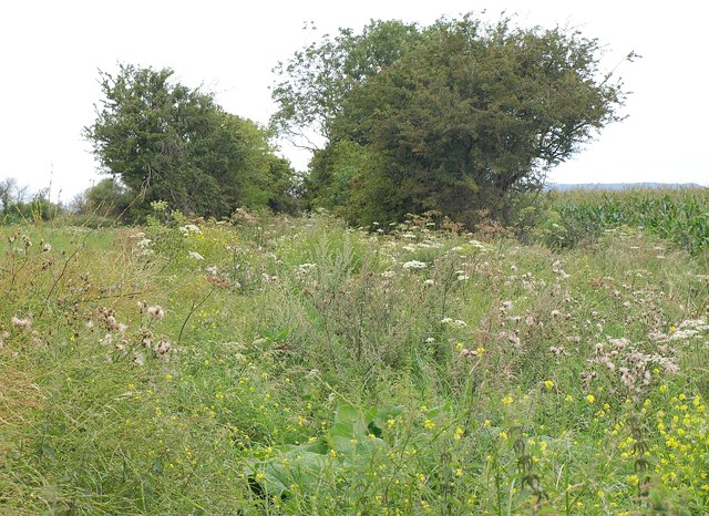
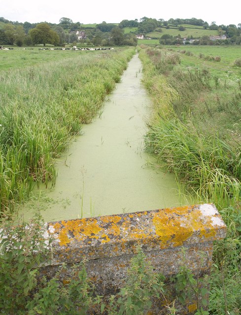
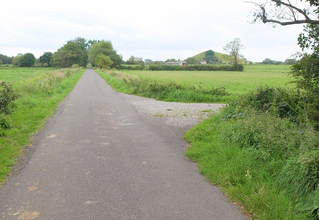
Chalcroft Hill Images

Images are sourced within 2km of 51.224251/-2.7285512 or Grid Reference ST4947. Thanks to Geograph Open Source API. All images are credited.

River Axe The river, fringed by himalayan balsam, cuts across the northeast edge of the square. Not very big, but then there is a Lower River Axe running a mile to the south, the two having separated at Wookey. The lane is heading from Knowle Bridge to Bleadney.
River Axe
The river, fringed by himalayan balsam, cuts across the northeast edge of the square. Not very big, but then there is a Lower River Axe running a mile to the south, the two having separated at Wookey. The lane is heading from Knowle Bridge to Bleadney.
Knowle Moor Drove A lane over the levels, here passing willow trees as it veers away from the River Axe (behind the camera).
Knowle Moor Drove
A lane over the levels, here passing willow trees as it veers away from the River Axe (behind the camera).
Knowle Moor Drove Looking in the other direction from the spot where <a href="https://www.geograph.org.uk/photo/2587937">ST4947 : Knowle Moor Drove</a> was taken. The River Axe runs along the left side of the road.
Knowle Moor Drove
Looking in the other direction from the spot where ST4947 : Knowle Moor Drove was taken. The River Axe runs along the left side of the road.
Upper Old Enclosure Rhyne Taken from close to the same spot as <a href="https://www.geograph.org.uk/photo/95494">ST4946 : Knowle Hill</a>, looking more to the right.
Upper Old Enclosure Rhyne
Taken from close to the same spot as ST4946 : Knowle Hill, looking more to the right.
Knowle Moor Drove A junction on the drove, with Moor Sherd leaving on the left, and Taylor Paddock Drove, a footpath, on the right.
Knowle Moor Drove
A junction on the drove, with Moor Sherd leaving on the left, and Taylor Paddock Drove, a footpath, on the right.
Taylor Paddock Drove Carrying footpath WS 16/35, which crosses Knowle Moor Rhyne at these trees, though you can't tell that from the photograph.
Taylor Paddock Drove
Carrying footpath WS 16/35, which crosses Knowle Moor Rhyne at these trees, though you can't tell that from the photograph.
Knowle Moor Looking across the levels from Taylor Paddock Drove, a rather overgrown footpath (WS 16/35) north of the point shown in <a href="https://www.geograph.org.uk/photo/2588061">ST4846 : Taylor Paddock Drove</a>. The trees ahead are alongside the River Axe.
Knowle Moor
Looking across the levels from Taylor Paddock Drove, a rather overgrown footpath (WS 16/35) north of the point shown in ST4846 : Taylor Paddock Drove. The trees ahead are alongside the River Axe.
Taylor Paddock Drove Carrying footpath WS 16/35, and somewhat overgrown, with intermittent trees along the sides. Taken from the same spot as <a href="https://www.geograph.org.uk/photo/2588183">ST4847 : Knowle Moor</a>, which looks to the left. On the right is a field of maize.
Taylor Paddock Drove
Carrying footpath WS 16/35, and somewhat overgrown, with intermittent trees along the sides. Taken from the same spot as ST4847 : Knowle Moor, which looks to the left. On the right is a field of maize.
Webb's Rhyne <a href="https://www.geograph.org.uk/photo/95493">ST4846 : Knowle Moor</a> shows the rhyne looking in the other direction from Knowle Moor Drove, on a rather lovelier day. Set against the western end of Yarley Hill in the background is part of the village of Bleadney, in <a href="https://www.geograph.org.uk/gridref/ST4846">ST4846</a>.
Webb's Rhyne
ST4846 : Knowle Moor shows the rhyne looking in the other direction from Knowle Moor Drove, on a rather lovelier day. Set against the western end of Yarley Hill in the background is part of the village of Bleadney, in ST4846.
Knowle Moor Drove The drove runs dead straight for nearly two kilometres; this view from the junction with Marchey Drove, looks along the southwestern 450 metres of that stretch. On the right, partly hidden by a tree, is Barrow Hill.
Knowle Moor Drove
The drove runs dead straight for nearly two kilometres; this view from the junction with Marchey Drove, looks along the southwestern 450 metres of that stretch. On the right, partly hidden by a tree, is Barrow Hill.
Westbury-Sub Mendip Church Saint Lawrence, with parts dating back to the 12th century.
Westbury-Sub Mendip Church
Saint Lawrence, with parts dating back to the 12th century.
Knowle Moor It's flat. There's drainage ditches and, oh yes, sheep. Mendip Hills West (Cheddar <a href="https://www.geograph.org.uk/gridref/ST4754">ST4754</a>) in the background, capped all day by cloud (see <a href="https://www.geograph.org.uk/photo/95605">ST5252 : Chancellor's Farm</a> where 30mins later I took that picture).
Knowle Moor
It's flat. There's drainage ditches and, oh yes, sheep. Mendip Hills West (Cheddar ST4754) in the background, capped all day by cloud (see ST5252 : Chancellor's Farm where 30mins later I took that picture).
Knowle Hill Cows, ditches, tin sheds and Knowle Hill in background. Typical Somerset Levels scene.
Knowle Hill
Cows, ditches, tin sheds and Knowle Hill in background. Typical Somerset Levels scene.
Chalcroft Hill Bridge over drainage ditch/stream with Chalcroft Hill (all in square) in background.
Chalcroft Hill
Bridge over drainage ditch/stream with Chalcroft Hill (all in square) in background.
Curious Sheep, Stoke Moor
Meadows on Westbury Moor Taken from the footpath over Lodge Hill, which can be seen snaking back towards the left of the picture.
Meadows on Westbury Moor
Taken from the footpath over Lodge Hill, which can be seen snaking back towards the left of the picture.
Show me another place!

Chalcroft Hill is located at Grid Ref: ST4947 (Lat: 51.224251, Lng: -2.7285512)

Administrative County: Somerset

District: Mendip

Police Authority: Avon and Somerset

What 3 Words

///caps.liquid.complains. Near Draycott, Somerset

Nearby Locations

Chalcroft Hill

Related Wikis

Lodge Hill railway station

Lodge Hill railway station was a station on the Bristol and Exeter Railway's Cheddar Valley line in Somerset, England from 1870 until 1963. The station...

Church of St Lawrence, Westbury-sub-Mendip

The Church of St Lawrence in Westbury-sub-Mendip, Somerset, England was built in the 12th century. It is a Grade II* listed building. == History == The...

Westbury-sub-Mendip

Westbury-sub-Mendip is a village and civil parish in Somerset, England. The village is on the southern slopes of the Mendip Hills, 4 miles (6.4 km) from...

St Paul's Church, Easton

St Paul's Church is a Church of England church in Easton, Somerset, England. The church, which was designed by Richard Carver and built in 1843, has been...

Nearby Amenities

Located within 500m of 51.224251,-2.7285512
Chalcroft Hill
Natural: peak
Source: OS OpenData StreetView
Lat/Long: 51.2244226/-2.7287125
The data included in this document is from www.openstreetmap.org. The data is made available under ODbL.

Have you been to Chalcroft Hill?

Leave your review of Chalcroft Hill below (or comments, questions and feedback).