Bar Hill

Hill, Mountain in Aberdeenshire

Scotland

Bar Hill

The drive to Bogairdy
The drive to Bogairdy Credit: David Purchase

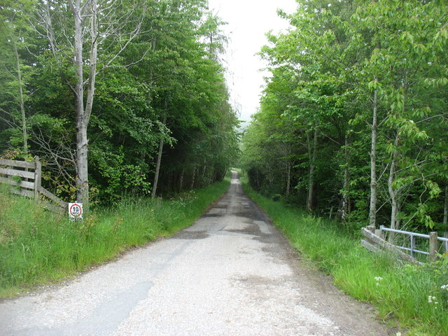
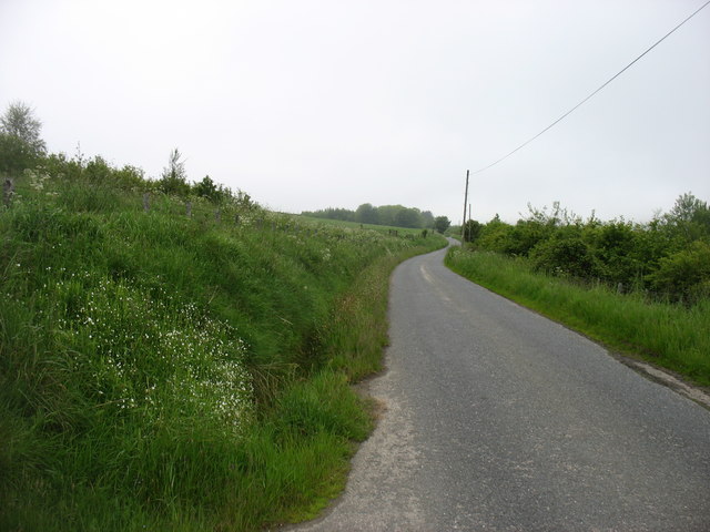
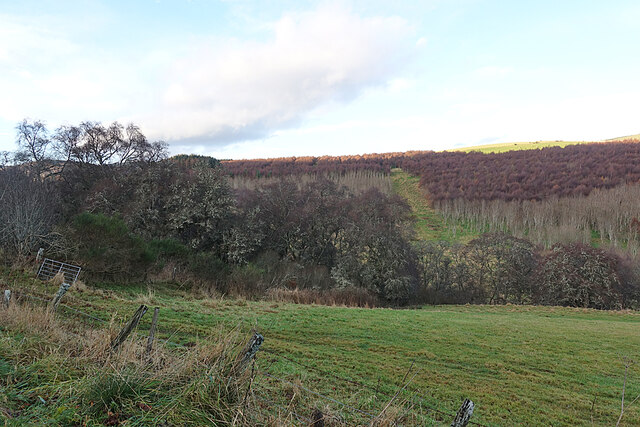
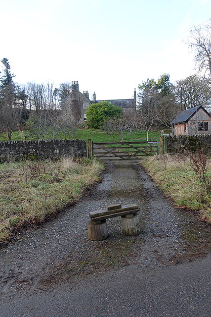
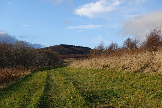
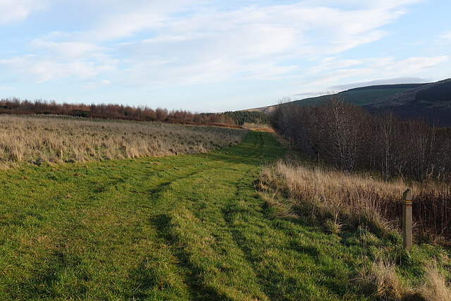
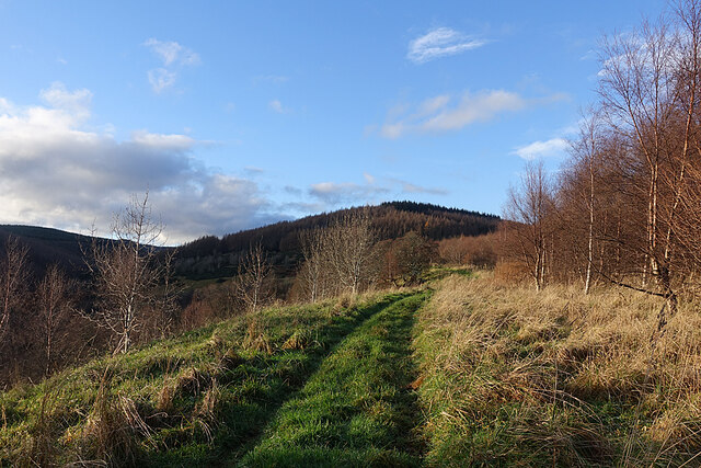
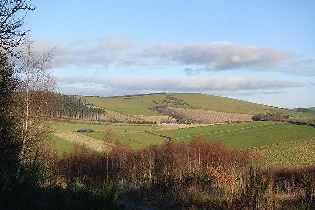
Bar Hill is a prominent hill located in Aberdeenshire, Scotland. It is situated approximately 5 miles northwest of the town of Banchory, and stands at an elevation of 1,280 feet (390 meters). The hill is part of the larger Hill of Fare range and offers stunning panoramic views of the surrounding countryside.

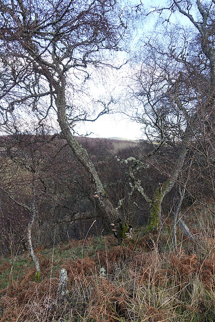
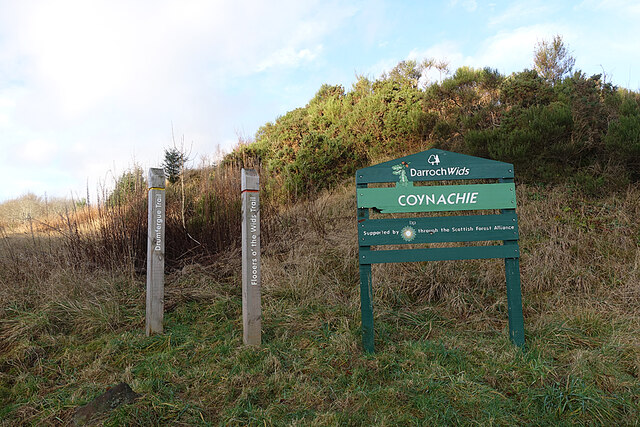
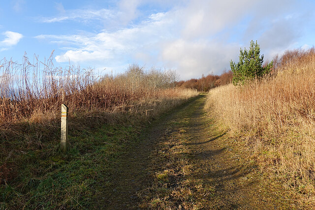
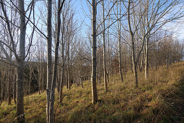
Covered in heather and rough grass, Bar Hill is a popular destination for hikers and outdoor enthusiasts. The ascent to the summit can be challenging but rewarding, with well-defined paths leading up to the top. Along the way, visitors can enjoy the diverse flora and fauna that populate the area, including wildflowers, birds, and small mammals.

From the summit, on a clear day, one can see the Cairngorms National Park to the west, the Grampian Mountains to the south, and the North Sea to the east. The view is particularly breathtaking at sunrise and sunset, when the golden hues of the sky create a magical atmosphere.

Bar Hill also has historical significance, with remnants of ancient settlements and structures scattered across its slopes. Archaeological excavations have revealed evidence of prehistoric occupation, including stone tools and pottery shards, suggesting that the hill has been inhabited for thousands of years.

Overall, Bar Hill is a stunning natural landmark that offers both recreational opportunities and a glimpse into Scotland's rich history. Whether it's for a challenging hike or simply to enjoy the picturesque scenery, visitors to Aberdeenshire should not miss the opportunity to explore this beautiful hill.

If you have any feedback on the listing, please let us know in the comments section below.
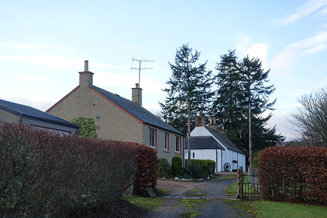
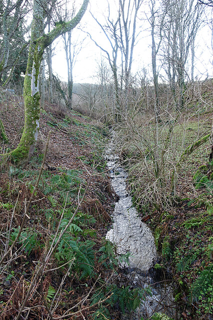
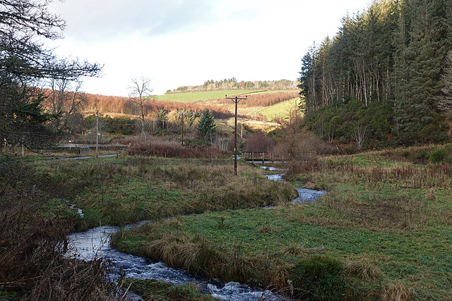
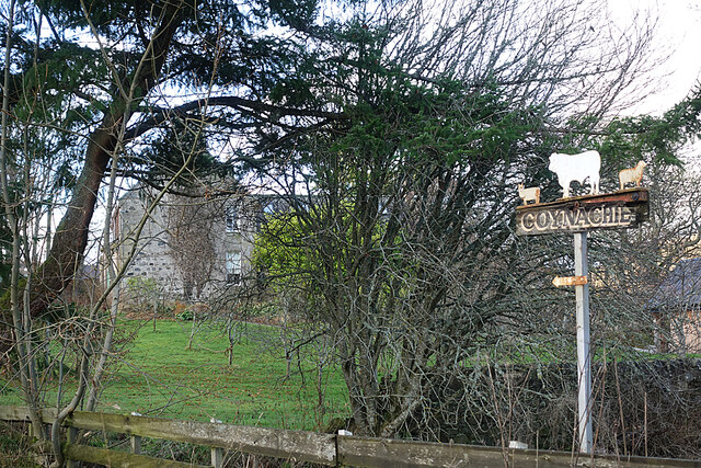
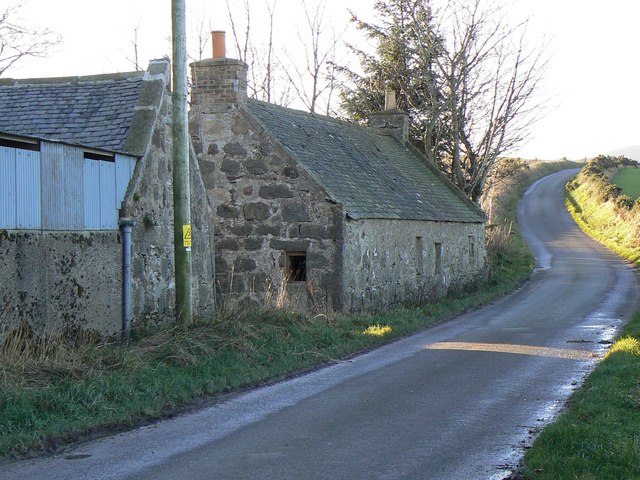
Bar Hill Images

Images are sourced within 2km of 57.402438/-2.846843 or Grid Reference NJ4934. Thanks to Geograph Open Source API. All images are credited.

The drive to Bogairdy
The lane in Strathbogie Goes as far as Tillathrowie (in <a href="https://www.geograph.org.uk/gridref/NJ4735">NJ4735</a>), where the lane comes to an end.
The lane in Strathbogie
Goes as far as Tillathrowie (in NJ4735), where the lane comes to an end.
Field and Woods We've come into the shade of Collithie Hill, so the birches on the edge of this field look quite dark and gloomy. There seems to have been a lot of planting on the other side of the glen.
Field and Woods
We've come into the shade of Collithie Hill, so the birches on the edge of this field look quite dark and gloomy. There seems to have been a lot of planting on the other side of the glen.
Roadside Woodland Hoary-looking birches, complete with lichen and fungi, line the side of the road.
Roadside Woodland
Hoary-looking birches, complete with lichen and fungi, line the side of the road.
Cottages at Coynachie An old whitewashed cottage and a more recent one just off the road approaching Coynachie.
Cottages at Coynachie
An old whitewashed cottage and a more recent one just off the road approaching Coynachie.
Burn of Glack-en-tore One of those burns that are only seen in winter when the vegetation is mostly absent.
Burn of Glack-en-tore
One of those burns that are only seen in winter when the vegetation is mostly absent.
Ness Bogie The burn here is called the Ness Bogie. It eventaully joins the River Bogie just below the Nessbogie Bridge. Here, at Coynachie, is a footbridge beside a ford on the track leading to fields on Bar Hill.
Ness Bogie
The burn here is called the Ness Bogie. It eventaully joins the River Bogie just below the Nessbogie Bridge. Here, at Coynachie, is a footbridge beside a ford on the track leading to fields on Bar Hill.
Coynachie There's a fine example of a traditional stone farm house at Coynachie, but it's difficult to photograph because of trees. The farm sign features some of the livestock.
Coynachie
There's a fine example of a traditional stone farm house at Coynachie, but it's difficult to photograph because of trees. The farm sign features some of the livestock.
Driveway to Coynachie Farm House We assume that the wooden dolmen-like structure is to discourage obstructing the driveway by parking. There is a forestry car park only a few tens of metres away.
Driveway to Coynachie Farm House
We assume that the wooden dolmen-like structure is to discourage obstructing the driveway by parking. There is a forestry car park only a few tens of metres away.
Darroch Wids at Coynachie The sign is in the style of Forestry Commission signs, and bears the FC logo, but makes no reference to the FC. There are two walking loops, one called the Flooers o' the Wids Trail and the other the Drumfergue Trail. We opted for the Drumfergue Trail which parallels the road, because the road was still in the shade and we expected the trail to be in the sunshine, which it was.
Darroch Wids at Coynachie
The sign is in the style of Forestry Commission signs, and bears the FC logo, but makes no reference to the FC. There are two walking loops, one called the Flooers o' the Wids Trail and the other the Drumfergue Trail. We opted for the Drumfergue Trail which parallels the road, because the road was still in the shade and we expected the trail to be in the sunshine, which it was.
Trails on the Drum Two trails, one waymarked in red and one in yellow, follow the track through the strip of woodland on The Drum. The name is from Gaelic 'druim' which means a ridge, and that fits the topography perfectly.
Trails on the Drum
Two trails, one waymarked in red and one in yellow, follow the track through the strip of woodland on The Drum. The name is from Gaelic 'druim' which means a ridge, and that fits the topography perfectly.
Leafless Trees A plantation of young deciduous trees stands between the road and the path on The Drum. I think some are beech and ash but a summer visit would be needed to check.
Leafless Trees
A plantation of young deciduous trees stands between the road and the path on The Drum. I think some are beech and ash but a summer visit would be needed to check.
Grass Track The grass track on the south slope of The Drum, looking towards the Hill of Drumfergue.
Grass Track
The grass track on the south slope of The Drum, looking towards the Hill of Drumfergue.
Grass Track on The Drum On the right is the waymarker for the two short trails on The Drum.
Grass Track on The Drum
On the right is the waymarker for the two short trails on The Drum.
Trails on the Drum The trails on The Drum climb gently towards the forested Hill of Drumfergue.
Trails on the Drum
The trails on The Drum climb gently towards the forested Hill of Drumfergue.
Track on The Drum Looking back downhill on the waymarked grassy track. The road is in the shade below to the right, so we were glad to have come across the sunny off-road option.
Track on The Drum
Looking back downhill on the waymarked grassy track. The road is in the shade below to the right, so we were glad to have come across the sunny off-road option.
Woods on The Drum This looks like another stand of young deciduous trees planted beside the track as it approaches Drumfergue.
Woods on The Drum
This looks like another stand of young deciduous trees planted beside the track as it approaches Drumfergue.
View from above Drumfergue The treeless hilltop is the Hill of Bogairdy, and I think the white building is Whitestones. The road with the bend just above the foreground trees leads down to Easter Tillathrowie, which is concealed by the trees.
View from above Drumfergue
The treeless hilltop is the Hill of Bogairdy, and I think the white building is Whitestones. The road with the bend just above the foreground trees leads down to Easter Tillathrowie, which is concealed by the trees.
Show me another place!

Bar Hill is located at Grid Ref: NJ4934 (Lat: 57.402438, Lng: -2.846843)

Unitary Authority: Aberdeenshire

Police Authority: North East

What 3 Words

///unclaimed.successes.quilt. Near Huntly, Aberdeenshire

Nearby Locations

Bar Hill

Related Wikis

Kye Hill

Kye Hill is a hill by Huntly, Aberdeenshire, Scotland. It lies southwest of The Clashmach hill and is nearly the same height. There is a former limestone...

Strathbogie, Scotland

Strathbogie (Scottish Gaelic: Srath Bholgaidh or Srath Bhalgaidh) is a district and river valley of northwest Aberdeenshire in Scotland, formerly one of...

Gartly

Gartly (Scots: Gairtlie, Scottish Gaelic: Gartaidh) is an inland hamlet in Aberdeenshire, Scotland. It is several miles south of the town of Huntly, and...

Gartly railway station

Gartly railway station served the hamlet of Gartly, Aberdeenshire, Scotland from 1854 to 1968 on the Great North of Scotland Railway. == History == The...

Burn of Tullochbeg

Burn of Tullochbeg is a burn which marks the boundary of the parish of Huntly, Aberdeenshire, Scotland. == References ==

Backburn

Backburn is a rural settlement near Gartly in Aberdeenshire, Scotland. == References ==

Torry Burn, Huntly

Torry Burn is a burn which marks the boundary of the parish of Huntly, Aberdeenshire, Scotland. == References ==

Gartly Castle

Gartly Castle was a 15th-century castle, about 1 mile (1.6 km) north-east of Gartly, Aberdeenshire, Scotland, and 4 miles (6.4 km) south of Huntly, east...

Nearby Amenities

Located within 500m of 57.402438,-2.846843
Power: pole
Lat/Long: 57.4033646/-2.8548714
Power: pole
Lat/Long: 57.4028409/-2.8549302
Power: pole
Lat/Long: 57.3986319/-2.8504198
Power: pole
Lat/Long: 57.3990631/-2.8512812
Power: pole
Lat/Long: 57.3994858/-2.8521494
Power: pole
Lat/Long: 57.3999243/-2.8530379
Power: pole
Lat/Long: 57.4003019/-2.8538382
Power: pole
Lat/Long: 57.4008622/-2.8545616
Power: pole
Lat/Long: 57.4062145/-2.8430631
Power: pole
Lat/Long: 57.4062845/-2.8441302
Power: pole
Lat/Long: 57.4063551/-2.8451691
Power: pole
Lat/Long: 57.4064453/-2.8465052
Power: pole
Lat/Long: 57.4065378/-2.8479499
Power: pole
Lat/Long: 57.4066255/-2.8492589
Drumbulg
Name Gd: Druim Builg
Place: hamlet
Lat/Long: 57.4026865/-2.8542251
Loanend
Place: isolated_dwelling
Lat/Long: 57.4049291/-2.8532381
The data included in this document is from www.openstreetmap.org. The data is made available under ODbL.

Have you been to Bar Hill?

Leave your review of Bar Hill below (or comments, questions and feedback).