Beetham Fell
Hill, Mountain in Westmorland South Lakeland
England
Beetham Fell

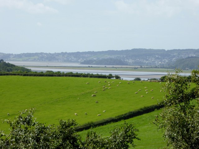
Beetham Fell is a prominent hill located in the county of Westmorland, in the northwestern part of England. Rising to a height of approximately 221 meters (725 feet), it offers stunning panoramic views of the surrounding countryside and is a popular destination for hikers, nature enthusiasts, and photographers.
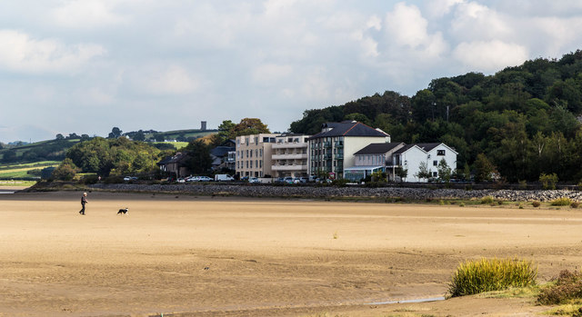
The fell is situated near the village of Beetham, which is known for its picturesque setting and charming medieval church. Beetham Fell is easily accessible, with various footpaths and trails leading to its summit. The climb is relatively gentle, making it suitable for people of all ages and fitness levels.
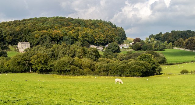
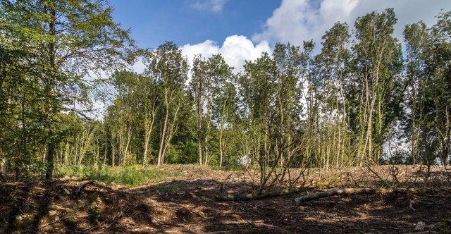
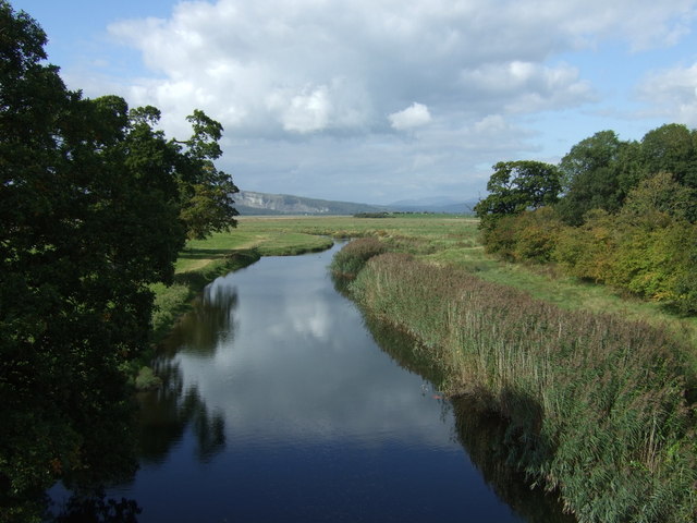
The terrain of Beetham Fell is a mix of grassy slopes, rocky outcrops, and patches of woodland. The hill is home to a diverse range of flora and fauna, including wildflowers, mosses, and a variety of bird species. Visitors may spot buzzards soaring in the sky or glimpse deer grazing in the fields.
At the top of Beetham Fell, there is a trig point that marks the highest point of the hill. From this vantage point, one can enjoy breathtaking views of the surrounding countryside, including the rolling hills, meandering rivers, and distant mountains.
Overall, Beetham Fell offers a tranquil and scenic escape for those seeking to immerse themselves in the natural beauty of Westmorland. Whether it's a leisurely stroll or a challenging hike, this hill is a fantastic destination for outdoor enthusiasts and a must-visit spot in the region.
If you have any feedback on the listing, please let us know in the comments section below.
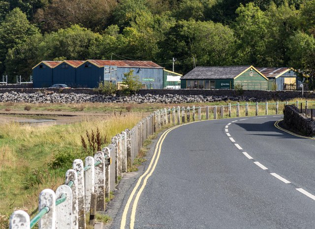
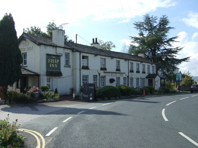
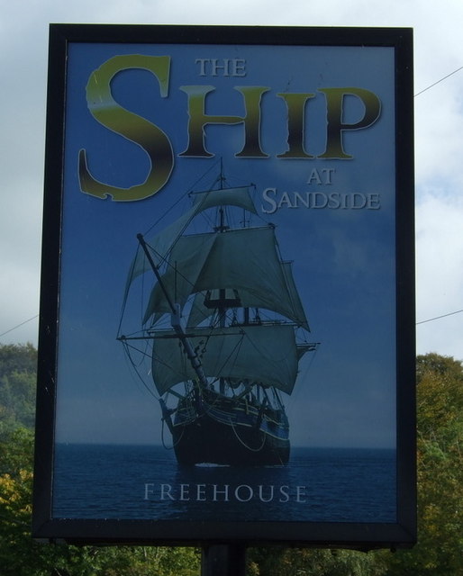
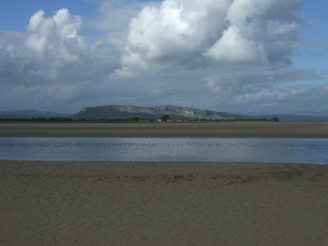
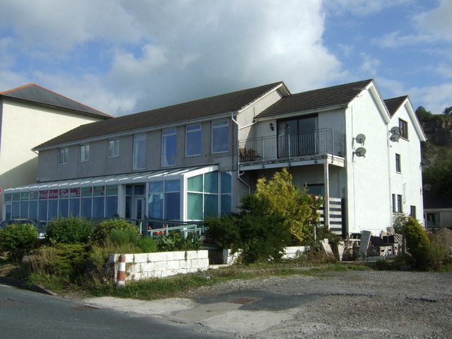
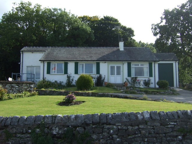
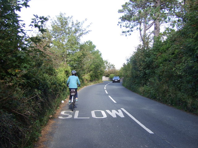
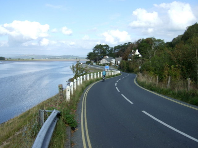
Beetham Fell Images
Images are sourced within 2km of 54.20795/-2.787823 or Grid Reference SD4879. Thanks to Geograph Open Source API. All images are credited.


Beetham Fell is located at Grid Ref: SD4879 (Lat: 54.20795, Lng: -2.787823)
Administrative County: Cumbria
District: South Lakeland
Police Authority: Cumbria
What 3 Words
///scribble.recliner.plotter. Near Milnthorpe, Cumbria
Nearby Locations
Related Wikis

Storth
Storth is a village near Arnside in Cumbria, England, situated near the border with Lancashire. It is in the historic county of Westmorland. The village...

Beetham
Beetham is a village and civil parish in the South Lakeland district, in Cumbria, England, situated on the border with Lancashire, 6 miles (10 km) north...

Slack Head
Slack Head, sometimes written Slackhead, is a hamlet near Beetham, South Lakeland, Cumbria, England. It is in Beetham civil parish. It is a purely residential...
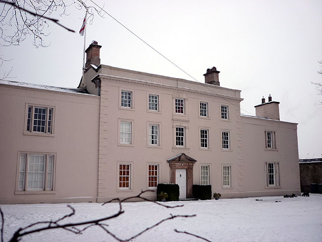
Ashton House, Cumbria
Ashton House is a large country house in Beetham in Cumbria. It is a Grade II* listed building. == History == The house was built in 1678 probably for...

Dog Hole Cave
Dog Hole Cave is an archaeologically significant cave near Storth, Cumbria, England. Other names for the cave include Haverbrack Bank Pot, Haverbrack Dog...

St Michael's Church, Beetham
St Michael's Church is in the village of Beetham, Cumbria, England. It is an active Anglican parish church in the deanery of Kendal, the archdeaconry of...
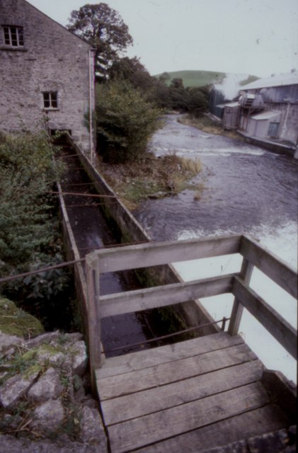
Heron Corn Mill
The Heron Corn Mill is a working 18th-century water mill on the River Bela at Beetham, Cumbria, England. The mill and its mill race are Grade II* listed...

Hazelslack
Hazelslack is a hamlet in the South Lakeland district, in the English county of Cumbria. It is near the villages of Arnside and Storth. Nearby Hazelslack...
Related Videos
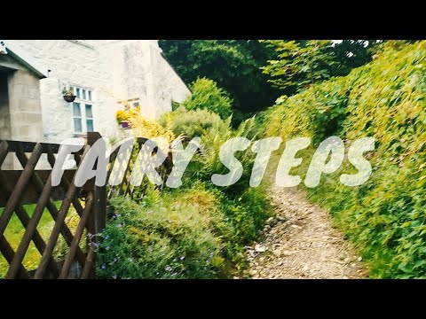
Fairy Steps | VLOG | Part - 2 | Londoncoconut
vlogs #londoncoconut #fairysteps A small vlog during my visit to fairy Steps.

My holiday story
Lake district.

Underlaid Wood
Country Walking Adventure.

Beetham village, the deer park 🦌, the fairy steps and the ancient water corn mill
Beetham village in South West of Cumbria: the deer park, the fairy steps and the ancient corn water mill. Hike with me in this place ...
Nearby Amenities
Located within 500m of 54.20795,-2.787823Have you been to Beetham Fell?
Leave your review of Beetham Fell below (or comments, questions and feedback).