Whinscar Plantation
Wood, Forest in Westmorland South Lakeland
England
Whinscar Plantation

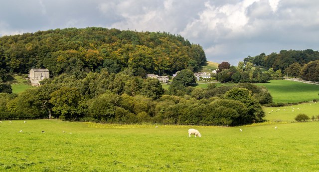
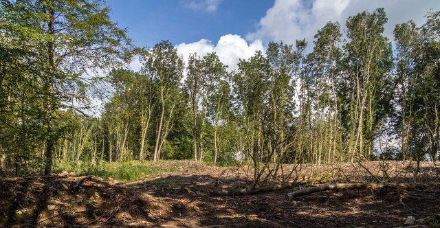
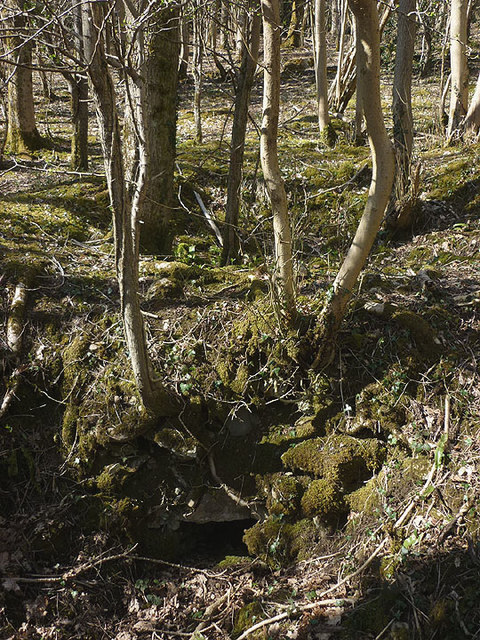
Whinscar Plantation is a picturesque woodland located in the county of Westmorland, in the northwest region of England. Covering an area of approximately 200 acres, this enchanting forest is nestled amidst the rolling hills and valleys of the stunning countryside.
The plantation is predominantly composed of mature oak and beech trees, making it a haven for nature enthusiasts and hikers alike. The towering trees create a dense canopy, allowing only dappled sunlight to filter through to the forest floor, adding to the magical ambiance of the surroundings.
Whinscar Plantation is home to a diverse range of flora and fauna, providing a habitat for a variety of wildlife species. Visitors can spot red squirrels darting between the branches, while woodpeckers tap rhythmically on the trunks. The forest floor is carpeted with bluebells, wild garlic, and ferns, adding pops of color and fragrance to the landscape.
Tranquil walking trails wind their way through the plantation, offering visitors the opportunity to explore its natural beauty. The paths are well-maintained, making it accessible for families and individuals of all ages and abilities.
Due to its idyllic setting, Whinscar Plantation is a popular destination for picnics, photography, and simply escaping the hustle and bustle of everyday life. The peaceful atmosphere and breathtaking scenery make it an ideal spot for relaxation and rejuvenation.
In conclusion, Whinscar Plantation is a stunning woodland retreat, offering a tranquil haven for those seeking solace in nature. Its diverse ecosystem, well-maintained paths, and enchanting beauty make it a must-visit destination in Westmorland.
If you have any feedback on the listing, please let us know in the comments section below.
Whinscar Plantation Images
Images are sourced within 2km of 54.204704/-2.7852929 or Grid Reference SD4879. Thanks to Geograph Open Source API. All images are credited.


Whinscar Plantation is located at Grid Ref: SD4879 (Lat: 54.204704, Lng: -2.7852929)
Administrative County: Cumbria
District: South Lakeland
Police Authority: Cumbria
What 3 Words
///unhappily.unleashed.accented. Near Milnthorpe, Cumbria
Nearby Locations
Related Wikis

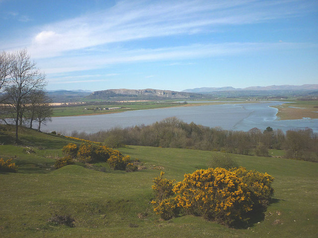
Storth
Storth is a village near Arnside in Cumbria, England, situated near the border with Lancashire. It is in the historic county of Westmorland. The village...

Slack Head
Slack Head, sometimes written Slackhead, is a hamlet near Beetham, South Lakeland, Cumbria, England. It is in Beetham civil parish. It is a purely residential...

Beetham
Beetham is a village and civil parish in the South Lakeland district, in Cumbria, England, situated on the border with Lancashire, 6 miles (10 km) north...
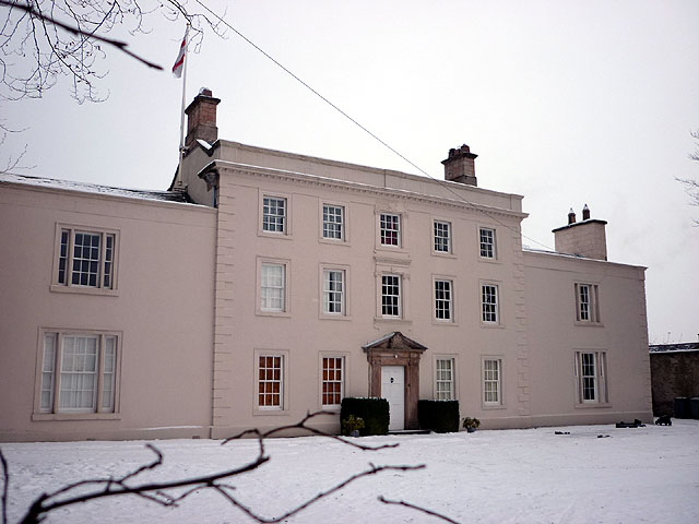
Ashton House, Cumbria
Ashton House is a large country house in Beetham in Cumbria. It is a Grade II* listed building. == History == The house was built in 1678 probably for...

St Michael's Church, Beetham
St Michael's Church is in the village of Beetham, Cumbria, England. It is an active Anglican parish church in the deanery of Kendal, the archdeaconry of...
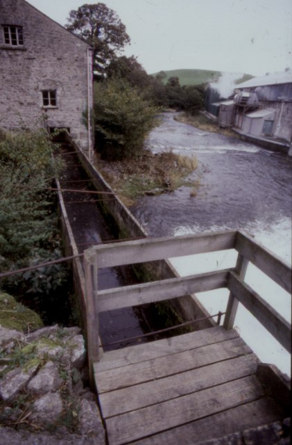
Heron Corn Mill
The Heron Corn Mill is a working 18th-century water mill on the River Bela at Beetham, Cumbria, England. The mill and its mill race are Grade II* listed...

Hazelslack
Hazelslack is a hamlet in the South Lakeland district, in the English county of Cumbria. It is near the villages of Arnside and Storth. Nearby Hazelslack...

Dog Hole Cave
Dog Hole Cave is an archaeologically significant cave near Storth, Cumbria, England. Other names for the cave include Haverbrack Bank Pot, Haverbrack Dog...
Nearby Amenities
Located within 500m of 54.204704,-2.7852929Have you been to Whinscar Plantation?
Leave your review of Whinscar Plantation below (or comments, questions and feedback).