Bampton Fell
Hill, Mountain in Westmorland Eden
England
Bampton Fell
Bampton Fell is a prominent hill/mountain located in Westmorland, England. It is situated in the eastern part of the Lake District National Park, near the village of Bampton. Rising to an elevation of approximately 427 meters (1,401 feet), Bampton Fell offers stunning panoramic views of the surrounding countryside and is a popular destination for outdoor enthusiasts.
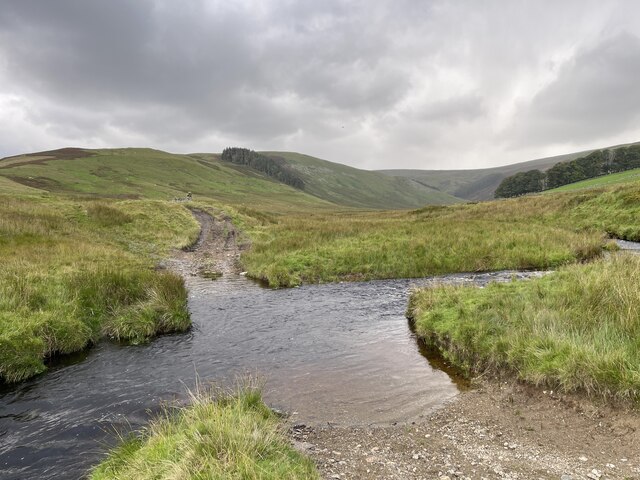
Covered in heather and grassy slopes, Bampton Fell is characterized by its distinctive shape and rugged terrain. The hill/mountain is part of a larger range known as the Far Eastern Fells, which includes other notable peaks such as High Street and Loadpot Hill.
Bampton Fell is renowned for its diverse wildlife and is home to a variety of plant and animal species. Visitors can often spot red grouse, curlews, and other upland birds, as well as occasional sightings of larger mammals such as red deer and foxes.
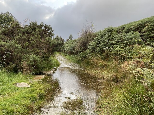
The area surrounding Bampton Fell also boasts several walking and hiking trails, providing opportunities for outdoor enthusiasts to explore the hill/mountain and its surroundings. These trails range in difficulty, catering to both casual walkers and experienced hikers. Many visitors are drawn to Bampton Fell for its peaceful and serene atmosphere, making it an ideal location for those seeking tranquility and natural beauty.
Overall, Bampton Fell is a prominent feature of the Westmorland landscape, offering breathtaking views, diverse wildlife, and excellent outdoor recreational opportunities.
If you have any feedback on the listing, please let us know in the comments section below.
Bampton Fell Images
Images are sourced within 2km of 54.540953/-2.7942265 or Grid Reference NY4816. Thanks to Geograph Open Source API. All images are credited.


Bampton Fell is located at Grid Ref: NY4816 (Lat: 54.540953, Lng: -2.7942265)
Administrative County: Cumbria
District: Eden
Police Authority: Cumbria
What 3 Words
///deprive.ratty.suffer. Near Shap, Cumbria
Nearby Locations
Related Wikis

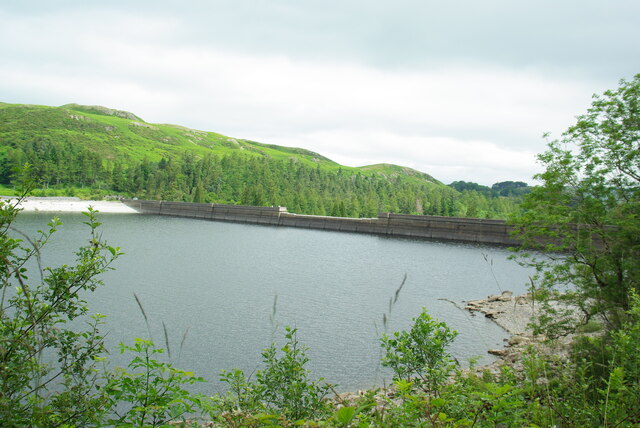
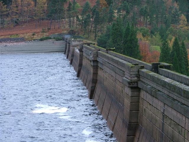
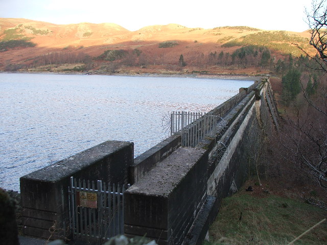
Haweswater Reservoir
Haweswater is a reservoir in the valley of Mardale, Cumbria in the Lake District, England. Work to raise the height of the original natural lake was started...

Naddle Horseshoe
The Naddle Horseshoe is a group of summits in the English Lake District, south of Mardale valley, Cumbria. It is the subject of a chapter of Wainwright...

West Ward Rural District
West Ward was a rural district of the administrative county of Westmorland. The area was directly based on the former West Ward rural sanitary district...

Wether Hill (Lake District)
Wether Hill is a fell in the English Lake District, between Martindale and Haweswater. It lies on the main north-south ridge of the Far Eastern Fells between...

Bampton, Cumbria
Bampton is a village and civil parish in the Westmorland and Furness unitary authority area of Cumbria, England, on the edge of the Lake District National...

Loadpot Hill
Loadpot Hill is a fell in the English Lake District, between Haweswater and Ullswater. == Topography == Although of moderate height, Loadpot Hill and its...
Bomby
Bomby is a village in Cumbria, England. Bomby village consists only of one farm house. The farm is mostly known for its specific potatoes, the Kind Edward...

Butterwick, Cumbria
Butterwick is a hamlet in Cumbria, England, near the village of Helton. == Location grid ==
Nearby Amenities
Located within 500m of 54.540953,-2.7942265Have you been to Bampton Fell?
Leave your review of Bampton Fell below (or comments, questions and feedback).