Allrick Hill

Hill, Mountain in Aberdeenshire

Scotland

Allrick Hill

Weeds and Clashmach Wild wetland with Clashmach Hill behind from Rob's Nook.
Weeds and Clashmach Credit: Andrew Wood

Allrick Hill is a prominent hill located in Aberdeenshire, Scotland. Situated near the village of Alford, it forms part of the picturesque landscape of the region. The hill has an elevation of approximately 350 meters (1,150 feet) and is a popular destination for hikers and outdoor enthusiasts.

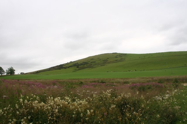
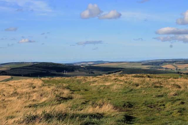
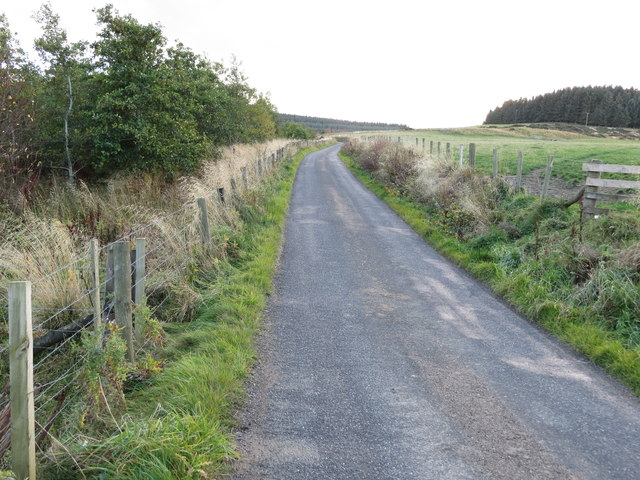
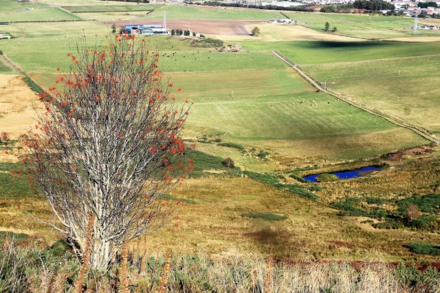
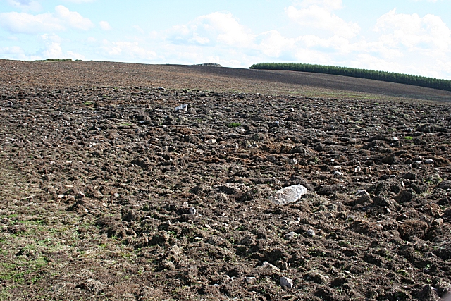
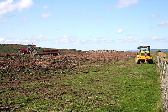
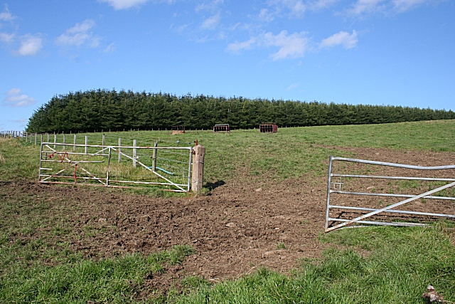
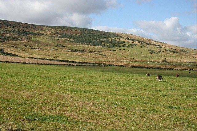
The terrain of Allrick Hill is characterized by rolling slopes and grassy meadows, offering breathtaking panoramic views of the surrounding countryside. The hill is predominantly covered in heather, which creates a vibrant purple hue during the blooming season. It is also home to a variety of wildlife, including red deer, mountain hares, and various bird species.

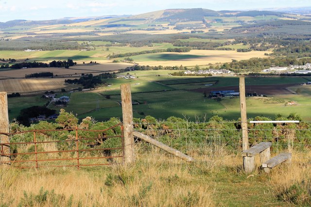
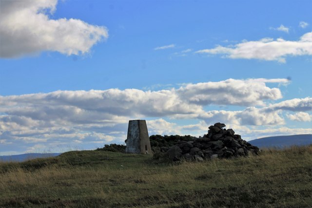
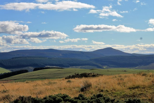
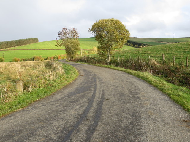
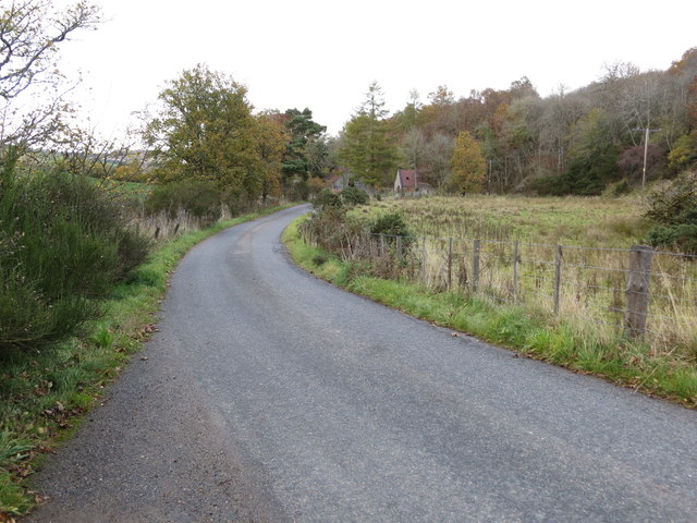
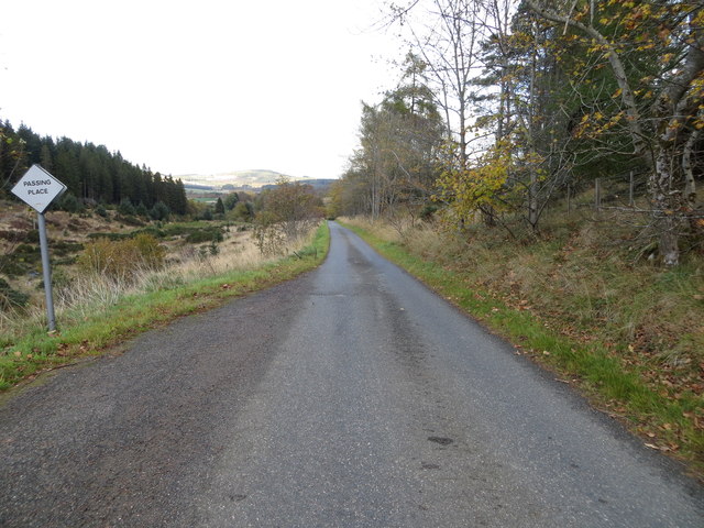
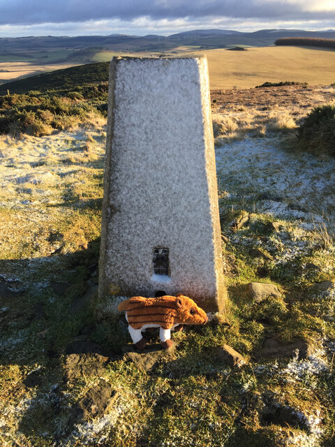
The ascent to the summit of Allrick Hill is relatively moderate, making it accessible to individuals of different fitness levels. There are several established paths and trails that lead to the top, providing a pleasant and enjoyable hiking experience. At the summit, visitors can take in the stunning vistas of Aberdeenshire, with its undulating hills, lush farmland, and distant coastal views.

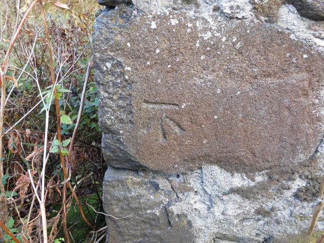
Allrick Hill is not only a natural gem but also holds historical significance. In close proximity to the hill, there are ancient stone circles and burial sites that add to the area's cultural heritage. These sites offer a glimpse into the rich history and heritage of the region.

In conclusion, Allrick Hill in Aberdeenshire is a captivating hill that showcases the beauty of the Scottish countryside. With its picturesque views, diverse wildlife, and historical significance, it is a must-visit destination for nature lovers and history enthusiasts alike.

If you have any feedback on the listing, please let us know in the comments section below.
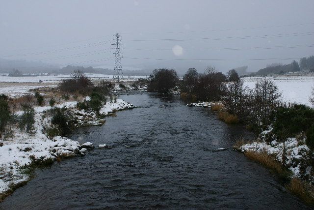
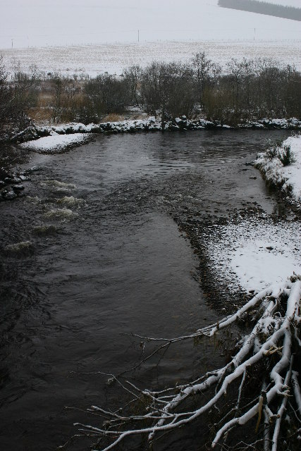
Allrick Hill Images

Images are sourced within 2km of 57.434661/-2.8600131 or Grid Reference NJ4838. Thanks to Geograph Open Source API. All images are credited.

Weeds and Clashmach Wild wetland with Clashmach Hill behind from Rob's Nook.
Weeds and Clashmach
Wild wetland with Clashmach Hill behind from Rob's Nook.
Gate and Stile The last stile to cross to the Clashmach summit, looking back down to Huntly.
Gate and Stile
The last stile to cross to the Clashmach summit, looking back down to Huntly.
Trig Point The trig point and cairn at the top of Clashmach.
Trig Point
The trig point and cairn at the top of Clashmach.
Looking South Scrub land falling away from the trig point of Clashmach. the hill far right is Tap O' Noth.
Looking South
Scrub land falling away from the trig point of Clashmach. the hill far right is Tap O' Noth.
North of Clashmach Both the top of the hill as it starts to descend and the hills to the north.
North of Clashmach
Both the top of the hill as it starts to descend and the hills to the north.
Lane leading to Wellheads Looking eastward.
Lane leading to Wellheads
Looking eastward.
Minor road approaching Tigh Fada Looking north-eastward.
Minor road approaching Tigh Fada
Looking north-eastward.
Minor road between Lower Gordonsburn and Tigh Fada Looking north-eastward.
Minor road between Lower Gordonsburn and Tigh Fada
Looking north-eastward.
Minor road between Lower Gordonsburn and Bailiesward Looking south-westward.
Minor road between Lower Gordonsburn and Bailiesward
Looking south-westward.
Ordnance Survey Cut Mark This mark can be found on the wall of a roadside building at Tigh Fada. The benchmark height is recorded as being 176.772 metres above sea level.
For more detail see : <span class="nowrap"><a title="https://www.bench-marks.org.uk/bm101700" rel="nofollow ugc noopener" href="https://www.bench-marks.org.uk/bm101700">Link</a><img style="margin-left:2px;" alt="External link" title="External link - shift click to open in new window" src="https://s1.geograph.org.uk/img/external.png" width="10" height="10"/></span>
Ordnance Survey Cut Mark
This mark can be found on the wall of a roadside building at Tigh Fada. The benchmark height is recorded as being 176.772 metres above sea level. For more detail see : LinkExternal link
Clasmach Hill Trig Point Flush Bracket S6198 Clasmach Hill Trig Point Flush Bracket S6198, not sure about the 'pig' think it might have been a geocaching trackable?
Clasmach Hill Trig Point Flush Bracket S6198
Clasmach Hill Trig Point Flush Bracket S6198, not sure about the 'pig' think it might have been a geocaching trackable?
Pathside Rowan A rowan growing by the path with a view downhill.
Pathside Rowan
A rowan growing by the path with a view downhill.
Ploughed Field This exposed field looked an unlikely candidate for the usual crops, and the furrows look too shallow for trees, but I was told that it is to be sown with grass.
Ploughed Field
This exposed field looked an unlikely candidate for the usual crops, and the furrows look too shallow for trees, but I was told that it is to be sown with grass.
Clearing the Stones from the Field There were two woman and a man picking stones off the field and throwing them into the slow-moving trailer, which then dumped the stones on the ramp in the background. From the number of stones I saw, it would take weeks to clear them all, but they were just removing the largest ones. That definitely comes under the heading of hard labour.
Clearing the Stones from the Field
There were two woman and a man picking stones off the field and throwing them into the slow-moving trailer, which then dumped the stones on the ramp in the background. From the number of stones I saw, it would take weeks to clear them all, but they were just removing the largest ones. That definitely comes under the heading of hard labour.
Gates The gates had been left open to allow the cattle to wander from one field into the other.
Gates
The gates had been left open to allow the cattle to wander from one field into the other.
Looking Towards Clashmach Hill The summit ridge is in the next square, but all the cultivated land is in this square. The top of the hill is 375 metres above sea level, but it commands an excellent view all round.
Looking Towards Clashmach Hill
The summit ridge is in the next square, but all the cultivated land is in this square. The top of the hill is 375 metres above sea level, but it commands an excellent view all round.
River Deveron Looking N (downstream) from position
River Deveron
Looking N (downstream) from position
River Deveron Looking S (upstream) from position.
River Deveron
Looking S (upstream) from position.
Show me another place!

Allrick Hill is located at Grid Ref: NJ4838 (Lat: 57.434661, Lng: -2.8600131)

Unitary Authority: Aberdeenshire

Police Authority: North East

What 3 Words

///tram.bullion.choppy. Near Huntly, Aberdeenshire

Nearby Locations

Allrick Hill

Related Wikis

Kye Hill

Kye Hill is a hill by Huntly, Aberdeenshire, Scotland. It lies southwest of The Clashmach hill and is nearly the same height. There is a former limestone...

Torry Burn, Huntly

Torry Burn is a burn which marks the boundary of the parish of Huntly, Aberdeenshire, Scotland. == References ==

Dunbennan

Dunbennan is a settlement near Huntly, Aberdeenshire, Scotland. The name comes from the Gaelic dun-beinnean, or the fort of the little hill, and originally...

Burn of Tullochbeg

Burn of Tullochbeg is a burn which marks the boundary of the parish of Huntly, Aberdeenshire, Scotland. == References ==

Jubilee Hospital, Huntly

The Jubilee Hospital is a community hospital in Huntly, Aberdeenshire, Scotland. It is managed by NHS Grampian. == History == The hospital, which was financed...

Huntly

Huntly (Scottish Gaelic: Srath Bhalgaidh or Hunndaidh) is a town in Aberdeenshire, Scotland, formerly known as Milton of Strathbogie or simply Strathbogie...

Stewart's Hall

Stewart's Hall, formerly Huntly Town Hall, is a municipal structure in Gordon Street, Huntly, Aberdeenshire, Scotland. The structure, which is used as...

Deveron Projects

Deveron Projects, formerly Deveron Arts, is a United Kingdom arts organisation based in Huntly, Aberdeenshire, Scotland that hosts international artists...

Have you been to Allrick Hill?

Leave your review of Allrick Hill below (or comments, questions and feedback).