Beacon Batch

Hill, Mountain in Somerset Mendip

England

Beacon Batch

Rhodyate Hill Farm
Rhodyate Hill Farm Credit: Tim

Beacon Batch, also known as locally as Crook Peak, is a prominent hill located in Somerset, England. It is situated within the Mendip Hills, a designated Area of Outstanding Natural Beauty. With an elevation of 260 meters (853 feet), Beacon Batch offers stunning panoramic views of the surrounding countryside and coastline.

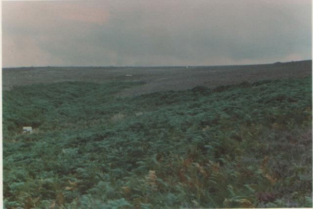
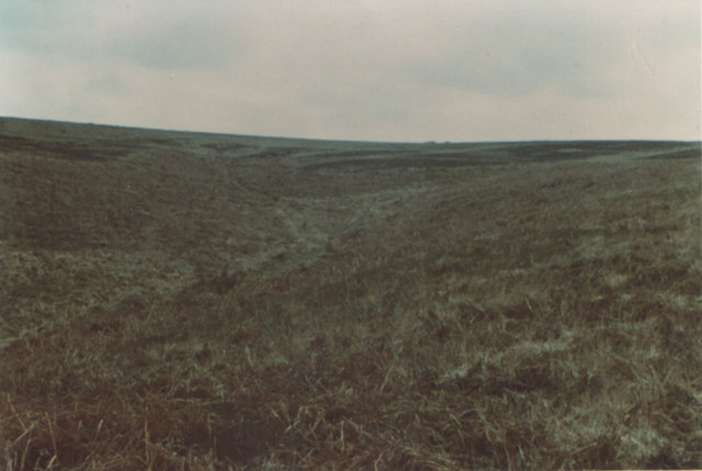
The hill is formed predominantly of limestone, which is characteristic of the Mendip Hills region. It is covered with a variety of grasses, heather, and scrubland, providing a diverse habitat for various plant and animal species. The area is particularly known for its rich butterfly population, with species such as the Adonis Blue and Silver-studded Blue being commonly spotted.

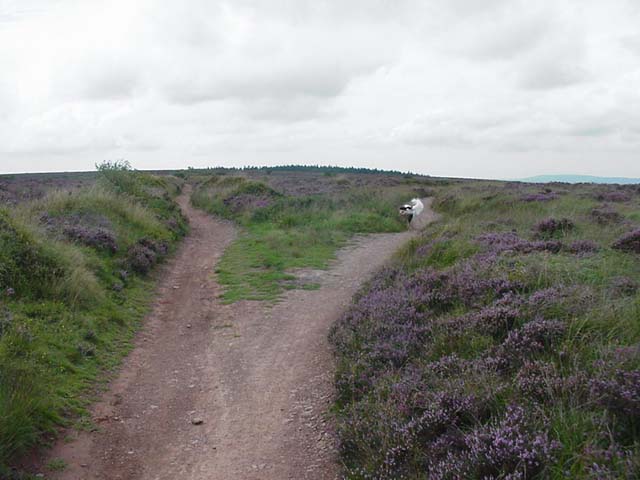
Beacon Batch is a popular destination for hikers, walkers, and nature enthusiasts. There are well-defined footpaths and trails that lead to the summit, making it accessible for people of all ages and abilities. The hill is also a favorite spot for paragliding enthusiasts, as the strong updrafts and clear views make it an ideal launching point.

At the summit of Beacon Batch, there is a trig point and a stone beacon, which is believed to have been used for signaling purposes in the past. This adds historical significance to the hill, as it played a role in communication and navigation during earlier times.

Overall, Beacon Batch is a picturesque and diverse hill in Somerset, offering stunning views, diverse wildlife, and recreational opportunities for visitors. It stands as a testament to the natural beauty and heritage of the Mendip Hills.

If you have any feedback on the listing, please let us know in the comments section below.
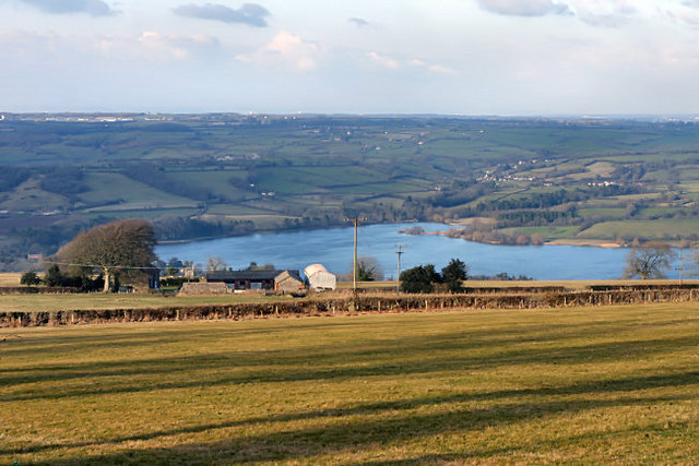
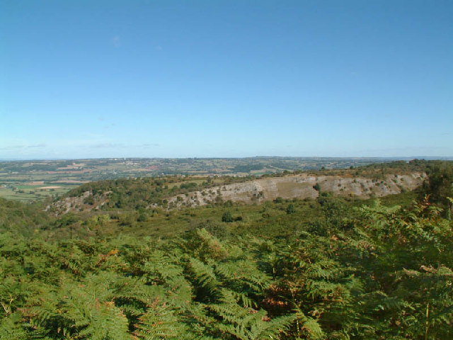
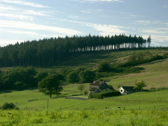
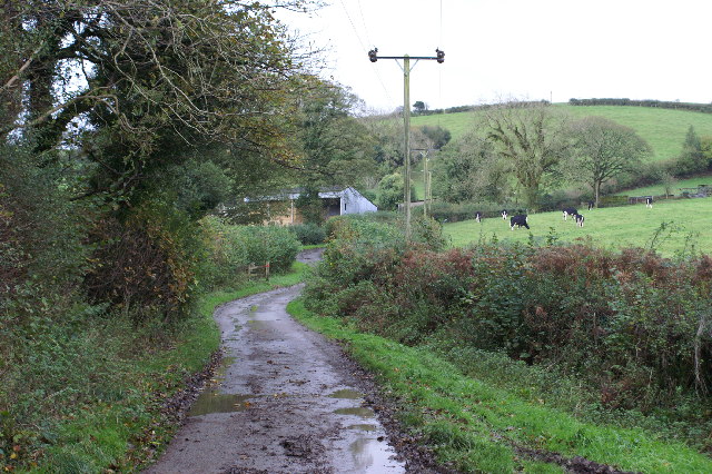
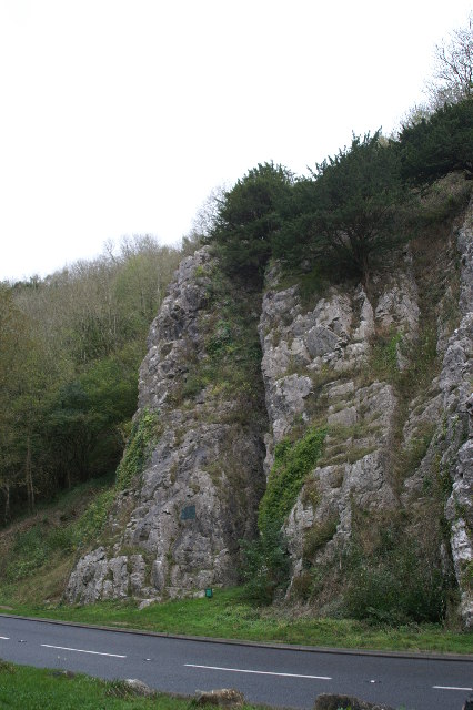
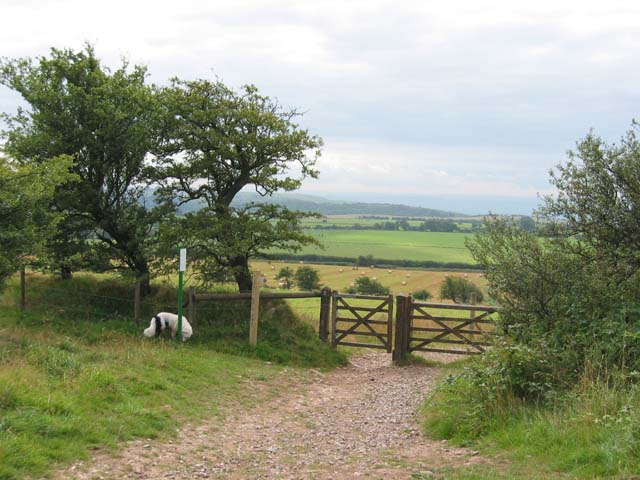
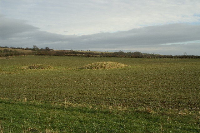
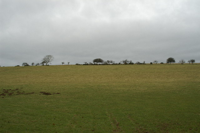
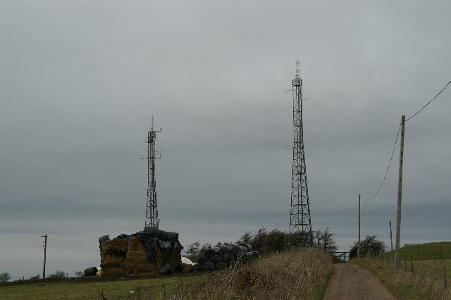
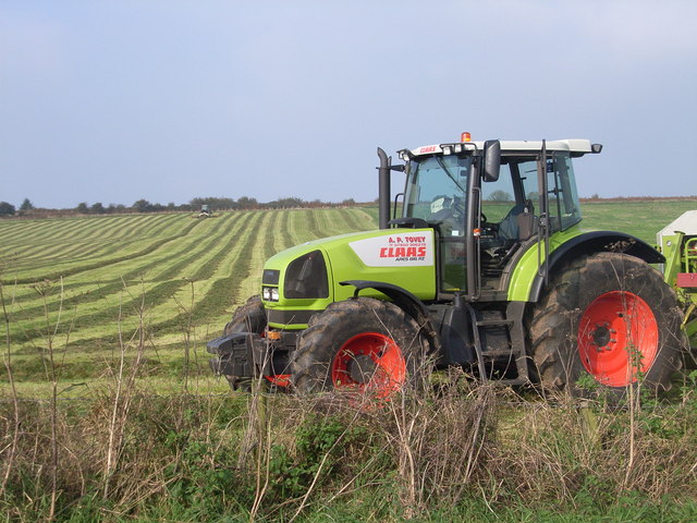
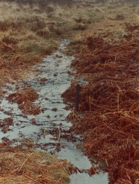
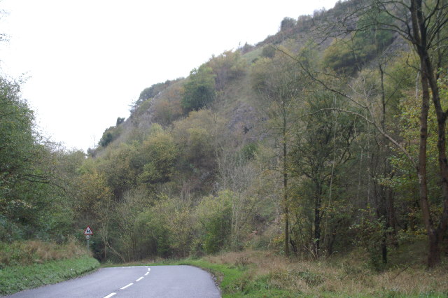
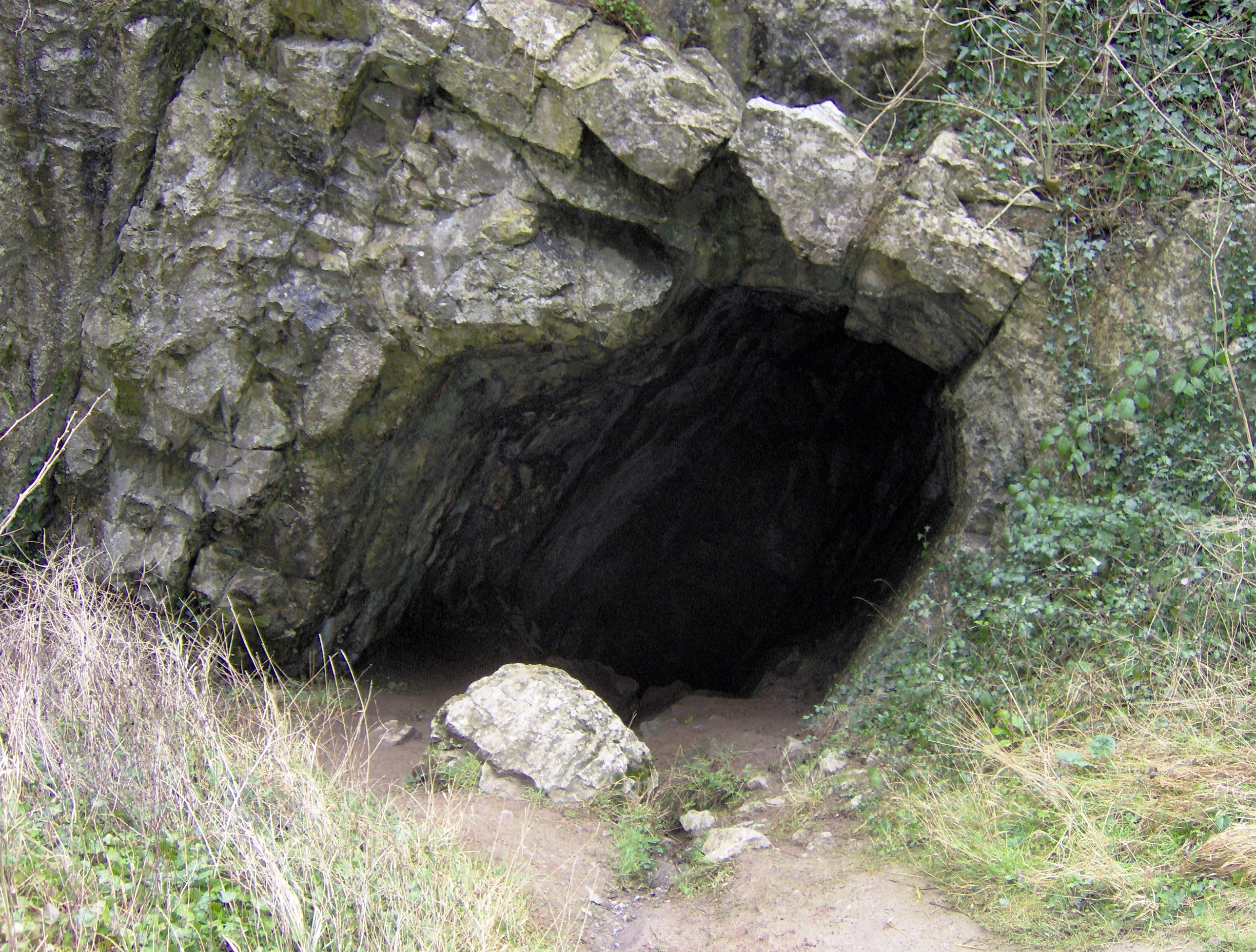
Beacon Batch Images

Images are sourced within 2km of 51.312151/-2.7408328 or Grid Reference ST4857. Thanks to Geograph Open Source API. All images are credited.

Rhodyate Hill Farm
Rhodyate Hill Farm
Burrington Combe The cliffs of Burrington Combe from the lower slopes of Black Down
Burrington Combe
The cliffs of Burrington Combe from the lower slopes of Black Down
On Beacon Batch The view from near the highest point in the Mendips. The Mendip hills are mostly made of limestone, but here older sandstones survive with a decrease in fertility, hence the moorland. The view north is dominated by Blagdon  Lake which supplies Bristol.
On Beacon Batch
The view from near the highest point in the Mendips. The Mendip hills are mostly made of limestone, but here older sandstones survive with a decrease in fertility, hence the moorland. The view north is dominated by Blagdon Lake which supplies Bristol.
Near Tyning's Farm, looking North West Near Tyning's Farm, looking North West towards the managed woodland in Rowberrow Warren
Near Tyning's Farm, looking North West
Near Tyning's Farm, looking North West towards the managed woodland in Rowberrow Warren
Middle Ellick Farm
Middle Ellick Farm
Top of Burrington Combe
Rock of Ages Cleft in the rock inspired Rev A M Toplady to write the hymn 'Rock of Ages' after he sheltered here during a storm in 1767.
Rock of Ages
Cleft in the rock inspired Rev A M Toplady to write the hymn 'Rock of Ages' after he sheltered here during a storm in 1767.
Stile above Tynings Farm Looking South
Stile above Tynings Farm
Looking South
Footpaths on Blackdown Looking West. The hill in the right background is Worlebury, near Weston-super-Mare. The paths here are criss-crossed by lines of mounds about 1.5metres high ; said to have been made to stop enemy planes landing in WWII.
Footpaths on Blackdown
Looking West. The hill in the right background is Worlebury, near Weston-super-Mare. The paths here are criss-crossed by lines of mounds about 1.5metres high ; said to have been made to stop enemy planes landing in WWII.
Tumulus Near Tyning Farm
Tumulus
Near Tyning Farm
Radio Transmitters
Radio Transmitters
Tractor working near Tynings farm taken late autumn afternoon
Tractor working near Tynings farm
taken late autumn afternoon
Ephemeral Channel Pipeflow and interflow combine, with surface runoff between heather ling clumps and peat mounds, to form an ephemeral channel migrating down channel. This moves forward on the drier soils, the stream advancing in form. Peaty podzol, East Twin Brook, Blackdown Hills ORS, Mendip. source Research: 
MD Stagg University of Bristol thesis copyright 1973 and Dr Weyman MJ Kirkby LF Curtis 1969 and 1970.
That which stuns me is the erosion increase at Beacon Batch, south end headwater at the watershed, Richard Webb 2000 <a href="https://www.geograph.org.uk/photo/8099">ST4857 : On Beacon Batch</a>.
This picture is the basin head of the east tributary depression, winter bracken to the side, exact date uncertain, 1970 is given nearest to flume completion, closest flow record.
Ephemeral Channel
Pipeflow and interflow combine, with surface runoff between heather ling clumps and peat mounds, to form an ephemeral channel migrating down channel. This moves forward on the drier soils, the stream advancing in form. Peaty podzol, East Twin Brook, Blackdown Hills ORS, Mendip. source Research: MD Stagg University of Bristol thesis copyright 1973 and Dr Weyman MJ Kirkby LF Curtis 1969 and 1970. That which stuns me is the erosion increase at Beacon Batch, south end headwater at the watershed, Richard Webb 2000 ST4857 : On Beacon Batch. This picture is the basin head of the east tributary depression, winter bracken to the side, exact date uncertain, 1970 is given nearest to flume completion, closest flow record.
Moorland summer East Twin Brook Mendip Hills Blackdown ORS Peaty Podzol Ashen 
bracken and ling moorland
Flume discharge 3 was removed January 1971 
and the base unit by Darrell Weyman by 1973
Moorland summer
East Twin Brook Mendip Hills Blackdown ORS Peaty Podzol Ashen bracken and ling moorland Flume discharge 3 was removed January 1971 and the base unit by Darrell Weyman by 1973
Moorland winter The basin of East Twin Brook headwater with fallen bracken
after Weyman before Stagg nearest estimate on the research record set
is Tuesday 09 December 1969, if weather is correct.
It does illustrate the difference now and 1978 compared to 
managed moorland prior to the research (Derek Findlay: Soil Survey)
Moorland winter
The basin of East Twin Brook headwater with fallen bracken after Weyman before Stagg nearest estimate on the research record set is Tuesday 09 December 1969, if weather is correct. It does illustrate the difference now and 1978 compared to managed moorland prior to the research (Derek Findlay: Soil Survey)
Show me another place!

Beacon Batch is located at Grid Ref: ST4857 (Lat: 51.312151, Lng: -2.7408328)

Administrative County: Somerset

District: Mendip

Police Authority: Avon and Somerset

What 3 Words

///historic.singers.advancing. Near Burrington, Somerset

Related Wikis

Nearby Amenities

Located within 500m of 51.312151,-2.7408328
Beacon Batch
Ele: 325
Man Made: survey_point
Natural: peak
Tpuk Ref: TP1472
Lat/Long: 51.3121253/-2.7408652
The data included in this document is from www.openstreetmap.org. The data is made available under ODbL.

Have you been to Beacon Batch?

Leave your review of Beacon Batch below (or comments, questions and feedback).