Adam Seat

Hill, Mountain in Westmorland South Lakeland

England

Adam Seat

Taking a break on Harter Fell A 'geograph' contributor studies the map whilst taking a break on Harter Fell. The view is north west towards High Street with a glimpse of Blea Water.
Taking a break on Harter Fell Credit: Gordon Hatton

Adam Seat is a prominent hill located in the county of Cumbria, England, specifically within the area known as Westmorland. Rising to an elevation of approximately 673 meters (2,208 feet), it forms part of the larger range of hills known as the Howgill Fells, which are situated in the northern part of the Yorkshire Dales National Park.

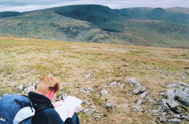
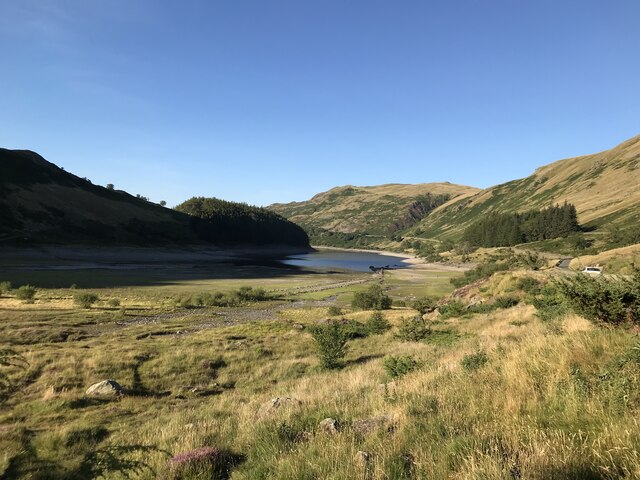
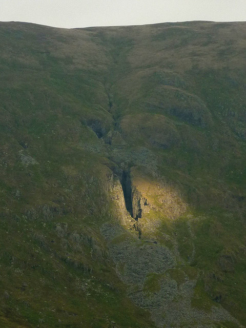
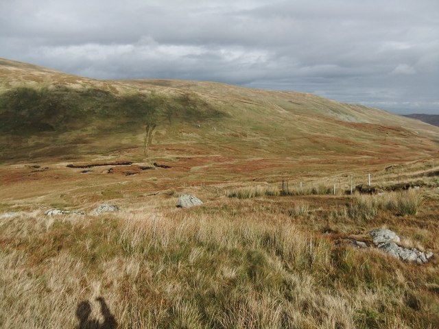
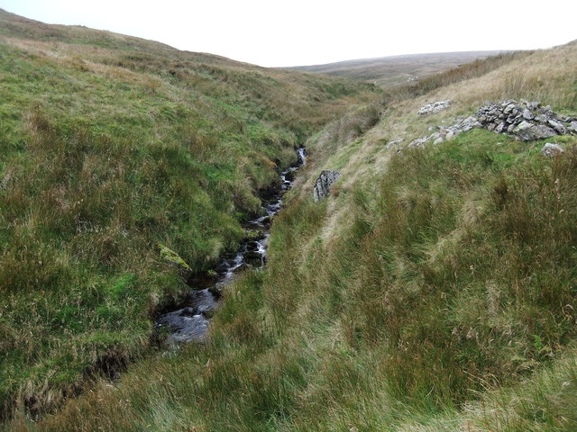
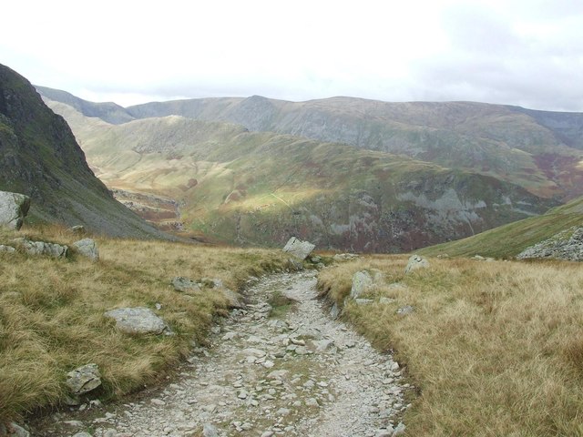
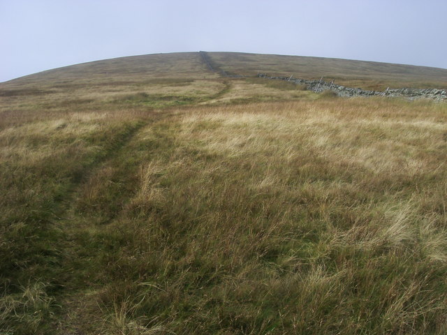
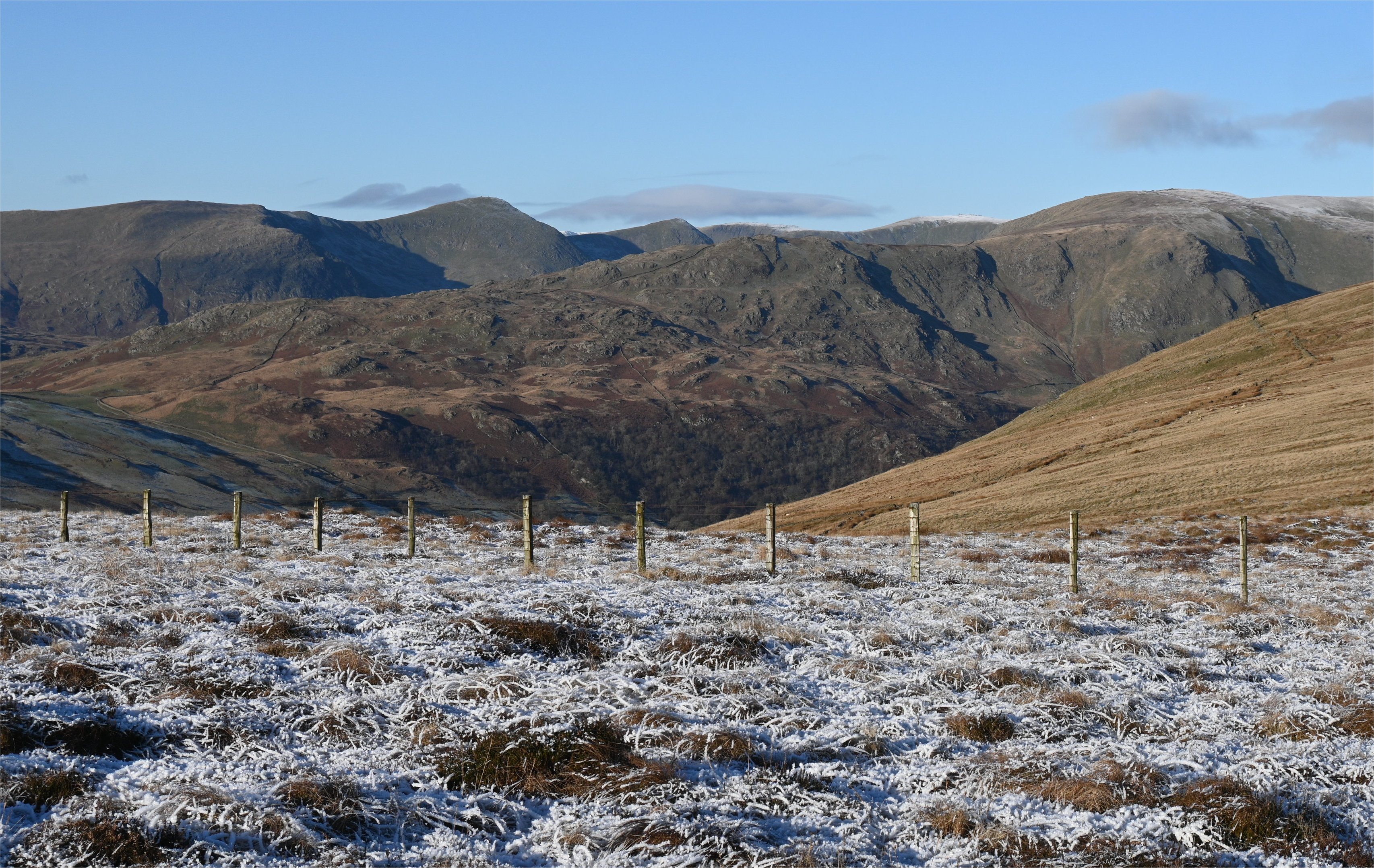
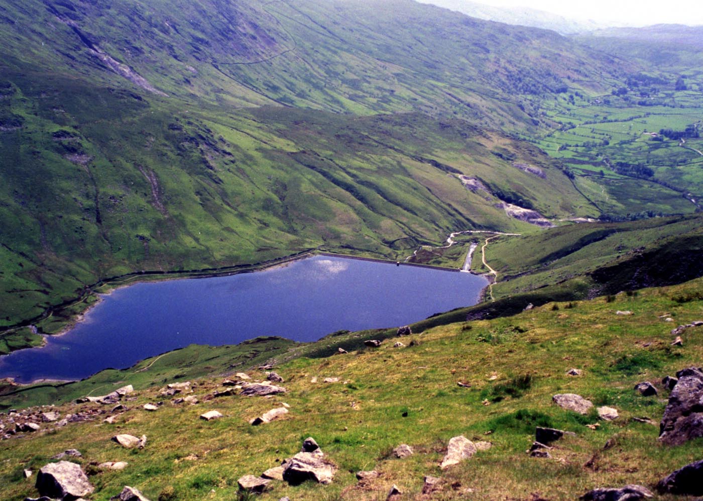
The distinctive shape of Adam Seat makes it easily identifiable, with its summit resembling a chair or throne, hence its name. It is a popular destination for hikers, walkers, and outdoor enthusiasts due to its accessibility and stunning panoramic views of the surrounding countryside. From the summit, visitors can enjoy breathtaking vistas of the nearby valleys, including the Lune Valley to the east and the Rawthey Valley to the west.

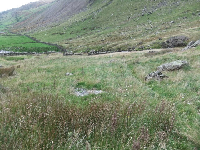
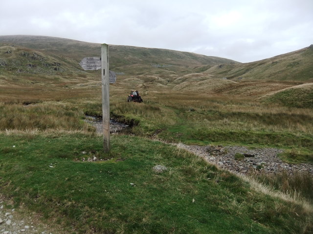
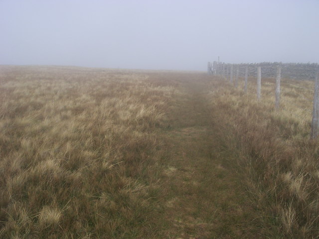
The ascent to Adam Seat can be challenging in parts, particularly along the steep eastern slopes. However, there are several well-defined footpaths and trails that allow hikers to reach the summit, making it a popular choice for both experienced and novice walkers. During the ascent, walkers may encounter a variety of wildlife and plant species, adding to the natural beauty of the area.

The hill, being part of the Howgill Fells, is composed of sedimentary rocks, mainly limestone and sandstone, which have been shaped over millions of years by glacial and erosional processes. This geological history contributes to the unique landscape found on and around Adam Seat.

Overall, Adam Seat in Westmorland offers outdoor enthusiasts a rewarding and picturesque experience, combining challenging climbs with breathtaking views, making it a must-visit location for those seeking to explore the beauty of the Yorkshire Dales National Park.

If you have any feedback on the listing, please let us know in the comments section below.
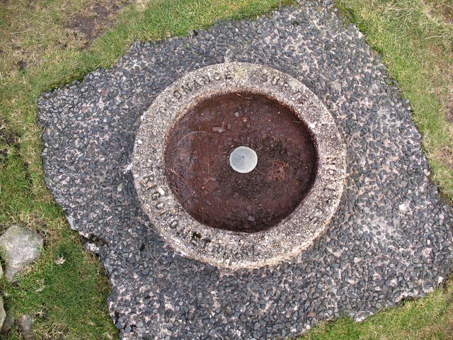
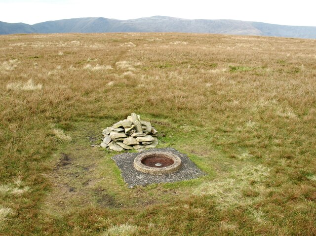
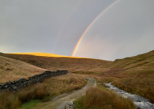
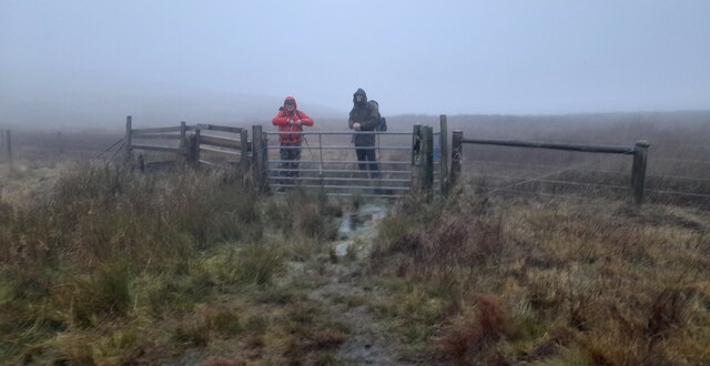
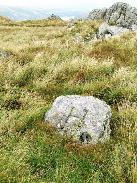
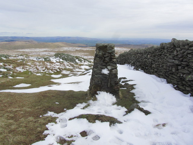
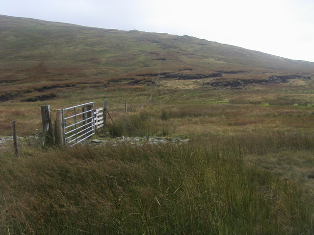
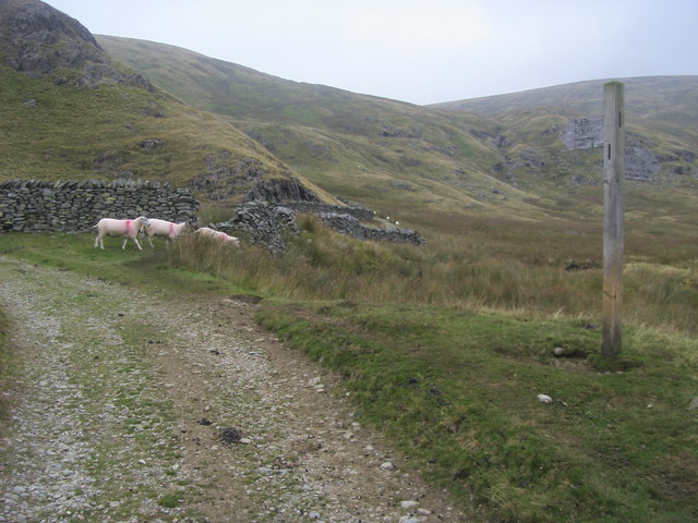
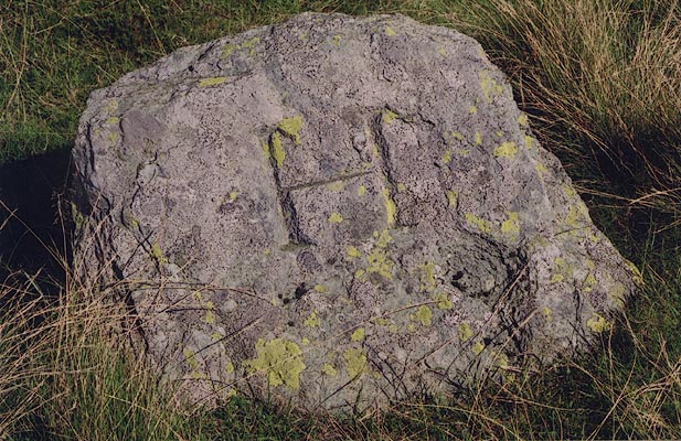
Adam Seat Images

Images are sourced within 2km of 54.474238/-2.8175619 or Grid Reference NY4709. Thanks to Geograph Open Source API. All images are credited.

Taking a break on Harter Fell A 'geograph' contributor studies the map whilst taking a break on Harter Fell. The view is north west towards High Street with a glimpse of Blea Water.
Taking a break on Harter Fell
A 'geograph' contributor studies the map whilst taking a break on Harter Fell. The view is north west towards High Street with a glimpse of Blea Water.
Concrete Ring Trigonometrical Station Detail of the Ordnance Survey trigonometrical station on the summit of Artlecrag Pike, commonly referred to as Branstree, marked by a concrete ring inscribed ‘Ordnance Survey Trigonometrical Station’. Named by the Ordnance Survey as Selside Brow (the slope of land to the south), the conical brass bolt in the centre of the ring marking the precise location of the trigonometrical station is set into a concrete block. The trigonometrical station marks a point 711.098m above sea level (Ordnance Datum Newlyn) last levelled in 1961 (location photograph <a href="https://www.geograph.org.uk/photo/7238451">NY4709 : The summit of Branstree</a>).
Concrete Ring Trigonometrical Station
Detail of the Ordnance Survey trigonometrical station on the summit of Artlecrag Pike, commonly referred to as Branstree, marked by a concrete ring inscribed ‘Ordnance Survey Trigonometrical Station’. Named by the Ordnance Survey as Selside Brow (the slope of land to the south), the conical brass bolt in the centre of the ring marking the precise location of the trigonometrical station is set into a concrete block. The trigonometrical station marks a point 711.098m above sea level (Ordnance Datum Newlyn) last levelled in 1961 (location photograph NY4709 : The summit of Branstree).
The summit of Branstree The rounded grassy summit of Branstree, also known as Artlecrag Pike, is adorned with a small cairn and an Ordnance Survey concrete ring trigonometrical station. Named by the Ordnance Survey as Selside Brow (the slope of land to the south), the trigonometrical station marks a point 711.098m above sea level (Ordnance Datum Newlyn) last levelled in 1961 (photograph <a href="https://www.geograph.org.uk/photo/7238279">NY4709 : Concrete Ring Trigonometrical Station</a>).
The highest summit on the ridge in the background is High Raise.
The summit of Branstree
The rounded grassy summit of Branstree, also known as Artlecrag Pike, is adorned with a small cairn and an Ordnance Survey concrete ring trigonometrical station. Named by the Ordnance Survey as Selside Brow (the slope of land to the south), the trigonometrical station marks a point 711.098m above sea level (Ordnance Datum Newlyn) last levelled in 1961 (photograph NY4709 : Concrete Ring Trigonometrical Station). The highest summit on the ridge in the background is High Raise.
Old drove road at the head of Sleddale Old drove road at the head of Sleddale with the rainbow over Branstree.
Old drove road at the head of Sleddale
Old drove road at the head of Sleddale with the rainbow over Branstree.
Gate On Path Near Selside Brow My walking companions wait for me at a gate on the footpath near Selside Brow.
Gate On Path Near Selside Brow
My walking companions wait for me at a gate on the footpath near Selside Brow.
Old Boundary Marker on Little Harter Fell Estate Boundary Marker at the summit of Little Harter Fell. Inscribed H and L on opposite faces, which refer the Harrison and Lowther estates. On the boundary of Longsleddale and Shap Rural parishes. See also <span class="nowrap"><a title="http://www.geog.port.ac.uk/webmap/thelakes/photos/bjf03.jpg" rel="nofollow ugc noopener" href="http://www.geog.port.ac.uk/webmap/thelakes/photos/bjf03.jpg">Link</a><img style="margin-left:2px;" alt="External link" title="External link - shift click to open in new window" src="https://s1.geograph.org.uk/img/external.png" width="10" height="10"/></span> and <span class="nowrap"><a title="http://www.geog.port.ac.uk/webmap/thelakes/photos/bjf04.jpg" rel="nofollow ugc noopener" href="http://www.geog.port.ac.uk/webmap/thelakes/photos/bjf04.jpg">Link</a><img style="margin-left:2px;" alt="External link" title="External link - shift click to open in new window" src="https://s1.geograph.org.uk/img/external.png" width="10" height="10"/></span>.

Milestone Society National ID: WE_SHALON06em
Old Boundary Marker on Little Harter Fell
Estate Boundary Marker at the summit of Little Harter Fell. Inscribed H and L on opposite faces, which refer the Harrison and Lowther estates. On the boundary of Longsleddale and Shap Rural parishes. See also LinkExternal link and LinkExternal link. Milestone Society National ID: WE_SHALON06em
Falling water levels at Mardale Head A number of walls and tracks of the submerged village of Mardale Green are visible
Falling water levels at Mardale Head
A number of walls and tracks of the submerged village of Mardale Green are visible
Trig point on Kentmere Pike - view SE
Spotlight on Hart Crag Quarry, Kentmere A single beam of sunlight picks out the great gash of Hart Crag Quarry on the eastern flank of Kentmere. It was worked in the 18th and 19th centuries. We once followed the one-way tracks of a fox in the snow up to here.
Spotlight on Hart Crag Quarry, Kentmere
A single beam of sunlight picks out the great gash of Hart Crag Quarry on the eastern flank of Kentmere. It was worked in the 18th and 19th centuries. We once followed the one-way tracks of a fox in the snow up to here.
North slope of Tarn Crag
Sheepfold, Longsleddale
Signpost at head of Longsleddale
Great Grain Gill
Great Grain Gill
Gatescarth Pass begins to descend steeply
Path following the fence The path following the fence from the Gatesgarth Pass nearing the junction with the wall and Branstree summit to the left
Path following the fence
The path following the fence from the Gatesgarth Pass nearing the junction with the wall and Branstree summit to the left
Selside Brow On Selside Brow the path heading up to Branstree
Selside Brow
On Selside Brow the path heading up to Branstree
Gate to Mosedale The path to Tarn Crag passes the gate to the bridleway to Mosedale
Gate to Mosedale
The path to Tarn Crag passes the gate to the bridleway to Mosedale
Brownhowe Bottom From Brownhowe Bottom the byway heading to the Gatescarth Pass and the bridleway to Mosedale off to the right
Brownhowe Bottom
From Brownhowe Bottom the byway heading to the Gatescarth Pass and the bridleway to Mosedale off to the right
Show me another place!

Adam Seat is located at Grid Ref: NY4709 (Lat: 54.474238, Lng: -2.8175619)

Administrative County: Cumbria

District: South Lakeland

Police Authority: Cumbria

What 3 Words

///chill.blown.entertainer. Near Ambleside, Cumbria

Nearby Locations

Adam Seat

Related Wikis

Nearby Amenities

Located within 500m of 54.474238,-2.8175619
Adam Seat
Ele: 666
Place: locality
Lat/Long: 54.4741885/-2.8175217
Ford: yes
Lat/Long: 54.4775075/-2.813078
Barrier: stile
Stile: fence
Lat/Long: 54.4743669/-2.8176117
The data included in this document is from www.openstreetmap.org. The data is made available under ODbL.

Have you been to Adam Seat?

Leave your review of Adam Seat below (or comments, questions and feedback).