Robin's Knowe
Hill, Mountain in Selkirkshire
Scotland
Robin's Knowe
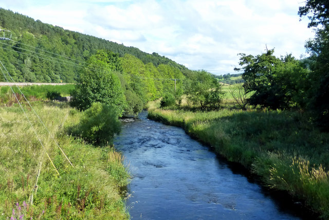
Robin's Knowe is a prominent hill located in Selkirkshire, a historic county in southern Scotland. The hill is situated near the town of Selkirk and forms part of the stunning landscape of the Scottish Borders region. Standing at an elevation of approximately 393 meters (1,289 feet), it offers breathtaking panoramic views of the surrounding countryside.
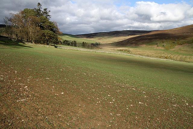
Covered in lush greenery, Robin's Knowe is characterized by its gentle slopes and rolling terrain. The hill is mainly composed of sedimentary rocks, which date back millions of years to the Carboniferous period. These rocks, along with the fertile soil, contribute to the rich biodiversity found on the hill.
The vegetation on Robin's Knowe is varied and includes a mix of grasses, heather, and woodland areas. The hill is home to numerous plant species, such as bluebells, harebells, and primroses, which burst into vibrant colors during the spring and summer months. The diverse flora provides a habitat for a wide range of wildlife, including birds, mammals, and insects.
Robin's Knowe is a popular destination for outdoor enthusiasts, offering opportunities for hiking, walking, and nature exploration. There are several well-marked trails that wind their way up the hill, providing visitors with the chance to immerse themselves in the stunning natural surroundings. The summit of Robin's Knowe rewards hikers with breathtaking views of the picturesque countryside, including the rolling hills, farmland, and nearby rivers.
Overall, Robin's Knowe is a captivating hill in Selkirkshire, attracting nature lovers and adventurers alike with its stunning views, diverse flora and fauna, and peaceful ambiance.
If you have any feedback on the listing, please let us know in the comments section below.
Robin's Knowe Images
Images are sourced within 2km of 55.640544/-2.8417043 or Grid Reference NT4738. Thanks to Geograph Open Source API. All images are credited.


Robin's Knowe is located at Grid Ref: NT4738 (Lat: 55.640544, Lng: -2.8417043)
Unitary Authority: The Scottish Borders
Police Authority: The Lothians and Scottish Borders
What 3 Words
///originals.clogging.seemingly. Near Galashiels, Scottish Borders
Nearby Locations
Related Wikis
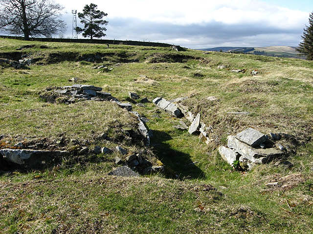
Torwoodlee Broch
Torwoodlee Broch is the remains of an iron-age broch located near the town of Galashiels in the Scottish Borders. == Description == Torwoodlee Broch...

Buckholm
Buckholm is a farm near to the A7, in the Scottish Borders, Galashiels area of Scotland. Places nearby include Abbotsford, the Bow Castle Broch, Clovenfords...

Bowland railway station
Bowland railway station (Bowland Bridge between May 1849 and July 1862) was a railway station in the village of Bowland, near Galashiels, Scotland. Located...

Bowshank
Bowshank is a village in the Scottish Borders area of Scotland, close to the A7, beside the Gala Water. Nearby are Bow Castle Broch, as well as Buckholm...
Related Videos

🦆🐝🐎🐏 Walking from the farm to the hilltop
LIVE: Walking from the farm to the hilltop. Subscribe at Happs: https://happs.tv/post/rcJGqeSP8AYJkH6YGOIx #travel ...

Meigle Hill ‘Megalithic Putting Stone’....Galashiels 2020 🏴
Wallace's Putting Stone is located on the summit of Meigle Hill Galashiels its enormous a glacial erratic boulder. The stone is ...

Live Test @Torwoodlee Tower
Testing the live stream on YouTube from my phone while on a walk from Galashiels to the Torwoodlee estate. A useful option I'll ...

Meigle Hill Galashiels Scottish Borders.........2020 🏴
There's a hill overlooking the old town of Gala that has a special place in my heart its where the moss grows soft red squirrels ...
Nearby Amenities
Located within 500m of 55.640544,-2.8417043Have you been to Robin's Knowe?
Leave your review of Robin's Knowe below (or comments, questions and feedback).