Creag na Slice
Hill, Mountain in Aberdeenshire
Scotland
Creag na Slice
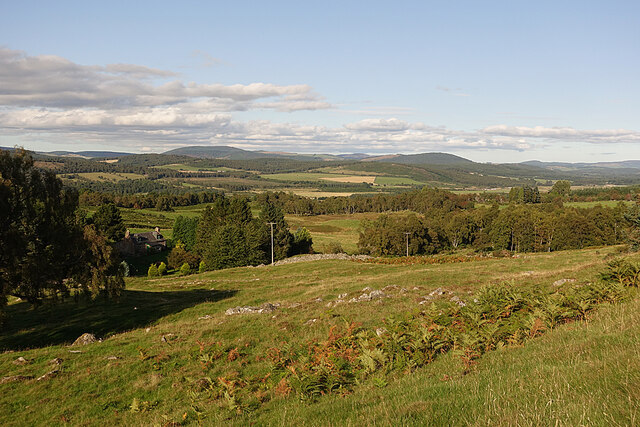
Creag na Slice is a prominent hill located in Aberdeenshire, Scotland. Situated in the eastern part of the region, it forms part of the Grampian Mountains. Rising to an elevation of approximately 656 meters (2,152 feet), it offers breathtaking panoramic views of the surrounding countryside.
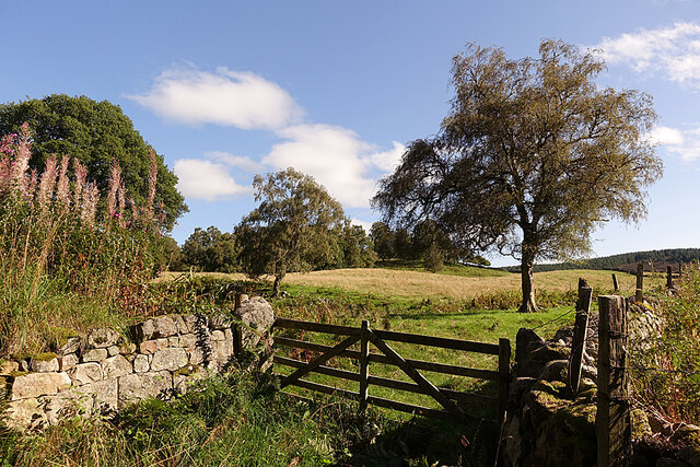
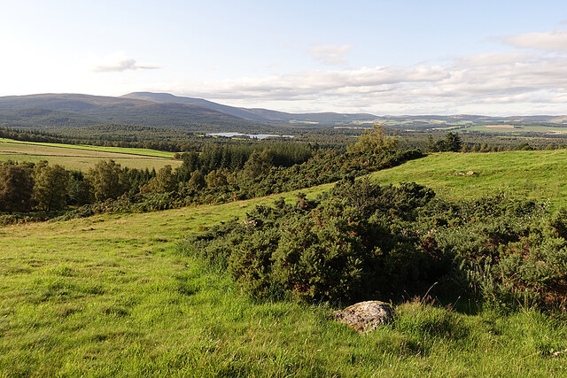
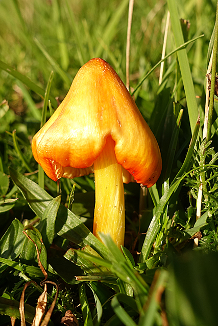
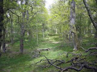
The hill is well-known for its rugged and rocky terrain, with steep slopes covered in heather and scattered with scattered boulders. It is a popular destination for hikers and outdoor enthusiasts, who are rewarded with stunning vistas from its summit. On clear days, one can see the distant Cairngorms to the west, the North Sea to the east, and the rolling hills of Aberdeenshire stretching out to the south.
The ascent to the top of Creag na Slice can be challenging, as the path is often steep and uneven. However, the effort is well worth it for those seeking solitude and a connection with nature. The hill is home to a variety of wildlife, including red deer, mountain hares, and golden eagles, making it a haven for nature lovers and wildlife photographers.
Creag na Slice is easily accessible, located just a short drive from the town of Alford. It is a popular destination for day trips and offers a peaceful retreat from the hustle and bustle of city life. Whether you are an avid hiker or simply looking for a place to enjoy the tranquility of the Scottish countryside, Creag na Slice is a must-visit destination.
If you have any feedback on the listing, please let us know in the comments section below.
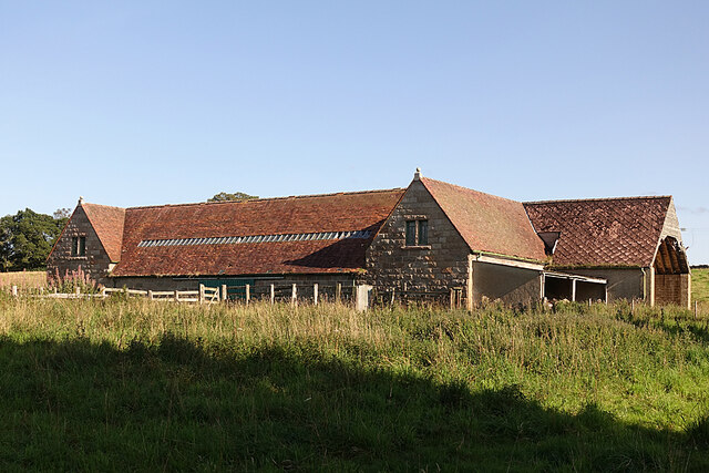
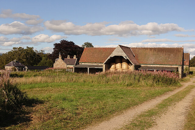
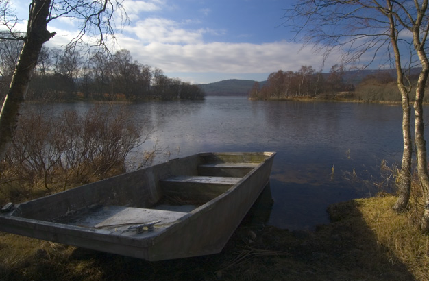
Creag na Slice Images
Images are sourced within 2km of 57.05127/-2.8898346 or Grid Reference NO4695. Thanks to Geograph Open Source API. All images are credited.


Creag na Slice is located at Grid Ref: NO4695 (Lat: 57.05127, Lng: -2.8898346)
Unitary Authority: Aberdeenshire
Police Authority: North East
What 3 Words
///dives.nooks.ties. Near Aboyne, Aberdeenshire
Nearby Locations
Related Wikis

Glen Tanar
Glen Tanar (Scottish Gaelic: Gleann Tanar) is a glen in Aberdeenshire, eastern Scotland, through which the Water of Tanar flows. Near the mouth of the...
Dinnet Oakwood
Dinnet Oakwood is a Designated Special Area of Conservation located in Aberdeenshire, Scotland. It is located approximately 9 miles from Aboyne and six...

Dee Castle
Dee Castle was a 15th-century castle, about 5 miles (8.0 km) east of Ballater, Aberdeenshire, Scotland, and south of the River Dee.It may be known alternatively...

Dinnet railway station
Dinnet railway station was opened on 17 October 1866 by the Aboyne and Braemar Railway and served Dinnet village from 1899 to 1966 as an intermediate station...

Muir of Dinnet
Muir of Dinnet is a national nature reserve (NNR) situated close to the village of Dinnet in Aberdeenshire, Scotland. The reserve extends 1166 hectares...
Dinnet
Dinnet (Scottish Gaelic, Dùnaidh) is a village in the Marr area of Aberdeenshire, Scotland. Approximately equidistant from Deeside towns Aboyne and Ballater...
Loch Kinord
Loch Kinord is a small, freshwater loch at Muir of Dinnet, Aberdeenshire, Scotland just north of the River Dee and 5 mi (8 km) east of Ballater. The loch...

Cambus O'May railway station
Cambus O'May railway station or Cambus O'May Halt, served Aberdeenshire, Scotland from 1876 to 1966 on the Deeside Railway. It was intended to serve the...
Nearby Amenities
Located within 500m of 57.05127,-2.8898346Have you been to Creag na Slice?
Leave your review of Creag na Slice below (or comments, questions and feedback).