Aitionn Hill

Hill, Mountain in Aberdeenshire

Scotland

Aitionn Hill

Fields at Kinchyle, Towie Looking over the Don valley towards Ley.
Fields at Kinchyle, Towie Credit: Mike Pennington

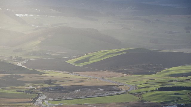
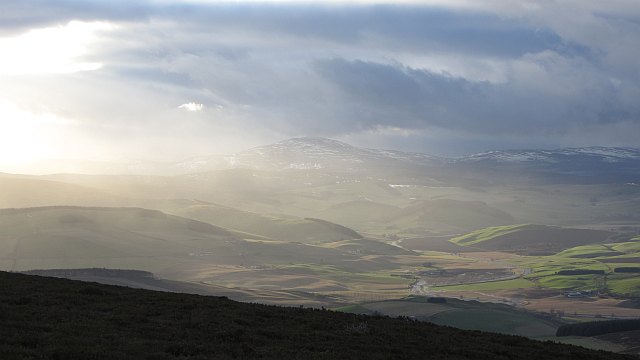
Aitionn Hill is a prominent hill located in Aberdeenshire, Scotland. Also known as Aiton Hill, it is situated near the village of Rhynie, about 40 miles northwest of Aberdeen. Standing at an elevation of approximately 1,312 feet (400 meters) above sea level, Aitionn Hill offers breathtaking panoramic views of the surrounding countryside.

The hill is primarily composed of granite, which gives it a rugged and distinctive appearance. It is covered in heather and scattered with boulders, adding to its natural beauty. Aitionn Hill is a popular destination for hikers and outdoor enthusiasts, as it provides various routes and trails for exploration.

One of the most notable features of Aitionn Hill is the presence of the Maiden Stone, an intricately carved Pictish standing stone. This ancient monument, dating back to the 9th or 10th century, stands about 9 feet tall and features intricate carvings of symbols and figures. The Maiden Stone is considered a significant archaeological site and attracts visitors interested in Scotland's rich historical heritage.

In addition to its natural and historical significance, Aitionn Hill is also home to a diverse range of flora and fauna. The hill supports a variety of plant species, including heather, moss, and wildflowers, while birdwatchers may spot species such as red grouse and peregrine falcons.

Overall, Aitionn Hill offers a captivating blend of natural beauty, historical significance, and outdoor recreation opportunities, making it a must-visit destination for nature lovers and history enthusiasts alike.

If you have any feedback on the listing, please let us know in the comments section below.
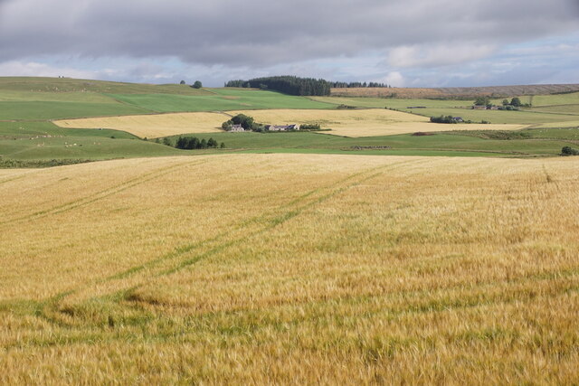
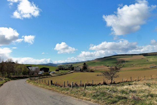
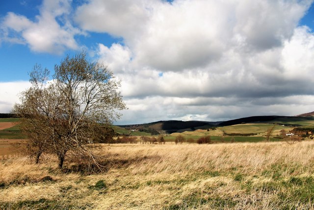
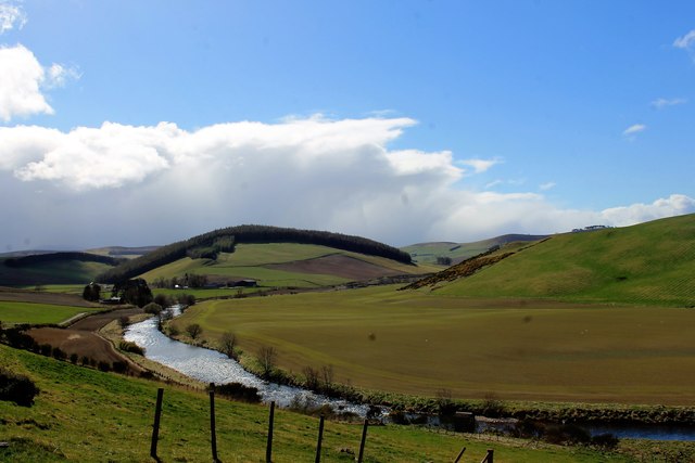
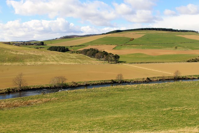
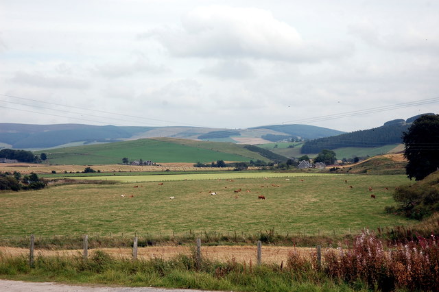
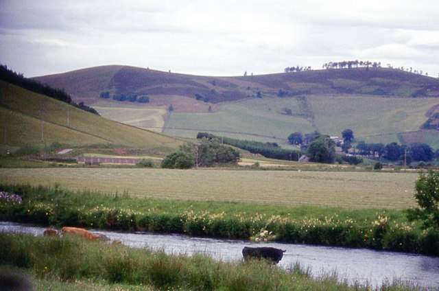
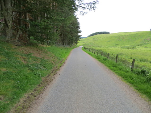
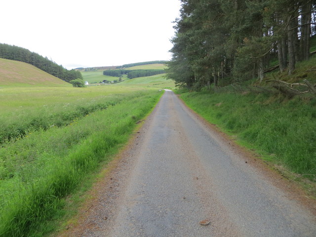
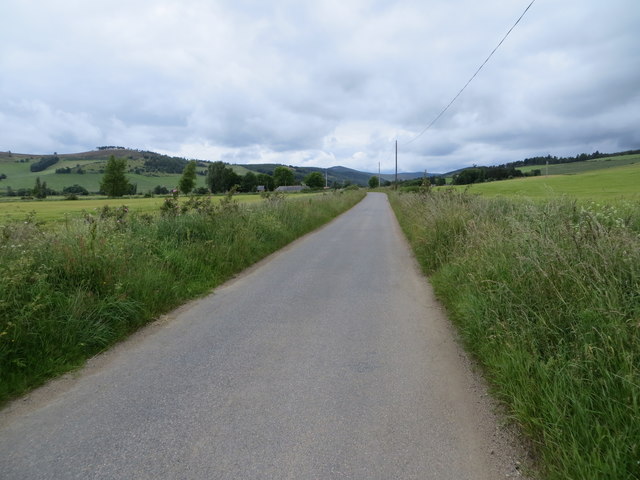
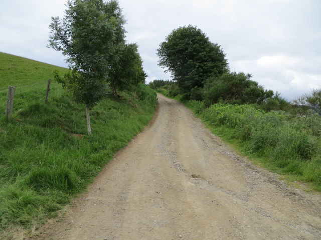
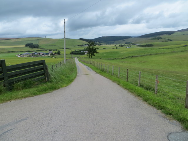
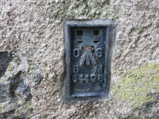
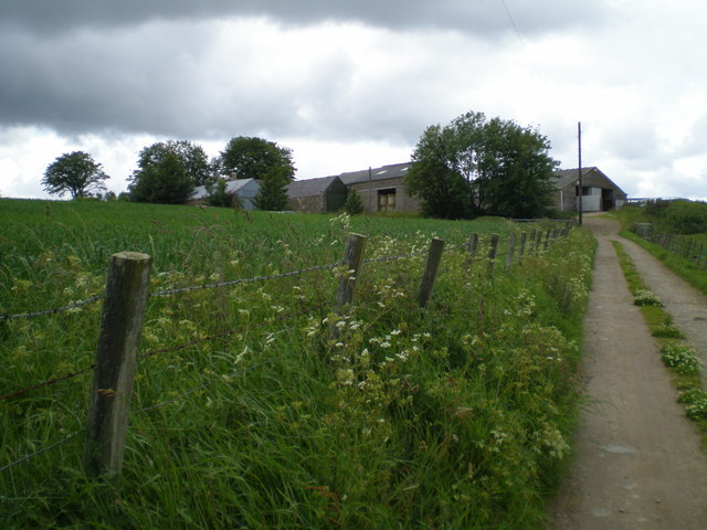
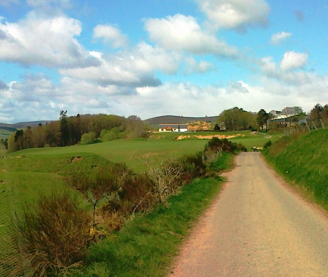
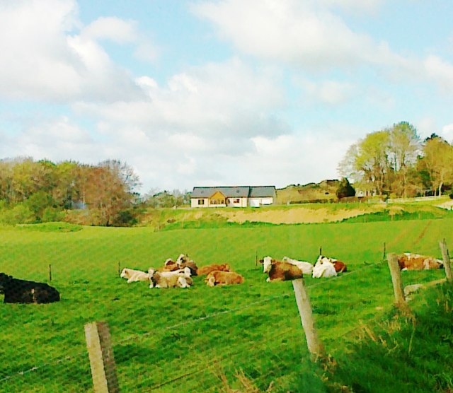
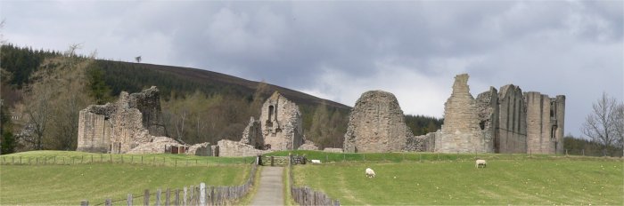
Aitionn Hill Images

Images are sourced within 2km of 57.208228/-2.8938075 or Grid Reference NJ4613. Thanks to Geograph Open Source API. All images are credited.

Fields at Kinchyle, Towie Looking over the Don valley towards Ley.
Fields at Kinchyle, Towie
Looking over the Don valley towards Ley.
Ahead to Sinnahard A farm by the roadside on the Muir of Fowlis to Towie road.
Ahead to Sinnahard
A farm by the roadside on the Muir of Fowlis to Towie road.
By Sinnahard Rough grassland and a tree with a view north behind.
By Sinnahard
Rough grassland and a tree with a view north behind.
Don by Aitionn The River Don flowing through farmland by Aitionn Hill near Towie,
Don by Aitionn
The River Don flowing through farmland by Aitionn Hill near Towie,
Trees by Aitionn A tree belt at the foot of Aitionn Hill by Fichlie.
Trees by Aitionn
A tree belt at the foot of Aitionn Hill by Fichlie.
View eastwards from Towie
River Don near Towie
Minor road enclosed between woodland, fence and the Burn of Towie Looking south-westward.
Minor road enclosed between woodland, fence and the Burn of Towie
Looking south-westward.
Minor road enclosed by woodland and the Burn of Towie Looking eastward.
Minor road enclosed by woodland and the Burn of Towie
Looking eastward.
Road near to the Haugh of Morlich Looking westward.
Road near to the Haugh of Morlich
Looking westward.
Track leading to Chapelton Looking south-westward.
Track leading to Chapelton
Looking south-westward.
Track leading to West Sinnahard Looking northward.
Track leading to West Sinnahard
Looking northward.
Ordnance Survey Flush Bracket G4498 The bracket can be found on the wall of Glenkindle Arms Hotel.
This benchmark has a recorded height of 226.047 metres above sea level.
For more detail see : <span class="nowrap"><a title="https://www.bench-marks.org.uk/bm17961" rel="nofollow ugc noopener" href="https://www.bench-marks.org.uk/bm17961">Link</a><img style="margin-left:2px;" alt="External link" title="External link - shift click to open in new window" src="https://s1.geograph.org.uk/img/external.png" width="10" height="10"/></span>
Ordnance Survey Flush Bracket G4498
The bracket can be found on the wall of Glenkindle Arms Hotel. This benchmark has a recorded height of 226.047 metres above sea level. For more detail see : LinkExternal link
Knowehead farm, Towie
Strathdon A view from the summit of  Coiliochbhar Hill  upstream towards Chapelton.
Strathdon
A view from the summit of Coiliochbhar Hill upstream towards Chapelton.
Strathdon A view towards Morven from  Coiliochbhar Hill  with Morven in the background.
Strathdon
A view towards Morven from Coiliochbhar Hill with Morven in the background.
Road to Fichlie
Road to Fichlie
New house, Fichlie
New house, Fichlie
Show me another place!

Aitionn Hill is located at Grid Ref: NJ4613 (Lat: 57.208228, Lng: -2.8938075)

Unitary Authority: Aberdeenshire

Police Authority: North East

What 3 Words

///gadget.emulating.lots. Near Alford, Aberdeenshire

Related Wikis

Nearby Amenities

Located within 500m of 57.208228,-2.8938075
Power: pole
Lat/Long: 57.2077893/-2.9011665
Power: pole
Lat/Long: 57.2072837/-2.9002136
Power: pole
Lat/Long: 57.2067519/-2.8992027
Power: pole
Lat/Long: 57.2062424/-2.8982136
Power: pole
Lat/Long: 57.205746/-2.8972921
Power: pole
Lat/Long: 57.2052547/-2.896332
Power: pole
Lat/Long: 57.2048356/-2.8955339
Power: pole
Lat/Long: 57.2044138/-2.8947286
Power: pole
Lat/Long: 57.2039212/-2.8945279
Power: pole
Lat/Long: 57.2038387/-2.8933477
The data included in this document is from www.openstreetmap.org. The data is made available under ODbL.

Have you been to Aitionn Hill?

Leave your review of Aitionn Hill below (or comments, questions and feedback).