Little Wart
Hill, Mountain in Orkney
Scotland
Little Wart
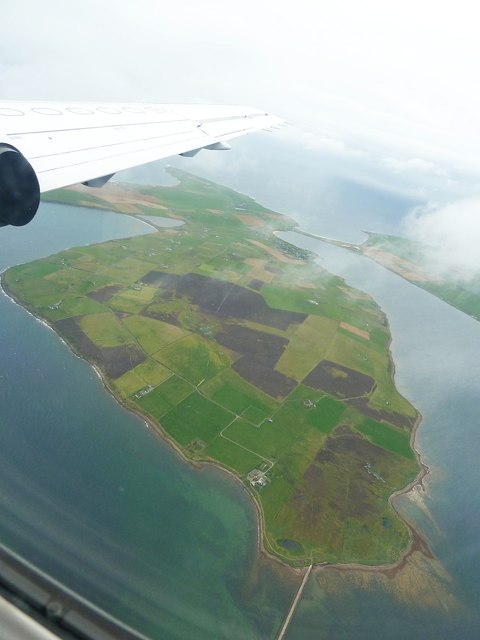
Little Wart is a small hill located in the Orkney Islands, an archipelago in northern Scotland. Situated in the eastern part of the Mainland, the largest island of the Orkneys, Little Wart is part of a cluster of hills known as the Wart Hills. Rising to an elevation of around 103 meters (338 feet), it is not technically classified as a mountain, but rather a modest hill.
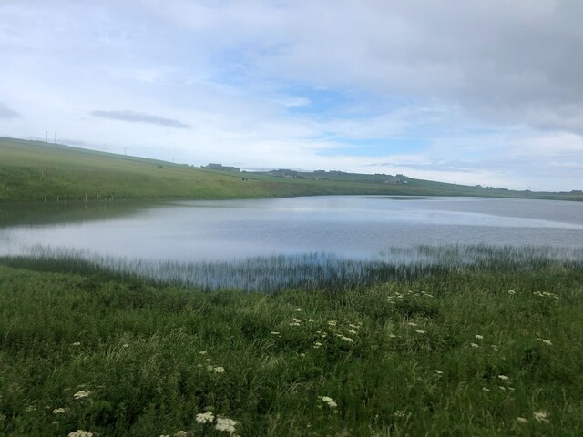
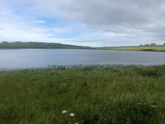
Covered in heather and grass, Little Wart offers picturesque views of the surrounding landscape, including the rolling hills and farmland of Orkney. It is a popular destination for hikers and nature enthusiasts, who enjoy the relatively easy ascent and the panoramic vistas from the summit.
The hill is accessible by a well-defined path that leads to the top, making it suitable for walkers of all levels of experience. Along the way, visitors may encounter various bird species that inhabit the area, such as lapwings and curlews, adding to the charm of the walk.
Little Wart also holds historical significance, with traces of ancient settlements and burial mounds found in the vicinity. The Orkney Islands have a rich archaeological heritage, including the famous Neolithic sites of Skara Brae and the Ring of Brodgar, further enhancing the cultural value of the area.
Overall, Little Wart is a picturesque and easily accessible hill, offering visitors the opportunity to immerse themselves in the natural beauty and history of the Orkney Islands.
If you have any feedback on the listing, please let us know in the comments section below.
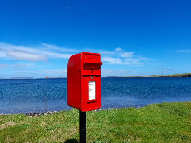
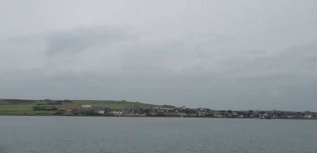
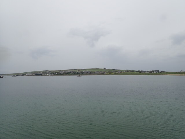
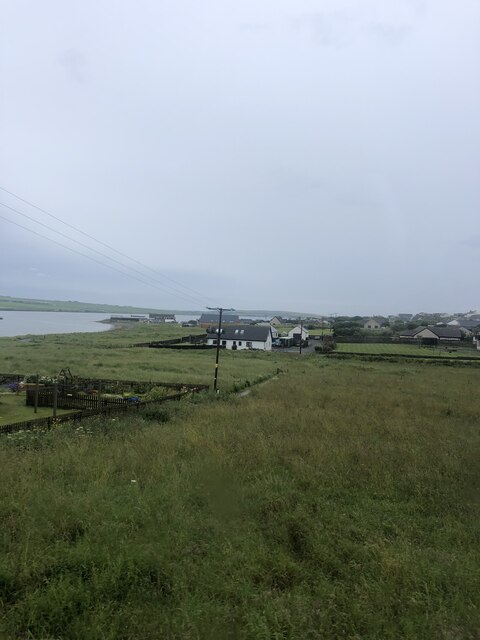
Little Wart Images
Images are sourced within 2km of 58.851175/-2.9358263 or Grid Reference ND4696. Thanks to Geograph Open Source API. All images are credited.


Little Wart is located at Grid Ref: ND4696 (Lat: 58.851175, Lng: -2.9358263)
Unitary Authority: Orkney Islands
Police Authority: Highlands and Islands
What 3 Words
///rather.unearthly.circle. Near St Margaret's Hope, Orkney Islands
Nearby Locations
Related Wikis

Burray
Burray () is one of the Orkney Islands in Scotland. It lies to the east of Scapa Flow and is one of a chain of islands linked by the Churchill Barriers...

Hunda
Hunda is an uninhabited island in the Orkney archipelago in Scotland. It is 100 hectares (0.39 sq mi) in extent and rises to 42 metres (138 ft) above sea...

Glimps Holm
Glimps Holm or Glims Holm (Old Norse: Glums Holm) is a small uninhabited islet in Orkney, Scotland. == Geography == Glimps Holm lies in Holm Sound, one...

St Margaret's Hope
St Margaret's Hope is a village in the Orkney Islands, off the north coast of Scotland. It is known locally as The Hope or The Hup. With a population...

A961 road
The A961 is a single-carriageway road on the eastern side of Scapa Flow in the Orkney Islands, connecting the town of Kirkwall on the Orkney Mainland to...

Hoxa, Orkney
Hoxa is a small settlement on the island of South Ronaldsay in the Orkney Islands north of mainland Scotland. Hoxa is located 1+1⁄4 miles (2.0 km) west...
Lamb Holm
Lamb Holm is a small uninhabited island in Orkney, Scotland. The Italian Chapel, constructed during the Second World War, is the island's main attraction...

Italian Chapel
The Italian Chapel is a highly ornate Catholic chapel on Lamb Holm in the Orkney Islands. It was built during World War II by Italian prisoners of war...
Nearby Amenities
Located within 500m of 58.851175,-2.9358263Have you been to Little Wart?
Leave your review of Little Wart below (or comments, questions and feedback).