Howden Hill
Hill, Mountain in Selkirkshire
Scotland
Howden Hill
The requested URL returned error: 429 Too Many Requests
If you have any feedback on the listing, please let us know in the comments section below.
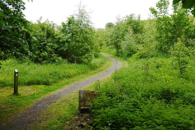
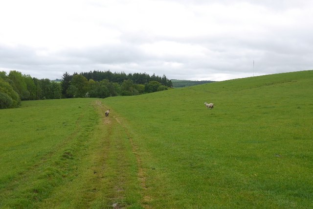
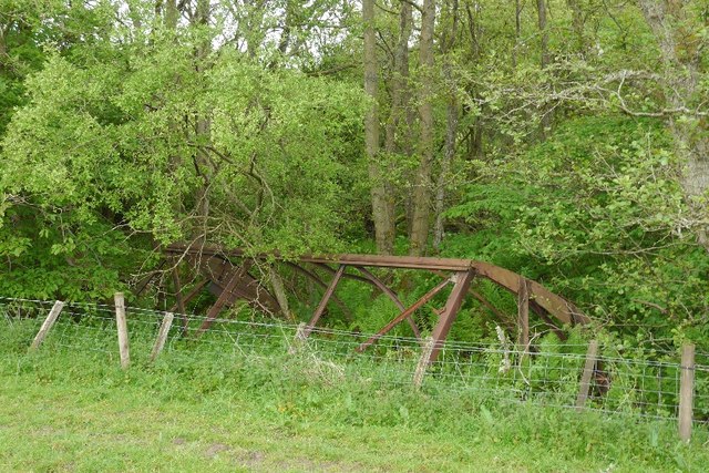
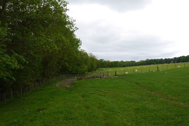
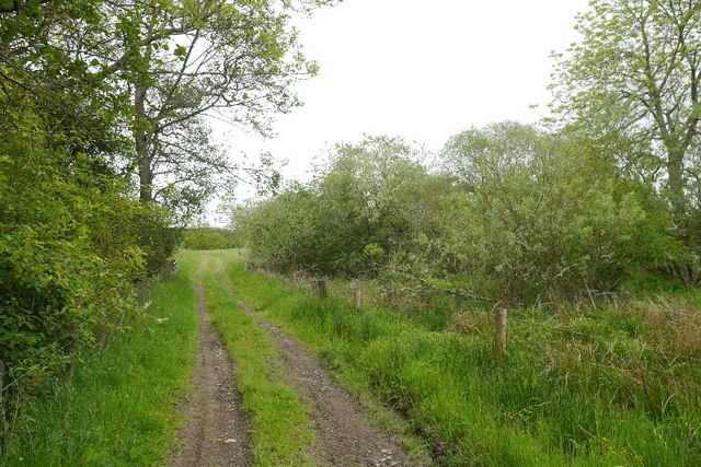
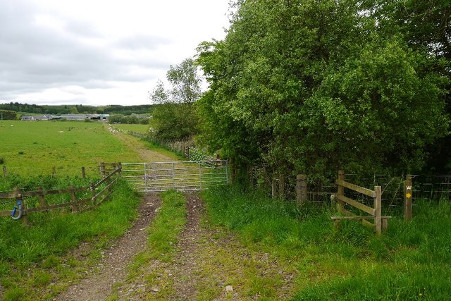
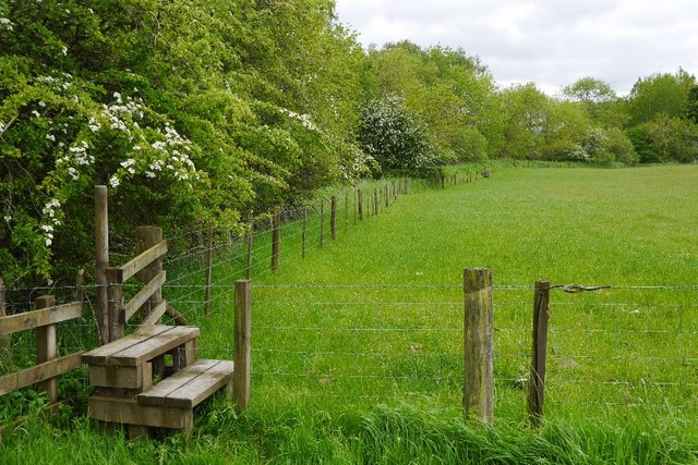
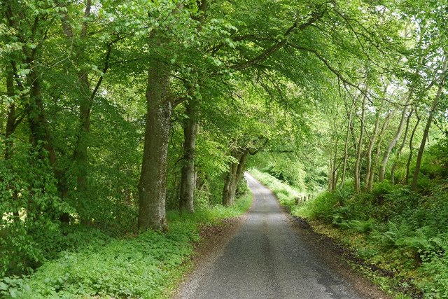
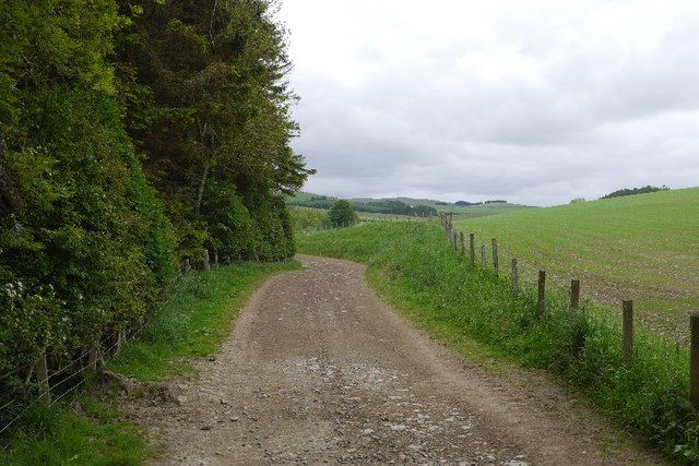
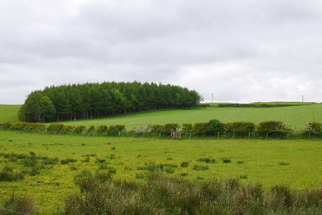
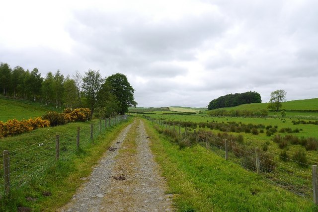
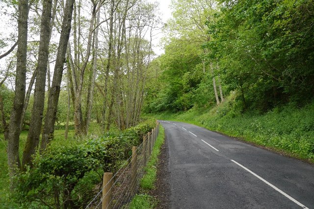
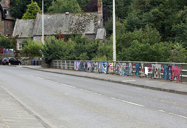
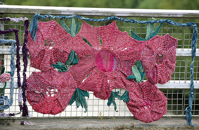
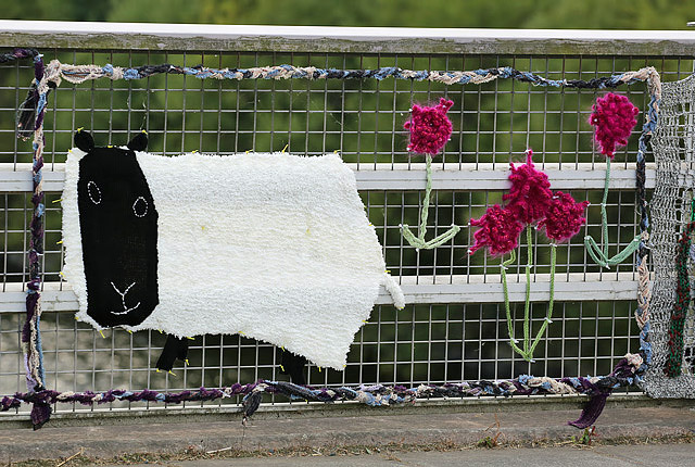
Howden Hill Images
Images are sourced within 2km of 55.535837/-2.8593508 or Grid Reference NT4527. Thanks to Geograph Open Source API. All images are credited.
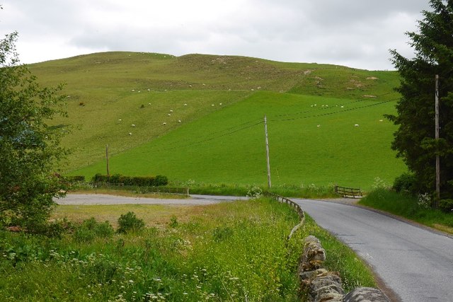
Howden Hill is located at Grid Ref: NT4527 (Lat: 55.535837, Lng: -2.8593508)
Unitary Authority: The Scottish Borders
Police Authority: The Lothians and Scottish Borders
What 3 Words
///pulses.evaporate.pimples. Near Selkirk, Scottish Borders
Nearby Locations
Related Wikis
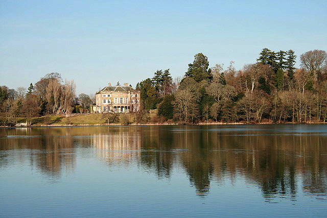
The Haining
The Haining is a country house and estate in Selkirk in the Scottish Borders. The present house dates from the 1790s, and was a property of the Pringle...

Philiphaugh Stadium
Philiphaugh is a rugby union ground in the Royal Burgh of Selkirk, Scotland with a capacity of approximately 6,000. It is the home of Selkirk Rugby Football...

Selkirk Town House
Selkirk Town House is a municipal building in the Market Place, Selkirk, Scottish Borders, Scotland. The structure, which is used as a local history museum...

Battle of Philiphaugh
The Battle of Philiphaugh was fought on 13 September 1645 during the Wars of the Three Kingdoms near Selkirk in the Scottish Borders. The Royalist army...
Nearby Amenities
Located within 500m of 55.535837,-2.8593508Have you been to Howden Hill?
Leave your review of Howden Hill below (or comments, questions and feedback).