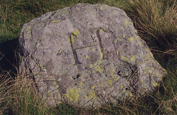
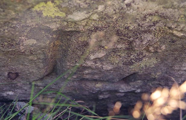
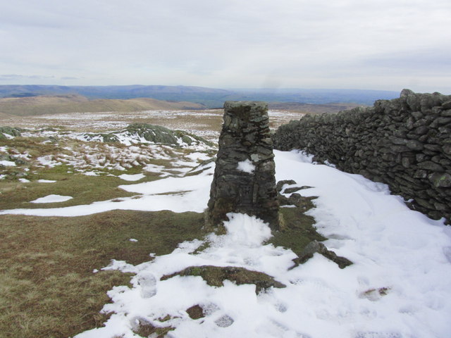
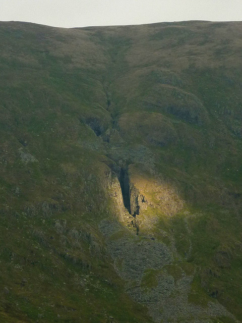
The Knowe

Hill, Mountain in Westmorland South Lakeland

England

The Knowe

Dry-stone wall Looking southeast from the summit of Kentmere Pike.
Dry-stone wall Credit: Richard Sutcliffe

The requested URL returned error: 429 Too Many Requests

If you have any feedback on the listing, please let us know in the comments section below.
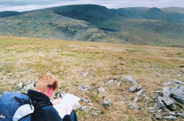
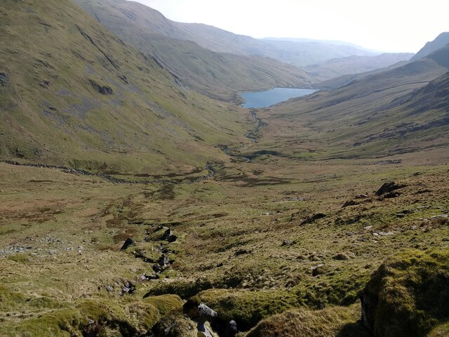
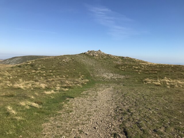
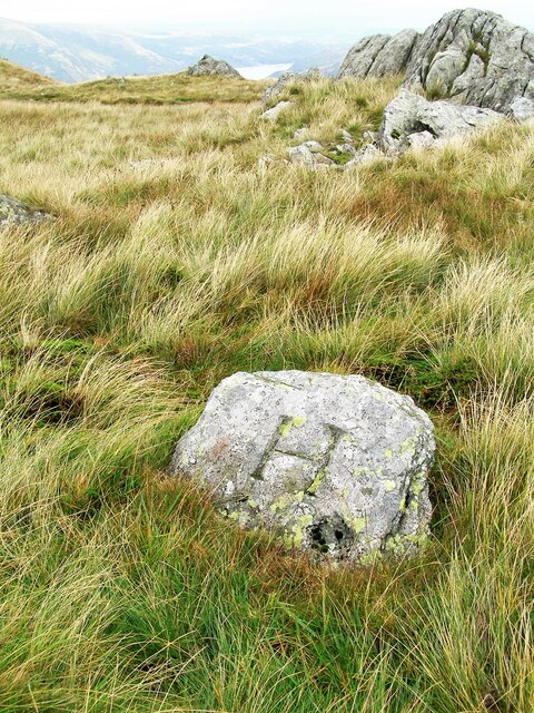
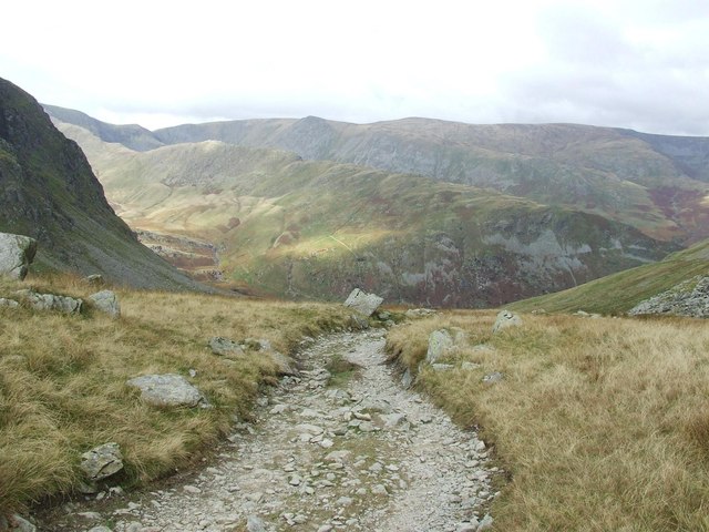
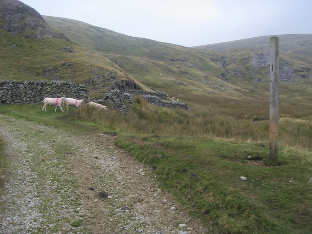
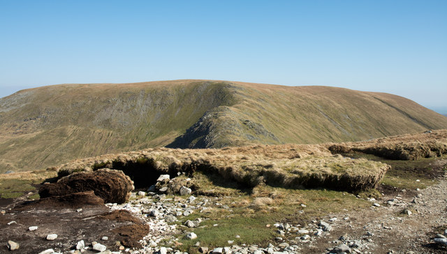
The Knowe Images

Images are sourced within 2km of 54.47239/-2.8368754 or Grid Reference NY4508. Thanks to Geograph Open Source API. All images are credited.

Dry-stone wall Looking southeast from the summit of Kentmere Pike.
Dry-stone wall
Looking southeast from the summit of Kentmere Pike.
Taking a break on Harter Fell A 'geograph' contributor studies the map whilst taking a break on Harter Fell. The view is north west towards High Street with a glimpse of Blea Water.
Taking a break on Harter Fell
A 'geograph' contributor studies the map whilst taking a break on Harter Fell. The view is north west towards High Street with a glimpse of Blea Water.
Looking down Kentmere to the reservoir from Gladgrove Gill
Cairn on the approach to Mardale Ill Bell
Tarn on Mardale Ill Bell
Summit Cairn on Mardale Ill Bell Haweswater can be seen beyond the cairn
Summit Cairn on Mardale Ill Bell
Haweswater can be seen beyond the cairn
Summit of Mardale Ill Bell
Old Boundary Marker on Little Harter Fell Estate Boundary Marker at the summit of Little Harter Fell. Inscribed H and L on opposite faces, which refer the Harrison and Lowther estates. On the boundary of Longsleddale and Shap Rural parishes. See also <span class="nowrap"><a title="http://www.geog.port.ac.uk/webmap/thelakes/photos/bjf03.jpg" rel="nofollow ugc noopener" href="http://www.geog.port.ac.uk/webmap/thelakes/photos/bjf03.jpg">Link</a><img style="margin-left:2px;" alt="External link" title="External link - shift click to open in new window" src="https://s1.geograph.org.uk/img/external.png" width="10" height="10"/></span> and <span class="nowrap"><a title="http://www.geog.port.ac.uk/webmap/thelakes/photos/bjf04.jpg" rel="nofollow ugc noopener" href="http://www.geog.port.ac.uk/webmap/thelakes/photos/bjf04.jpg">Link</a><img style="margin-left:2px;" alt="External link" title="External link - shift click to open in new window" src="https://s1.geograph.org.uk/img/external.png" width="10" height="10"/></span>.

Milestone Society National ID: WE_SHALON06em
Old Boundary Marker on Little Harter Fell
Estate Boundary Marker at the summit of Little Harter Fell. Inscribed H and L on opposite faces, which refer the Harrison and Lowther estates. On the boundary of Longsleddale and Shap Rural parishes. See also LinkExternal link and LinkExternal link. Milestone Society National ID: WE_SHALON06em
Kentmere Reservoir & Harter Fell from Yoke
Trig point on Kentmere Pike - view SE
Spotlight on Hart Crag Quarry, Kentmere A single beam of sunlight picks out the great gash of Hart Crag Quarry on the eastern flank of Kentmere. It was worked in the 18th and 19th centuries. We once followed the one-way tracks of a fox in the snow up to here.
Spotlight on Hart Crag Quarry, Kentmere
A single beam of sunlight picks out the great gash of Hart Crag Quarry on the eastern flank of Kentmere. It was worked in the 18th and 19th centuries. We once followed the one-way tracks of a fox in the snow up to here.
The River Kent above Kentmere Reservoir The river here is more of a mountain beck as it tumbles down from its source in Hall Cove. Steep mountainsides enclose the dale including the conical Froswick seen here. Red deer stags were roaring, adding an extra flavour to an already wild and remote place.
The River Kent above Kentmere Reservoir
The river here is more of a mountain beck as it tumbles down from its source in Hall Cove. Steep mountainsides enclose the dale including the conical Froswick seen here. Red deer stags were roaring, adding an extra flavour to an already wild and remote place.
The head of Kentmere Steep fells enclose the source of the River Kent, beyond the reservoir, creating one of the remoter-feeling corners of the Lake District. Red deer stags were roaring adding to the feeling of true wilderness.
The head of Kentmere
Steep fells enclose the source of the River Kent, beyond the reservoir, creating one of the remoter-feeling corners of the Lake District. Red deer stags were roaring adding to the feeling of true wilderness.
Leads Howe and Over Cove, upper Kentmere Leads Howe is the southerly arm of Over Cove, the corrie between Ill Bell (left) and Froswick.
Leads Howe and Over Cove, upper Kentmere
Leads Howe is the southerly arm of Over Cove, the corrie between Ill Bell (left) and Froswick.
By the east shore of Kentmere Reservoir When full, the reservoir blends well into its remote setting almost at the head of the Kentmere valley. It was built in 1848 to supply water (for motive power) to various mills lower down the dale, including Croppers at Burneside who are currently the owners. Steep fells surround the water and today, stags were roaring in the upper valley lending an almost Highland feel to the scene.
By the east shore of Kentmere Reservoir
When full, the reservoir blends well into its remote setting almost at the head of the Kentmere valley. It was built in 1848 to supply water (for motive power) to various mills lower down the dale, including Croppers at Burneside who are currently the owners. Steep fells surround the water and today, stags were roaring in the upper valley lending an almost Highland feel to the scene.
Gatescarth Pass begins to descend steeply
Brownhowe Bottom From Brownhowe Bottom the byway heading to the Gatescarth Pass and the bridleway to Mosedale off to the right
Brownhowe Bottom
From Brownhowe Bottom the byway heading to the Gatescarth Pass and the bridleway to Mosedale off to the right
Peat banks beside path Harter Fell is the distant mountain and the path connects it with Mardale Ill Bell. There's a partial collapse of a section of peat bank at the left side of the image.
Peat banks beside path
Harter Fell is the distant mountain and the path connects it with Mardale Ill Bell. There's a partial collapse of a section of peat bank at the left side of the image.
Show me another place!

The Knowe is located at Grid Ref: NY4508 (Lat: 54.47239, Lng: -2.8368754)

Administrative County: Cumbria

District: South Lakeland

Police Authority: Cumbria

What 3 Words

///teeth.vacancies.pinches. Near Ambleside, Cumbria

Nearby Locations

The Knowe

Related Wikis

Harter Fell (Mardale)

Harter Fell is a fell in the far eastern part of the English Lake District. The summit at lies the meeting point of three ridges, and Harter Fell forms...

Kentmere Pike

Kentmere Pike is a fell in the English Lake District, rising between the valleys of Kentmere and Longsleddale. It is the highpoint on the ridge between...
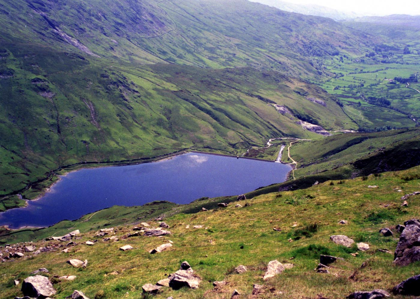
Kentmere Reservoir

Kentmere Reservoir is a water storage facility situated in the Kentmere valley in the county of Cumbria, England. It is located 10.5 kilometres (6.5 mi...

Mardale Ill Bell

Mardale Ill Bell is a fell in the English Lake District, rising to the south west of Haweswater Reservoir. It stands on the watershed between Mardale and...

Nearby Amenities

Located within 500m of 54.47239,-2.8368754
The Knowe
Ele: 764.7
Natural: peak
Source: NPE
Lat/Long: 54.4718455/-2.8363451
Harter Fell
Ele: 778
Natural: peak
Wikidata: Q1587106
Wikipedia: en:Harter Fell (Mardale)
Lat/Long: 54.47642/-2.8353358
Height: 1.5
Man Made: cairn
Lat/Long: 54.476424/-2.8353481
The data included in this document is from www.openstreetmap.org. The data is made available under ODbL.

Have you been to The Knowe?

Leave your review of The Knowe below (or comments, questions and feedback).