Ringwood Hill
Hill, Mountain in Roxburghshire
Scotland
Ringwood Hill
Ringwood Hill is a prominent hill located in the picturesque region of Roxburghshire, in the Scottish Borders area of Scotland. With an elevation of approximately 486 meters (1,595 feet), it stands as an impressive natural landmark in the area.
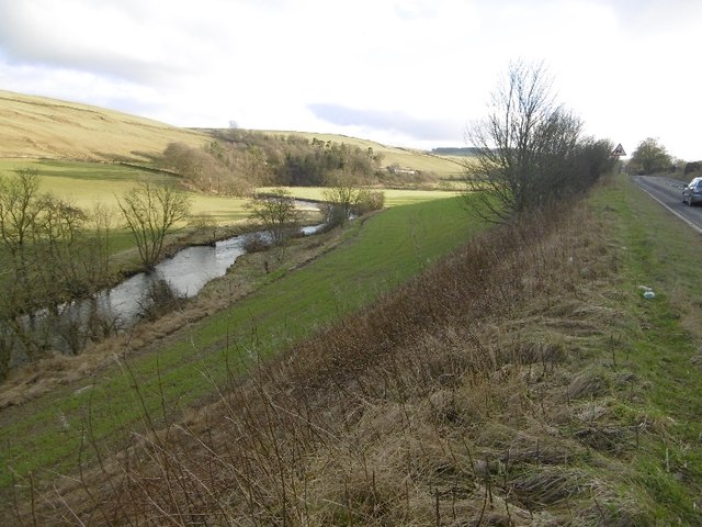
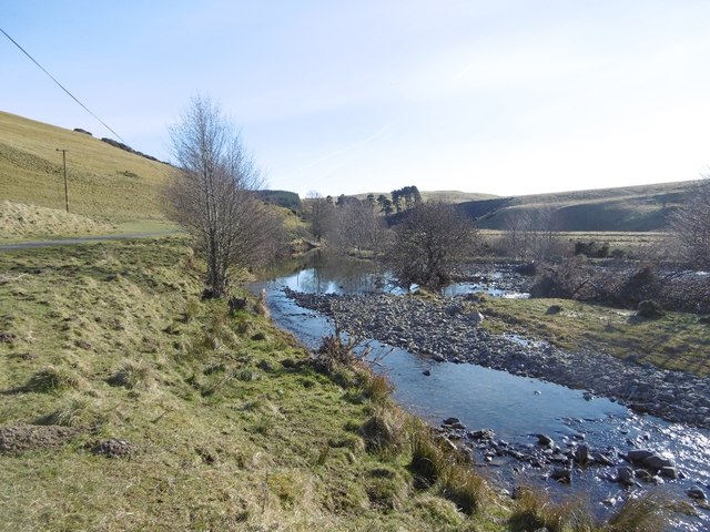
Situated near the village of Morebattle, Ringwood Hill offers stunning panoramic views of the surrounding countryside. Its distinctive cone-shaped summit is covered in heather and grass, creating a beautiful and tranquil setting for visitors. The hill is part of the Cheviot Hills range, which forms a natural border between Scotland and England.
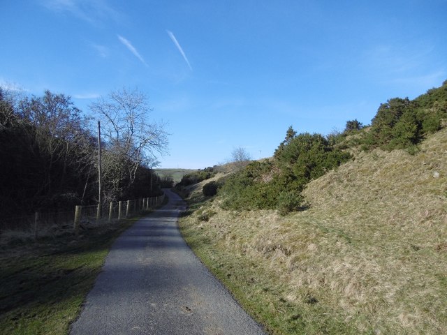
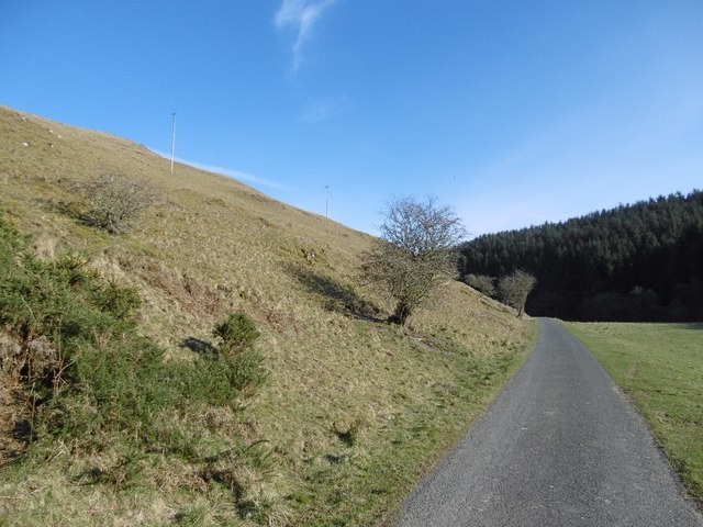
Access to Ringwood Hill is relatively easy, with several well-marked footpaths leading up to the summit. These paths are popular among hikers and nature enthusiasts, who can enjoy a moderate but rewarding climb to reach the top. The ascent provides an opportunity to observe the local flora and fauna, including various species of birds and wildflowers.
At the summit, visitors are rewarded with breathtaking vistas across the rolling hills and valleys of Roxburghshire, offering a true sense of the region's natural beauty. On clear days, it is even possible to catch a glimpse of the distant Cheviot Hills to the south.
Ringwood Hill is a must-visit destination for those seeking outdoor adventures or simply a peaceful retreat amidst the Scottish countryside. Its accessibility, stunning views, and diverse wildlife make it a favorite spot for locals and tourists alike.
If you have any feedback on the listing, please let us know in the comments section below.
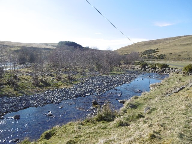
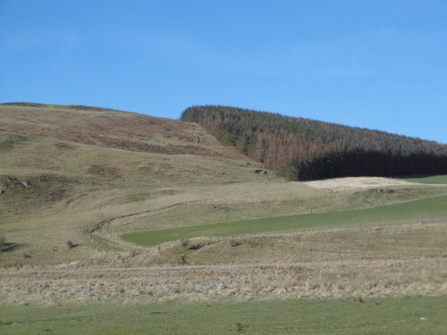
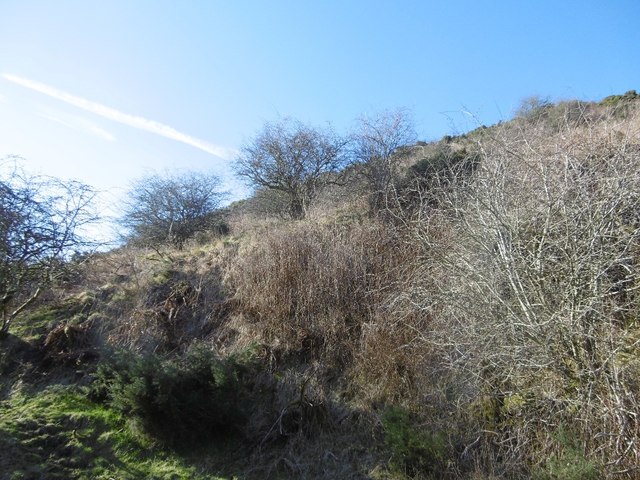
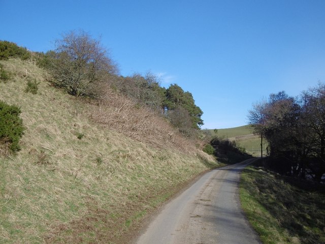
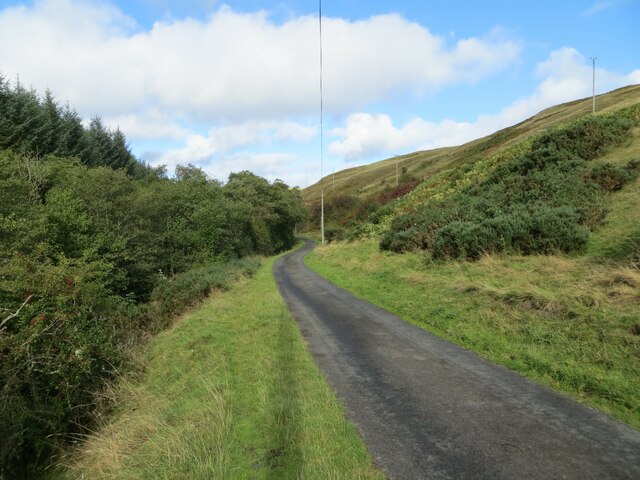
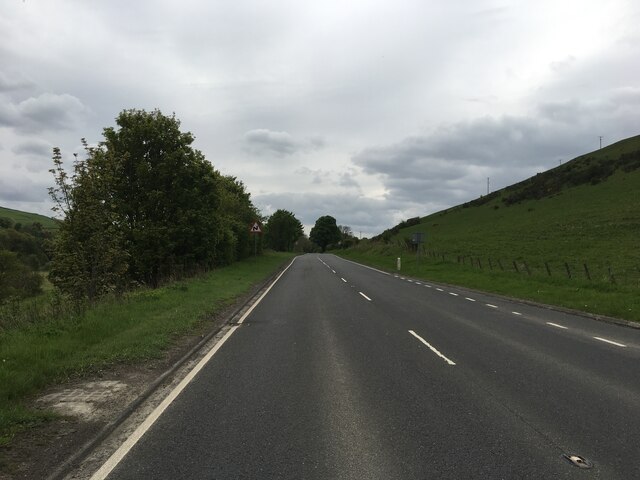
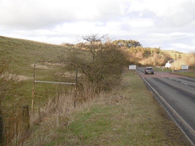
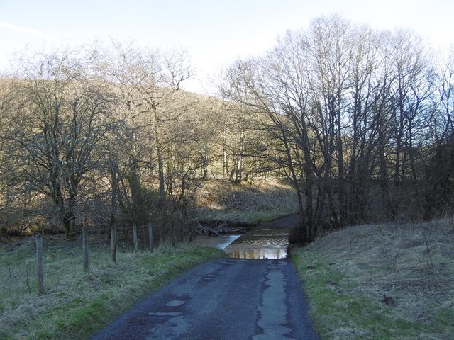
Ringwood Hill Images
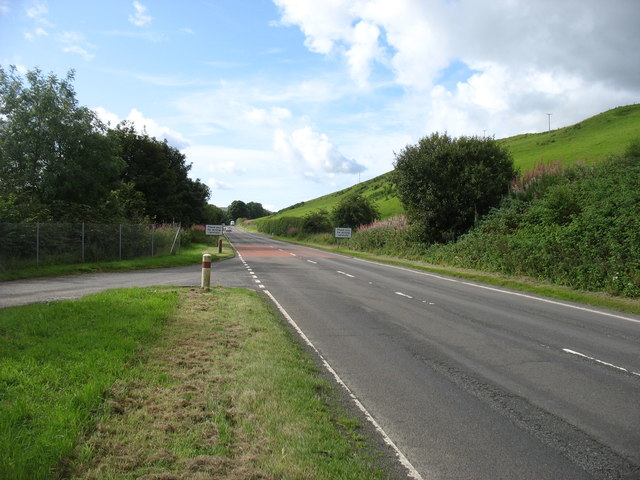
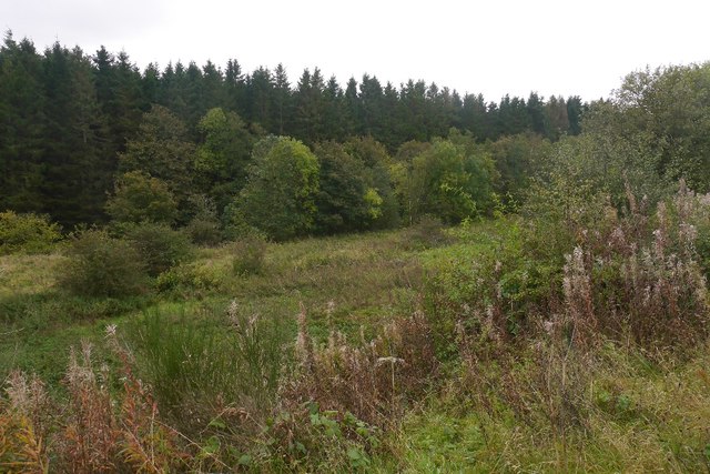
Images are sourced within 2km of 55.374563/-2.8601586 or Grid Reference NT4509. Thanks to Geograph Open Source API. All images are credited.


Ringwood Hill is located at Grid Ref: NT4509 (Lat: 55.374563, Lng: -2.8601586)
Unitary Authority: The Scottish Borders
Police Authority: The Lothians and Scottish Borders
What 3 Words
///dean.shipped.trending. Near Teviothead, Scottish Borders
Nearby Locations
Related Wikis

Broadhaugh
Broadhaugh is a hamlet in the Scottish Borders area of Scotland, in the parish of Teviothead, in former Roxburghshire. == See also == List of places in...

Newmill-on-Teviot
Newmill-on-Teviot, commonly called Newmill, is a hamlet in the Scottish Borders, 7 kilometres (4.3 mi) south of Hawick on the River Teviot. The remains...

Branxholme
Branxholme is a hamlet in the Scottish Borders area of Scotland, overlooking the River Teviot, 3 miles (5 kilometres) southwest of Hawick, on the A7 road...

Branxholme Castle
Branxholme Castle is a five-storey tower at Branxholme, about 3 miles south-west of Hawick in the Borders region of Scotland. == History == The present...
Have you been to Ringwood Hill?
Leave your review of Ringwood Hill below (or comments, questions and feedback).