Broadhaugh
Settlement in Roxburghshire
Scotland
Broadhaugh

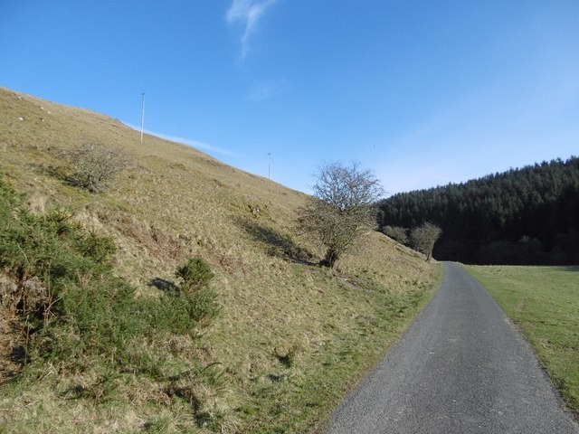
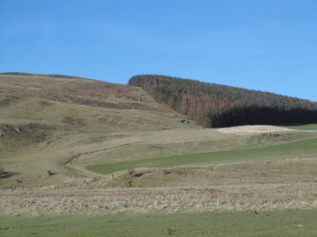
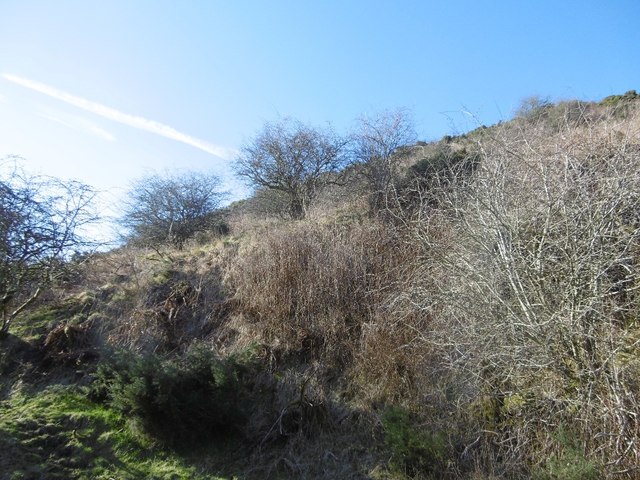
Broadhaugh is a small village located in the Scottish Borders region of Roxburghshire, Scotland. Situated just south of the town of Hawick, it is nestled amidst picturesque rolling hills and stunning natural scenery. The village is part of the wider parish of Cavers and is surrounded by lush farmlands and dense woodlands.
Broadhaugh is home to a close-knit community, with a population of approximately 200 residents. The village primarily consists of traditional stone-built houses, adding to its charming rural character. The local economy is largely centered around agriculture and farming, with some residents also commuting to nearby towns for work.
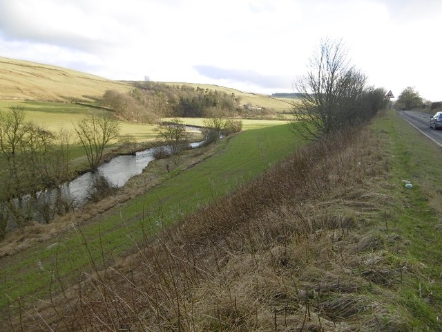
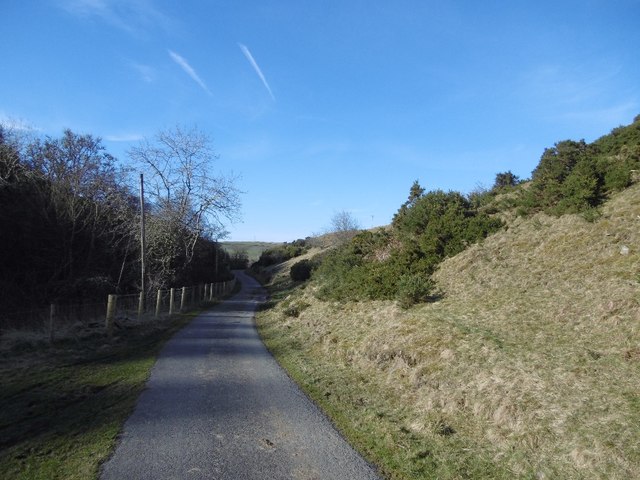
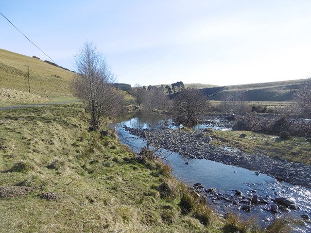
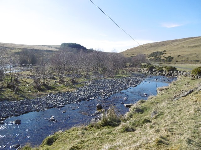
A notable feature of Broadhaugh is the River Teviot, which flows just to the east of the village. The river offers opportunities for fishing and other recreational activities, attracting both locals and visitors alike. Additionally, the surrounding countryside provides ample opportunities for outdoor enthusiasts to explore and enjoy activities such as hiking, cycling, and birdwatching.
While Broadhaugh itself does not have many amenities, the nearby town of Hawick offers a range of services and facilities, including shops, schools, healthcare facilities, and leisure activities. The village is well-connected to the surrounding areas by road, with the A7 running just a few miles to the west, providing easy access to larger towns and cities.
Overall, Broadhaugh is a peaceful and idyllic village, perfect for those seeking a rural retreat surrounded by natural beauty. Its strong sense of community and close proximity to amenities make it an attractive place to live for those looking to enjoy a tranquil lifestyle in the Scottish Borders.
If you have any feedback on the listing, please let us know in the comments section below.
Broadhaugh Images
Images are sourced within 2km of 55.371892/-2.8693788 or Grid Reference NT4509. Thanks to Geograph Open Source API. All images are credited.


Broadhaugh is located at Grid Ref: NT4509 (Lat: 55.371892, Lng: -2.8693788)
Unitary Authority: The Scottish Borders
Police Authority: The Lothians and Scottish Borders
What 3 Words
///flat.economies.glassware. Near Teviothead, Scottish Borders
Nearby Locations
Related Wikis

Broadhaugh
Broadhaugh is a hamlet in the Scottish Borders area of Scotland, in the parish of Teviothead, in former Roxburghshire. == See also == List of places in...

Newmill-on-Teviot
Newmill-on-Teviot, commonly called Newmill, is a hamlet in the Scottish Borders, 7 kilometres (4.3 mi) south of Hawick on the River Teviot. The remains...

Branxholme
Branxholme is a hamlet in the Scottish Borders area of Scotland, overlooking the River Teviot, three miles southwest of Hawick, on the A7 road to Langholm...

Branxholme Castle
Branxholme Castle is a five-storey tower at Branxholme, about 3 miles south-west of Hawick in the Borders region of Scotland. == History == The present...

Stobs Military Camp
Stobs Camp is a military and internment camp located just outside Hawick in the Scottish Borders. It is an internationally important site due to its level...

Burnfoot, Roberton
Burnfoot (Scottish Gaelic: Bun na h-Aibhne) is a hamlet in the Scottish Borders area of Scotland, close to Roberton, by the Borthwick Water. The nearest...

Borthwick Water
The Borthwick Water (Border Scots: Borthwick Witter) is a river in the Scottish Borders area of Scotland, and a tributary of the River Teviot. The Aithouse...

Stobs railway station
Stobs railway station served the hamlet of Barnes, Scottish Borders, Scotland from 1862 to 1969 on the Border Union Railway. == History == The station...
Nearby Amenities
Located within 500m of 55.371892,-2.8693788Have you been to Broadhaugh?
Leave your review of Broadhaugh below (or comments, questions and feedback).