Broom Hill

Hill, Mountain in Banffshire

Scotland

Broom Hill

Buckie The view is taken from a grassed area on the northwest side of Criagbo Terrace. The houses in the foreground are in Reidhaven Street. The tower crane is in Buckie Harbour.
Buckie Credit: Richard Dorrell

Broom Hill is a prominent hill located in Banffshire, Scotland. It is part of the Grampian Mountains range, which stretches across the northeastern region of the country. Rising to an elevation of approximately 399 meters (1,309 feet), Broom Hill offers stunning panoramic views of the surrounding landscape.

This hill is characterized by its gentle slopes and grassy terrain, making it a popular destination for hikers and nature enthusiasts. The ascent to the summit is relatively easy, making it accessible to people of all fitness levels. Along the way, visitors can enjoy the picturesque scenery, which includes rolling hills, heather-covered moorlands, and the sparkling waters of the North Sea.

At the top of Broom Hill, there is a small cairn that marks the highest point. From this vantage point, on clear days, it is possible to see as far as the Cairngorms National Park and the Moray Firth. The hill is also home to a variety of wildlife, including birds of prey, such as buzzards and kestrels, as well as deer and rabbits.

Broom Hill is located near the town of Banff, which offers amenities such as parking, shops, and cafes. Its proximity to the coast means that visitors can easily combine a hike up Broom Hill with a visit to the nearby sandy beaches or picturesque fishing villages.

Overall, Broom Hill in Banffshire provides a scenic and accessible outdoor experience, offering visitors the chance to immerse themselves in the natural beauty of the Scottish Highlands.

If you have any feedback on the listing, please let us know in the comments section below.

Broom Hill Images

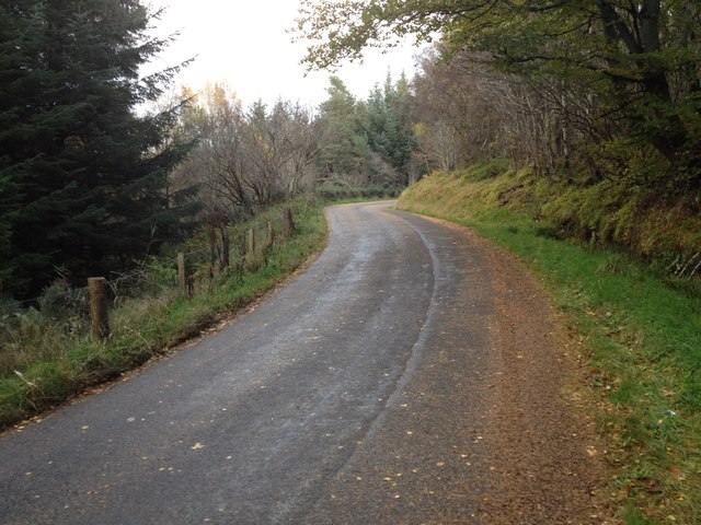
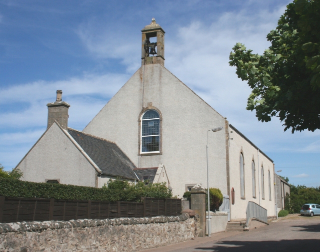
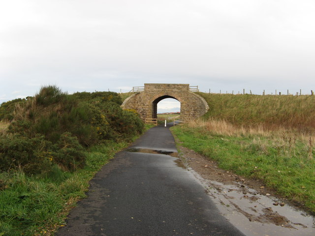
Images are sourced within 2km of 57.67488/-2.9213261 or Grid Reference NJ4565. Thanks to Geograph Open Source API. All images are credited.

Buckie The view is taken from a grassed area on the northwest side of Criagbo Terrace. The houses in the foreground are in Reidhaven Street. The tower crane is in Buckie Harbour.
Buckie
The view is taken from a grassed area on the northwest side of Criagbo Terrace. The houses in the foreground are in Reidhaven Street. The tower crane is in Buckie Harbour.
Buckie Shipyards The ship building and repair yards at the east side of Buckie Harbour.
Buckie Shipyards
The ship building and repair yards at the east side of Buckie Harbour.
Buckie Lifeboat The RNLI lifeboat at its station in Buckie Harbour.
Buckie Lifeboat
The RNLI lifeboat at its station in Buckie Harbour.
Moray Coast Railway The trackbed is now a cycle path (NCN1). A long focus view towards Buckie.
Moray Coast Railway
The trackbed is now a cycle path (NCN1). A long focus view towards Buckie.
Moor of Scotstown View from the railway path, over a barley field towards Bin of Cullen.
Moor of Scotstown
View from the railway path, over a barley field towards Bin of Cullen.
Portessie Station A platform remains at the site of the station. This was a junction with a line to Keith.
Portessie Station
A platform remains at the site of the station. This was a junction with a line to Keith.
Craigbo A field between the Buckie and Portessie Branch which ran to Keith, and the Moray Coast Railway. Beyond the Moray Coast trackbed are the houses of Samson Avenue.
Craigbo
A field between the Buckie and Portessie Branch which ran to Keith, and the Moray Coast Railway. Beyond the Moray Coast trackbed are the houses of Samson Avenue.
Planwell Roofing An industrial estate, Buckie
Planwell Roofing
An industrial estate, Buckie
Moray Coast Railway The trackbed is now a foot or cycle path.
Moray Coast Railway
The trackbed is now a foot or cycle path.
Moray Coast Railway Eastward view from the site of Portessie Station. The trackbed is now used as a cycle path.
Moray Coast Railway
Eastward view from the site of Portessie Station. The trackbed is now used as a cycle path.
Moray Coast Railway Now a cycle path, approaching Buckie from the east.
Moray Coast Railway
Now a cycle path, approaching Buckie from the east.
Millennium milepost East of Buckie on the trackbed of the Moray Coast Railway.
Millennium milepost
East of Buckie on the trackbed of the Moray Coast Railway.
Burn of Rathven A dean seen from the railway footpath on the edge of Buckie.
Burn of Rathven
A dean seen from the railway footpath on the edge of Buckie.
Minor road near Hilton Wood
Minor road near Westerside
Farm road to Westerside Farm
Minor road near Carnoch
Show me another place!

Broom Hill is located at Grid Ref: NJ4565 (Lat: 57.67488, Lng: -2.9213261)

Unitary Authority: Moray

Police Authority: North East

What 3 Words

///sorters.socialite.issue. Near Buckie, Moray

Related Wikis

Rathven

Rathven (Scots: Raffin) is an ecclesiastical parish, village and former civil parish in the historic county of Banff, now in Moray, Scotland. The civil...

Buckie railway station (Highland Railway)

Buckie railway station was one of two stations which once served the town of Buckie, in the parish of Rathven, Scottish county of Moray. This Highland...

Rathven railway station

Rathven railway station was a station which served the hamlet of that name, about a mile away in the parish of Rathven, Scottish county of Moray. It was...

Portessie railway station

Portessie railway station was a joint Highland Railway (HR) and Great North of Scotland Railway (GNoSR) station at the junction between the Moray Coast...

Nearby Amenities

Located within 500m of 57.67488,-2.9213261
Power: pole
Lat/Long: 57.6711556/-2.9249382
Power: pole
Lat/Long: 57.6714152/-2.9232726
Power: pole
Lat/Long: 57.6716591/-2.9216257
Power: pole
Lat/Long: 57.671857/-2.9202524
Power: pole
Lat/Long: 57.6720693/-2.9188684
Power: pole
Lat/Long: 57.6723131/-2.9172
Power: pole
Lat/Long: 57.6725398/-2.9156739
Power: pole
Lat/Long: 57.6752925/-2.9272904
Power: pole
Lat/Long: 57.6759788/-2.9281695
Power: pole
Lat/Long: 57.6765092/-2.9288386
The data included in this document is from www.openstreetmap.org. The data is made available under ODbL.

Have you been to Broom Hill?

Leave your review of Broom Hill below (or comments, questions and feedback).